
-
 3344 Hits
-
 71.06% Score
-
 1 Votes
|
|
Route |
|---|---|
|
|
46.76020°N / 12.85680°E |
|
|
Hike and Scramble |
|
|
Half a day |
|
|
Scramble-Up |
|
|
Approach
Please refer to the main page for the itineraries to the starting point at Oberpirkach. Please note that the village is located at an altitude of only 636m. To reach the Hochstadel summit you have to climb 2050m!!
From Oberpirkach you can reach the trailhead at Unholdenalm by car or "hut taxi". Of course you can hike, it takes at least three hours if you follow the road. If you follow the footpath which cuts short the bends of the road you can gain about 30 minutes.
Route Description
- Start altitude: 1780mm
- Summit altitude: 2681m
- Prevailing exposition: E
- Type: 3h 30min over paths
- Protection: marked
Schneeklamml, the snow couloir on the south-western side of Hochstadel is by far the more interesting of the two moderate ascent routes to the mountain. It is, however, much more crowded since the proximity to the east-west trekking trail "Drei Törl Weg" ensures that lots of trekkers use Hochstadel as a final highpoint of their tour.
From the trailhead at Unholdenalm you have to follow Drei Törl Weg (marked 213) around the southern flank of Hochstadel. The trail follows a cirque, the southern flank of which it climbs after some 3km. From here the trail to Leitentörl, the entry point of the Schneeklamml Route, is steep, moderately exposed and panoramic.
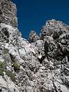
To reach Schneeklamml from Leitentörl you first have to follow a trail (marked 218) along several narrow ledges. It crisscrosses the southern part of Hochstadel until it finally reaches the couloir. In dry conditions the ascent through the couloir is far from difficult, you'll need the fixed ropes of that section only every once in a while.
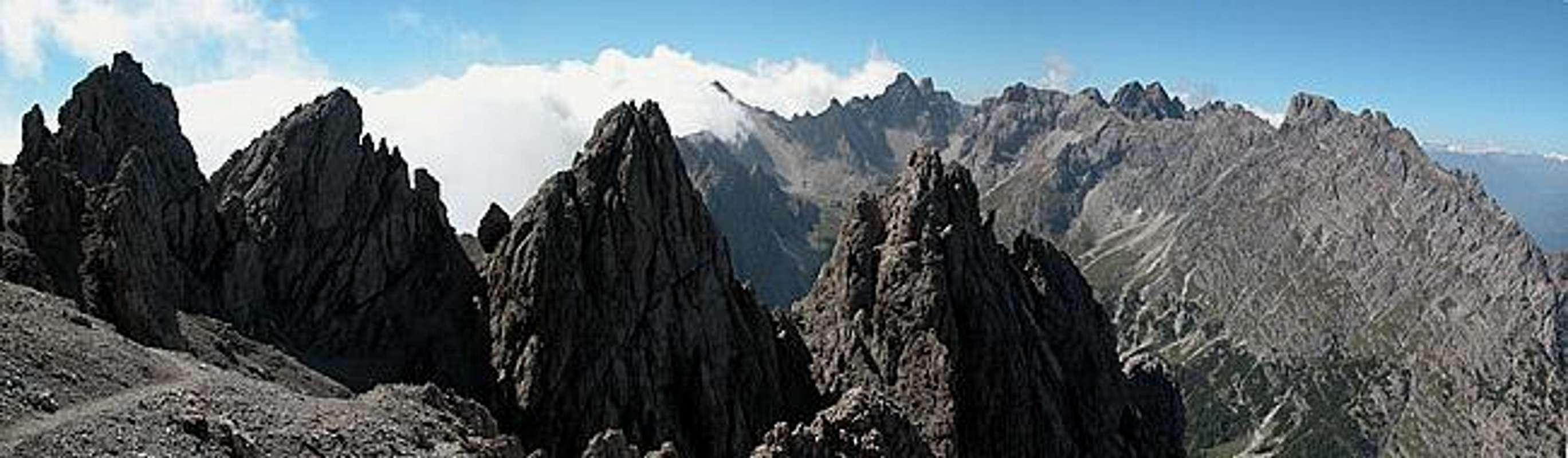
The most beautiful part of the ascent follows as you reach the upper end of Schneeklamml. From here a ledge traverse cuts through the southwestern face of the Hochstadel summit block. A parade of gendarmes to the west makes for a beautiful contrast with the central Laserz part of the Lienz Dolomites.
The trail turns east and negotiates the pass between the western false summit and the main one. It heads for the south-western Hochstadel summit ridge which it follows on to the top.
 |  |  |  |  |
Essential Gear
Normal hiking gear is sufficient.