
-
 3866 Hits
-
 83.1% Score
-
 16 Votes
|
|
Route |
|---|---|
|
|
46.44147°N / 10.79404°E |
|
|
Download GPX » View Route on Map |
|
|
Hiking |
|
|
Summer, Fall, Winter |
|
|
Half a day |
|
|
Hike |
|
|
Overview
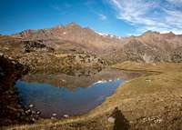
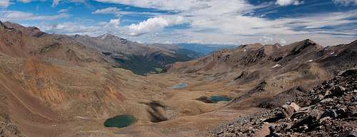 The lake studded valley of the ascent route to Gleckspitze / Collécchio The lake studded valley of the ascent route to Gleckspitze / Collécchio |
The northern Route to Gleckspitze / Collécchio through Weißbrunner Tal along Voschauer Bach Creek is 7km long and scales about 1100m of elevation. Most of the route is an easy hike along the creek which cascades in two big steps. This lower part of the route is also part of a "Lake Tour", a hike between four lakes of the area: Weißbrunner See, Grünsee, Langsee and Fischersee. Thus, especially during the early afternoon hours it can become quite crowded.
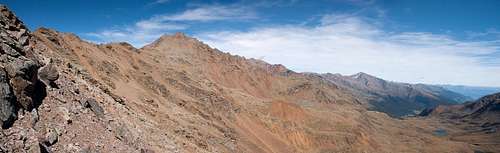 Eggenspitzen from the uppermost part of the route
The upper part of the route, i.e. above Langsee, is also divided by two big steps in the terrain. The first can be scaled easily but the final ascent between Schwarzsee / Lago Nero and Schwarzer Joch / Giogo Nero is very steep. From the pass easy hiking routes lead to either of the two Gleckspitze summits.
Getting There
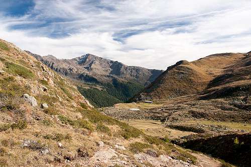 Hasenöhrl above Oberer Weißbrunner Alm
The route starts at Weißbrunner See / Lago Fontana Bianca at the very end of Ultental / Val d'Ultimo. You can find the intinerary on the main page.
Route Description
 Schwarzsee / Lago Nero
- Start altitude: 1900m
- Summit altitude: 2957m
- Prevailing exposure: North
- Type: Hike
nbsp; - Protection: None
From Weißbrunner See / Lago Fontana Bianca trails 140 1nd 107 lead upwards in south-westerly direction. After a short while they separate, 140 heading fro Grünsee / Lago Verde, while 107 leads to Fischersee and Weißbrunner Alm. A first steep step is reached and some dozen switchbacks take you to lake and pasture. The trail passes both by, following the valley of Voschauer Bach / Rio Valsura.
  |
Now the trail turns south-east and climbs the next step along brittle and sometimes very eroded terrain. another dozen switchbacks take you to Obere Weißbrunner Alm, another mountain pasture. Here the route flattens while the valley widens. Gleckspitze / Collécchio can be seen in the distance but pales beside Eggenspitze and Zuftrittspitze. There is another lake near the pasture, in which these latter mountains perfectly mirror.
 |  |  |
Now, for a long while a gradual slope takes you to the next lake, Langsee / Lago Lungo, the biggest one among the lakes along the route. It fills the whole valley and forms marshes, which appear to be popular with the farm animals which are left to graze here. You can find big herds of goats, sheep and Haflinger horses.
 |
Beyond Langsee / Lago Lungo there is a trail intersection. The right hand trail leads northward to Grünsee / Lago Verde, the left hand trail leads towards Passo di Rabbi and Rifugio Lago Corvo / Haselgruber Hüttte while the straight one leads to Schwarzsee / Lago Nero and the likewise called saddle. It circles a buttress, which comes down from Vordere Eggenspitze / Cima Sternai Meridiana and which is called Monte dei Metalli thanks to the gleaming look of its rocks. Quite suddenly, after turning the rib, you reach Schwarzsee / Lago Nero.
 | 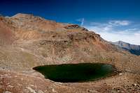 |  |
Turn left, following the signs to Gleckkspitze / Collécchio and a steep path heads up to Schwarzer Joch / Giogo Nero. It does so in many a switchback. Finally, the saddle is reached at 2922m. The remainder is an easy hike to one of the two Gleckspitze summits. The direct route to the northern one (cross summit) is quite steep but scales only 50m of elevation. The higher south summit can be reached by following the hiking trail, which heads down to Rabbi. Before the summit turn left and climb it from the eastern side. There's a big cairn on top.
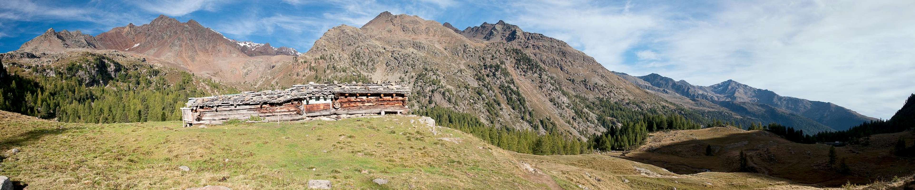
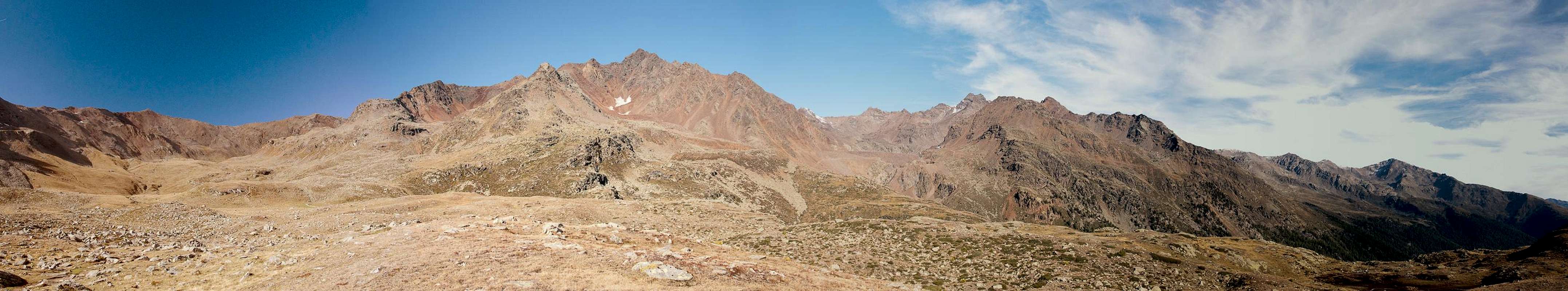
 Upper Val di Rabbi