|
|
Route |
|---|---|
|
|
33.48740°N / 111.42682°W |
|
|
Hiking |
|
|
Spring, Fall, Winter |
|
|
Half a day |
|
|
Hike |
|
|
Overview
Second Water is a popular hiking trail in the Superstition Mountains east of Phoenix, Arizona. The hike starts at First Water Trailhead just north of Apache Junction. It goes up to Garden Valley, a 2400 ft high plateau that is covered by bushes and Cholla Cacti. It then drops into Boulder Canyon to end at the junction with Boulder Canyon Trail.
Map
Getting There
From Apache Junction drive a few miles north on Route 88 past the sign for Lost Dutchman State Park until you see the sign for First water Trailhead. Turn right on dirt road and drive 2.5 miles to the end of the road at the trailhead. The dirt road was well graded and passable by any car when I was there.Route Description
Views at the trailhead.


At the trailhead, you will follow the Lost Dutchman Trail (#104) 0.3 mile southeast. You will have good views of the north face of the 5024 ft Flatiron Peak.

Flatiron Peak

Flatiron Peak
You will then reach the signed intersection with Second Water Trail (#236). Turn left and follow this trail into a small valley.


The trail soon makes a 90 degree turn and goes up to reach the edge of Garden Valley Plateau. You can look back to see the valley you climbed out of.

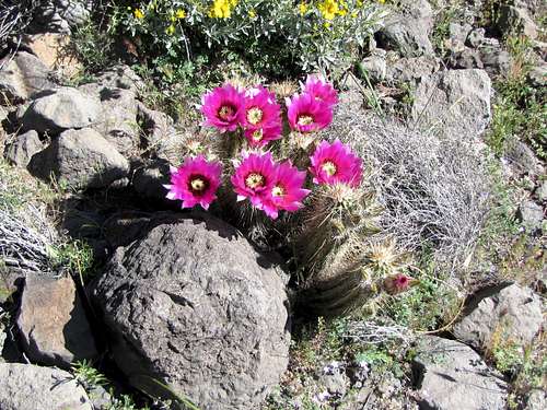
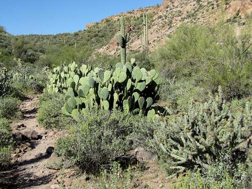
For the next mile or so, the trail will travel the surface of Garden Valley where there is an overabundance of green bushes and Cholla Cacti. You will also go by the signed intersection of Black Mesa Trail (#241).


Look to the south to see the tip of the 4553 ft Weavers Needle coming to view at times.

Weavers Needle
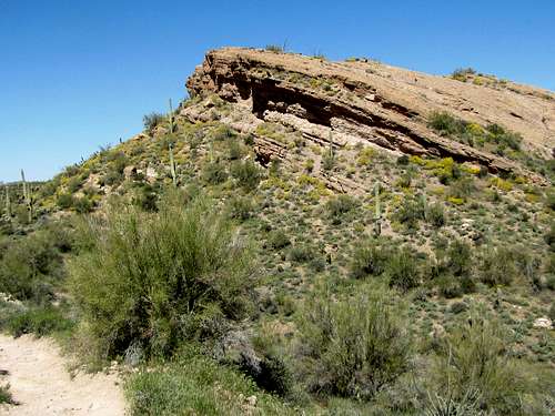
The trail then reaches the base of the slopes of Hackberry Mesa.


The mountains known as Four Peaks will come to view to the northeast.

Four Peaks
You will then reach the edge of Garden Valley Plateau. The walls of the 2797 ft Battleship Mountain and 3479 ft Geronimo Head will be visible to the east.

Geronimo Head & Battleship Mountain
The trail will then begin to descend into the valley of Second Water Creek steeply.


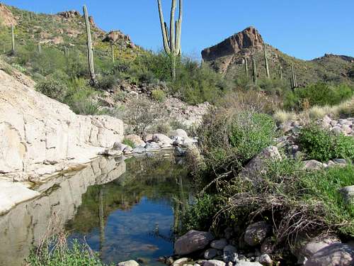
At the bottom of the descent you will go through a small area with lush grass and trees.


You will soon reach the signed junction with Boulder Canyon Trail (#103) where Second Water Trail ends.