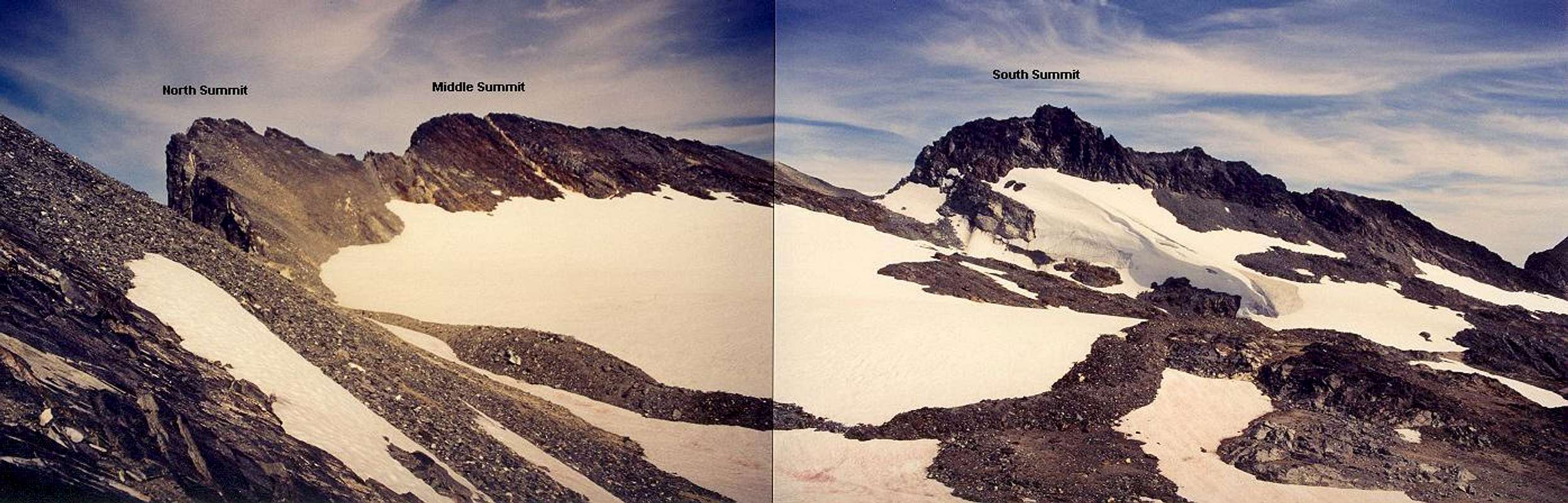
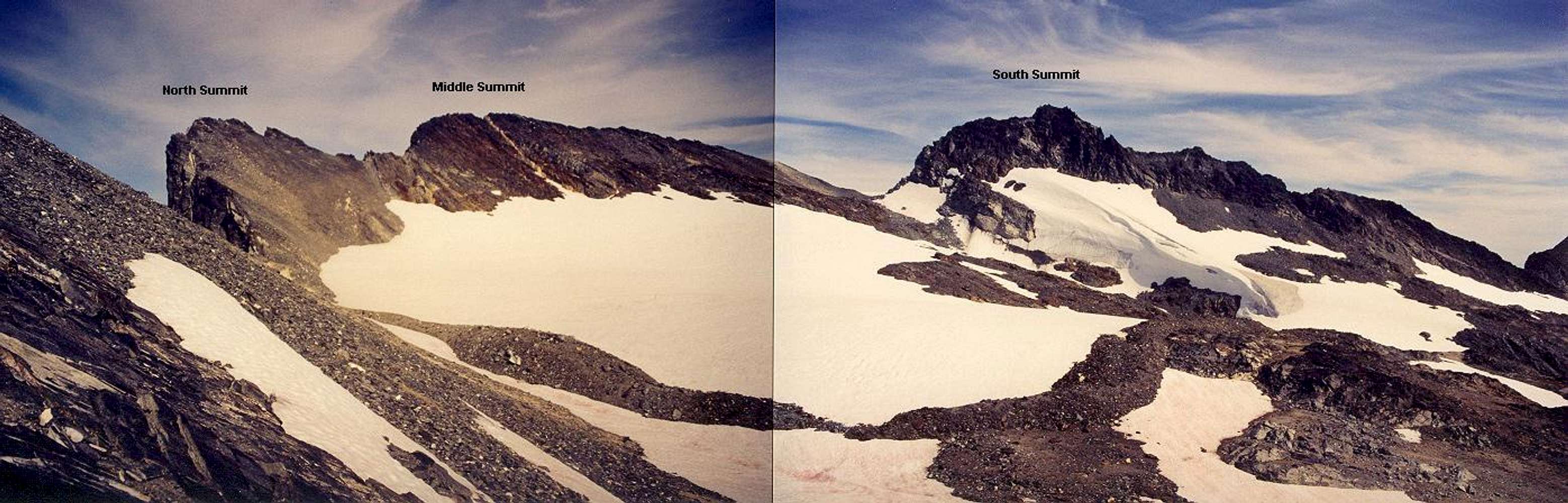
Section 7 of the West Shoulder Route: a three shot panorama of the three main summits as seen from closely southwest of the west summit on August 18, 2002. The silvery point at left is the 8,528-ft north summit. The long red point to the right of this is the 8,528+ ft middle summit. The rocky point with ice remnant at its base is the 8,360+ ft south summit (South I), though I believe the map is in error (the peak is approx. 8520 ft).
For large size image:
Click here. The distant pyramidal peak to the right of the south summit is the 8,316-ft southwest summit (South II). At far right in the distance is
Clark Mountain (8,602 ft) with its mantling Walrus and Richardson Glaciers.


