

Comments
No comments posted yet.
|
|
Trip Report |
|---|---|
|
|
Download GPX » View Route on Map |
|
|
Feb 7, 2023 |
|
|
Hiking |
|
|
Winter |
On Google Earth, I had seen what looked like colorful, eroded and barren Lands on the California side of Colorado River near Imperial Dam north of Yuma, Arizona. I did a 6.5-mile hike exploring the area and climbed a 445 ft high hill with good views. ATV tracks crisscrossed the area. Fortunately, I did not see or hear ATVs, or any other hikers for that matter.
Hike length: 6.54 miles
Elevation Range: 200 ft to 445 ft (Colorado River Elevation:180 ft)
Total ascent: 1927 ft per my GPS, 1158 ft per Google Maps, 891 ft per Caltopo (The discrepancy might be due to the extreme amounts of small ups and downs that might be difficult to show on a map)
February 7, 2023
Left Yuma, Arizona at 6:50 AM (sunrise 7:30 AM) and drove to Imperial Dam Long Term Campground in California. Was astonished to see hundreds of RVs on the desolate looking campground. Went beyond Imperial Dam Campground on the dirt road toward Senator Wash North Shore Campground. In one place, the dirt road went down and then up steeply. I did not have four-wheel drive, but the rental pickup truck did fine.
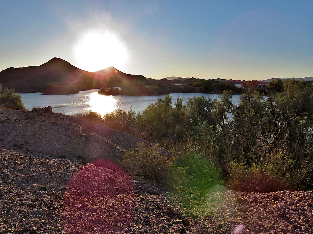
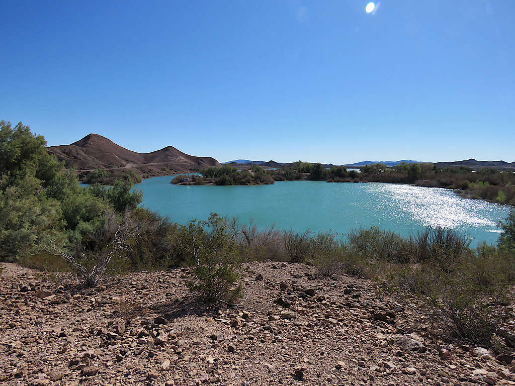
Did not want to keep driving that road so I parked at a spot with ample parking space and began my hike at 7:50 Arizona time (6:50 California time). Where I parked, turned out to be around one third of a mile before the start of the path that I had entered into my GPS, so I started to hike the road. Camping RVs and trailers could be seen here and there but nothing like the crazy density that I had seen at Imperial Dam Campground. View of Senator Wash Reservoir and Point 472 ft.
Reached a place where a wall dropped down into a dry desert wash. Did not see campers or people after that.
Backtracked a little and found a way down the slopes into the bottom of the wash.
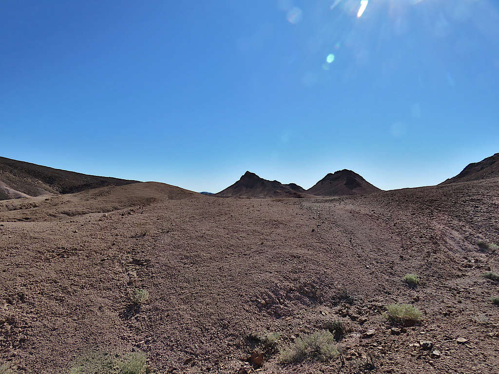
Went up a black barren slope on the north side of the wash to a saddle. A beaten ATV track could be seen on the other side.
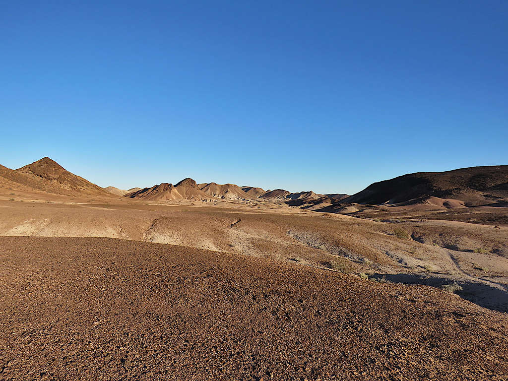
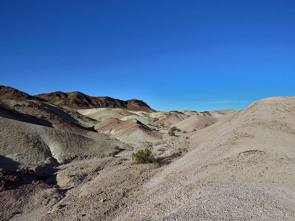
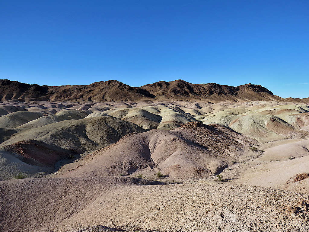
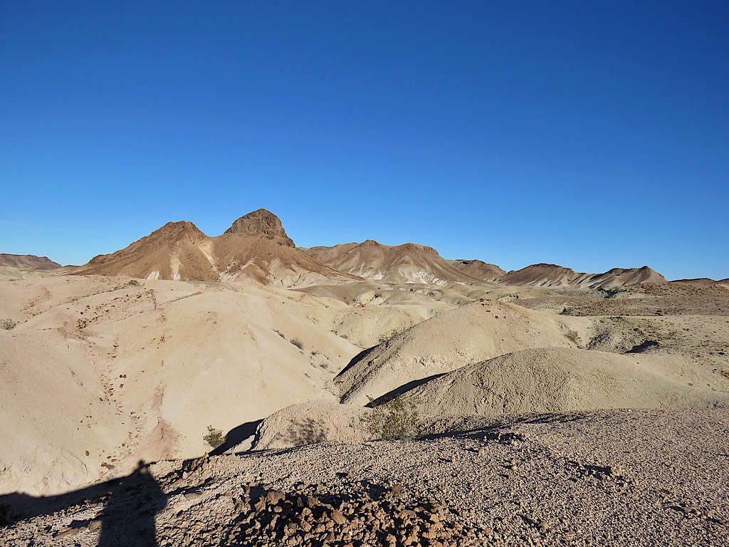
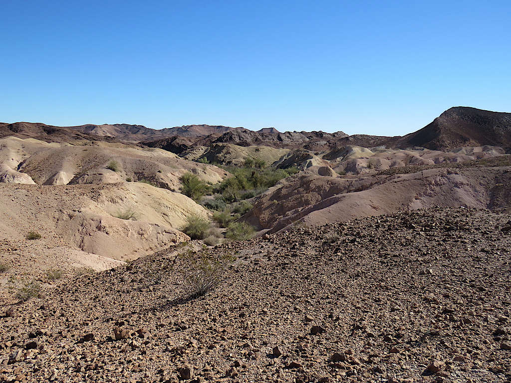
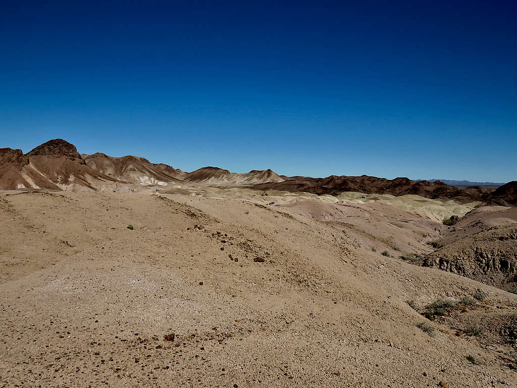
Continued north until the area opened up to give me a good view of the colorful barren landscape to the north.
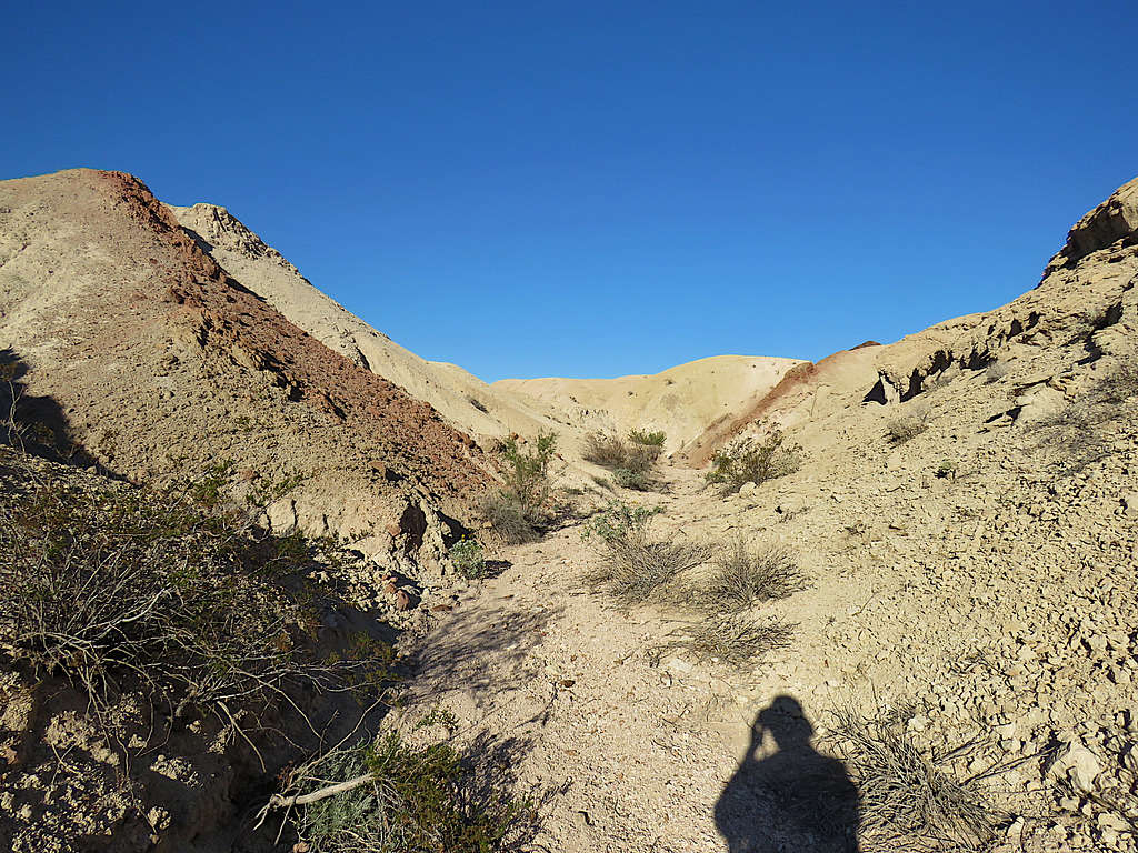
Turned east going down a drainage toward Colorado River.
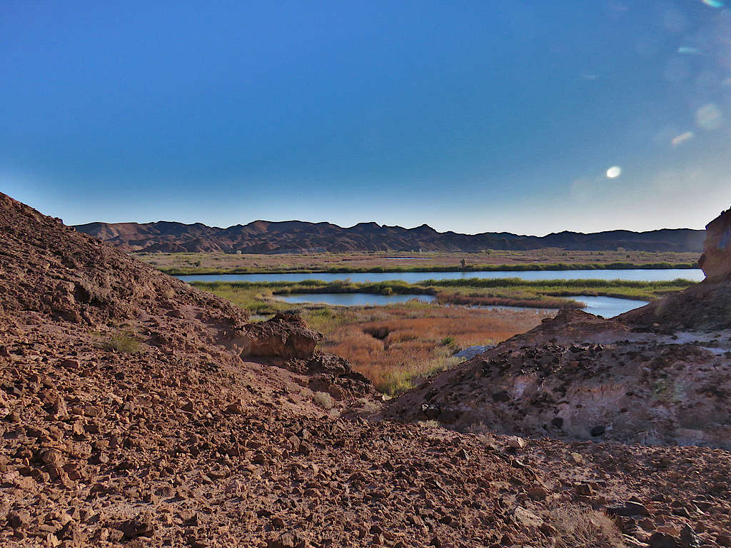
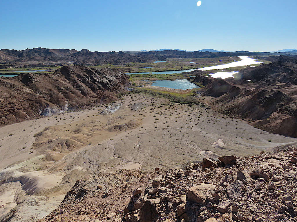
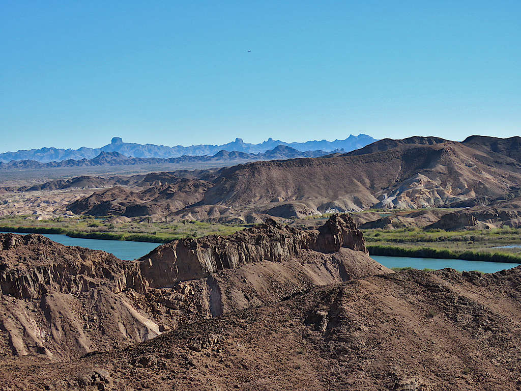
A glimpse of the Colorado River.
Following the path that I had entered into my GPS, I turned north traversing a slope parallel to the banks of the Colorado River. As I had seen on Google Earth and satellite images, reaching the river would have involved travel through swampy bushlands so I did not even attempt.
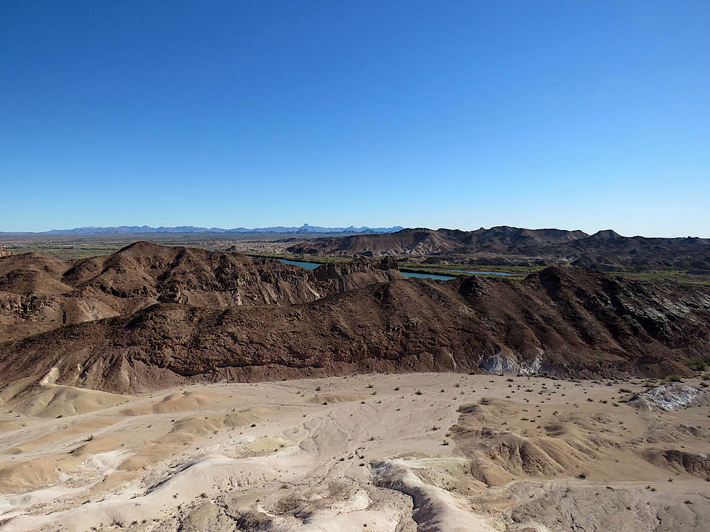
Looking east at Colorado River and Arizona on the other side.
Looking south at the slope I had traversed.
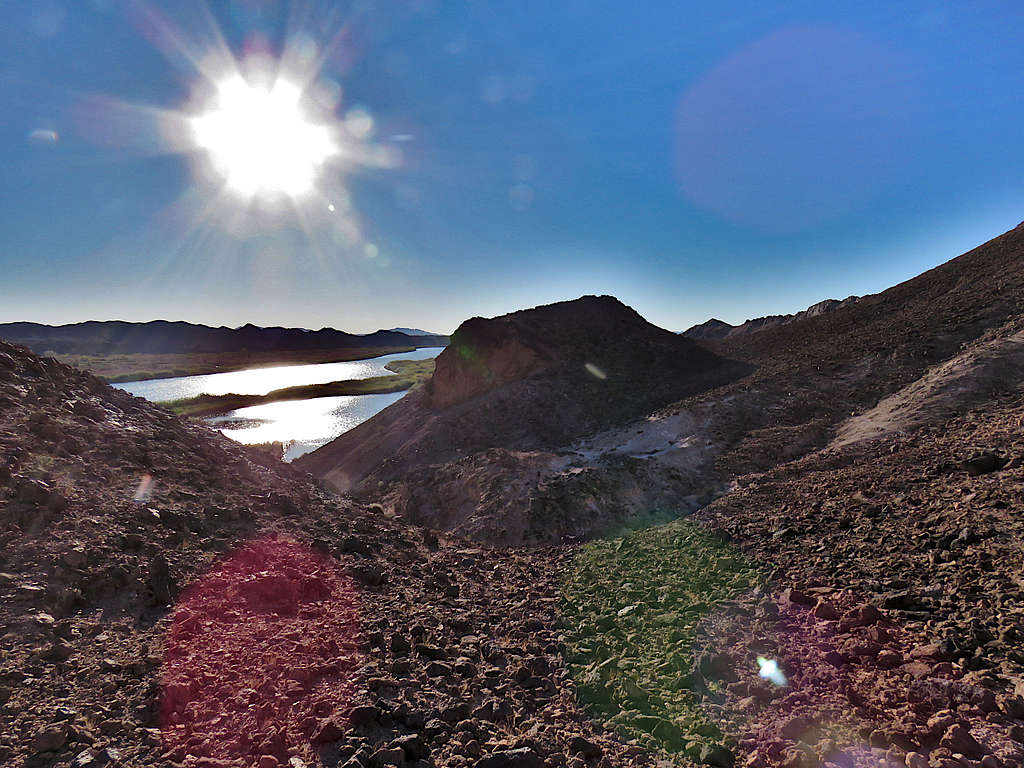
Continuing north would have taken me to the top of a wall that dropped into a wash, therefore I turned west and began to go down easier slopes.
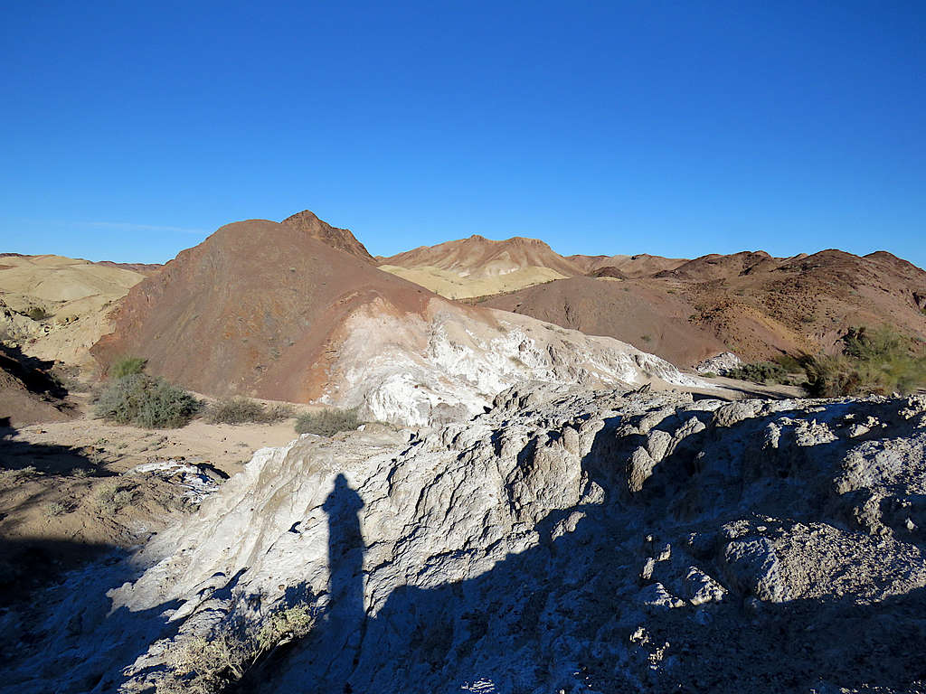
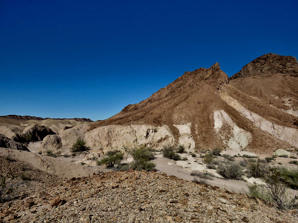
Really colorful, getting near the bottom of the wash.
Hiking west at the bottom of the wash.
Did not want to stay at the bottom of the wash where the views were limited so I began to go up a slope.
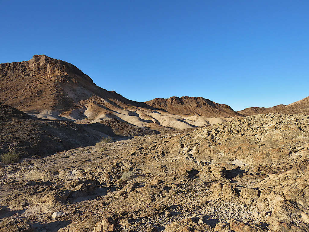
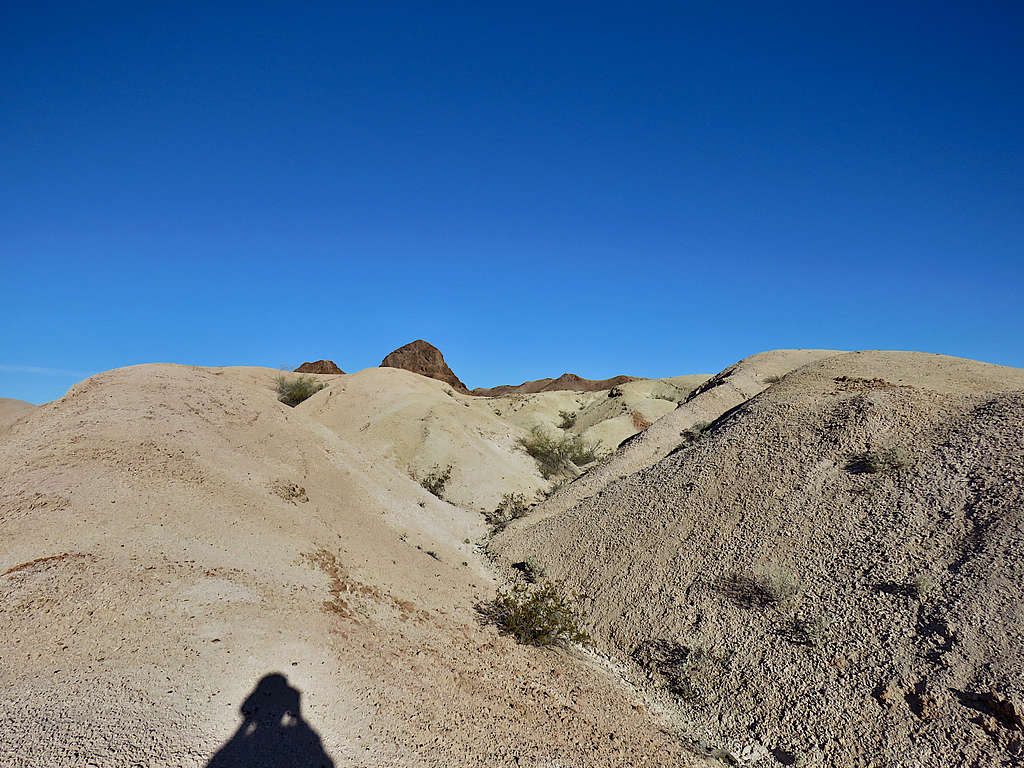
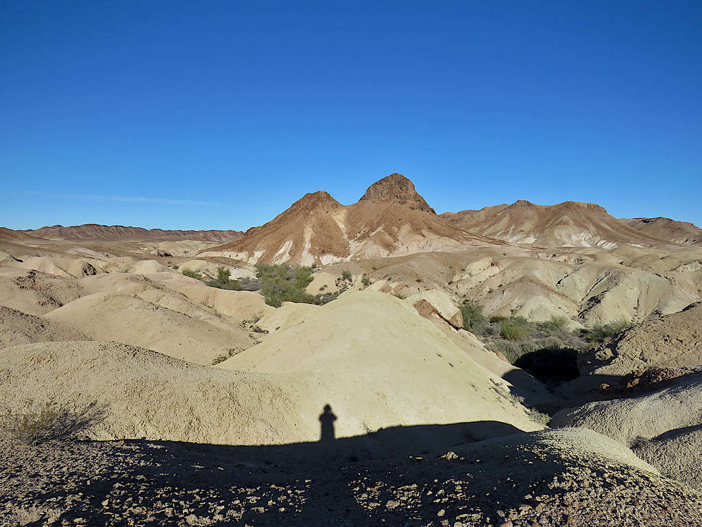
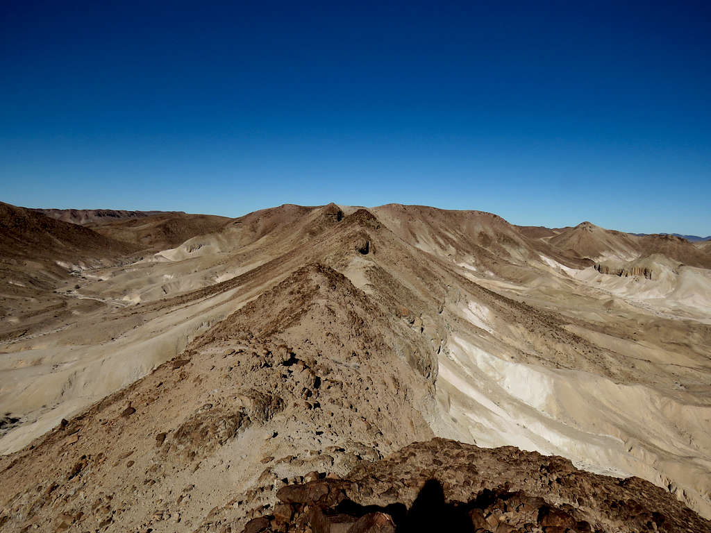
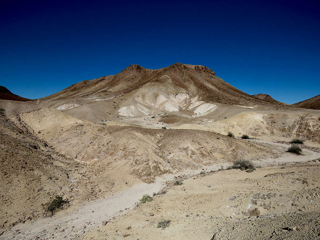
Near the top with Point 545 ft visible.
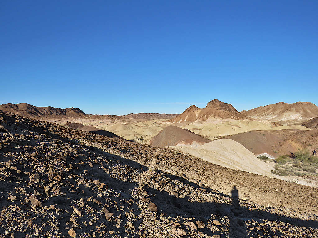
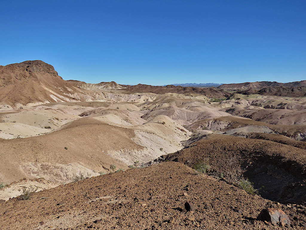
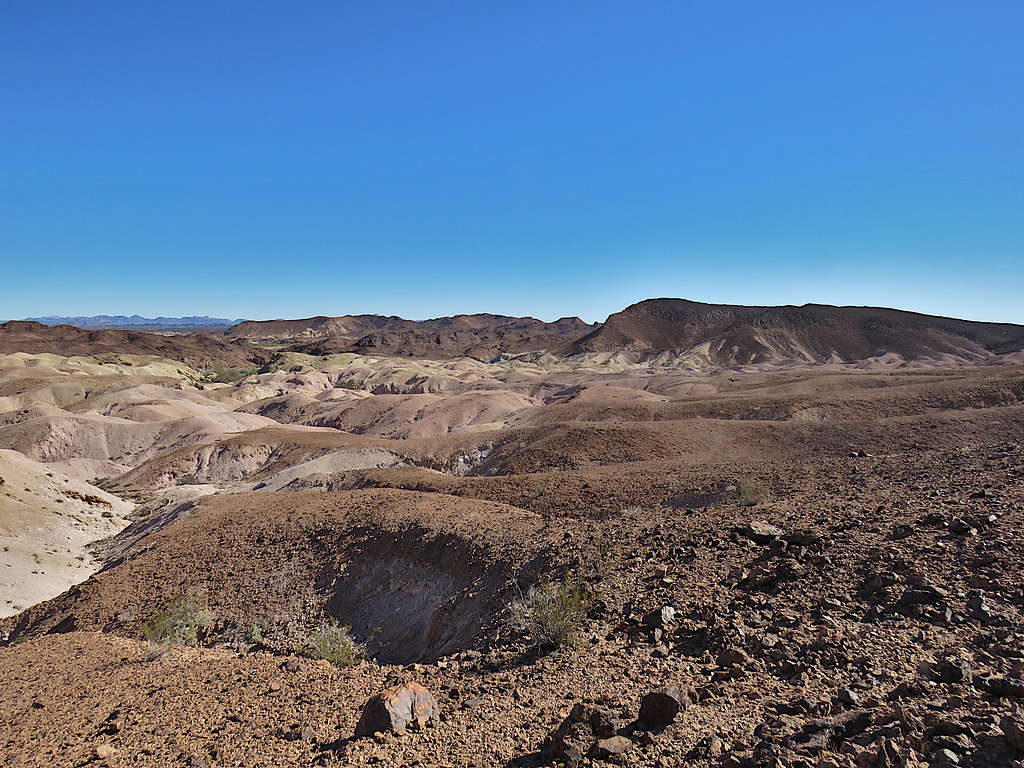
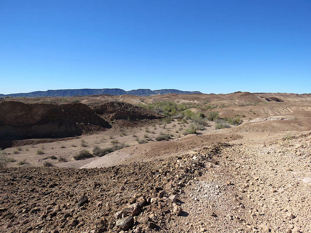
Amazing views from the top.
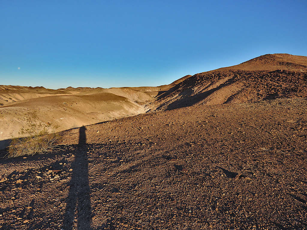
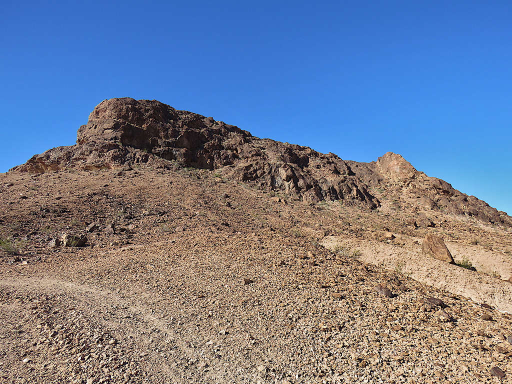
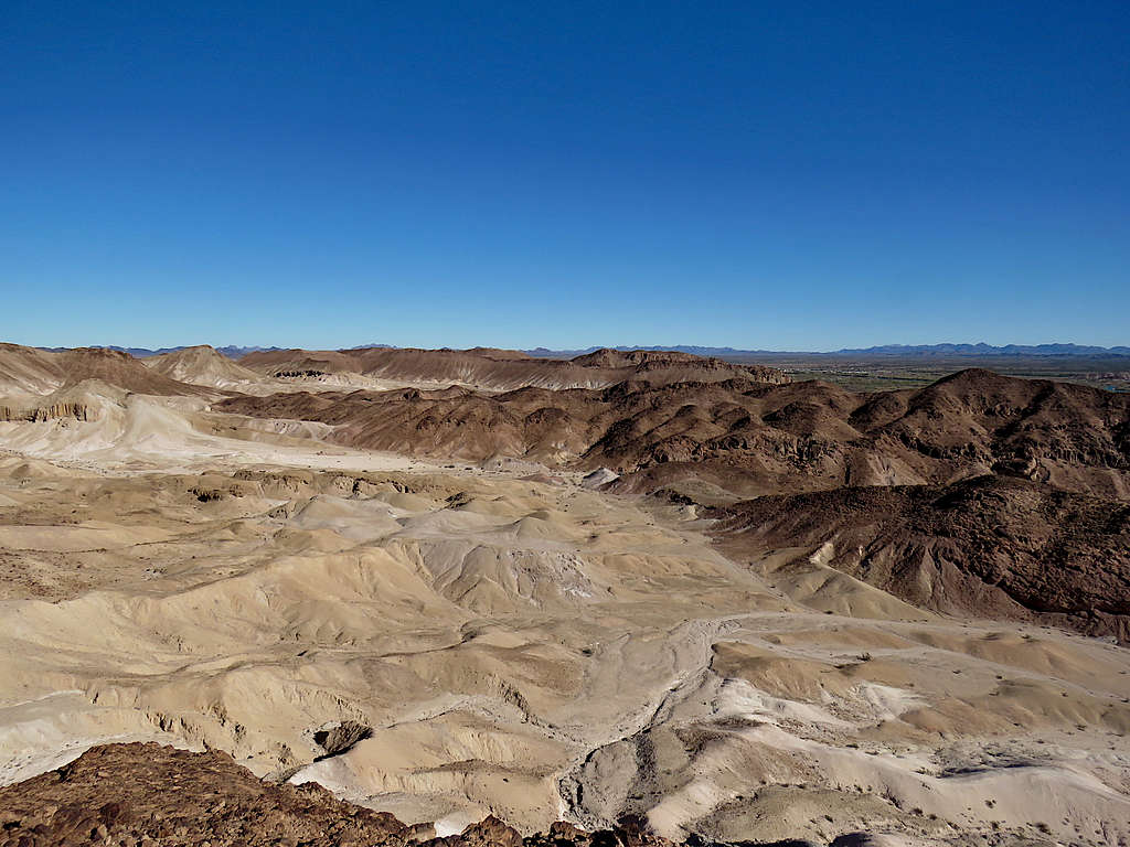
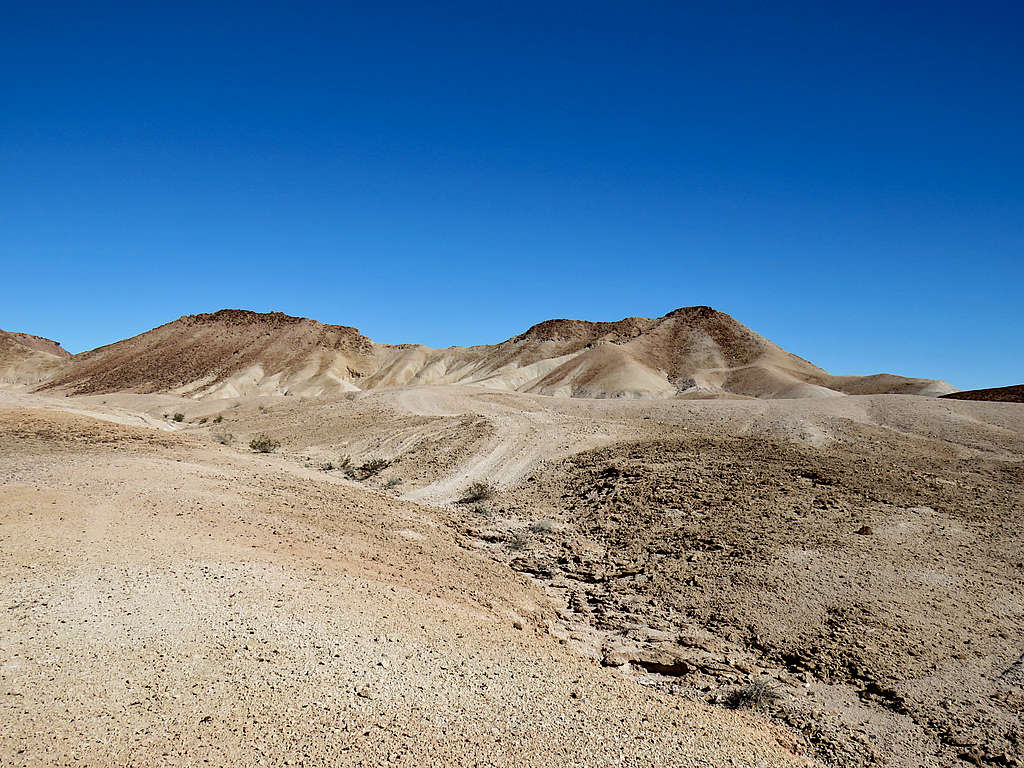
Wandering up and down the badlands. The ground was dirt as hard as concrete with loose gravel all over it. Some of the slopes became very steep. A slip and fall on the gravel would have caused much pain if not fractures. Eyeballed a hill in the distance and decided to climb it and then return. Later, on the USGS Map, I noted that the hill that I had eyeballed was Point 445 ft.
Was surprised to see manure in many places. What kind of hardy creature lived there? Desert Goats? Every now and then, I heard what sounded like distant explosions. It wasn’t until later when I figured that the sound must have been coming from the nearby army proving grounds.
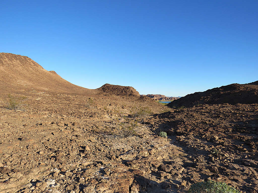
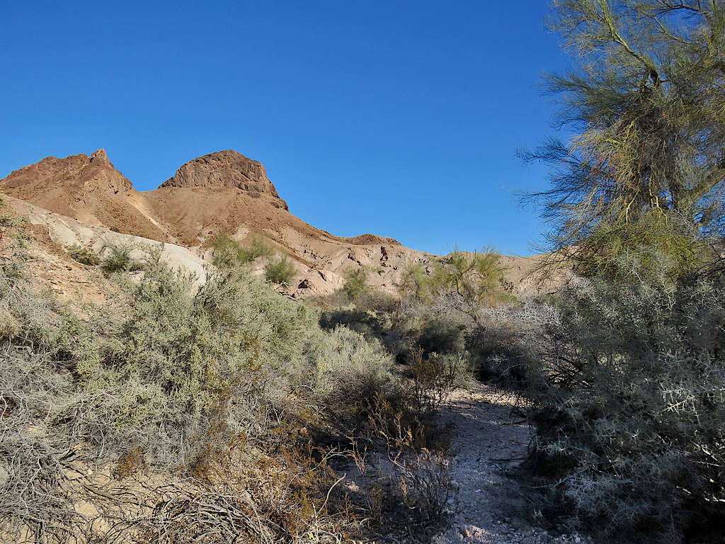
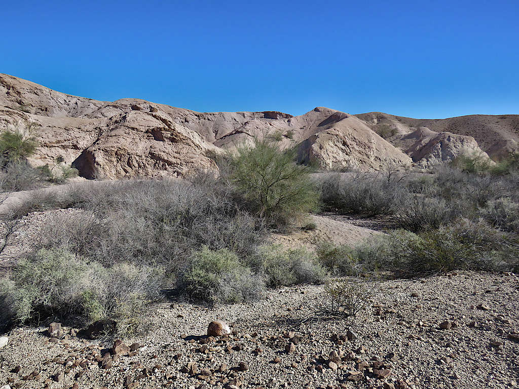
Ended up going down to the bottom of a wide wash where there was a lot of vegetation.
Up on the other side of the wash, I reached an ATV track. To avoid running into crazy steep slopes, I decided to follow the track. It actually turned out to take me toward my chosen Hill 445 ft.
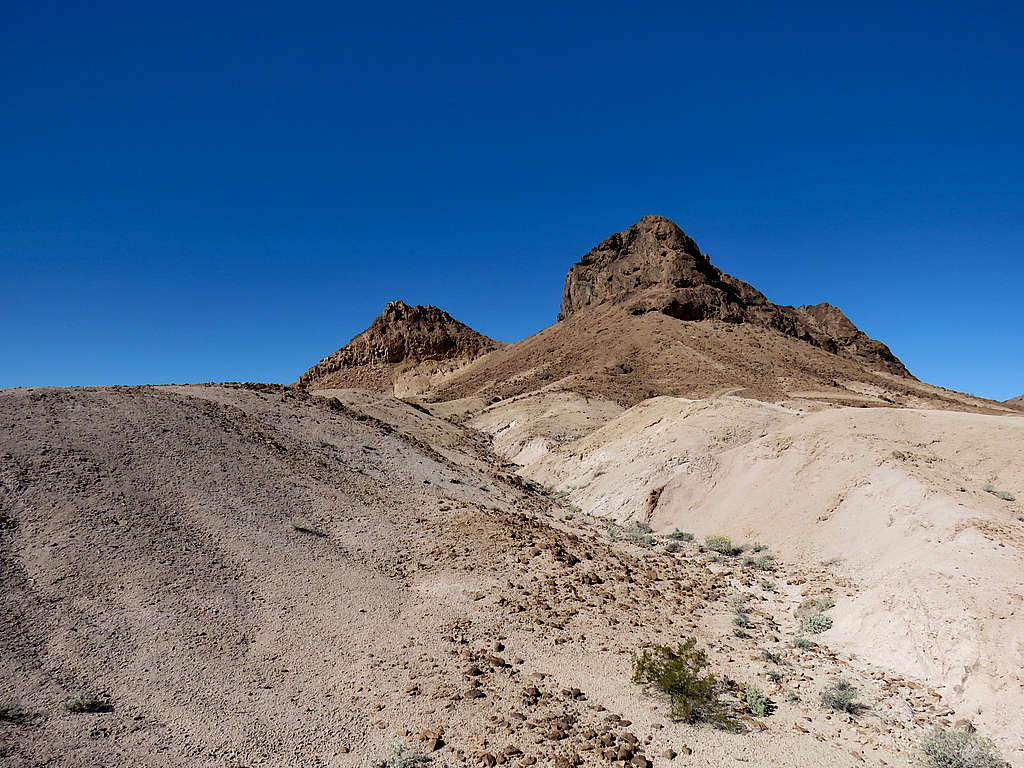
Below the top of Hill 545 ft.
Another view of Hill 445 ft.
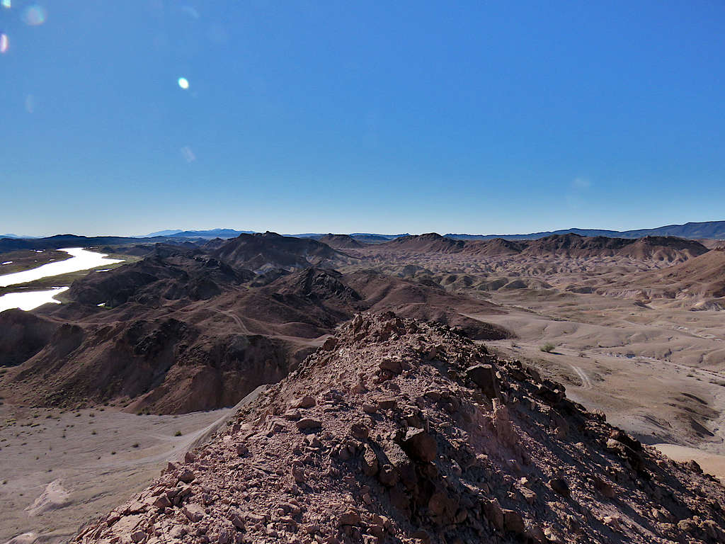
Went up the slopes to reach the summit of Hill 445 ft which was a narrow and airy feeling ridgeline. Found a place wide enough to take my backpack off and put it on the ground. The whole time that I was there, I was concerned that the backpack or myself might tumble off the edge on either side. It was 10:10 AM and I had hiked 3.73 miles.
Looking southeast at the Colorado River.
Looking south.
Looking southwest, Hill 545 ft seen.
Looking northwest along the ridgeline.
Looking north.
Looking northeast.
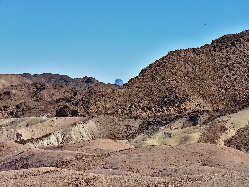
Zoomed view of Castle Dome Peak to the northeast.
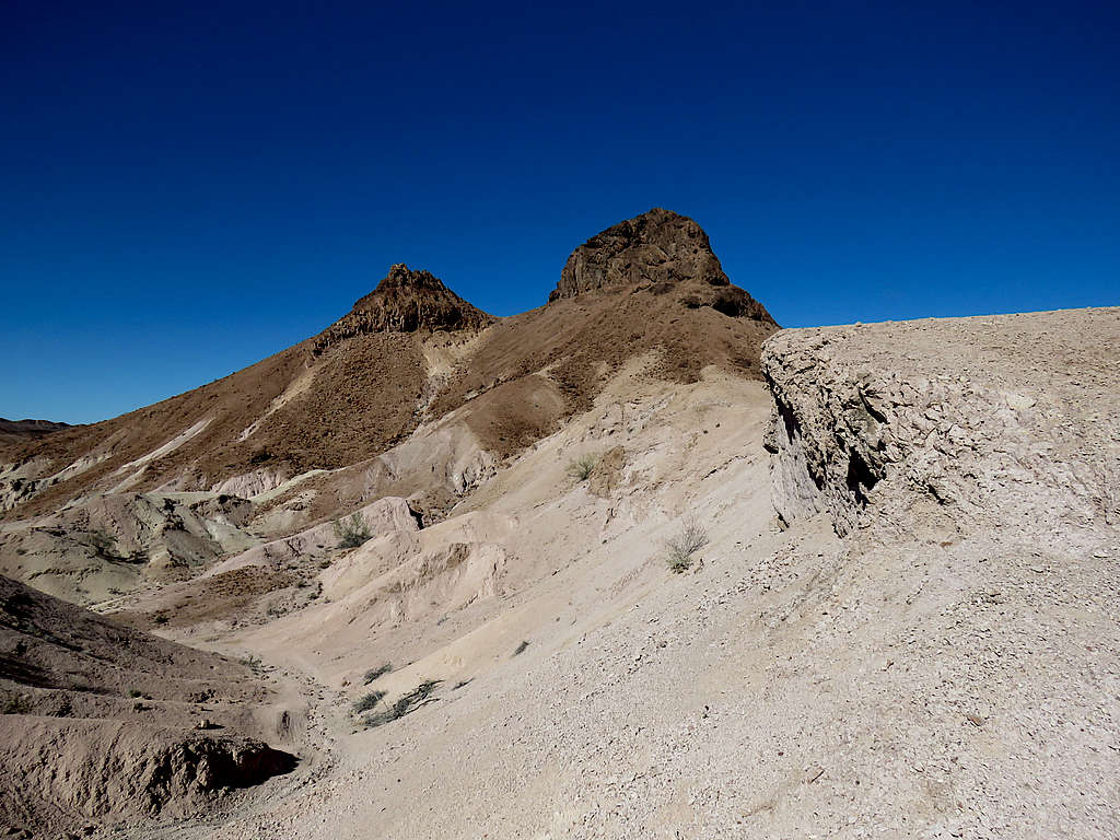
After eating and enjoying the views, I left at 10:30 AM going down the steep slope, then got on the ATV track and began to follow it south the way I had come. Looking back at Hill 445 ft.
More views along the way.
Hill 545 ft.
The track went down a very steep slope to reach the bottom of the wash making me wonder how any vehicle could climb that slope without tipping over. As I was wondering about that, I slipped and the weight of my body fell on my left thumb. Fortunately, nothing broke and I was able to move my thumb but noted a couple of dirt filled wounds that began to bleed. Had forgot to bring my first aid kit. Washed the wound with water, wrapped it with toilet paper and put a glove on to keep the paper in place.
Bottom of the wash.
Climbing out of the wash on the south side.
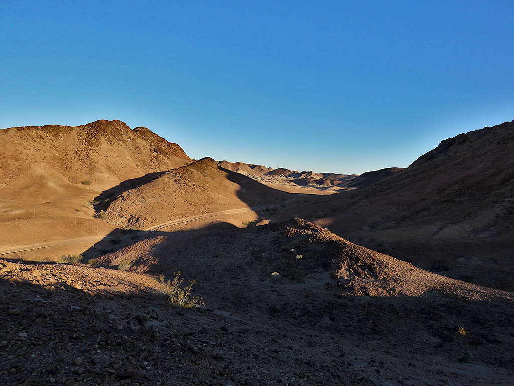
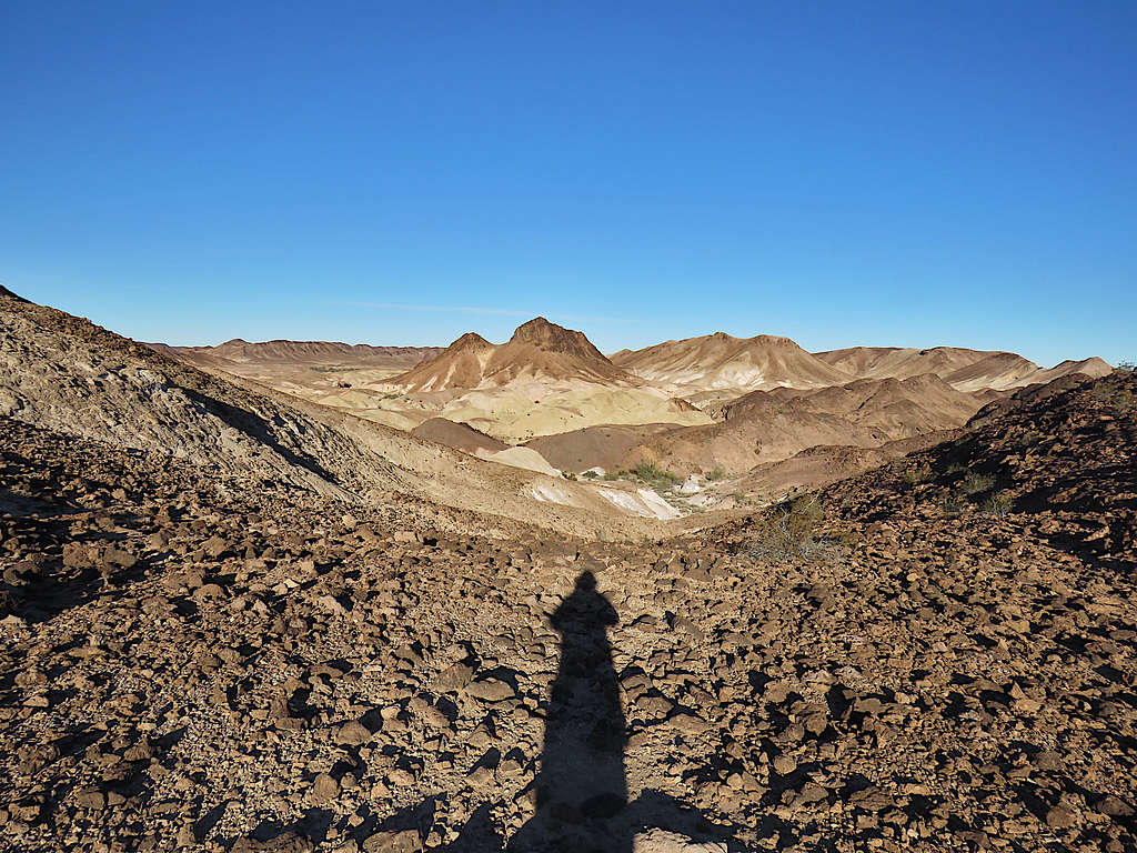
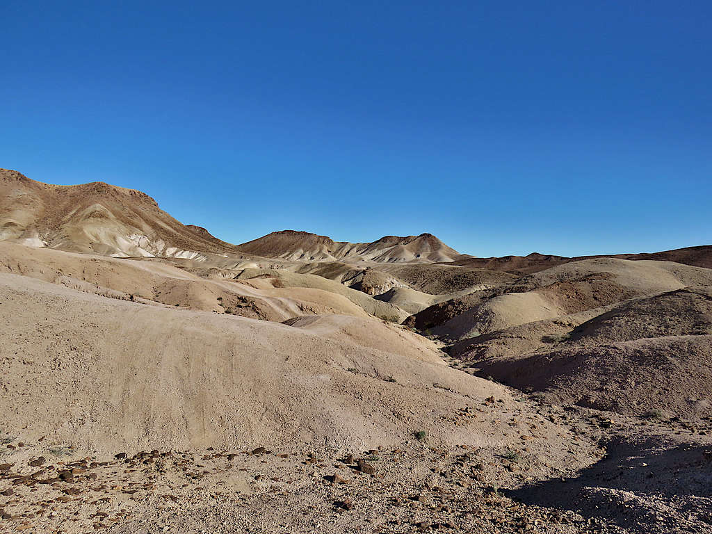
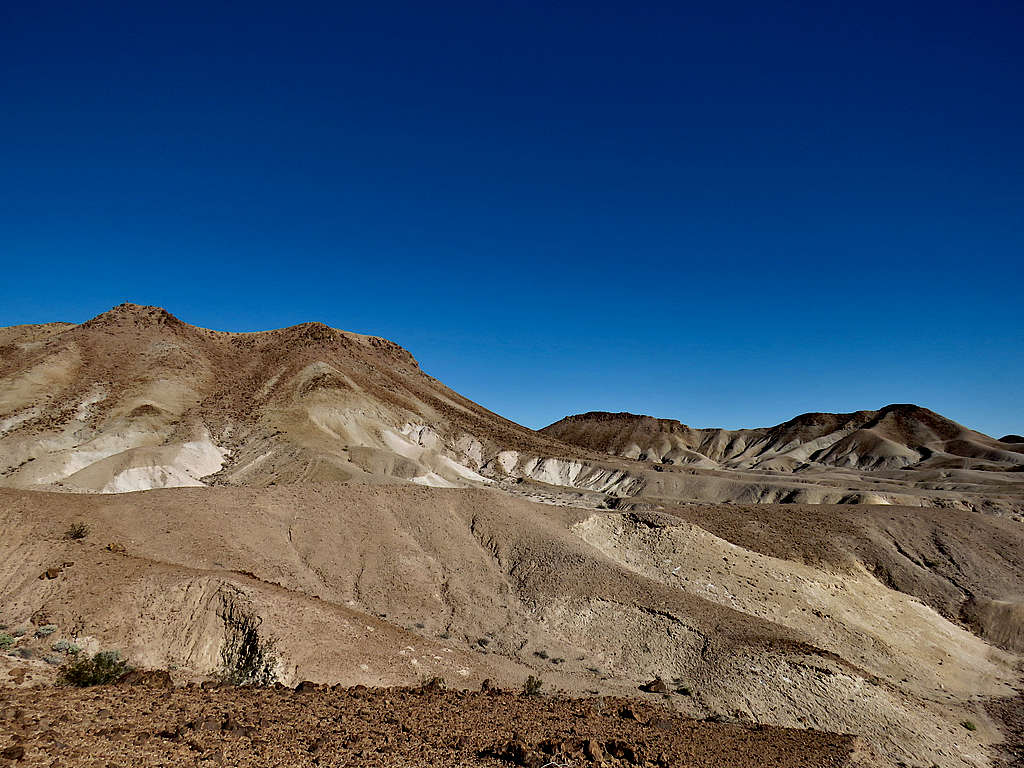
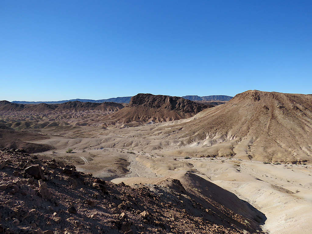
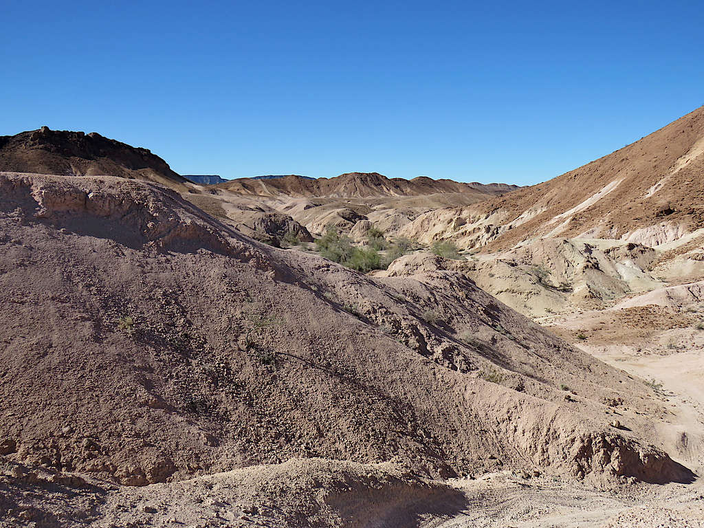
The track faded away. To avoid the endless maze of badland ups and downs, I went to the southeast and began to traverse a slope that avoided all difficulties. View of the colorful badlands.
Zoomed view of Arizona’s Castle Dome Peak.
Going up the black hill to reach the saddle where I had come from in the morning.
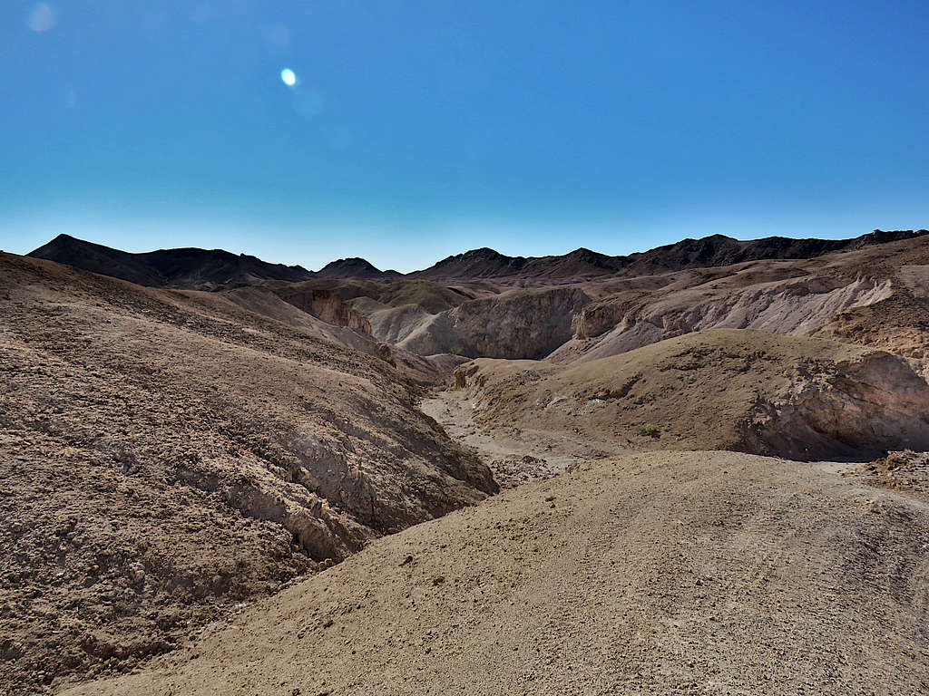
Last look back north at the badlands.
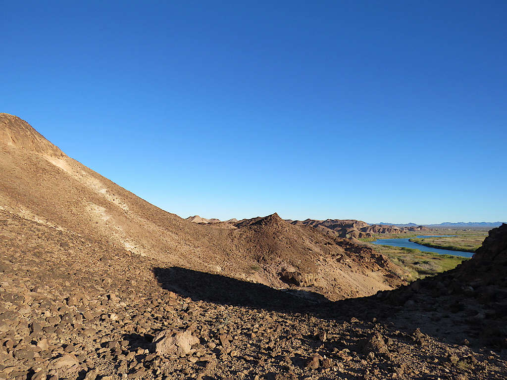
Going down from the saddle to cross the last wash. Campers at Senator Wash North Shore seen.
Hiked the road back to my truck where I arrived at 12:08 PM. Senator Wash Reservoir and Point 472 ft.