
-
 4363 Hits
-
 73.06% Score
-
 3 Votes
|
|
Route |
|---|---|
|
|
46.72762°N / 10.40927°E |
|
|
Hiking, Skiing |
|
|
Summer, Fall, Winter |
|
|
Half a day |
|
|
Hike |
|
|
Overview
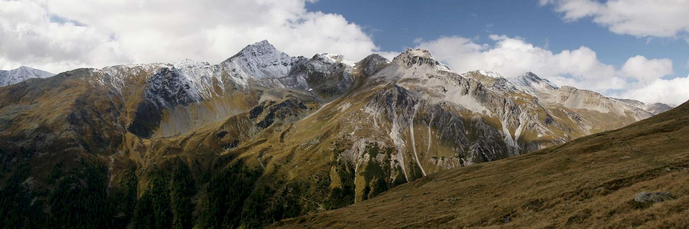
 Furkelsee and Föllakopf Furkelsee and Föllakopf |
The route via the Sesvenna Hut and the Sesvenna Lake can be started from two trailheads. The most logical one is the hamlet of Schlinig / Slingia, which is located at roughly 1700m. The second trailhead is the Watles / Monte Vatles chair lift, the top station of which is located at 2150m. It might feel like cheating but the route from the second trailhead is the more beautiful one. You can also combine both variations into a loop. Be sure to return early. Otherwise you can't make use of the hikers' shuttle, in which case you will have to return by road (6km / 1+h).
Both variations are mere hikes up to the Sesvenna hut. From there a sometimes very steep path tales you to the Sesvenna lake, from where it turns back into a hike to Fuorcla Sesvenna and Schadler. The route is long and if you start from Schlinig / Slingia, you'll have to cover 1400m elevation gain.
The route from Schlinig is part of the winter ski route ascent of Piz Sesvenna.
Getting There
The main page already describes the itineraries to Schlinig / Slingia and to the Watles / Monte Vatles chair lift.Route Description
- Start altitude: 1738m (Schlinig) / 2150m (Watles lift)- Summit altitude: 2948m
- Prevailing exposure: S
- Type: Hike
- Protection: None
Variation 1: From Schlinig / Slingia
After leaving your car at the entry to Schlinig / Slingia, cross the hamlet and hike out the broad valley. For the first 2km there are two routes, both roads, one on each side of the Schlinig Creek. They recombine a couple of hundred metres before reaching Schliniger Alm / Alp Planbell. A few hundred metres onward you reach Innere Alm / Malga di Dentro, from where the materials lift to Sesvenna hut starts.
After the Alm the road tirns into a very potholed dirt road, which heads up the Planbell Valley towards the big Schwarzwand / Croda Nera Waterfall. A couple of switchback to the right hand side of the waterfall take you to the Margon Plain at its top, from where you see the Pforzheimer Hut (out of operation), from where a couple of hundred metres along the hut lakes' shores take you to Sesvenna Hut.
 Föllakopf Föllakopf |  Schwarzwand Waterfall Schwarzwand Waterfall |  Sesvenna Hut Sesvenna Hut |
Variation 2: From the Watles Lift
There is a direct route along the slopes of Schlinigtal / Valle di Slingia (just follow the signs to Sesvenna Hut) but if time allows, I would recommend the following itinerary:
From the lift, follow the signs, which lead across a ski run to the Watles summit. The route to the Sesvenna Hut doesn't touch the summit but runs close by so you definitely should climb the remaining fifty metres to the top to take in the vista. Return back to the top of the Watles ski lift (2500m) and descend westwards into the saddle which marks the top of Oberdorfer Tal. From the saddle a trail heads up to Vernungspitze on its other side but rather follow the signs to Sesvenna Hut.
They lead to a trail, which runs along high on the northern slopes of Schlinigtal / Valle di Slingia (coming directly from the Watles lift (see above). It stays at the same elevation, following the dents and bumps in the terrain until it reaches a outlook point above the two huts. From the outlook the path heads down to Pforzheimer Hut (out of operation) and further onwards to Sesvenna Hut.
  |
Sesvenna Hut - Fuorcla Sesvenna
From the hut follow a marked trail in south-westerly direction. It climbs a steep valley, at the end of which you can already see the saddle. The trail heads up in switchbacks and after a while you reach an intersection, where a second path turns off for Sesvenna Lake and the mountain above it, Föllakopf. If time allows head for the lake - you can always return to the main path from there. If time is pressing stay on the main path and head directly for Fuorcla Sesvenna.
In the saddle a sign points to Scharler (another name for Schadler), Piz Christanas and Piz Rims. Follow the tracks onto the Schadler south slopes from where a more or less traill-less scramble leads you to the top.