
Comments
No comments posted yet.
|
|
Trip Report |
|---|---|
|
|
33.37429°N / 105.8088°W |
|
|
Download GPX » View Route on Map |
|
|
May 3, 2022 |
|
|
Hiking, Mountaineering |
|
|
Spring |
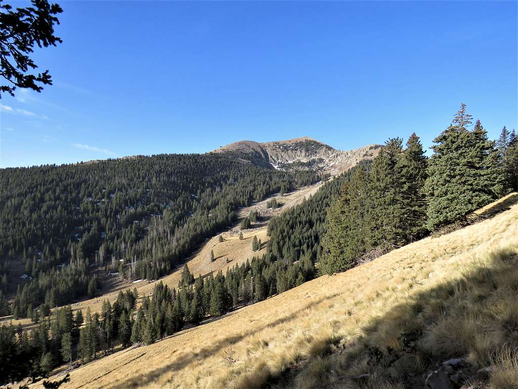
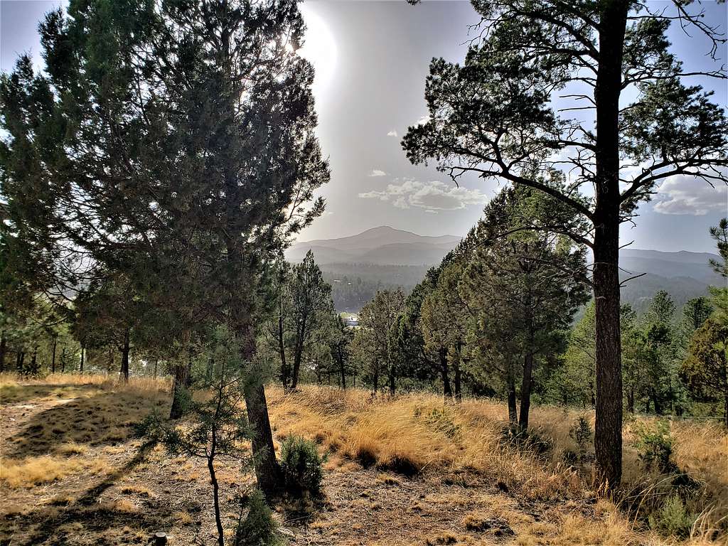
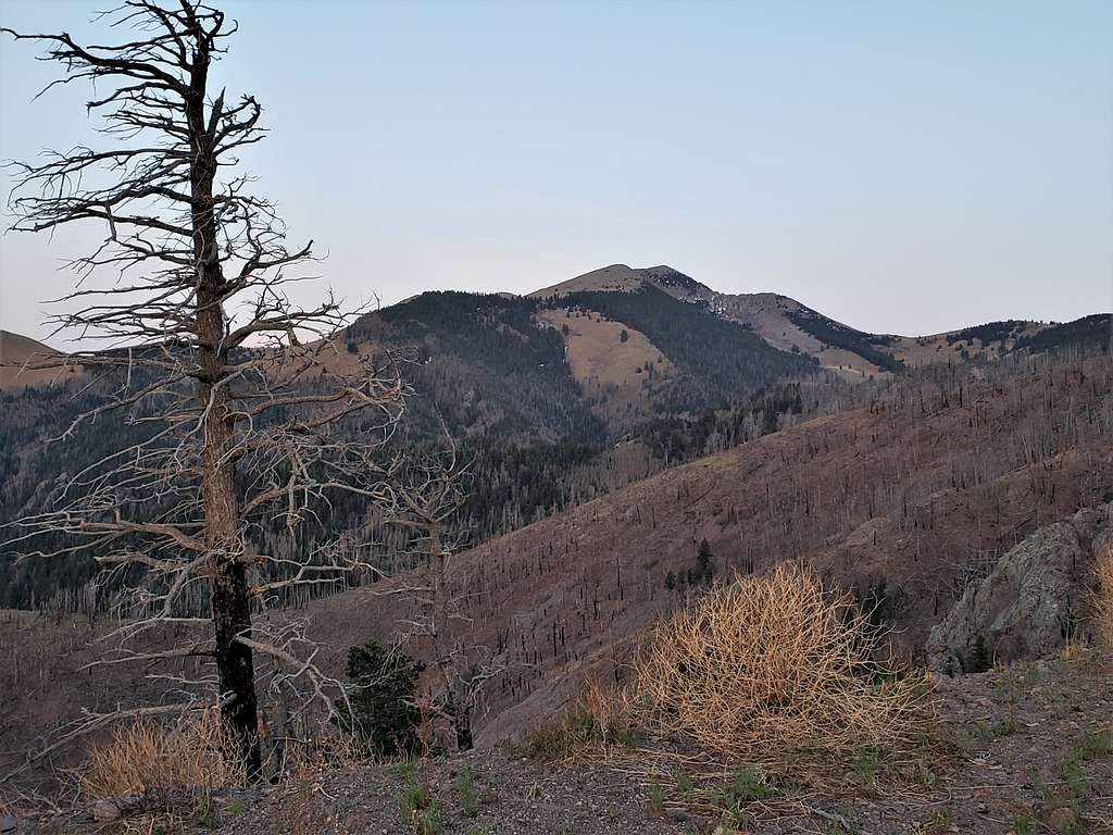
With a prominence of 5543 ft, the 11973 ft Sierra Blanca is New Mexico’s most prominent peak. It is also known as the southern-most high peak in mainland United States. The western slopes of Sierra Blanca rise 7500 ft above the desert plains of southern New Mexico. To the east, Sierra Blanca looms high above the town of Ruidoso. For a week in May 2022, I had the pleasure of staying at a vacation rental house in Ruidoso where I had fantastic views of Sierra Blanca.
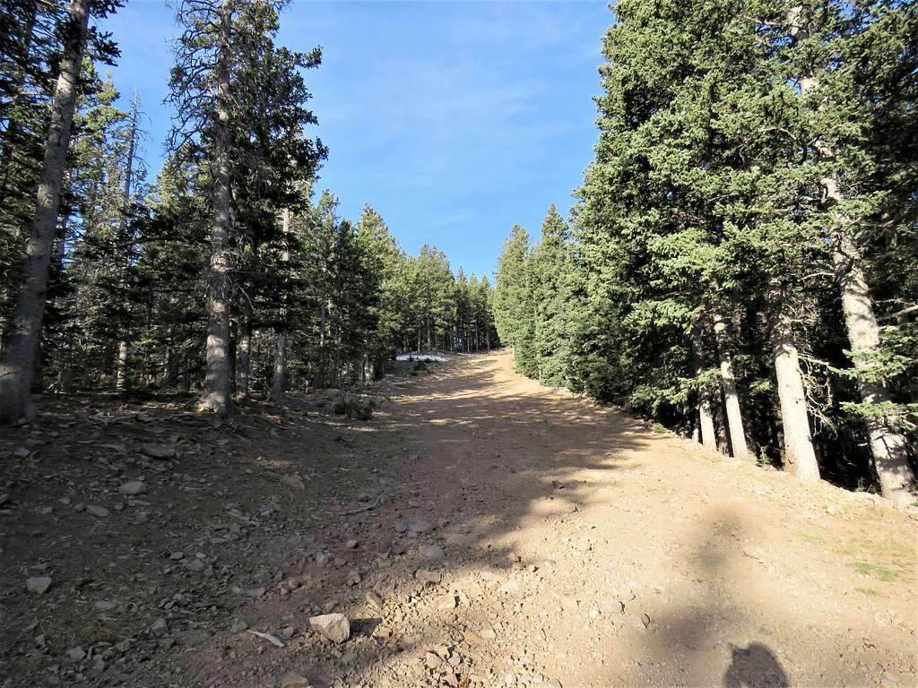
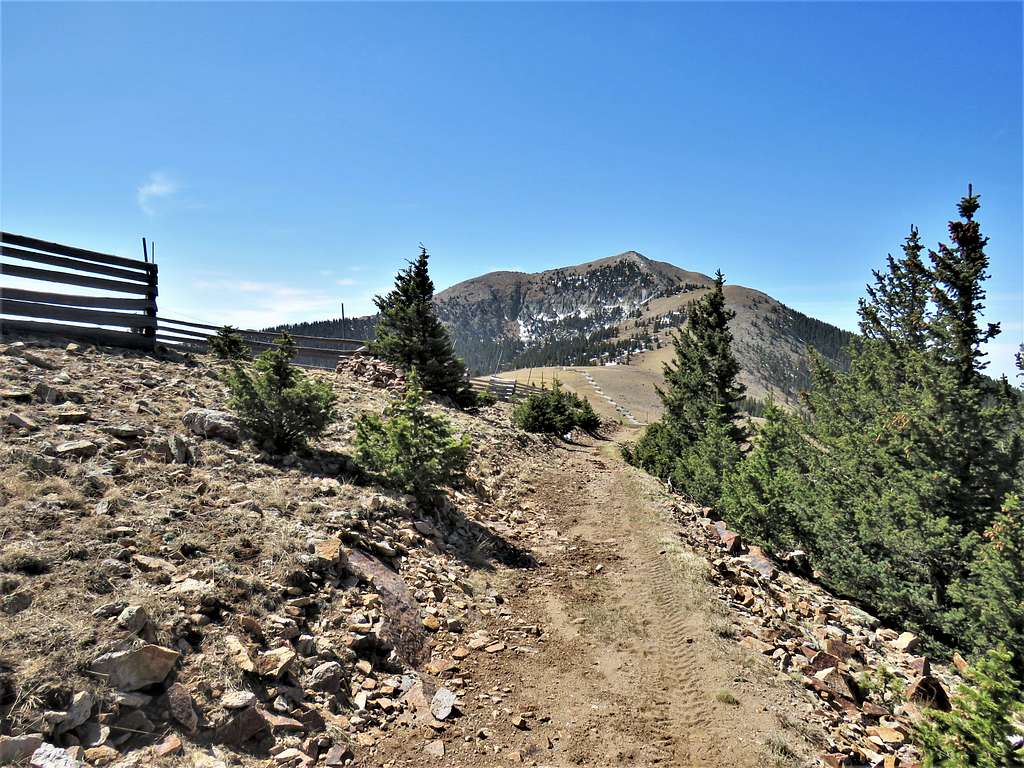
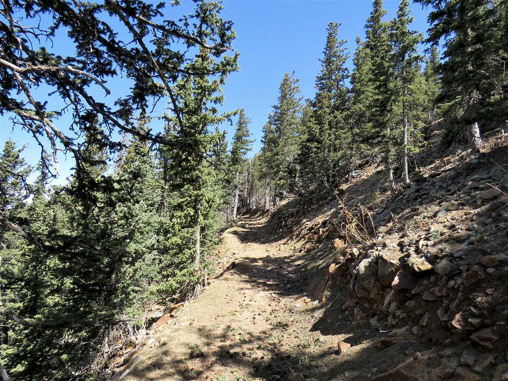
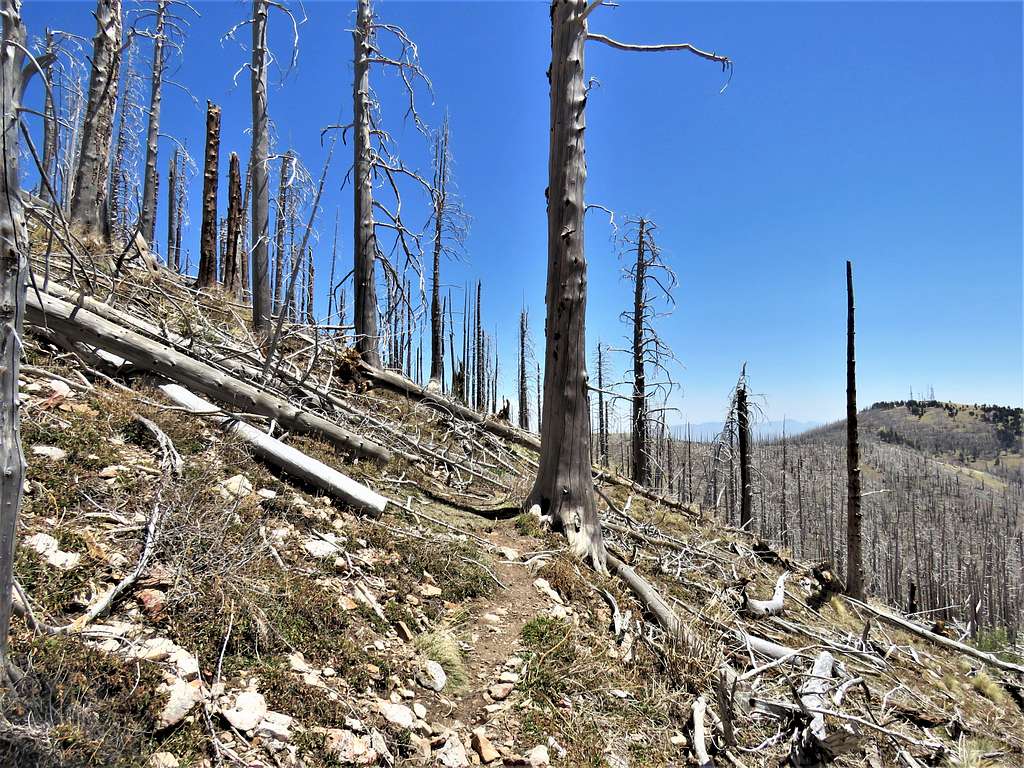
The summit of Sierra Blanca lies within the boundaries of Apache Mescalero Tribal Lands and reaching it, theoretically, requires obtaining permission from the tribal authorities. On the internet, I had read accounts of people saying that they had been turned back on the mountain, but I did not encounter any difficulties. The usual trail to the top of Sierra Blanca first takes you to the summit of Lookout Mountain and then 400 vertical feet down to a saddle at the base of Sierra Blanca before the final push to the very top. To avoid this and other ups and downs on the usual path, I looked at satellite photos and Google Earth and came up with a path that took me up the slopes of Ski Apache Resort to reach the base of the summit of Sierra Blanca. I obtained verbal permission to do my hike from a person working at the resort. For the return trip, I used the usual trail. The beginnings of the trail went through a forest that had been devastated by the 2012 Little Bear Wildfire. Fallen trees created numerous obstacles that slowed me down a lot.
Hike Length: 7.8 miles
Trailhead Elevation: 9810 ft
Summit of Sierra Blanca: 11973 ft
Ascent: 2.85 miles, 2:30 hours via my chosen path
Descent: 4.95 miles, 3:10 hours via the usual trail
Total Ascent: 2750 ft
May 3, 2022
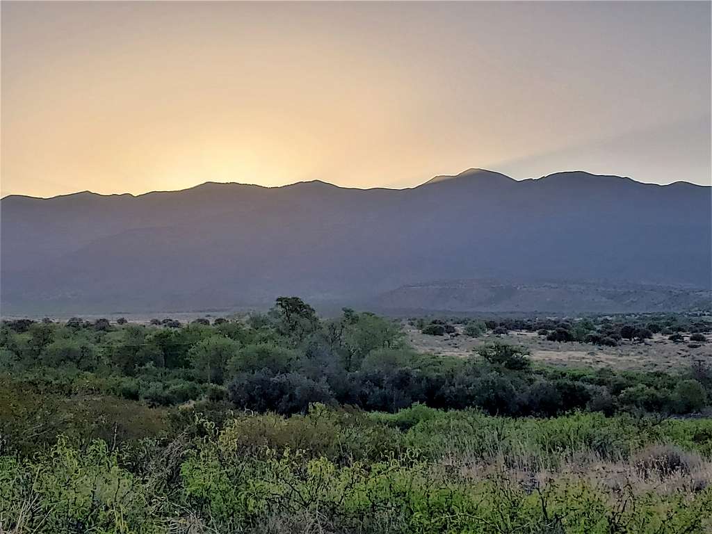
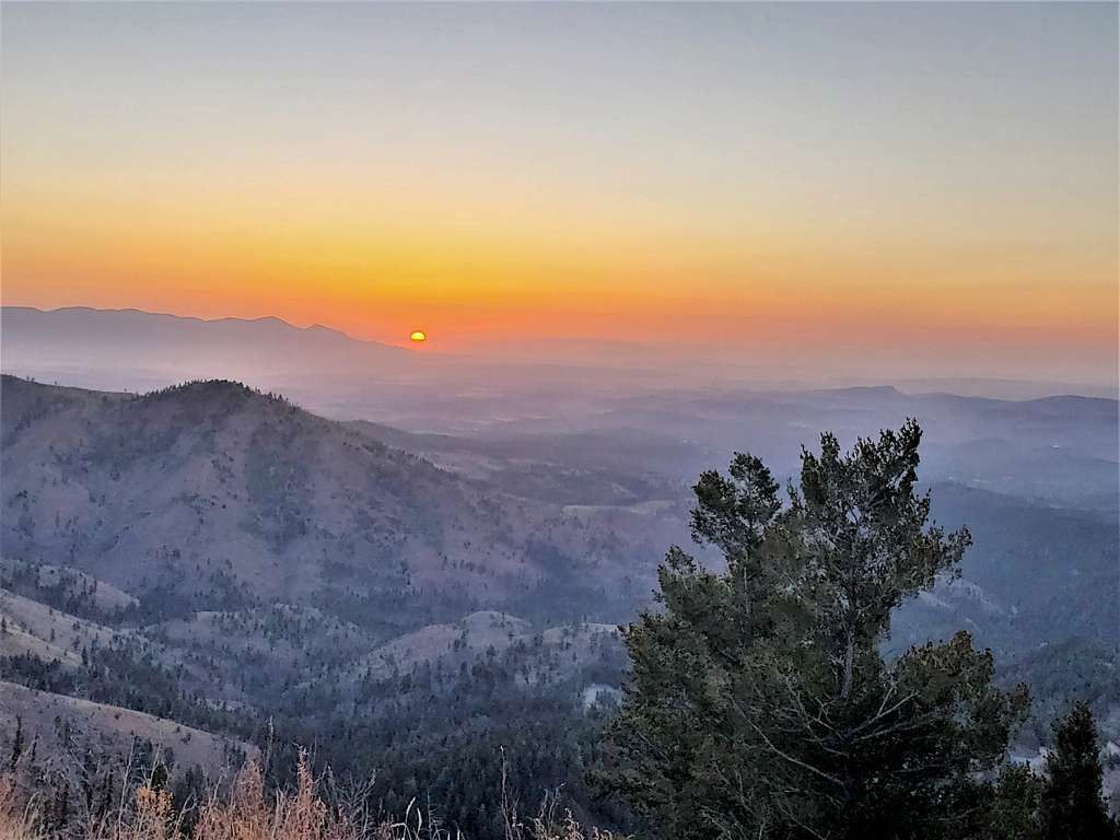
Left the vacation rental house in Ruidoso, New Mexico at 5:40 AM when it was 34 degrees F. Drove Ski Apache Road (Route 532) through a forest of burnt trees way up in the mountains. At a turn, I stopped to take a picture of the rising sun. Capitan Mountains were seen in the horizon.
View of Sierra Blanca.
Continued the road until after a hairpin, just before entering Ski Apache Area, I reached the designated parking area for Scenic/Crest Trail. Sierra Blanca was no longer visible. Temperature had risen to 46 degrees F, but it was windy making me feel cold. Started my hike at 6:30 AM.
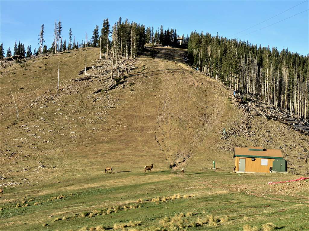
Went toward the ski area but was concerned that going up the ski slopes would probably be considered trespassing. I was about to turn back and go to the trail when what looked like an official Ski Apache vehicle came and a lady opened the gate. I asked the lady if it was ok to hike up the slopes and she said no problem.
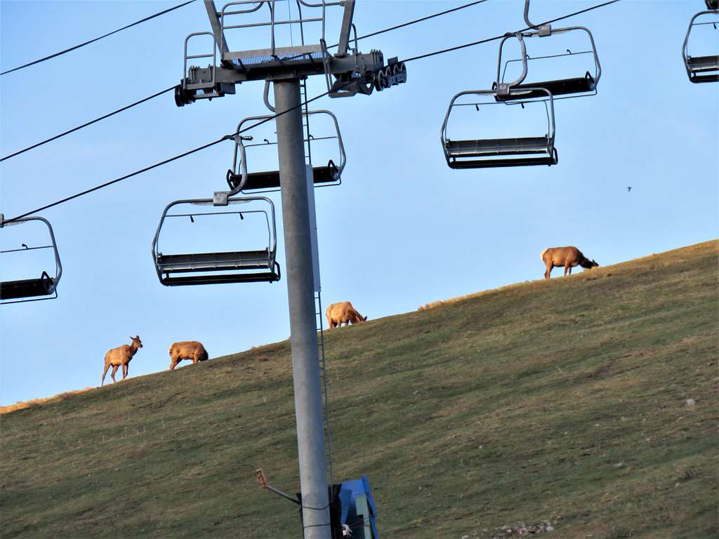
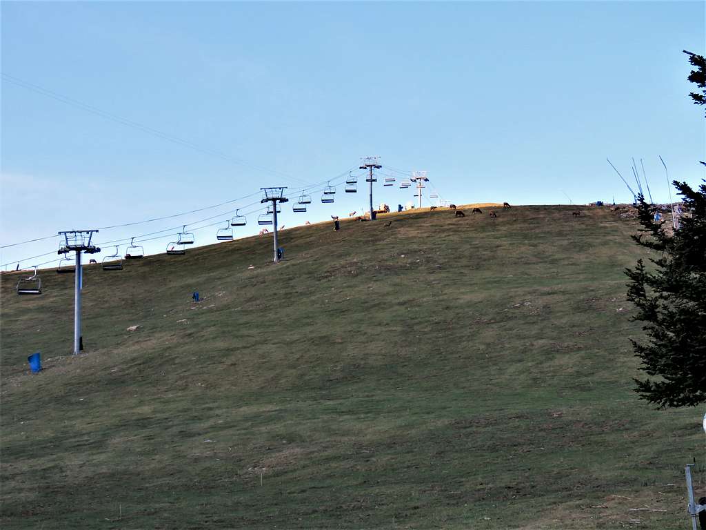
Got under my chosen ski lift and began to hike up the steep grassy slope. It soon became sunny, but the wind was bothersome. I did not want to put on my jacket thinking that I would get sweaty toiling up the steep slope under the sun. A herd of deer (or whatever they were) was visible on top of the slope.
In 0.6 miles, I was at a flat area getting ready to tackle the next steep slope.
Continued up the next slope which went among the trees causing the wind to calm down. At 7:08 AM, 0.96 miles and 10590 ft, I reached the top of the lift. Found a trail on the left (south) side that took me into a pine forest. I noted that the trail was different than the path that I had entered into my GPS so I left trail and went through the pine forest until I reached the steep dirt road that I had seen on the satellite photos.
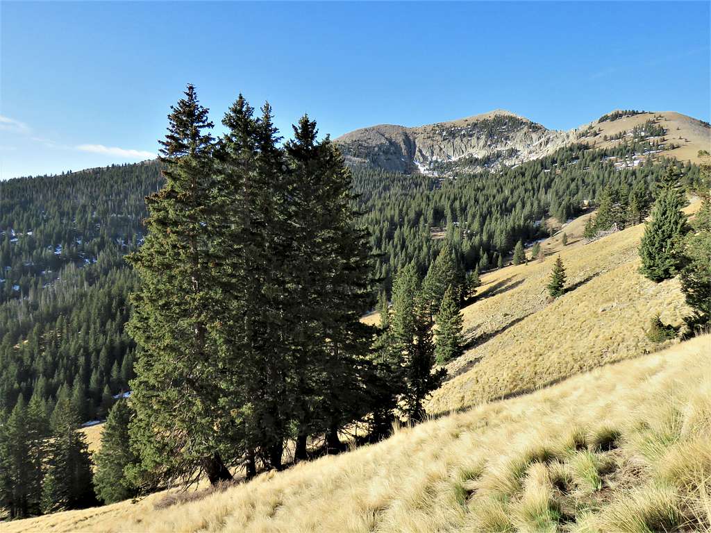
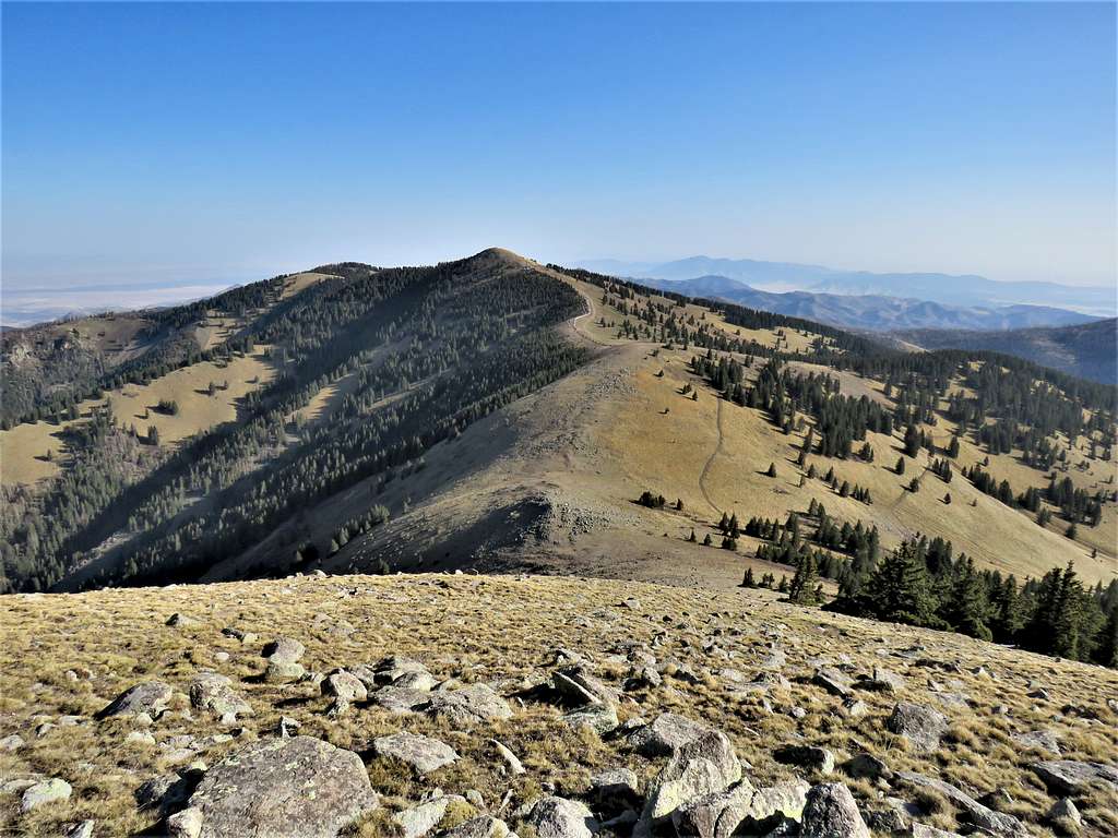
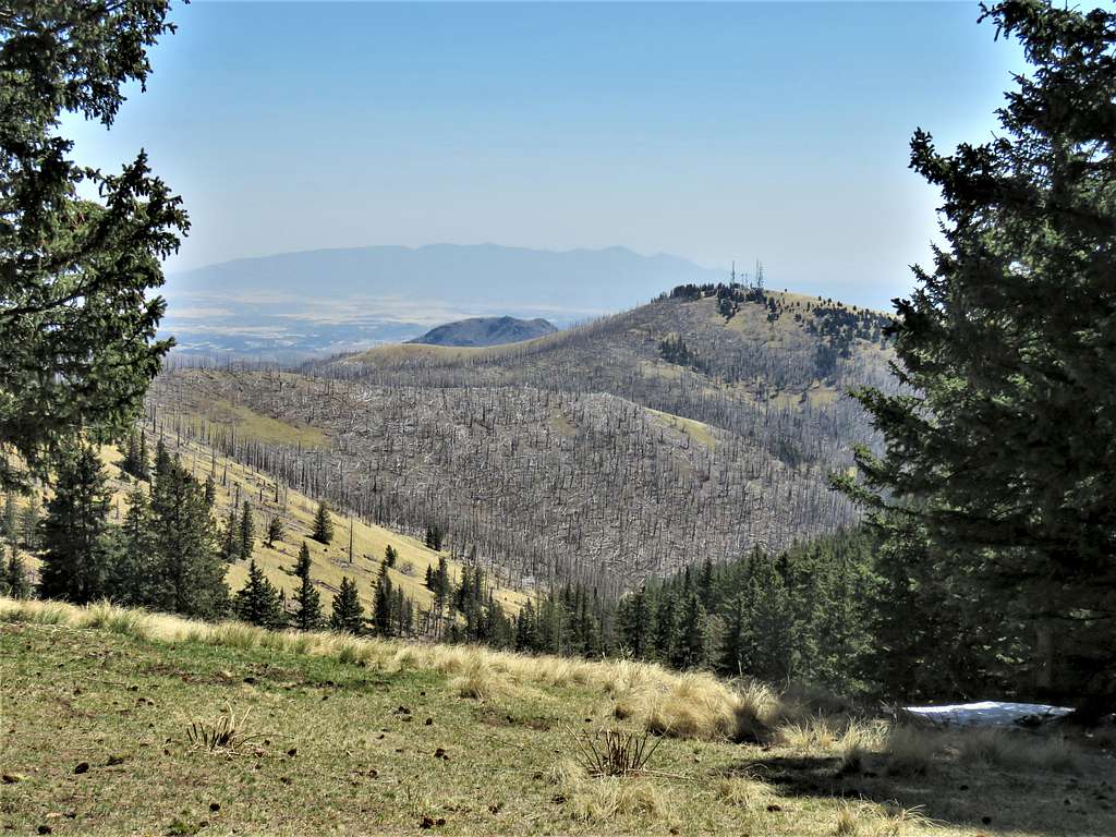
Followed the road a short distance and I was soon at the spot where I had to leave the road. Entered the forest and followed the path in my GPS until I was back on a trail/ATV/Snowmobile path which was probably the continuation of the tail that I had been on before. The trail went onto a beautiful grassy slope where the north face of Sierra Blanca came to view.
Looking east.
Left the trail and went up the grassy slopes toward the 11170 ft saddle at the base of the summit of Sierra Blanca. Just below the saddle, at 2.20 miles and 8:06 AM, I stopped to put on my jacket.
Once I reached the saddle, a fierce cold wind began to blow. Headed south going up a steep grassy slope. View north toward Lookout Mountain, partly up the slope.
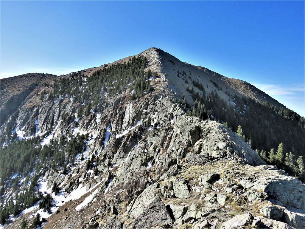
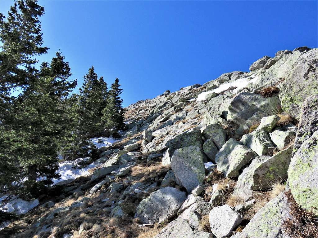
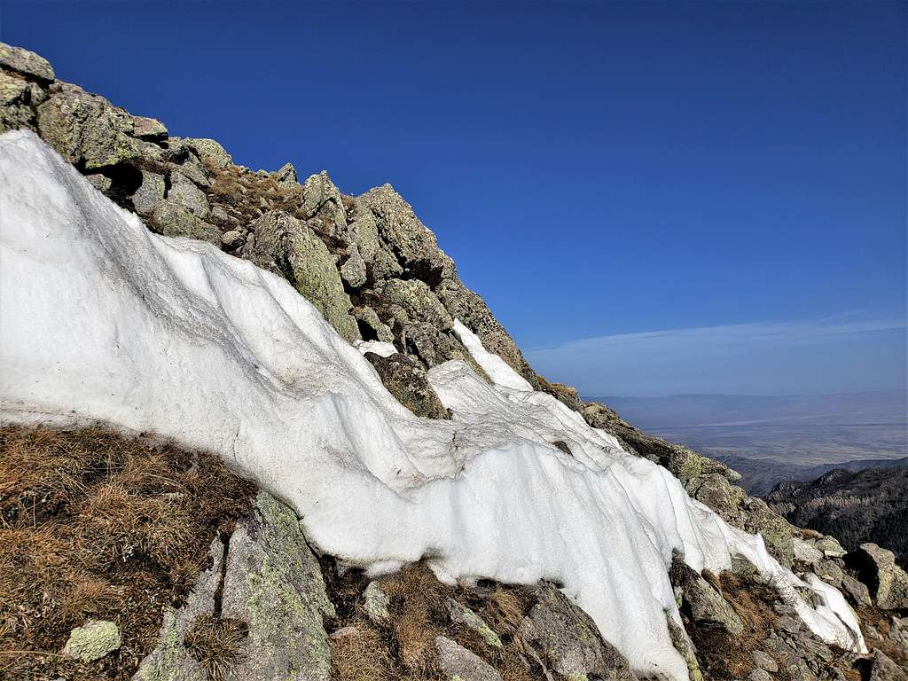
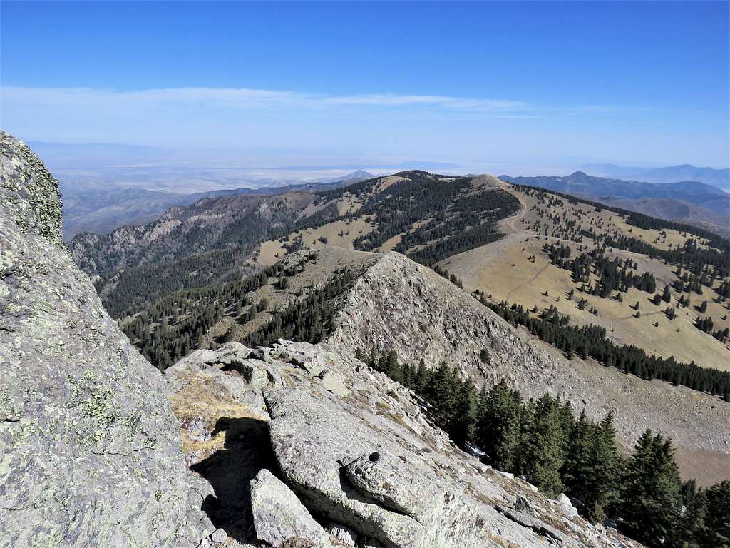
I had read that the last 300 vertical feet below the summit were rocky. Was wondering if I would run into difficulties. Once I was up to 11650 ft or so, the rocky ridgeline came to view. Did not seem too bad but I knew that at any moment, an unexpected obstacle could pop up.
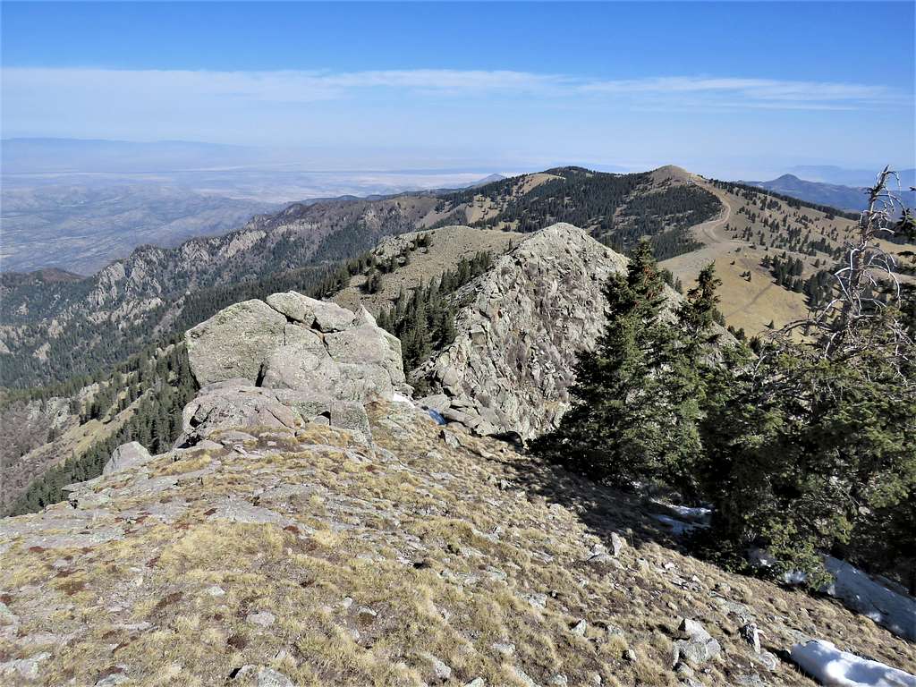
Veered west and continued south just below the ridgetop avoiding the difficulties. A look back north.
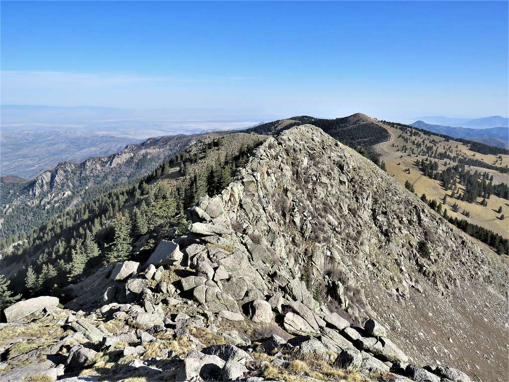
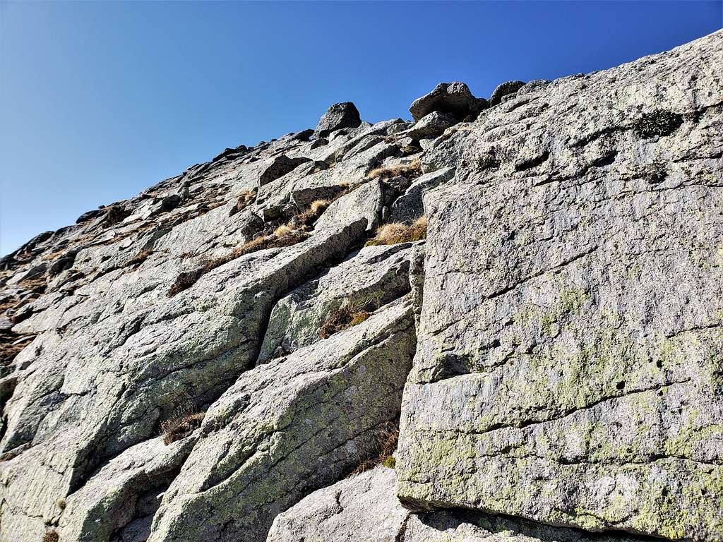
Continued up the rocky ridgeline. Fortunately, I was able to find easy bypasses around all obstacles.
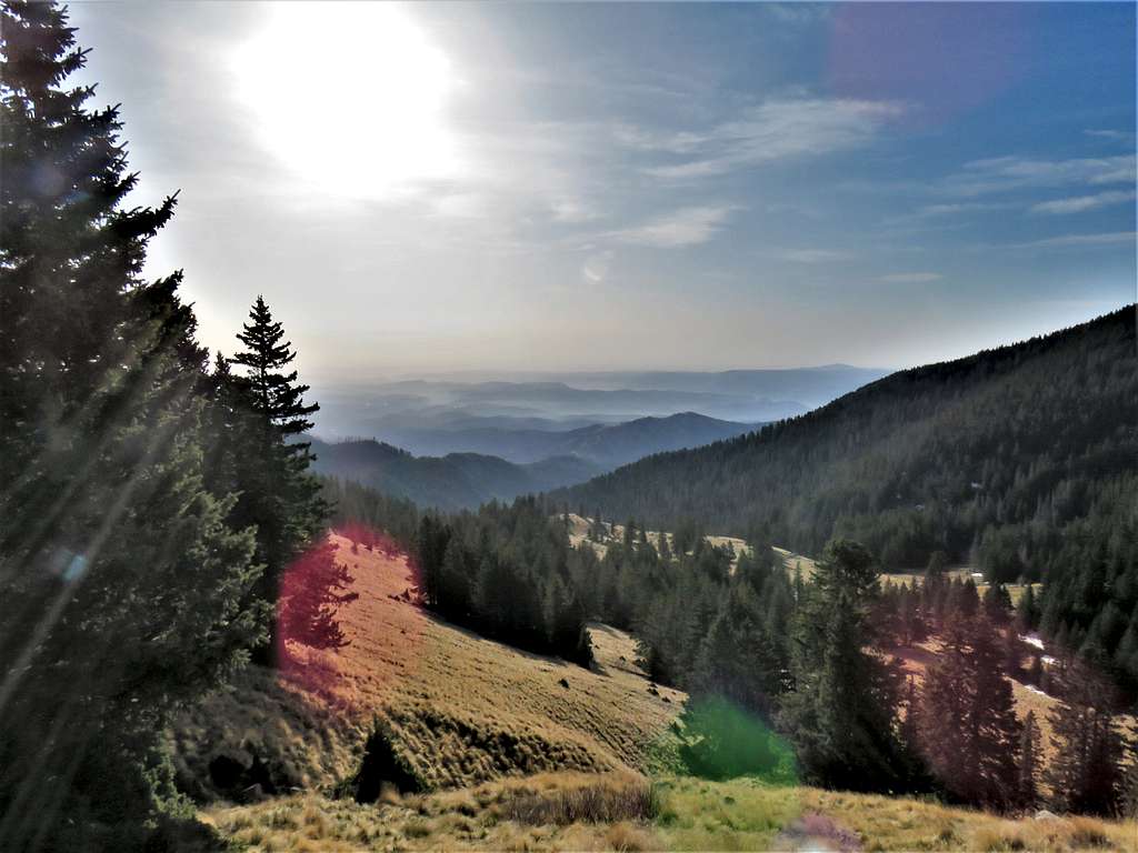
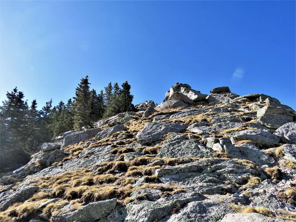
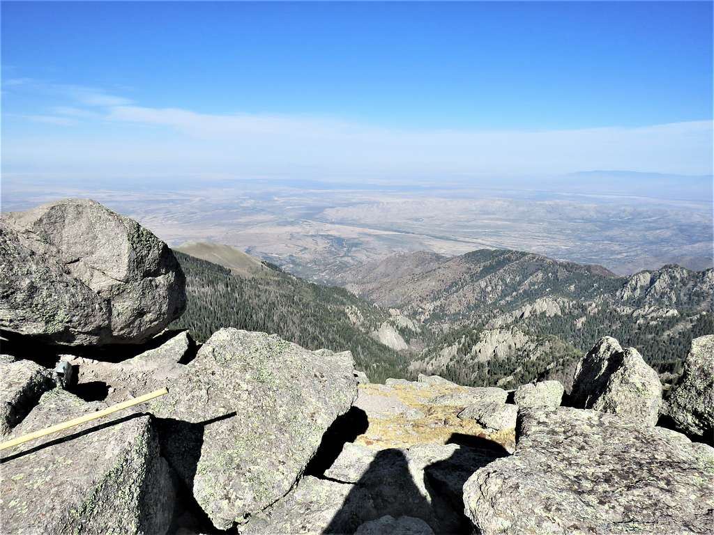
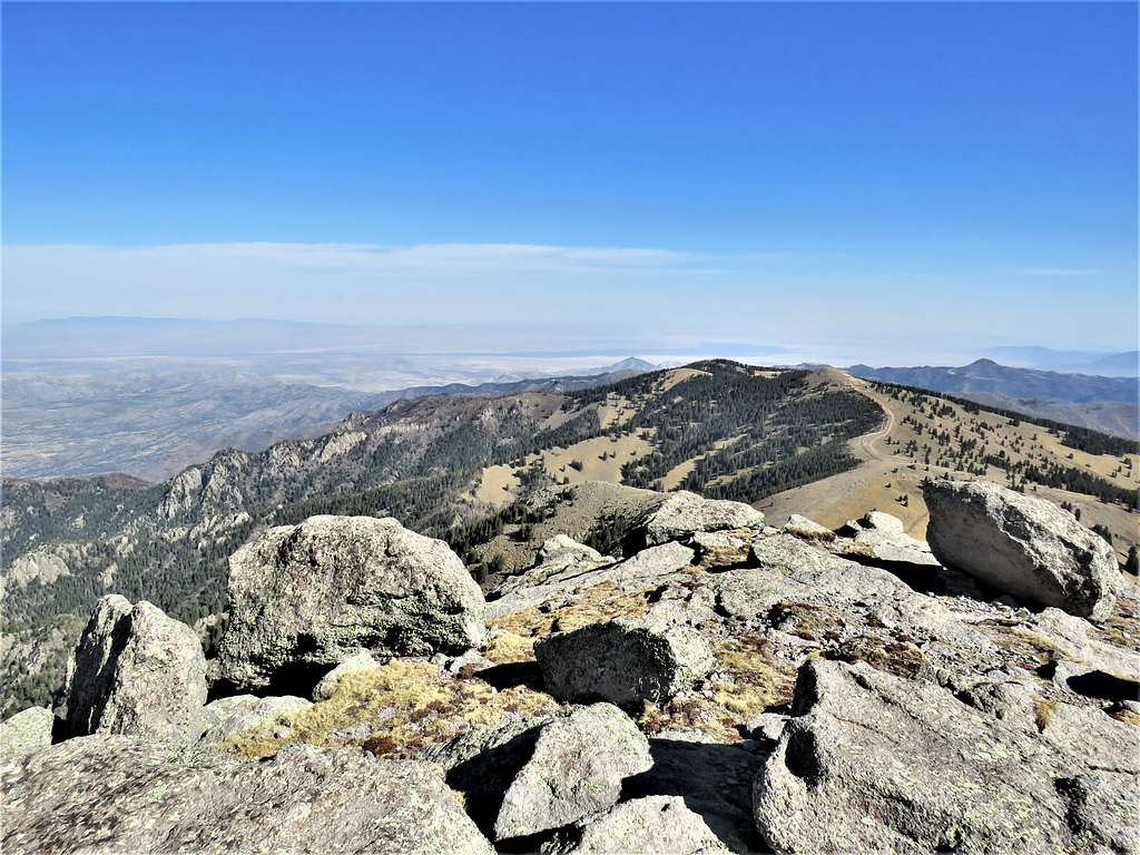
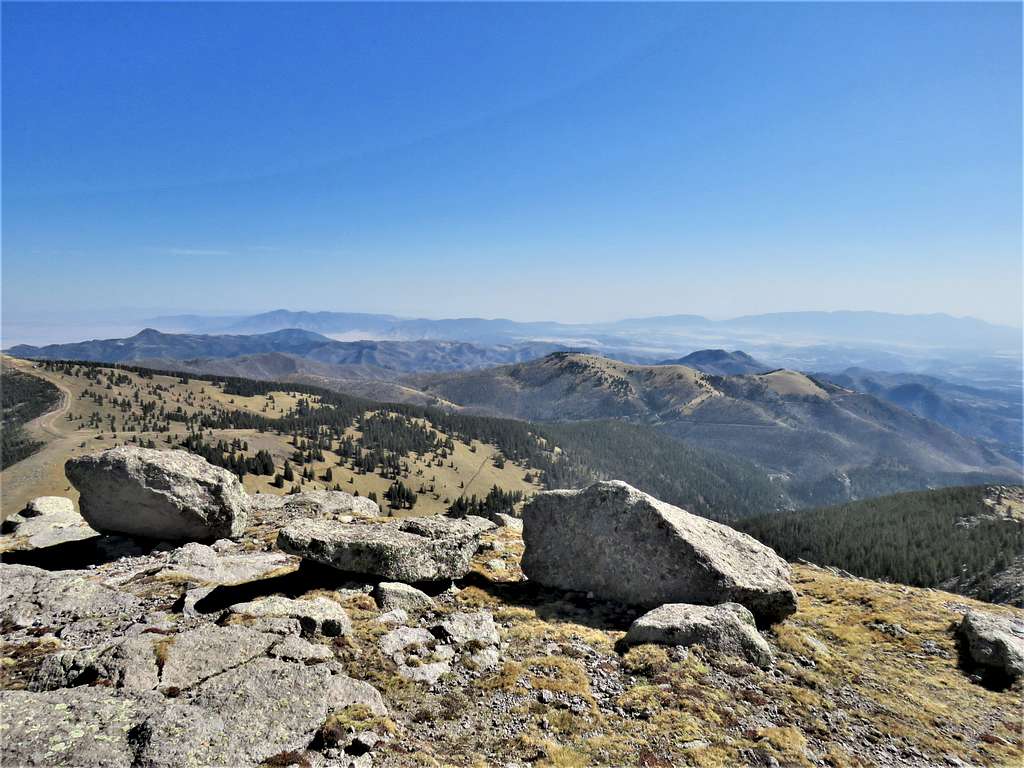
Was on the summit at 9:01 AM and 2.83 miles. Views from the summit.
Looking west.
Looking north, Lookout Mountain and Nogal Peak as well as the black lava of the Valley of Fires seen.
Looking northeast. Nogal Peak, Carrizo Mountain, Buck Mountain, Monjeau Peak, Capitan Mountains etc.
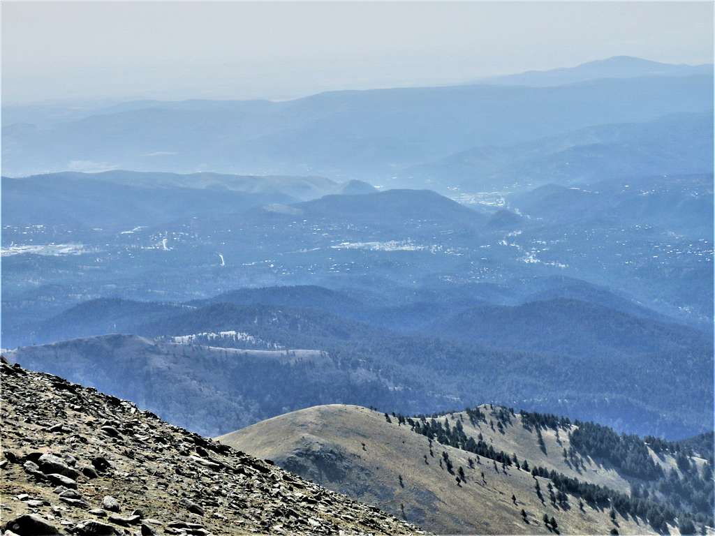
Town of Ruidoso to the southeast. Zoomed view.
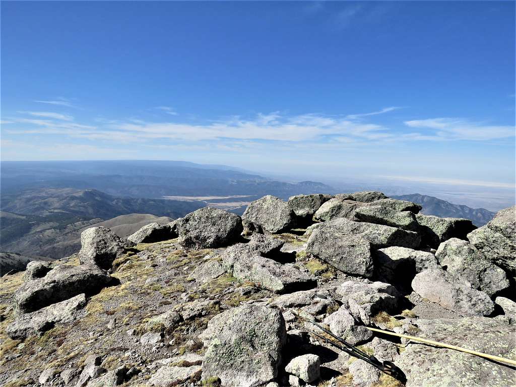
Looking south. Black Mountain and White Sands National Park.
Crawled behind a rock to shield myself from the wind and warm up under the sun. Had my sandwich and left at 9:30 AM going back down the north ridge.
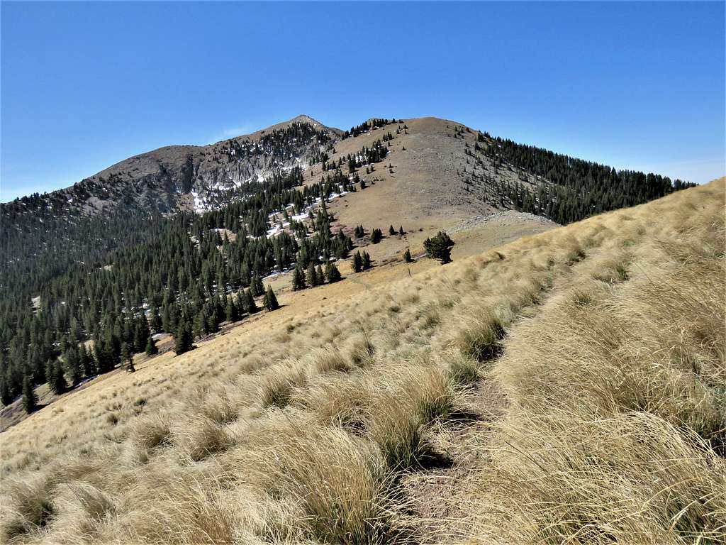
At 10:08 AM and 3.47 miles, I was back at the 11170 ft saddle. Was tempted to go back down the same way that I had come up from but did not want to be seen on the ski slopes and was curious to see the usual trail, so I continued north going up a grassy slope.
I really did not want to hike 400 vertical feet to the top of the 11580 ft Lookout Mountain. On the map, I had seen a path that seemed to bypass Lookout Mountain to the west of it. As I reached the fence marking the boundary of the ski area, I went to the west of it.
The path took me into a pine forest and slowly went up all the way to 11400 ft, would have probably been worth it to go to the top of Lookout Mountain anyway.
Came out of the forest finding myself on top of the “Top of the World” ski lift. There was a “no hiking” sign at the entrance to the path that I had come from (no such sign had been on the other side of it where I had got onto the path). I could not see a trail, just went down the beautiful grassy ski runs among the pine trees.
Buck Mountain, Monjeau Peak and the distant Capitan Mountains.
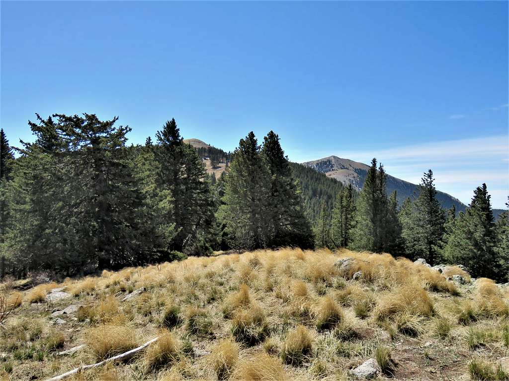
A look back at Lookout Mountain and Sierra Blanca.
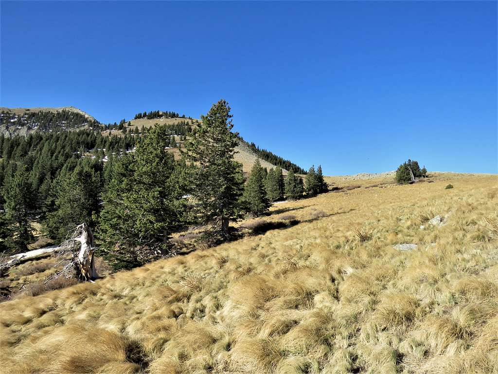
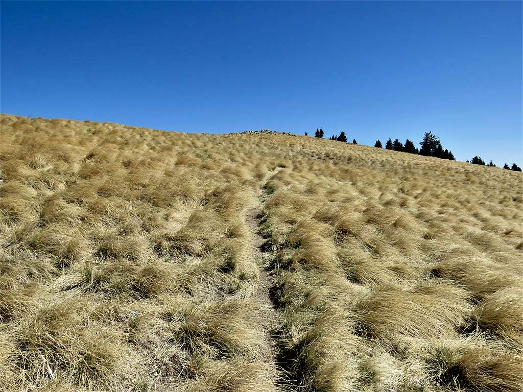
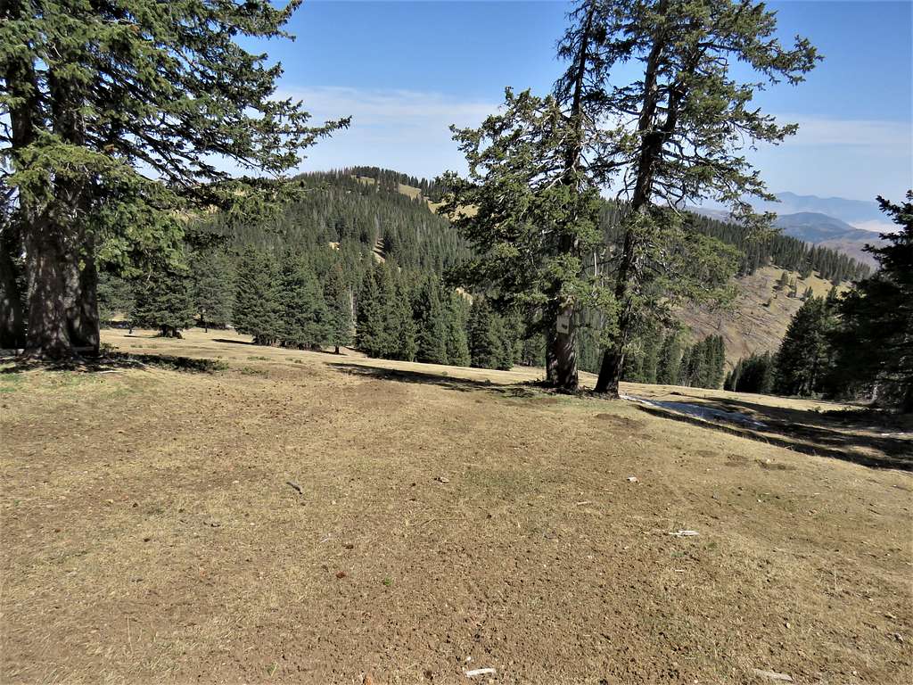
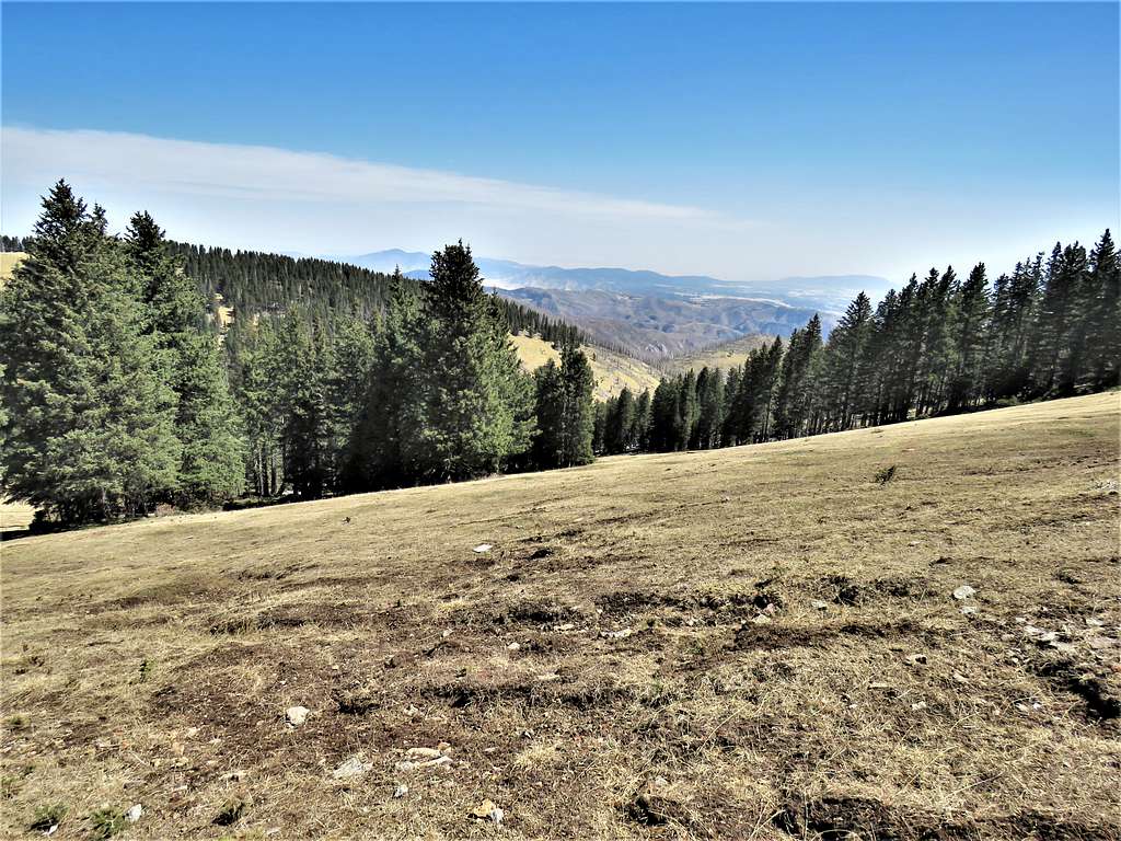
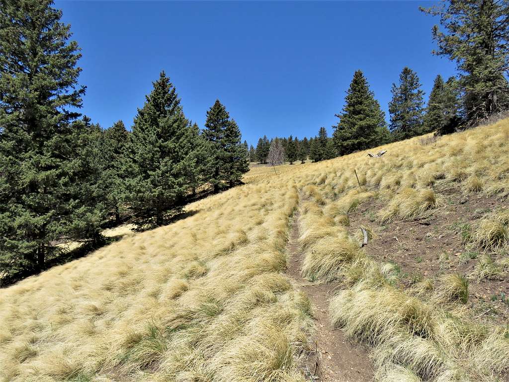
Reached a sign for Crest Trail, went north, up 150 vertical feet to a 11280 ft high point. Shortly after that, reached another signed junction at 5.25 miles and 11:10 AM. After a quick rest, turned east and began to go down Crest Trail. Loved that high elevation grass and pine tree environment. The wind no longer felt cold and was actually pleasant.
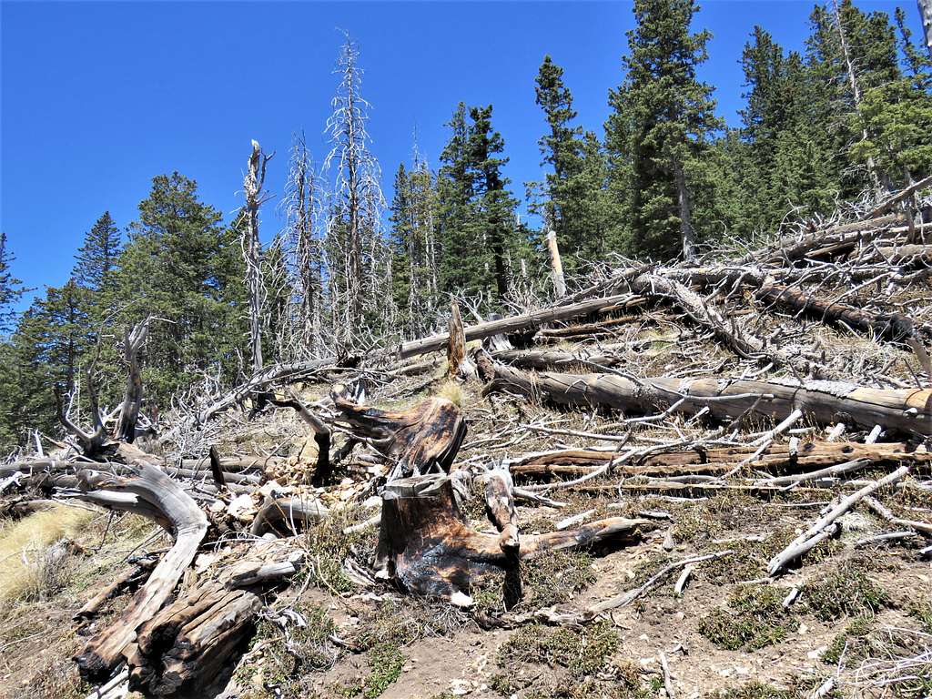
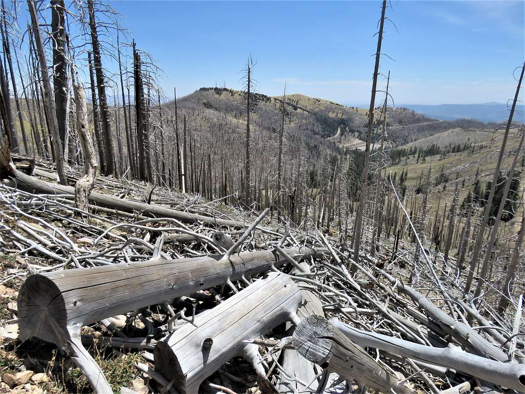
As I went lower, reached areas of burnt forest. At first, there were few fallen trees blocking the trail.
But then the fallen trees became a big problem. Going over them became very time consuming and I had to be careful to not scratch myself or get impaled. The trail was no longer visible. The path in my GPS showed that the trail made switchbacks there, but I figured that I just needed to find the path of least resistance down the slope.
After a really bad section, the trail appeared again. I was unhappy about taking longer to descend than to go up the mountain. The fact that the trail was again going uphill a little, added to my frustration. Finally reached my Jeep at 12:41 PM.