
Comments
No comments posted yet.
|
|
Trip Report |
|---|---|
|
|
35.84790°N / 121.359°W |
|
|
May 13, 2019 |
|
|
Mountaineering |
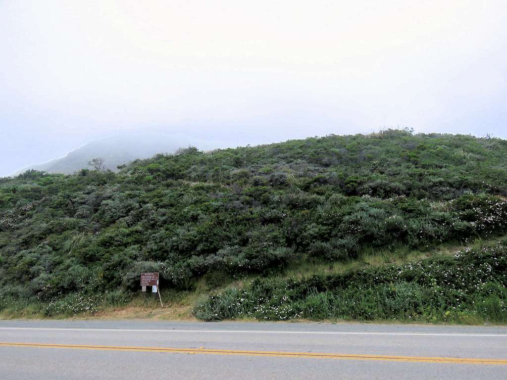
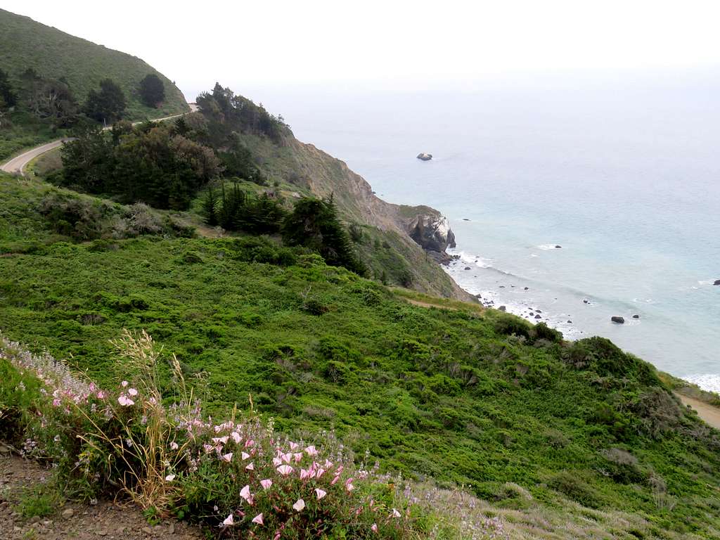
The 3590 ft high Silver Peak rises directly out of the Pacific Ocean in the coastal mountains of California north of the community of San Simeon. The summit of the peak is only 2.25 miles away from the shoreline. Online mapping site “Caltopo.com” had shown a trail that branched off of Buckeye Trail and climbed the western ridgeline of Silver Peak to reach its summit. Satellite photos had not shown any convincing evidence of the existence of such a trail. Except for one area of vegetation, the satellite photos seemed to indicate that the rest of the ridgetop was clear enough to allow smooth hiking. It was hard to tell from the photos how much of an obstacle the vegetation would create. On the day of my hike, I was stopped by an impenetrable growth of bushes and shrubs at 2800 ft elevation on the ridgetop forcing me to abandon my hopes of reaching the summit.
Trailhead Elevation: 310 ft
Maximum Elevation Reached: 2850 ft
Hiking Distance: 8.52 miles
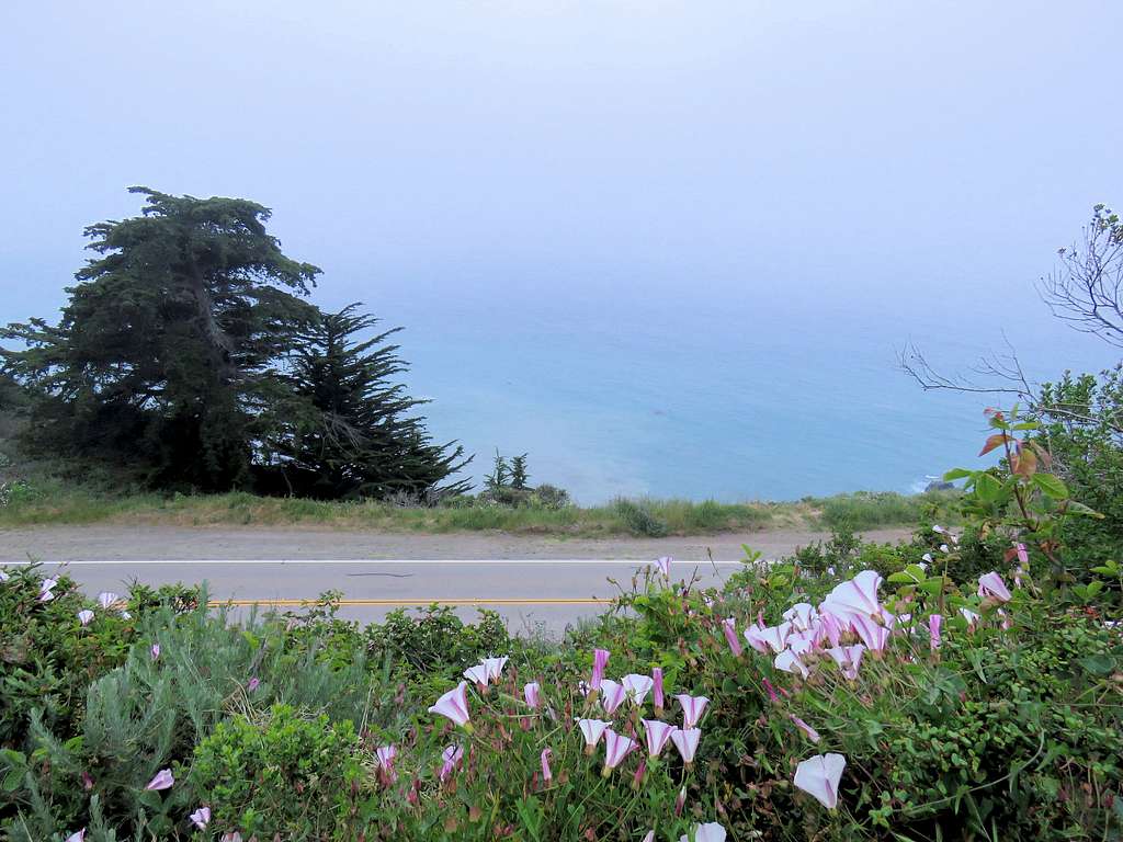
Kris and I left the vacation rental house in Cambria, California at 5:40 a.m. and drove 35 miles north on Route 1 to Cruickshank Trailhead. The slopes below the road dropped 310 vertical feet directly into the Pacific Ocean without creating a beach. As usual, morning fog covered the slopes. Started the hike at 6:40 a.m.
The trail made a series of switchbacks going up a steep slope covered by a dense growth of bushes.
In only 0.7 miles, we were up to 950 ft elevation going above the top of the coastal clouds.
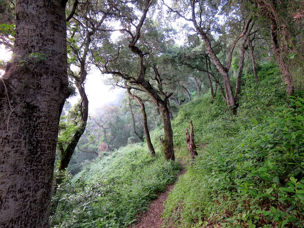
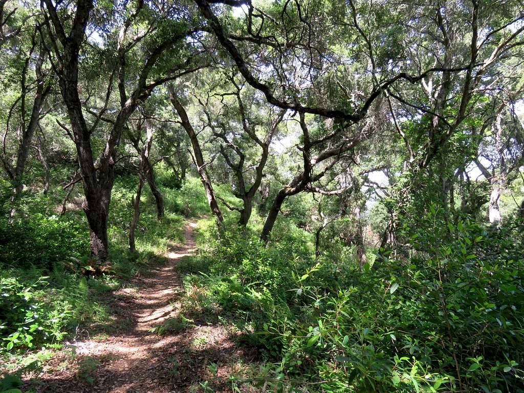
The trail then entered the canyon of Villa Creek traversing the southern slopes of it in a lush environment several hundred feet above the creek.
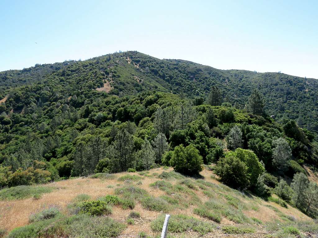
After 2.15 miles, at an elevation of 1400 ft, reached Upper Cruickshank Campground at the junction with Buckeye Trail. No one was there. We sat there for a few minutes, then got on Buckeye Trail going up the forest until at 3.3 miles and an elevation of 2280 ft, we were on top the western ridgeline of Silver Peak.
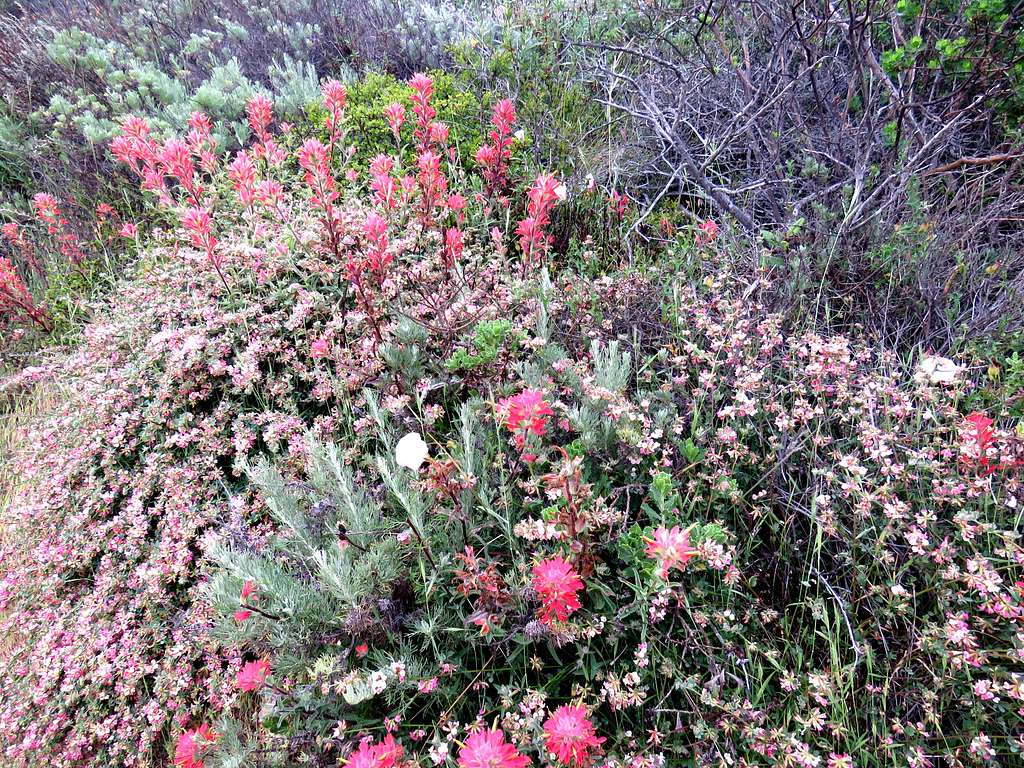
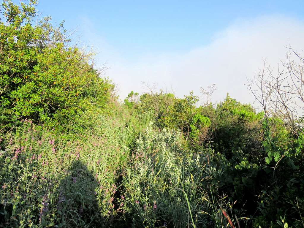
Buckeye Trail continued downhill from there to the south side of the ridgeline. I knew that I had to leave trail there and hike up the ridgetop but I saw no beaten path and there seemed to be bushwhacking from the beginning. Kris said he would go no more. I gave him the Walkie Talkie and we remained in touch every half hour after that. Bushwhacking through a short section, vegetation opened up and going seemed to be fairly straight forward. If I ran into bushes in any place, there always seemed to be an easy way around. I was worried about rattlesnakes in the bush but did not see any.
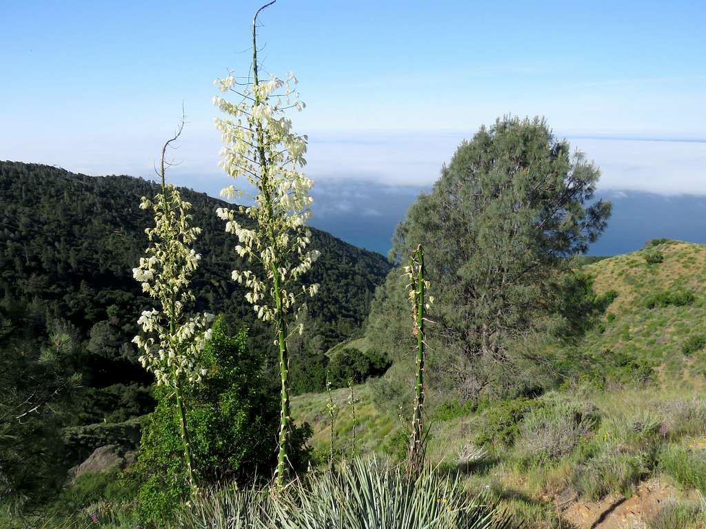
Looking up the ridgeline.
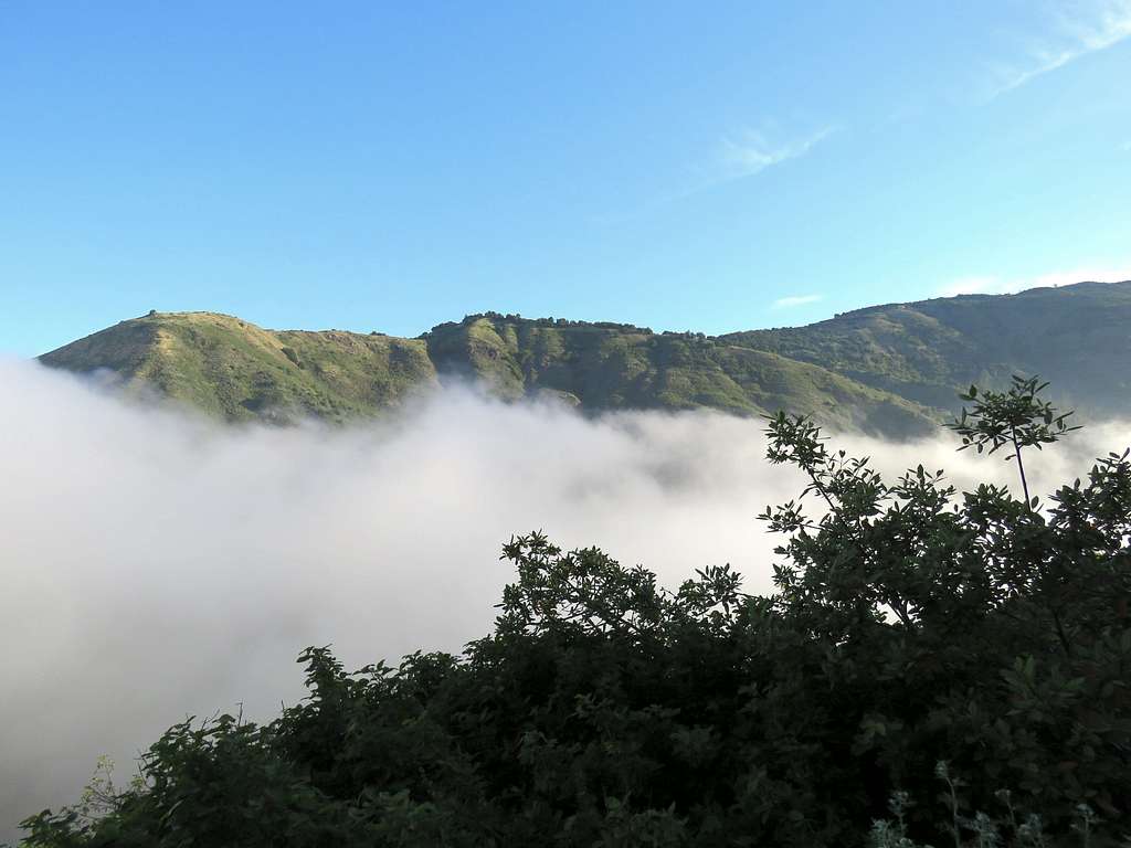
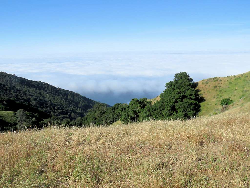
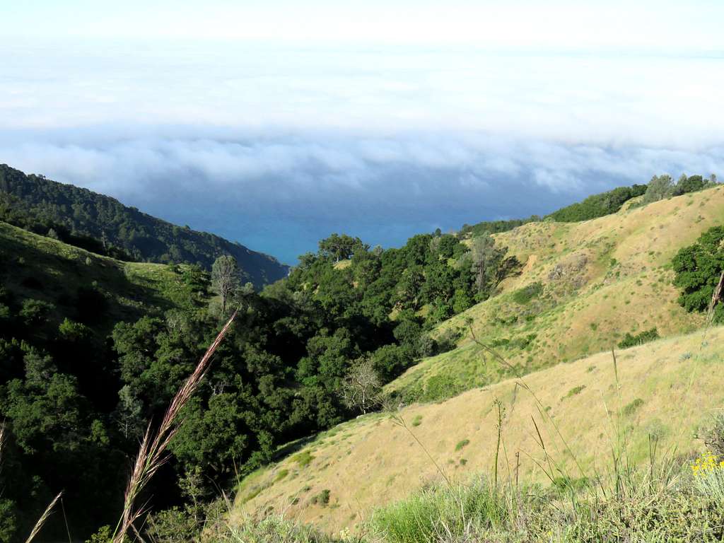
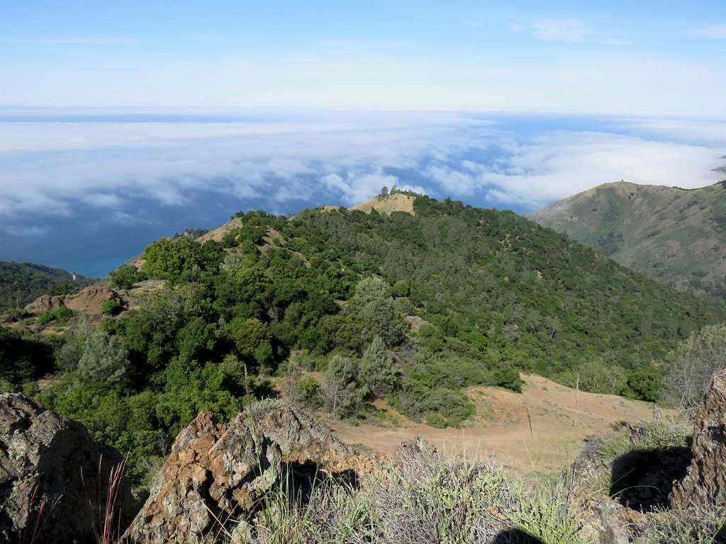
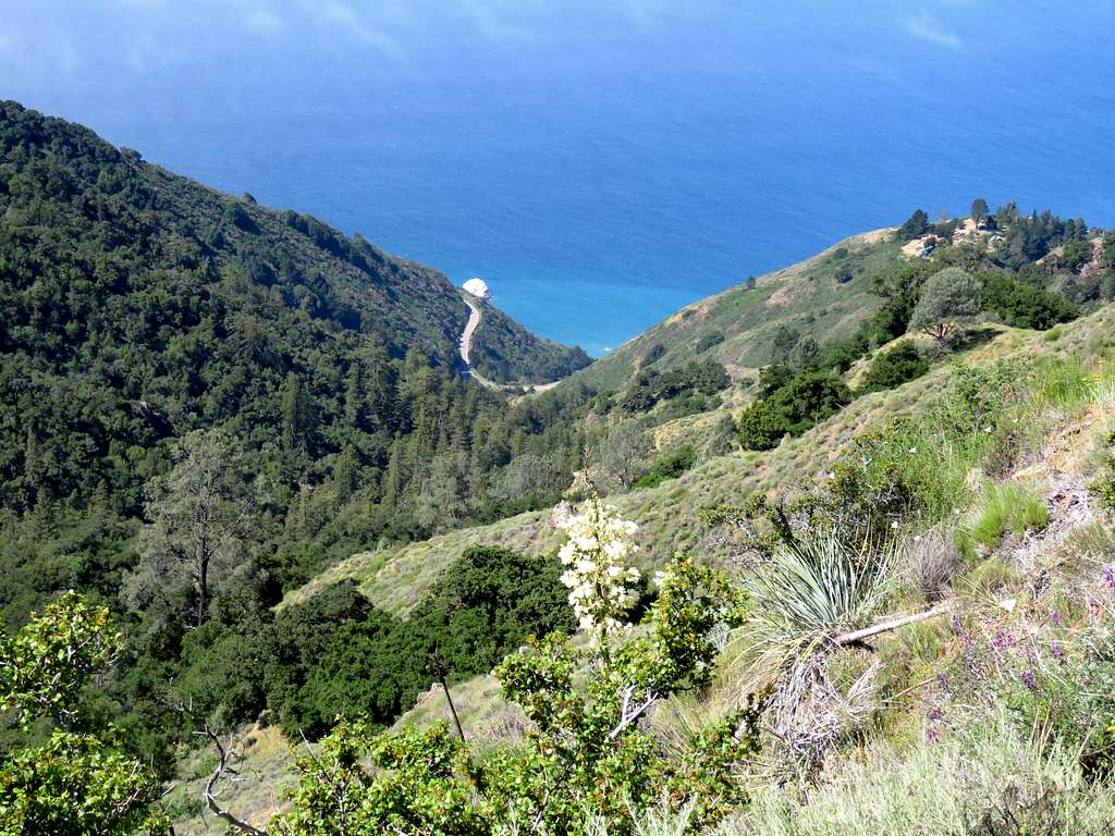
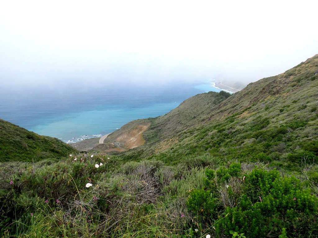
Clouds seemed to have partially lifted off the ocean providing spectacular views behind.
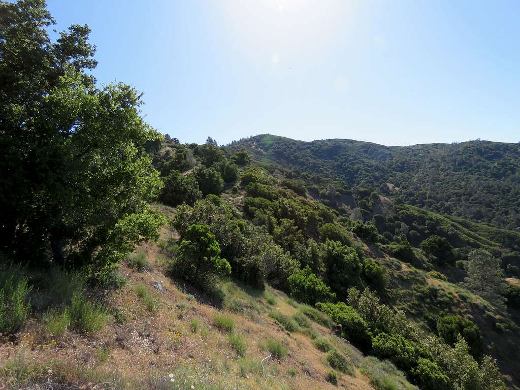
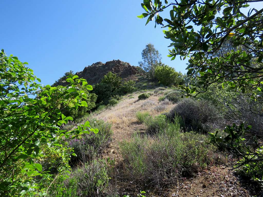
A rocky spot appeared in front of me on the crest of the ridgeline. This was Point 2850 ft.
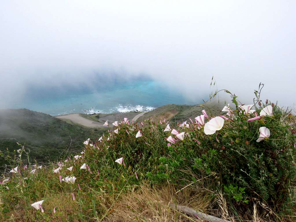
I was able to easily traverse the southern slopes of the rocky spot to reach a 2790 ft saddle behind it. That was where I suddenly ran into a truly impenetrable growth of bushes and trees. First tried to find a path on the south side of the ridgetop but there seemed to be none. I then went to the north side which of course turned out to be worse. Came back to the south side and descended close to 150 vertical feet but there just seemed to be no way through. After more that half an hour, I reluctantly gave up and went to the top of the 2850 ft rocky high point. That was my summit for the day.
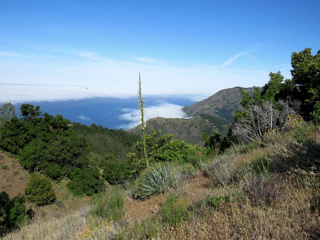
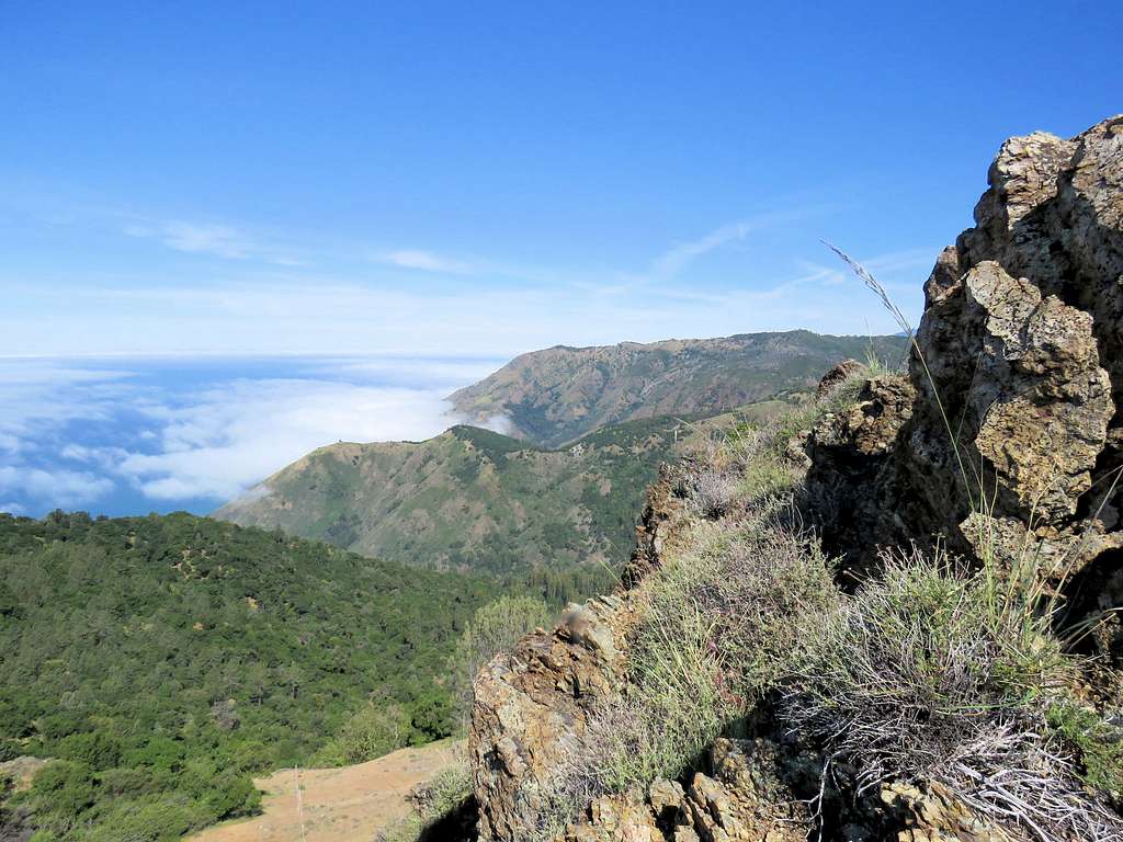
Views from the top of Point 2850 ft.
Had my lunch and left at 10:15 a.m. going back down the ridgetop.
In the morning, just before trailhead, we had seen a private road branching off of Route 1 going up the slopes. I now could see what was probably private residences 1000 vertical feet below the slopes. Wow, how do you get to stay there?
Reached Kris at 10:45 and we began to hike down Buckeye Trail.
Continued down on Cruickshank Trail where we ran into a couple walking up. Those were the only people we saw all day.
Fog appeared again on top of the steep hill above trailhead.
Reached the car at 1:00 p.m.
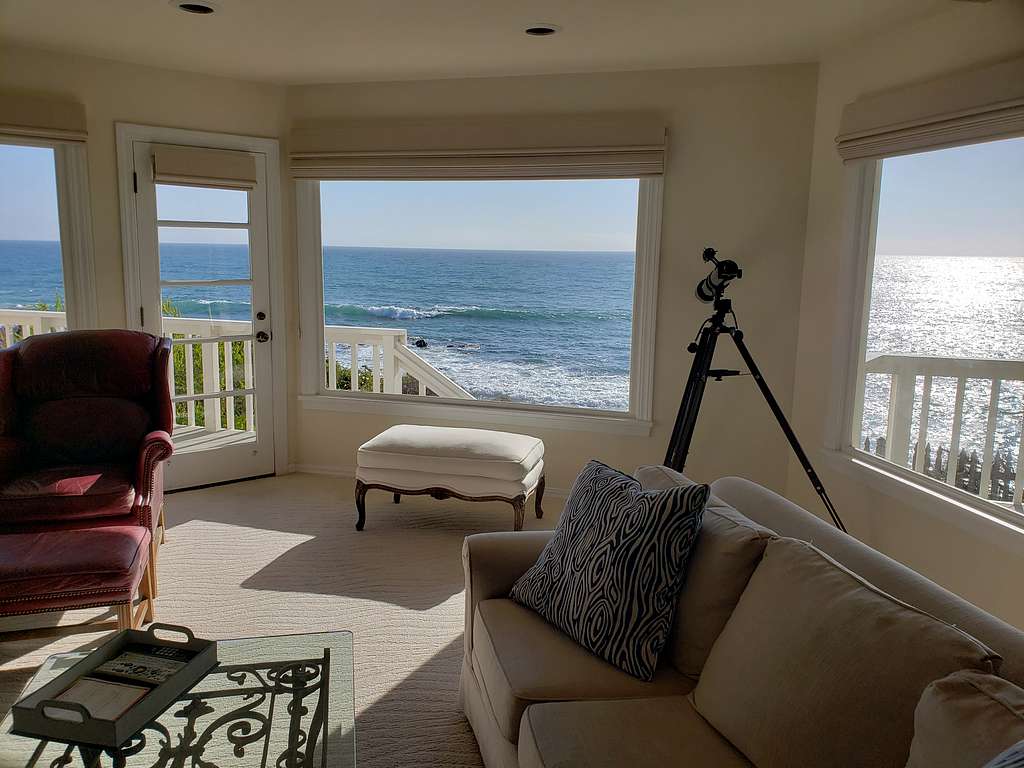
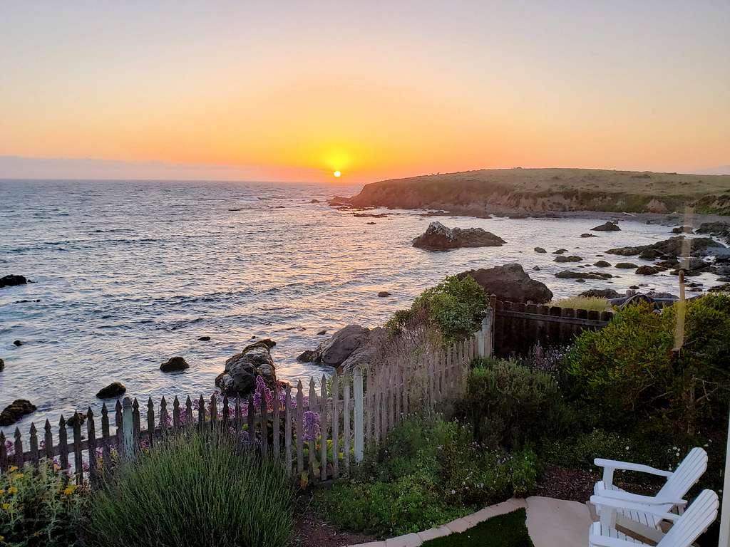
Were back at the ocean front rental house before 2:00 p.m. The best views were perhaps from the house itself!!