
|
|
Mountain/Rock |
|---|---|
|
|
39.86724°N / 120.53047°W |
|
|
Plumas |
|
|
Hiking |
|
|
Spring, Summer, Fall |
|
|
7693 ft / 2345 m |
|
|
Overview
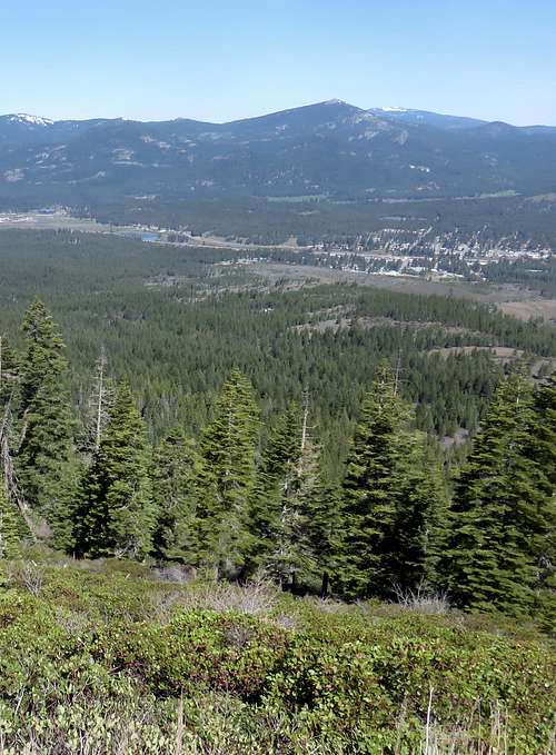
Smith Peak rising above Portola
The Smith Peak Fire Lookout atop Smith Peak is a fairly accessible mountain in Plumas County, California. It has a conical summit that is treeless, offering spectacular views in all directions.
Smith Peak is situated west of the Lake Davis reservoir in the Plumas National Forest, north of the town of Portola. It is a unique landmark in the area, since most of the mountains are all tree covered, and the Smith Peak summit is wide open.
Roads lead all the way to the summit, making it very accessible. I was surprised to learn that they actually plow the road on occasion, even though it is dirt.
Smith Peak is best hiked in spring or fall months, in dry periods. The mountain can get snow, but snow levels vary depending on winter, and snow typically melts by early spring.
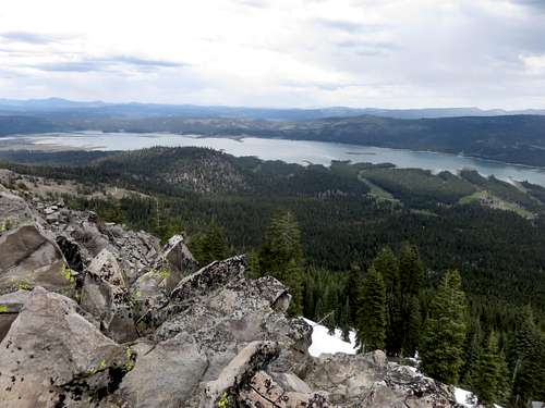
Lake Davis view from the summit
Getting There
Smith Peak is accessed from the west side of Lake Davis. The roads to Smith Peak are off Highway 70. You can drive straight up Lake Davis Road from Portola, or if coming from the east, take Grizzly Road, which also leads to Lake Davis. Grizzly Road is about 2 ½ miles east of Portola, California.
From Portola, you drive about 5 ½ miles,and turn left into a campground. Continue north to Smith Peak Road in about 1 ½ miles. From Grizzly Road, head 5 ½ miles up the road, and turn left on Lake Davis Road. Continue about 2 miles to the campground intersection.
The Smith Peak summit and Fire Lookout are approximately 4.3 miles from the start of Smith Peak Road. The road is very decent, and even a Subaru could probably make it there without too much trouble.
If starting from the base of the road, however, you gain approximately 1,850’.
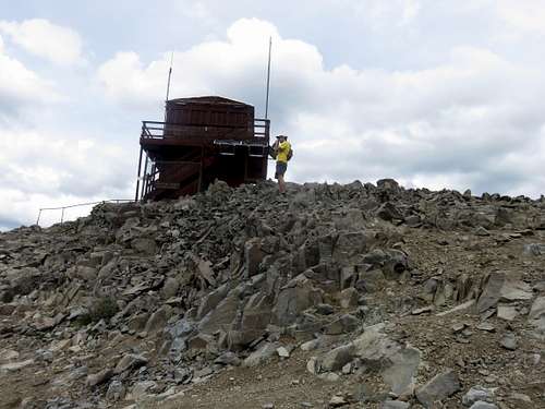
Fire Lookout
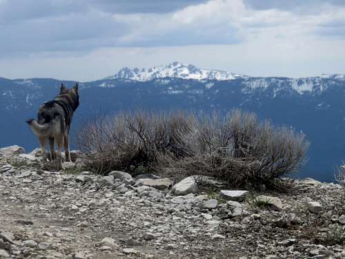
View southwest to Sierra Buttes 8,591'
Red Tape
There is no red tape or restrictions for hiking in this area. The lands are within Plumas National Forest.