

ckidd - Jan 16, 2005 11:57 am - Hasn't voted
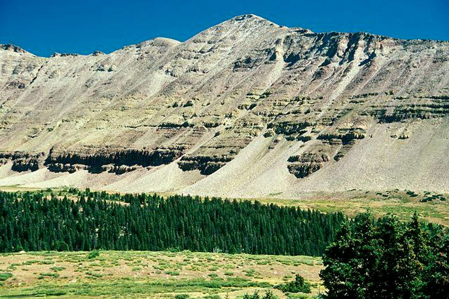
South Kings PeakNice photo. Until 1965 (when the current series of USGS topos were done) South Kings Peak was considered to be the high point in Utah at 13, 498 feet. King's Peak, a quarter-mile north on the ridge, was found to be 22 feet higher at 13, 520.
I am surprised, however, at the sunny day depicted in the photograph. I've travelled extensively in the area since 1972 and remember only one sunny, rain-free day -- and even then a strong wind made conditions uncomfortable.

46and2 - Apr 25, 2006 1:52 am - Hasn't voted
Re: South Kings PeakThis trip we did the loop begining at the East Fork Blacks Fork TH, up Bald Mtn, Smiths Fork Pass, through Garfield Basin, and then down the Little East Fork. While we had great sun, the wind at North Star Lake was brutal. Luckily during the day, it was not frigid. We had a hard freeze that night though and if the tent was not fiercely tied down, I fear we'd have ended up in the lake.

rmac10 - Apr 20, 2008 6:54 pm - Hasn't voted
ElevationsSo. Kings is now listed at 13,512 ft; Kings Peak is listed at 13,528 ft.


Comments
Post a Comment