
-
 2581 Hits
-
 71.06% Score
-
 1 Votes
|
|
Route |
|---|---|
|
|
35.23400°N / 106.4055°W |
|
|
Hiking |
|
|
Spring, Summer, Fall, Winter |
|
|
Less than two hours |
|
|
Class 2 |
|
|
Overview
Distance - 1.3 miles (one-way)Trailhead Elevation - 8080'
Summit Elevation - 8685'
Gain - 600'
Approach
See the "Getting There" section on the Palomas Peak main page.Route Description
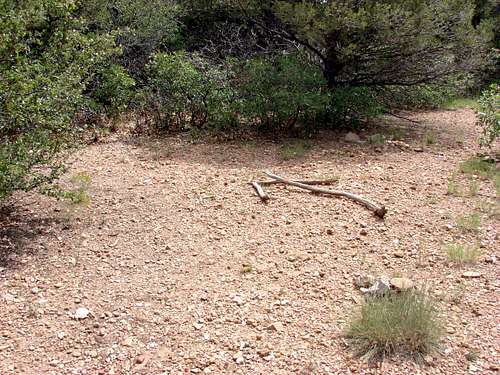
From the parking area next to the concrete barriers begin hiking back up the road approximately 50 feet. On the left side of the road the trail leaves the road. Palomas Peak parking area
 Leaving the road onto the climbers trail
The first portion of the trail follows the contour of the hill and parallels the road. Eventually the trail will drop down and cross a small creekbed, then switchback up the small hill on the other side. Just after this point the trail will intersect with the Upper Faulty trail. This section can be confusing but there are a few carins and arrows to point the way (hopefully they are still there).
 Upper Faulty trail intersection markers
The correct trail will be a 90 degree turn to your left. There is a very faint game trail about 10 feet prior to the correct trail. After turning onto the South Ridge trail you will start to climb uphill on the backside of Palomas Peak. The trail will then switchback and come around to the front side of the peak.
 Leaving the main climbers trail to follow the south ridge
 The trail passing through the cliff band
Finally, the trail will split with a well defined climbers trail running along the base of the major cliff band and a much fainter trail climbing up along the south ridge of the peak. While this trail is faint there are many carins along the way. Once you have gained the top of the ridge the true summit is at the far (northern) end of the peak.
 A large natural carin marks where the trail switchbacks then passes through the cliff band
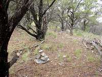 Cairns marking the faint trail along the summit ridge