Comments
No comments posted yet.
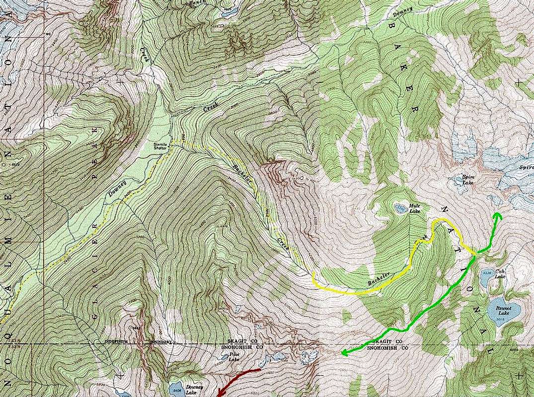
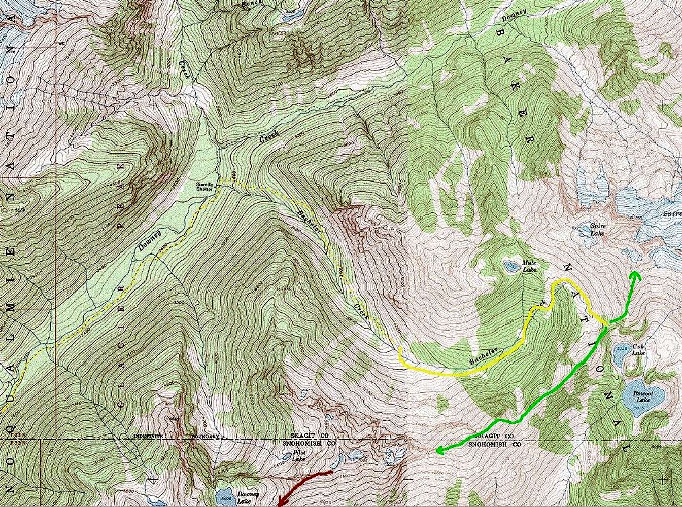
The Bachelor Creek Trail has been abandoned by the Forest Service, but is still used heavily enough to be very distinct. Mostly. The upper portion here is not marked on the map; it's an approximation based on my use of it in 1991 and before, and ragu's comments quoted in the Stage 5 text. The trail is marked on the Downey Mtn. quad, so I just added a dotted line over it. The Stage 5b map continues the Downey Creek trail down to the road.


