Toggle navigation
Mountains
Routes
Images
Trip Reports
Forum
What's New
People
Areas & Ranges
Articles
Trailheads
Canyons
Huts & Campgrounds
Albums
Logistical Centers
Fact Sheets
Lists
Custom Objects
Gear
Plans & Partners
WELCOME TO SUMMITPOST
SIGN IN
REGISTER
East Ridge/ Red Box
Additional Parents
Image
Strawberry Peak (on left),...
View High-Resolution Image
Strawberry Peak (on left),...
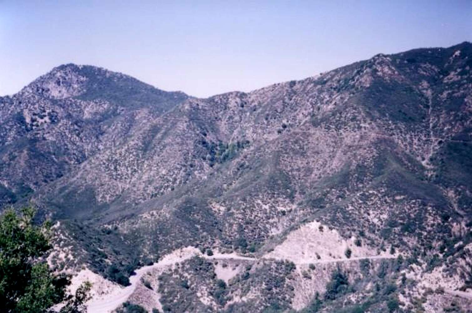
Strawberry Peak (on left), from the southeast. The Stawberry peak trail is visible coming in from the right heading towards Lawlor saddle. Angeles Crest Hwy runs along the bottom.
« PREV
NEXT »
Rob
on
Apr 5, 2004 10:26 pm
Comments & voting
Other parents
Lat/Lon:
34.28360°N / 118.12°W
Image ID:
48551
4300 Hits
74.92
% Score
5
Votes
Log in to vote
Comments
No comments posted yet.
to post!
Don't have an account?
East Ridge/ Red Box
(Route)
You are at
the First
Image
Viewing
#1 of 13
GALLERY
NEXT »
Rob's Image Gallery
« PREV
Viewing
#110 of 369
GALLERY
NEXT »
Strawberry Peak
(Mountain/Rock)
Loading....
×
You need to login in order to vote!
User Name
Password
Remember me
Forgot your password?
Log me out when I close my browser.
Keep me logged in all the time.
sign in as a user
Don't have an account?
Register now for FREE
Rating available
Suggested routes for you
People who climb the same things as you
Comments Available
Create Albums
Register Here


