
|
|
Mountain/Rock |
|---|---|
|
|
48.46330°N / 122.6269°W |
|
|
Hiking |
|
|
Spring, Summer, Fall, Winter |
|
|
1044 ft / 318 m |
|
|
Overview

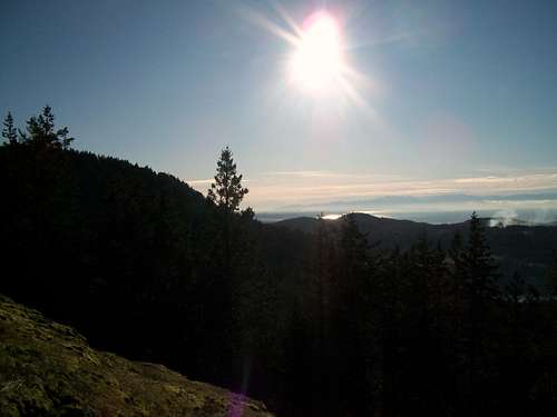
Located just south of Anacortes the small summit of Sugarloaf Mountain is not the dynamic mountain like Rainier, Glacier Peak or the North Cascades. In fact it is not even the highest elevation on Whidbey Island. However Sugarloaf Mountain is a special summit to visit. Though the true summit is actually forested and take 30 foot bushwack/scramble to get to, 100 feet to the west and the south lies good views of the Puget Sound, the Olympics, nearby Mount Erie and the some of the Cascades.

The approach is a very simple 1/2 mile 300 foot elevation gain trail to the summit. It is very recognizable from the Mount Erie scenic road with the wooded gates marking the trail. The trail is a straight forward and can be done with noraml gear most of the year. Because of the low elevation it is rare that extra equipment (microspikes, snowshoes, etc) is ever needed. That being said even if the road up is covered with snow, this summit is still very doable and make a great beginner, trainer or just a great hike to change the pace.
