
|
|
Mountain/Rock |
|---|---|
|
|
47.35141°N / 121.90411°W |
|
|
Hiking |
|
|
1490 ft / 454 m |
|
|
Red Tape
Make sure this doesn't happen to you
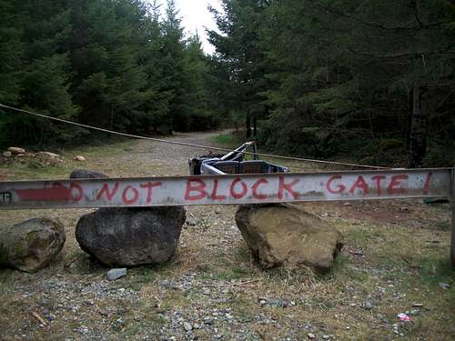
Though Sugarloaf Mountain is on public land. It should be noted that there is no way to enter the public land without traversing through private property. That being said, the route that goes to the true summit mentioned has no "no tresspasssing signs" and is heavily used by local hikers and ATV's.
Overview
Sugarloaf Mountain
Sugarloaf Mountain located just east of Maple Valley is yet another smaller summit near Maple Valley. The summit itself is on public lands. However accessing the summit does require a person to travel over private land. That being said the path begins of the Kent-Kangley Road just west of is heavily used. It should be noted though not to block the gate. When I was there a tore apart pickup represented the result of what happened when the gate was blocked (creepy).
Very close to the true summit on the road
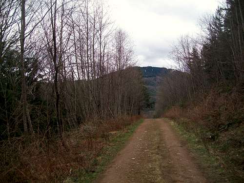
The route up to the summit usually requires a 5 mile 500 foot elevation gain roadwalk which first travels through powerlines and then through up through second and third growth forest up to the last little summit block. There are some views on the roadwalk including one of Mount Rainier along the way. The road come within 20 feet of the true summit. From the road look for a faint bootpath to take to the true summit, which is completely forested.
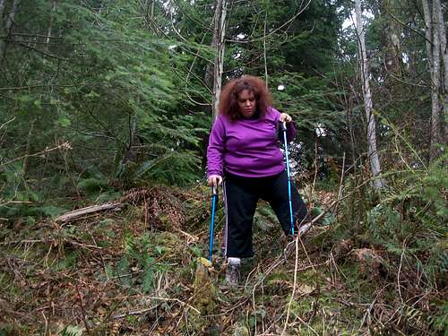
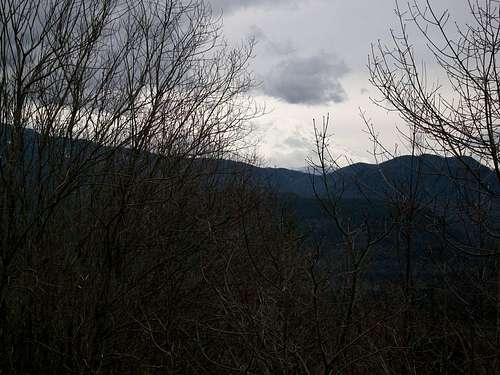
BearQueen heading down from the summit
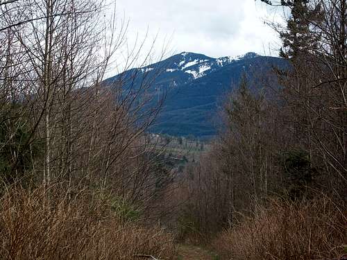
View from the road heading down
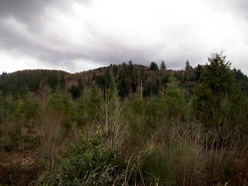
The two best seasons to hit Sugarloaf are fall and winter. This peak would be ideal in fall because there are a large amount of decidious trees on the mountain and if conditions are right they can change a nice color and layer the road nicely. In winter Sugarloaf can be a better spot because the leaves are off the trees and limited views can be seen through the trees including one of downtown Seattle.
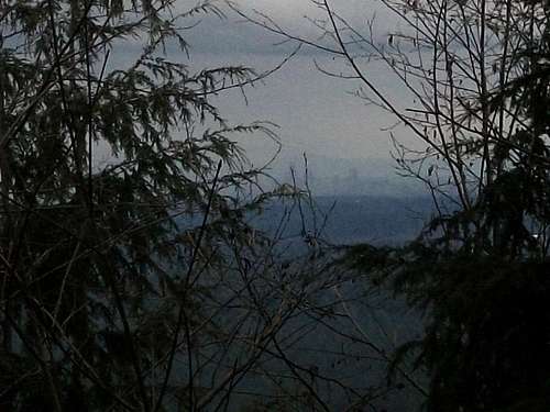
If you look closely...you can see Seattle
Rainier in the distance
With the pleasant grade of the roadwalk, Sugarloaf is ideal for beginning hikers. The only thing is the busted car at the gate can be unnerving.
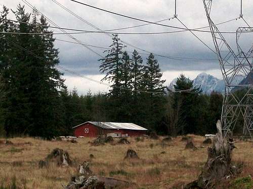
View from the power cables
Getting There
VIA THE KENT-KANGLEY HIGHWAY- From Kent take the Kent Kangley east. Continue heading east past Covington and Maple Valley. Stay on the road until roughly 6 miles east of Maple Valley you will run into 320th Street on your left. There will be a gate on the right marked on it "DO NOT BLOCK GATE". At least when I was there the remain of a pickup truck also marked the starting point. It should be noted that it is private property and though the owners seem to be okay with other hiking on the road, this could change at any time.Camping
Camping is prohibited!External Links
More information about Sugarloaf Mountain ForestA trip report on Sugarloaf Mountain