
Viewing: 1-5 of 5

Azra - Dec 16, 2007 2:35 pm - Voted 10/10
Beautiful photo!I like it!
:-)

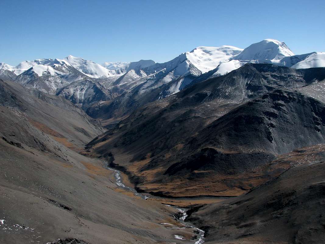
Bruno - Dec 16, 2007 2:49 pm - Hasn't voted
Re: Beautiful photo!Thank you!
The picture was taken from another summit at 6130m.
Bruno - Jan 10, 2008 1:10 pm - Hasn't voted
Re: Beautiful photosThe ones recently posted on Kaluxung, Noijin Kangsang and neighbouring peaks were taken in late October 2007 (except the one with Yamdrok Tso taken in May).
The other pictures from Tibet are from all around the year. Winter is actually also a very good time, though a bit cold sometimes... :-)
kasa - Apr 14, 2008 9:29 pm - Voted 10/10
Beautiful photos~!Wish I can see it on my own eyes~
We have a plan to the south summit this July. Someone told me that the locals also call this summit as Jangsanglhomo.
Bruno - Apr 19, 2008 1:15 am - Hasn't voted
Re: Beautiful photos~!Hi Kasa,
I just re-edited the picture, to make location of Jangsanglhomo and Kaluxung clearer.
Viewing: 1-5 of 5


Comments
Post a Comment