
Comments
No comments posted yet.
|
|
Trip Report |
|---|---|
|
|
40.57711°N / 111.59362°W |
|
|
Download GPX » View Route on Map |
|
|
Jul 7, 2022 |
|
|
Hiking, Mountaineering |
|
|
Summer |
The 10648 ft Sunset Peak rises near Utah’s Brighton Ski Resort close to Salt Lake City. A three-mile-long trail takes you from the ski resort’s parking area, past three beautiful alpine lakes to the summit of Sunset Peak. Having done long hikes on Mt. Nebo and Mt. Timpanogos over the prior few days, I was looking forward to a beautiful short hike with great views from the top.
Trailhead Elevation: 8770 ft
Summit Elevation: 10648 ft
Roundtrip Hike: 6.4 miles
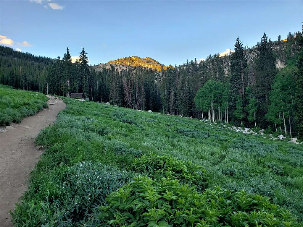
Left the vacation rental house near Orem Utah at 5 AM (sunrise a few minutes after 6). Had a good 30-mile drive north toward Salt Lake City. Temperature was already 75 degrees F making me worried about the day being very hot. Got on Big Cottonwood Canyon Road which in 15 miles, took me from an elevation of 4800 ft to 8770 ft making the temperature drop nicely to 50 degrees F.
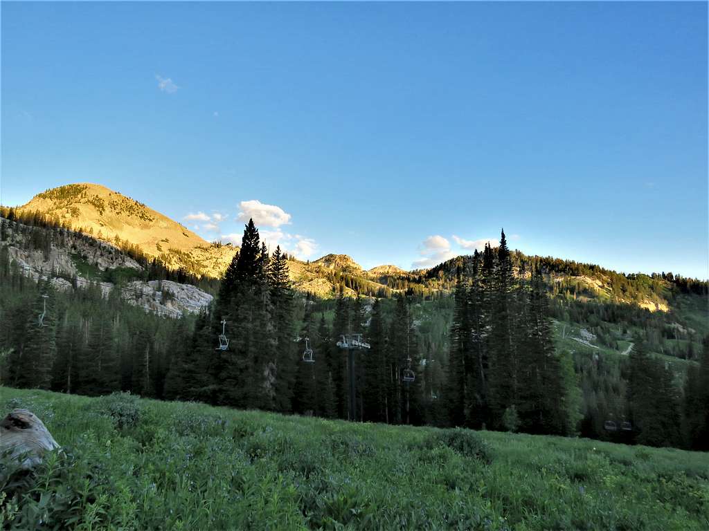
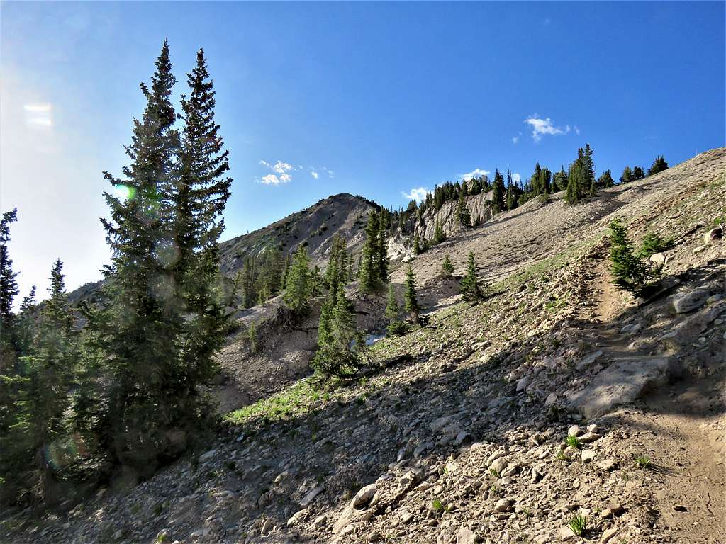
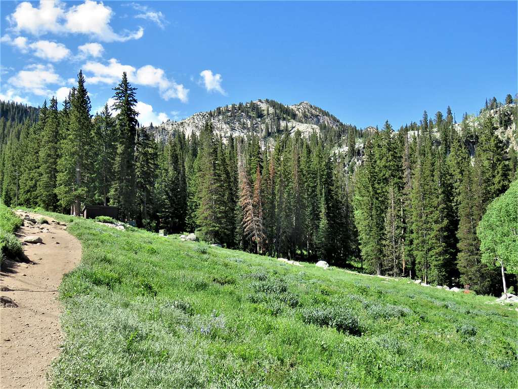
Parked at Brighton Ski Resort’s parking lot that I had seen on aerial photos. A number of cars were there but I did not see any people. Started my hike at 6:12 AM. Got on a trail that went under ski lifts. Mt. Millicent was visible.
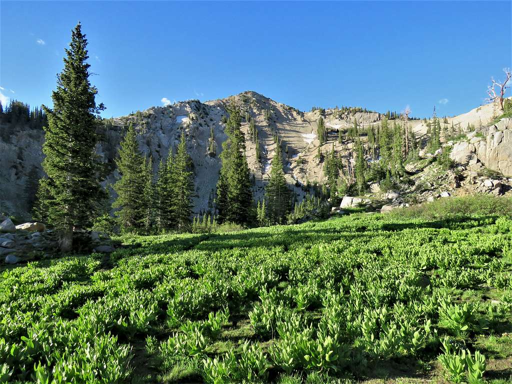
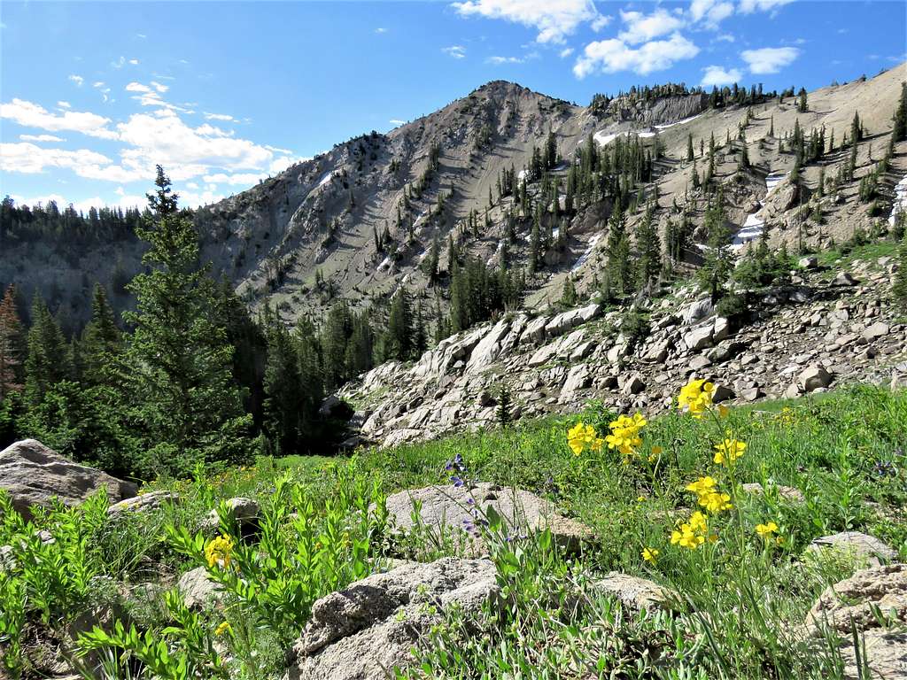
Sunset Peak soon came to view.
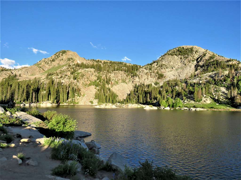
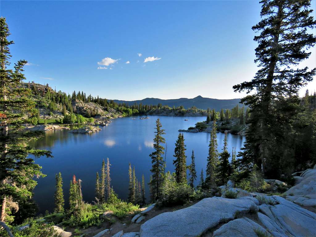
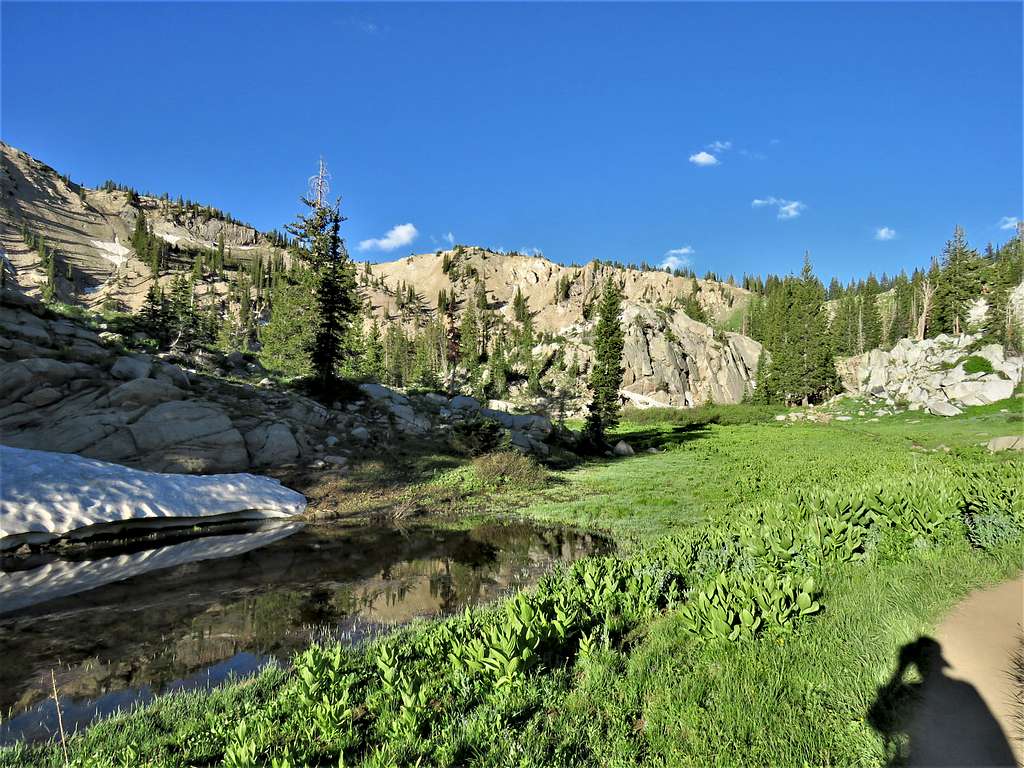
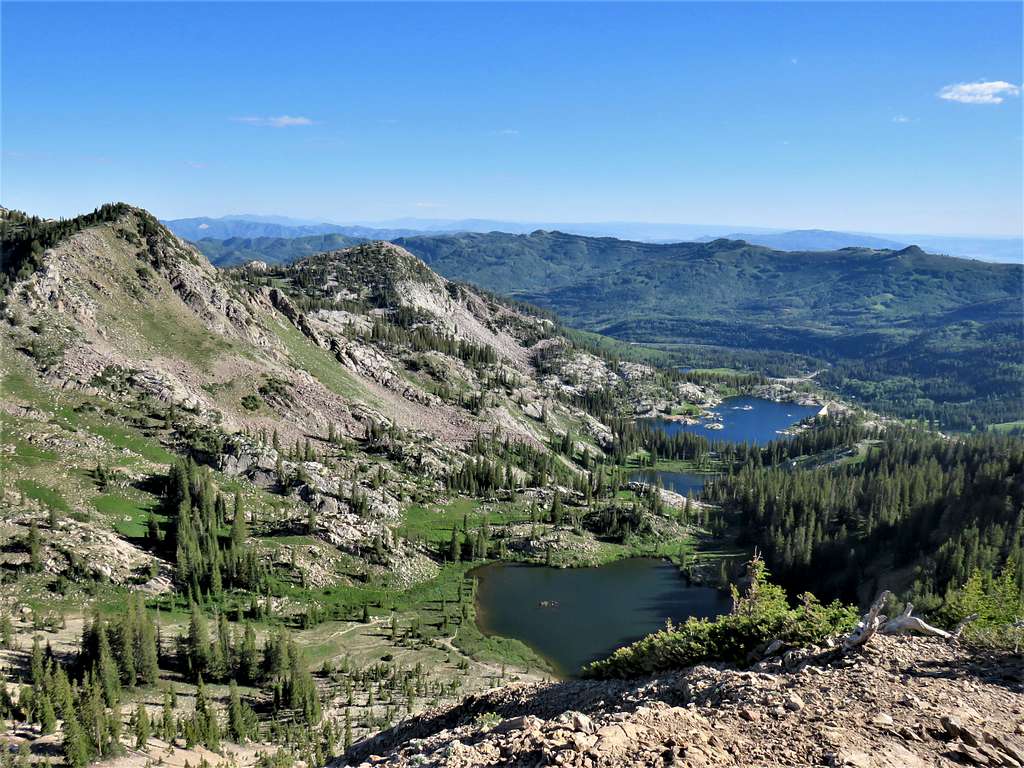
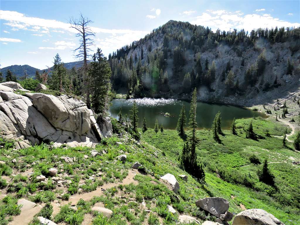
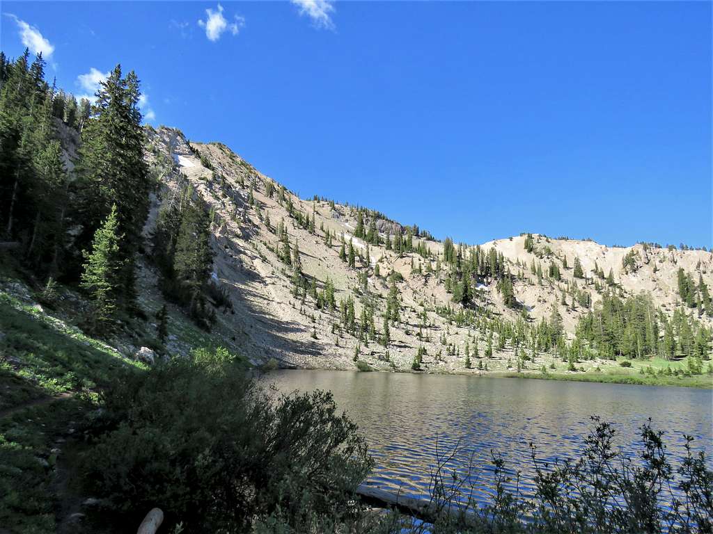
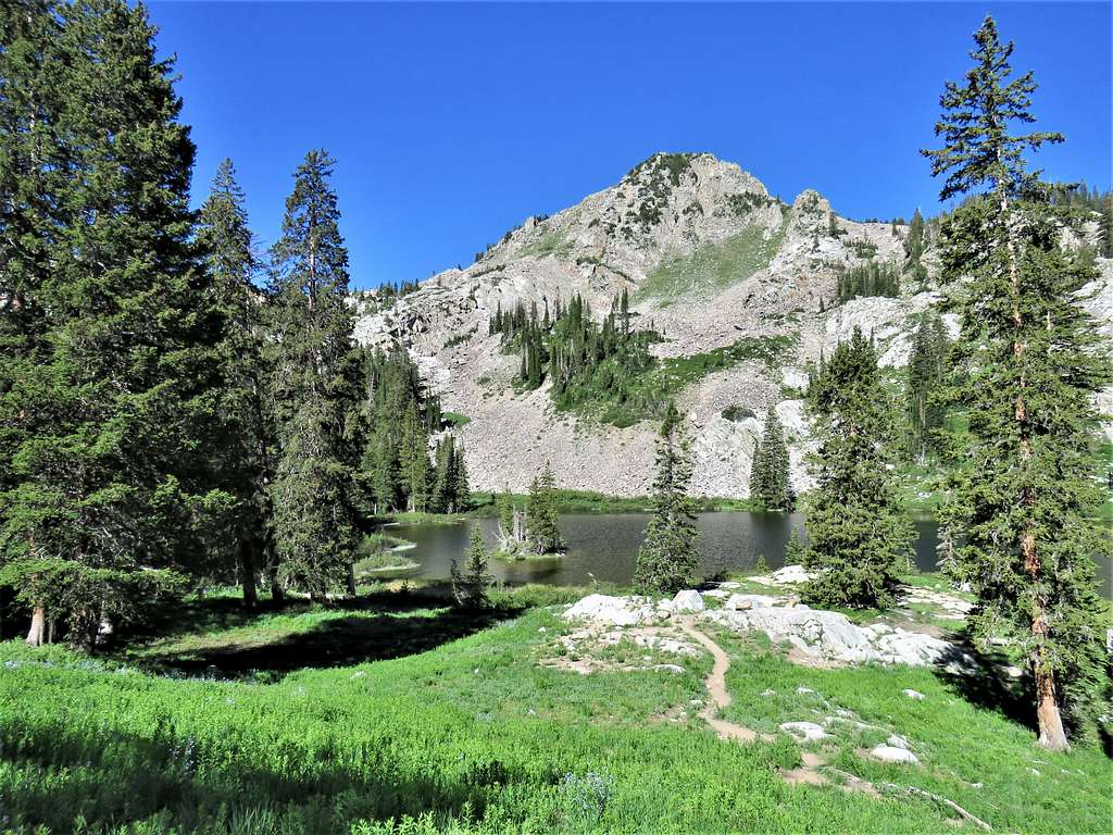
After 1.17 miles, reached the 9510 ft Lake Mary. Mts. Millicent and Tuscarora seen.
Sunset Peak and Mt. Tuscarora.
Looking northeast at Scott Hill.
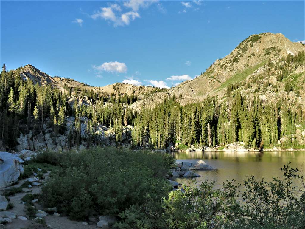
Beyond Lake Mary, the smaller Lake Martha came to view.
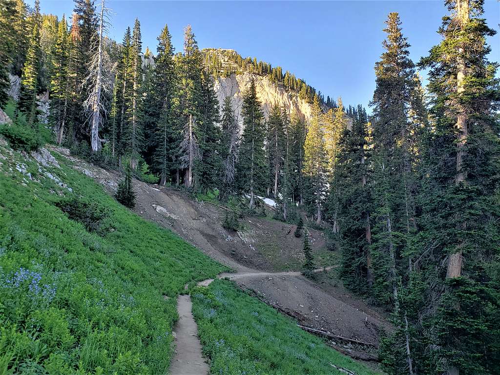
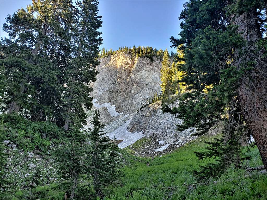
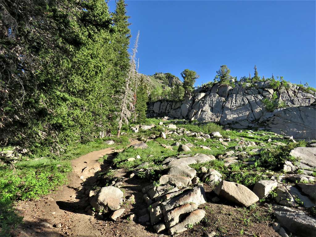
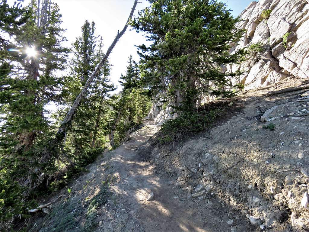
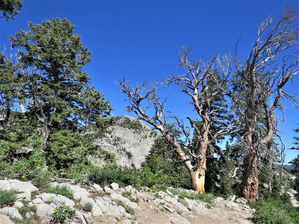
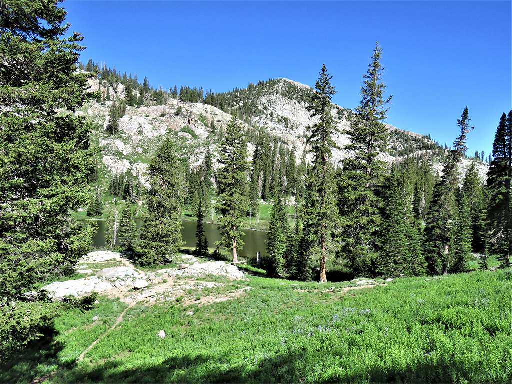
The trail made a couple of switchbacks and went on to traverse the slopes below the white cliffs of Pioneer Peak.
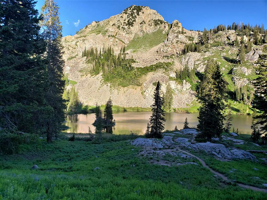
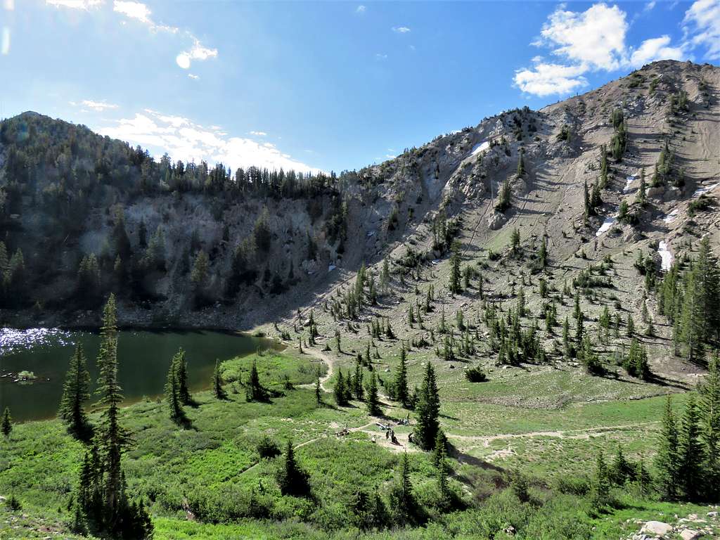
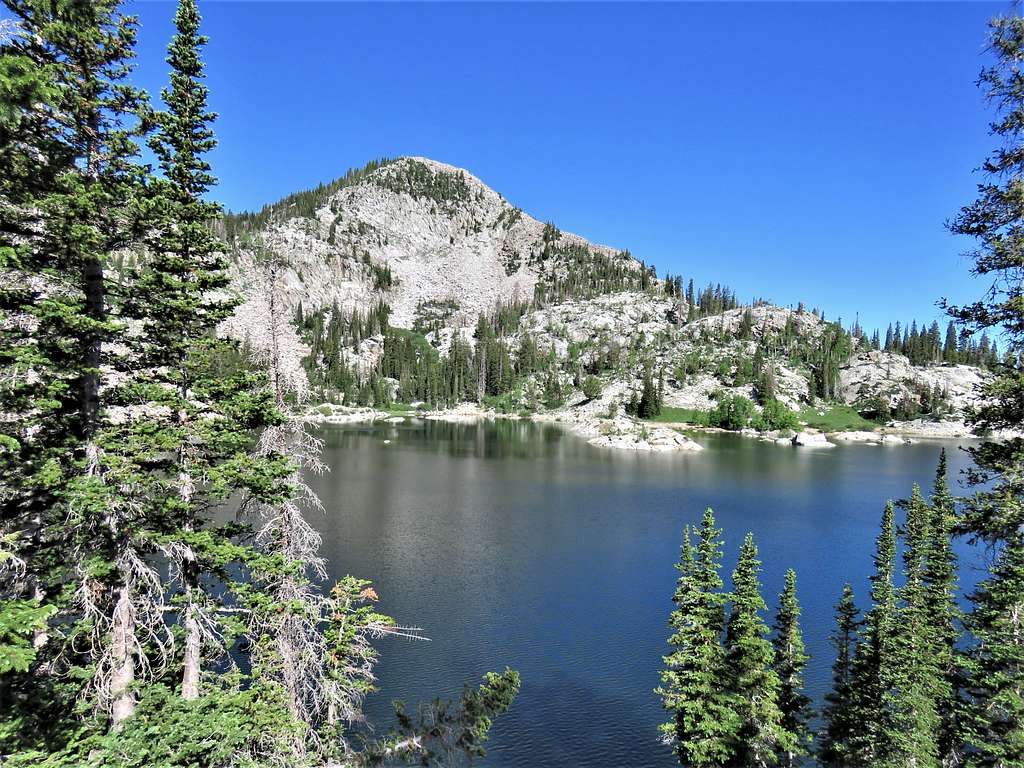
I then reached a split in the trail near the 9920 ft Lake Catherine. The white granite reminded me of California Sierras.
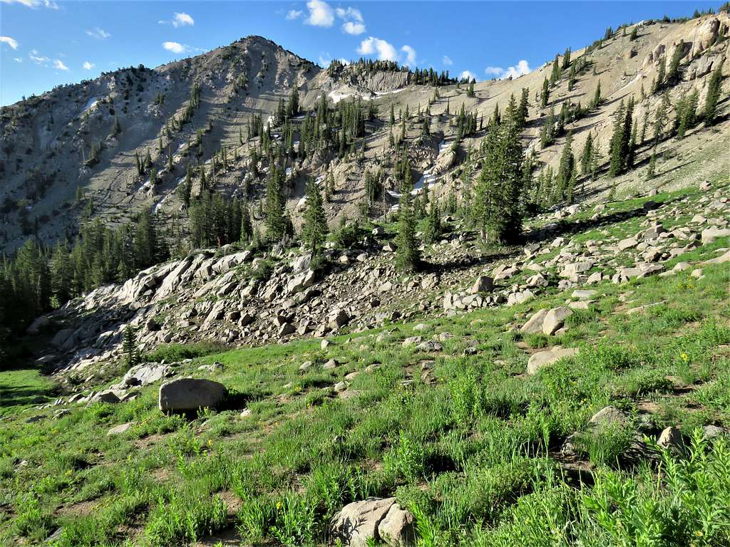
Bypassed the lake and went toward Catherine Pass. Views of Sunset Peak.
Reached the 10220 ft Catherine Pass at 8:05 AM and 2.9 miles. Got on a beaten path that traversed a slope going toward Sunset Peak.
From below, I could hear people who had camped on the shores of Lake Catherine. Sounded like there were many children down there.
Reached the summit of Sunset Peak at 8:17 AM and 3.16 miles. Great views for little effort.
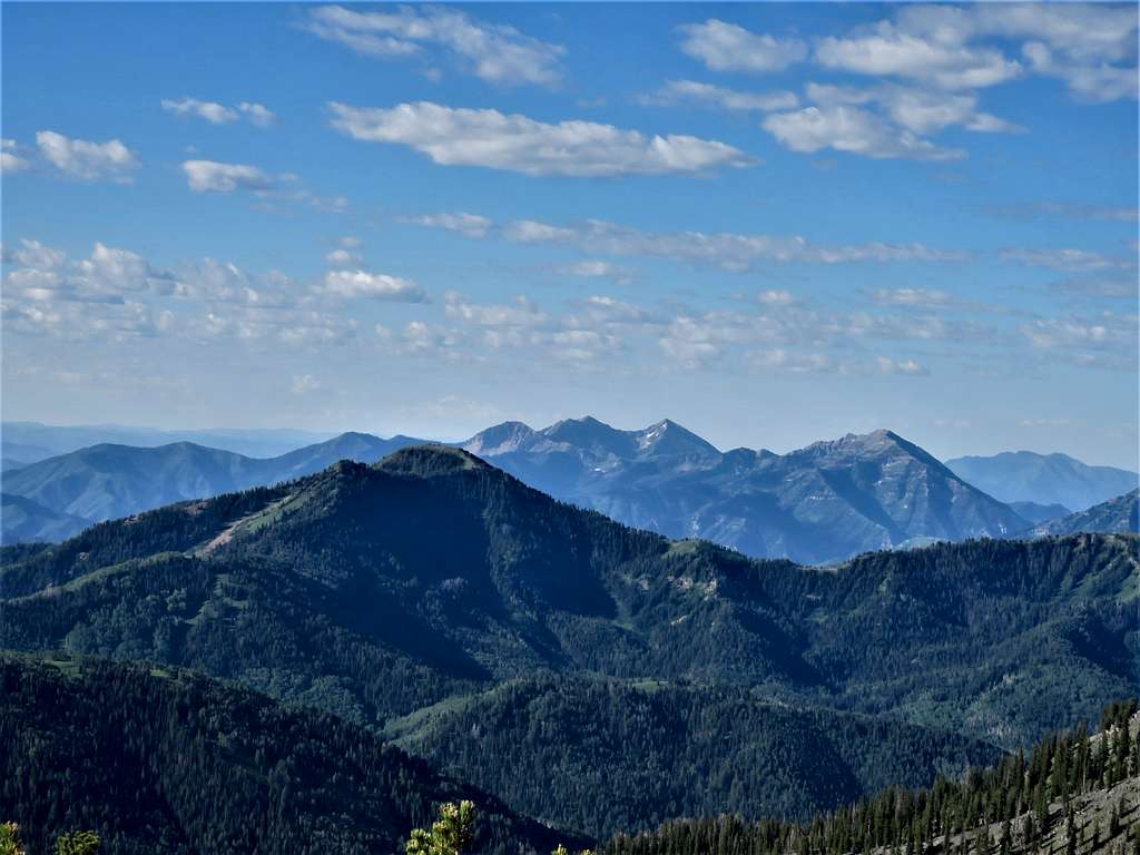
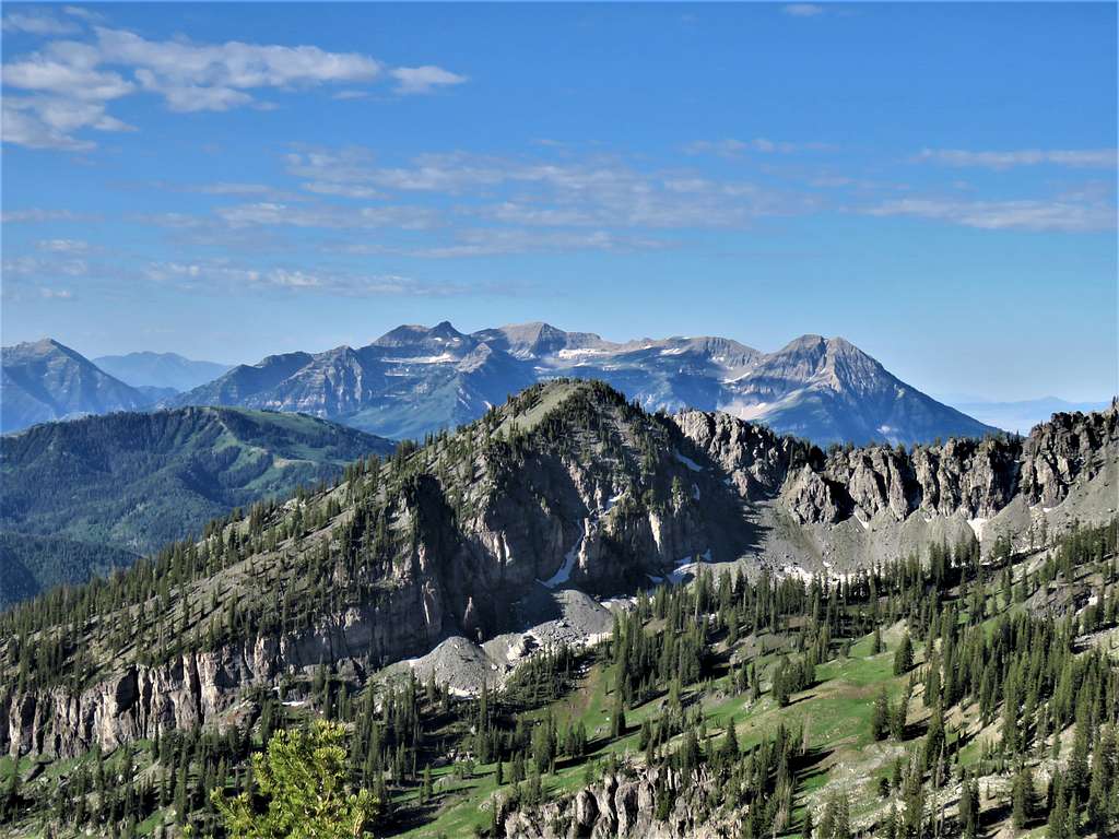
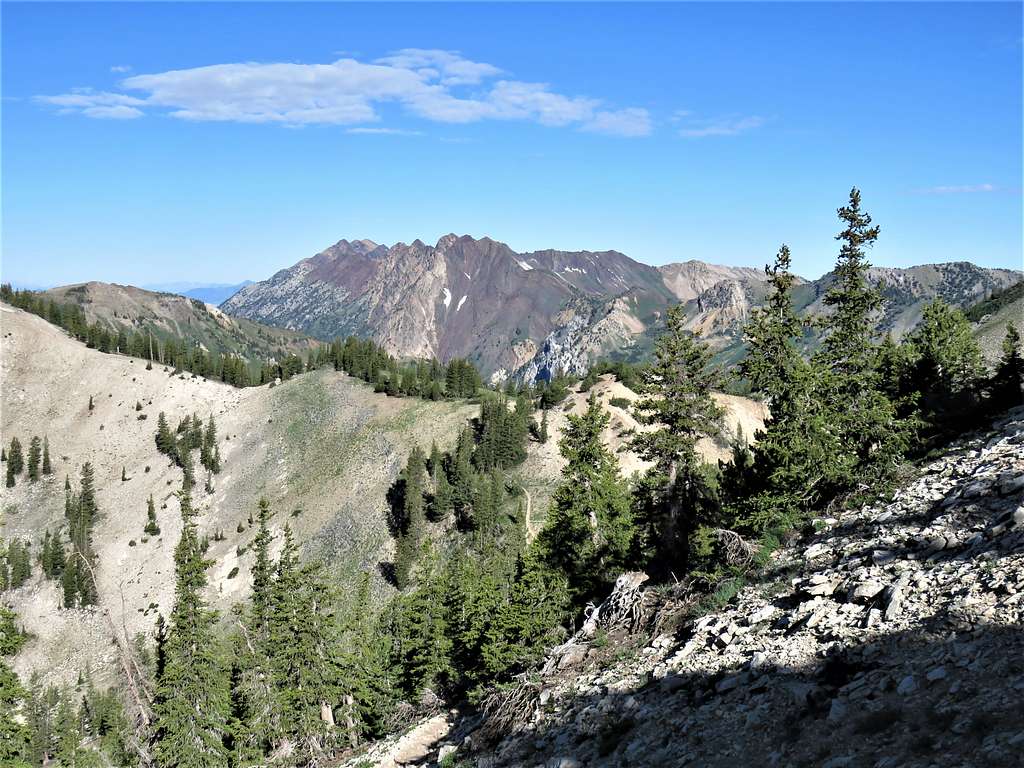
Zoomed view of Provo Peaks, Cascade Mountain and the closer Mill Canyon Peak.
The Massif of Mt. Timpanogos.
Twin Peaks, Mt. Baldy, Sugarloaf Mountain etc.
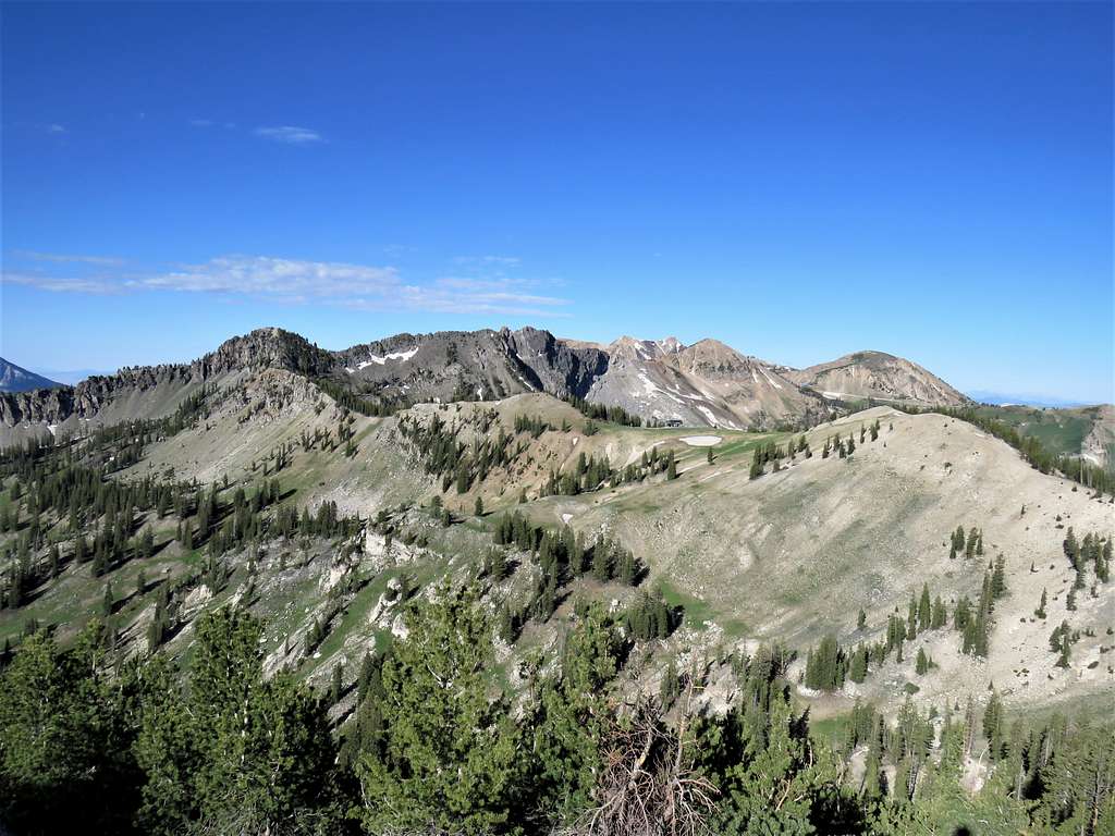
View toward Dromedary and O’Sullivan Peaks.
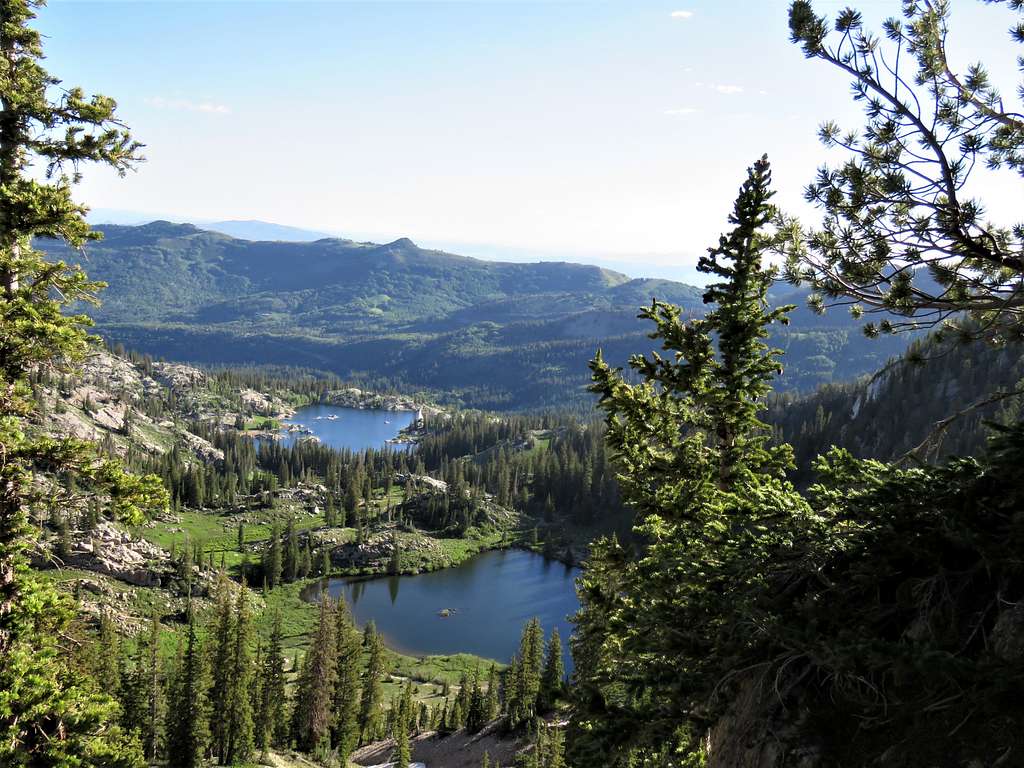
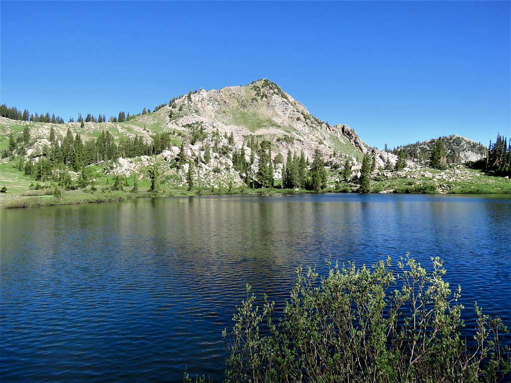
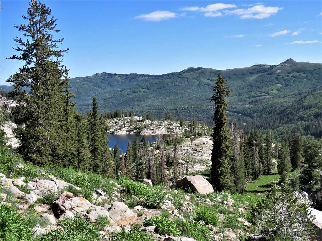
Mt. Wolverine, Tuscarora and Millicent plus Catherine Lake.
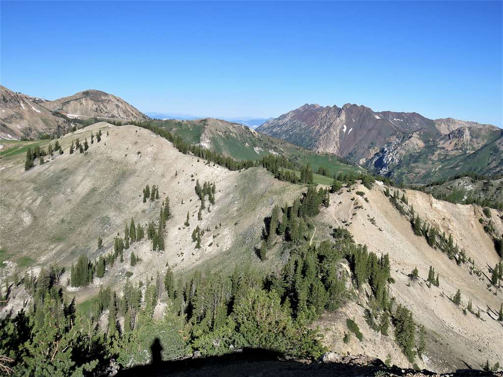
Lakes Catherine, Martha and Millicent.
Sat there to eat and enjoy the views. A lone lady hiker came up and soon left. I started to go back at 8:55 AM. Another great view toward Mt. Dromedary.
Was soon at Catherine Pass. I was then running into people and the lower I went, the more frequent my people encounters became. Went on the trail that took me toward Lake Catherine.
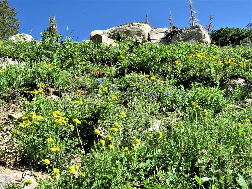
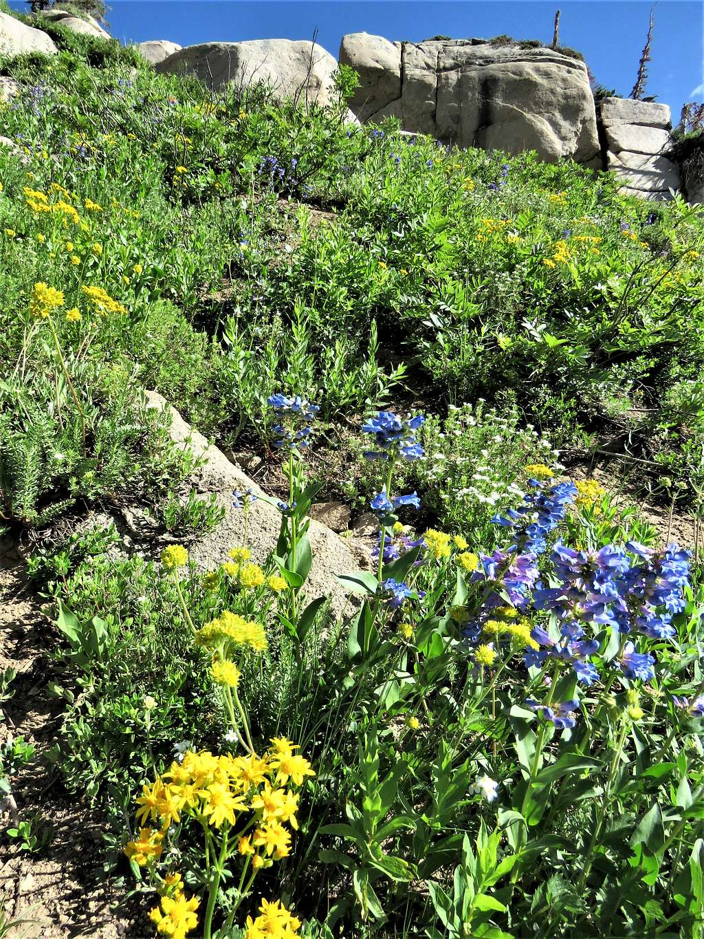
Beautiful flowers.
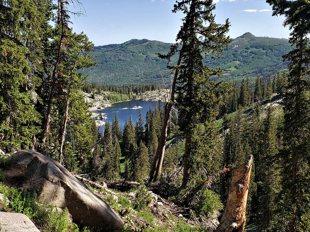
Reached those people who had camped by Lake Catherine, four ladies and a whole lot of children, one lady was changing diapers. View of Mt. Tuscarora and Millicent from Lake Catherine.
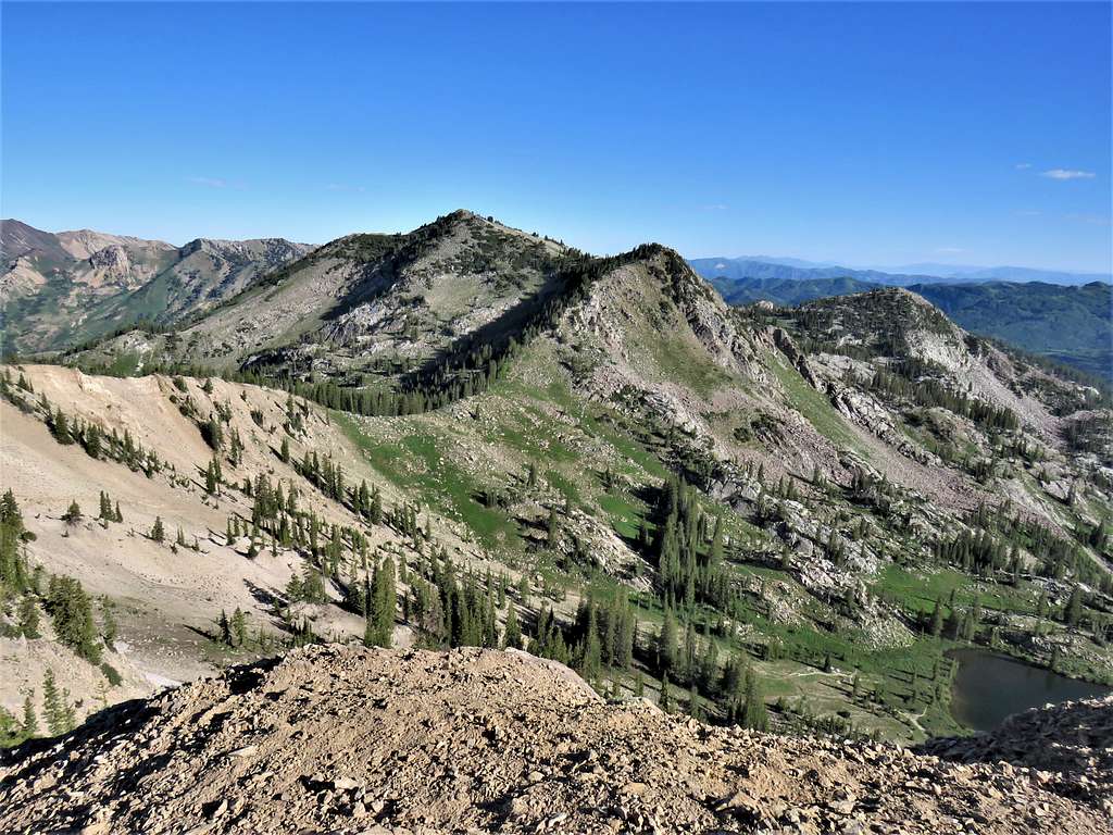
Sunset Peak and Lake Catherine.
I was then back on the trail going down the path I had come up from.
A look back at Sunset Peak from the lower parts of the trail.
Reached my car at 10:43 AM. It was 69 degrees F and as I drove down the mountains, it went up to 91 degrees in the city.