
-
 4801 Hits
-
 71.06% Score
-
 1 Votes
|
|
Route |
|---|---|
|
|
63.01822°N / 12.20100°E |
|
|
Scrambling |
|
|
Summer |
|
|
Half a day |
|
|
Not to hard but steep |
|
|
Approach
The lake Syltjørna, which has great places to camp, can be reached in half a day from fjällstation Sylarna. Just walk NW from the station and walk counter-clockwise around Sylarna, into Norway and the valley with the lake (13 km). Don't use the marked trail on the last part (which goes south) and save some time walking diretcly towards the lake.The starting point from Norway is the Nedalshytta, wich can be reached by road. The beginning of the route is about 7 km from this hut. You first walk to the north and after about 4 km go into the valley to the east.
 Lake Syltjørna has good camping sites.
Route Description
From the lake you go towards the east and steep side of the mountain. The route is marked with red paint and goes straight up. Around 1300 meters the route turns a bite to the right and goes through bigger rock's, but still isn't difficult. Once you reach the saddle, the route is flat for a small distance. After that, you have a little bit of steeper scrambling to do before you reach the top of the Storsylen.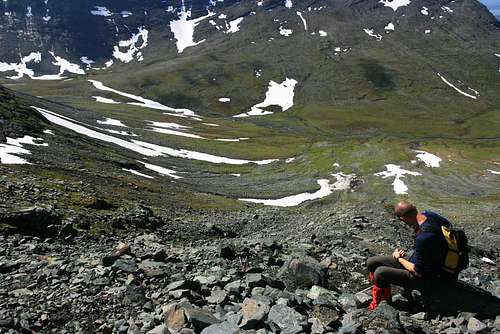 Break during the climb
 From the summit off Storsylen
Essential Gear
A pair of good hikingboots, water and/or windproof jacket and pants, hiking poles, beanie, gloves and sunglasses.In winter warmer clothes and a pickel are usefull.