
|
|
Mountain/Rock |
|---|---|
|
|
37.01237°N / 113.86863°W |
|
|
Download GPX » View Route on Map |
|
|
Washington |
|
|
Scrambling |
|
|
Spring, Fall, Winter |
|
|
4500 ft / 1372 m |
|
|
Overview
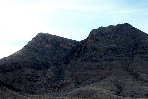
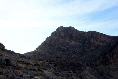
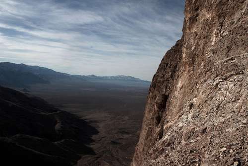
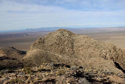
Tabeau Peak is a semi-obscure mountain in the very southwest corner of Utah near the shared borders of Arizona and Nevada. A double-summited mountain with a wide saddle in between, this beautiful peak is climbed infrequently. When I climbed it in mid-January of 2016, my journal entry was the 20th since 2008. The standard northeast ridge route is a fun romp up the mountain with a sting in its tail. The last 100 feet up a vertical chimney is an exciting way to reach the summit. There is also a slot canyon with a nice arch on the northeast side of the saddle, according to Bo Beck. This makes for a more enjoyable descent route, Beck said.
Tabeau Peak
Getting There
Tabeau Peak is blessed with a very easy approach. From Interstate 15 exit 8 in Beaver Dam, Az., turn left onto Highway 91 and follow this for approximately 9.5 miles to the Mojave Desert Joshua Tree rd. (clearly signed at the time of this writing.)
From St. George, take Sunset Blvd (continuing as it becomes Highway 91) for a little over 25 miles to Mojave Desert Joshua Tree rd.
Once on the Mojave Desert Joshua Tree rd., drive approximately 2 miles on this gravel road. No 4WD needed. There are occasional graded pullouts alongside the road, find an appropriate spot to park. There is a larger space to park near the Bulldog Knolls, but this adds some distance to the climb.

Tabeau Peak
Route
Northeast Ridge Route Here
There would appear to be a fairly straightforward route up the western side of the mountain, but as of this writing no information is available. I plan on going back and investigating
Red Tape
None. Just park and go
When to Climb
Summer would be the least appealing time to attempt a climb up this peak. A climber could get broiled at that time. When I climbed it in January, it was cool and windy but very comfortable. Spring and Fall would also be great times to climb it.
Tabeau Peak
Camping
According to the BLM's website: "Dispersed camping is allowed on federal lands, although vehicles must stay on designated roads within the NCA north of the Backway. Also take note that the Backway travels through the Shivwits Indian Reservation on its northern end and public access to these lands is not permitted."
Tabeau Peak
External Links
Link to the BLM page for the Mojave Desert Joshua Tree Scenic Backway
Link to the BLM page for the Beaver Dam Wash National Conservation Area
Weather page for Beaver Dam, Az.
Tabeau Peak