
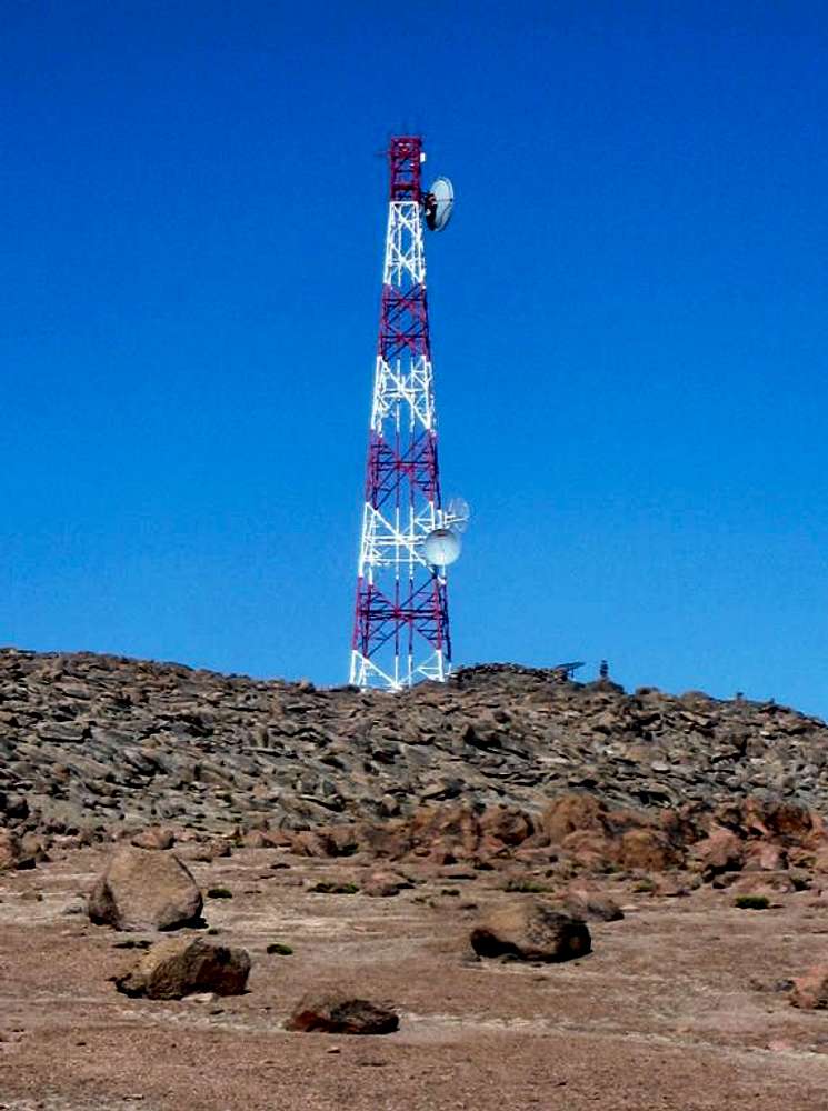
Telecom tower along the approach route
If you want to climb Nevado Huarancante or Nevado Chucura, this telecom or radio tower is an excellent orientation point for the approach route to either of them. In fact, there is a dirt road leading up there, and it looked good enough to drive with a regular car, although I think that will depend on the time of year: if it's been dry for a long time, you might get stuck in the sand, and in the rainy season it might be too muddy. That said, although there is a rainy season, roughly from December to March, it doesn't rain all that much. It's just that the dry season is very dry indeed. It's basically a high altitude desert out here.
Instead of driving, I walked here from the Mirador de los volcanos, the highest point on the main road between Arequipa and Chivay. All tourist buses stop there, and regular public buses will stop on demand. The only drawback is that when you're coming back, you may have to wait a while before catching a ride back to civilization.
20 May 2011.


