Toggle navigation
Mountains
Routes
Images
Trip Reports
Forum
What's New
People
Areas & Ranges
Articles
Trailheads
Canyons
Huts & Campgrounds
Albums
Logistical Centers
Fact Sheets
Lists
Custom Objects
Gear
Plans & Partners
WELCOME TO SUMMITPOST
SIGN IN
REGISTER
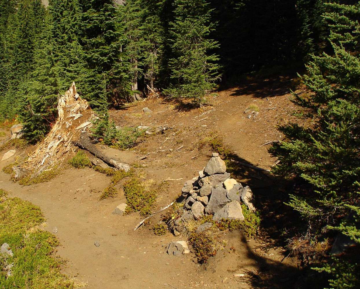
The cairn marking...
View High-Resolution Image
The cairn marking...
The cairn marking the beginning of the climbers trail off the PCT. Roughly 44.47319N x 121.84976W - 10/14/06
« PREV
NEXT »
Karl Helser
on
Nov 8, 2006 1:45 pm
Comments & voting
Other parents
Lat/Lon:
44.47319°N / 121.84976°W
Image Type(s):
Rock Climbing
,
Hiking
Image ID:
242517
3029 Hits
71.06
% Score
1
Votes
Log in to vote
Comments
No comments posted yet.
to post!
Don't have an account?
South Ridge
(Route)
You are at
the First
Image
Viewing
#1 of 1
GALLERY
You are at
the Last
Image
Karl Helser's Image Gallery
« PREV
Viewing
#647 of 746
GALLERY
NEXT »
South Ridge
(Route)
Loading....
×
You need to login in order to vote!
User Name
Password
Remember me
Forgot your password?
Log me out when I close my browser.
Keep me logged in all the time.
sign in as a user
Don't have an account?
Register now for FREE
Rating available
Suggested routes for you
People who climb the same things as you
Comments Available
Create Albums
Register Here


