
|
|
Route |
|---|---|
|
|
35.46800°N / 82.243°W |
|
|
Hiking |
|
|
Spring, Summer, Fall, Winter |
|
|
Most of a day |
|
|
Moderate to strenuous |
|
|
I |
|
|
Overview
The Jeep Trail is the unofficial name of the old road that climbs from near the shore of Lake Lure to the ridgeline of Rumbling Bald Mountain and the peaks beyond. I'm sure this was an old logging road, and it remains in good repair, with some sections still being maintained for motor vehicle use. Currently, it's illegal to take a motor vehicle on the Jeep Trail, but folk still do this, at least until Hickory Nut Gorge State Park is officially formed.Total round trip would be about eight miles.
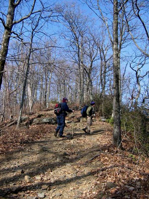 Climbing Shumont.
Getting There
From 64 West, pass by the beach area at Lake Lure. As soon as you cross the small bridge over the Broad River, take a right on Boys Camp Road. Take this road for about 1 mile. Right after passing a resort on the right, look for a place to park. The Old jeep trail is on the left. Much of the property is privately owned, so you must get permission to hike from the Rutherford Outdoor Coalition.Route Description
 Cliffs on Rumbling Bald Mountain.
The start of the trail is at roughly 1,000 feet, just above Lake Lure, adjacent to a new housing project jealously guarded by "no trespassing" signs and a gate. To avoid arrest, stay off of private property, and do not block any roads with your vehicle.
The old jeep road ascends steeply up the slopes of Rumbling Bald Moutain in a completely no-nonsense kind of way. It's all Class I, to be sure, but a tough hike. You gain about 2,000 feet of elevation in less than two miles. The climb is pretty relentless, so be sure to carry plenty of water, especially in warmer months. There is no reliable water anywhere along the trail, and the quality of any intermittent springs would be suspect, anyway.
Soon after gaining a false ridgetop, you will see a road to the left that drops down about 100 feet to the top of one of the cliffs of Rumbling Bald Mountain. This is worth a detour, as the views of Lake Lure are pretty nifty, despite the grafiti left on the rock surfaces by local idiots.
 Great views!
Continuing on the trail, you will climb another 200 feet or so to the proper summit of Rumbling Bald before dropping down slightly into a gap. Within the next mile, you will climb another set of peaks and traverse two shallow gaps before coming to a beautiful view looking to the western (Chimney Rock) side of the gorge. Here, you can see the famous Chimney Rock, the old private park, Cedar Knob, and Hickory Nut Falls.
Push on, climbing again about another 300 feet until the jeep road veers to the left and begins to descend. Leave the jeep road and follow a well worn footpath that will lead to Eagle Rock. Scramble to the summit for some of the finest views in the area. Looking north, you can see all the way to the nearby Black Mountains, and southward to the Piedmont.
 To the summit!
The Jeep Trail is a very satisfying hike with the payoff of some great views. Total elevation gain is somewhere around 4,000 feet, so it's not an easy hike, but no trouble for anyone in relatively good condition. Be careful around the high cliffs on the summit, as they drop precipitously. Climbers frequent Eagle Rock, and rappelling is popular.
On the return trip, take the side trail to the right that ascends to the very top of Shumont Mountain, at over 3,800 feet. The summit is pretty much clothed in trees, and there are few views. But it's a nice hike and worth the trip up.
Essential Gear
If you're just hiking:boots
hiking staff
water
food