
Viewing: 1-1 of 1

nartreb - Nov 1, 2005 11:54 am - Hasn't voted
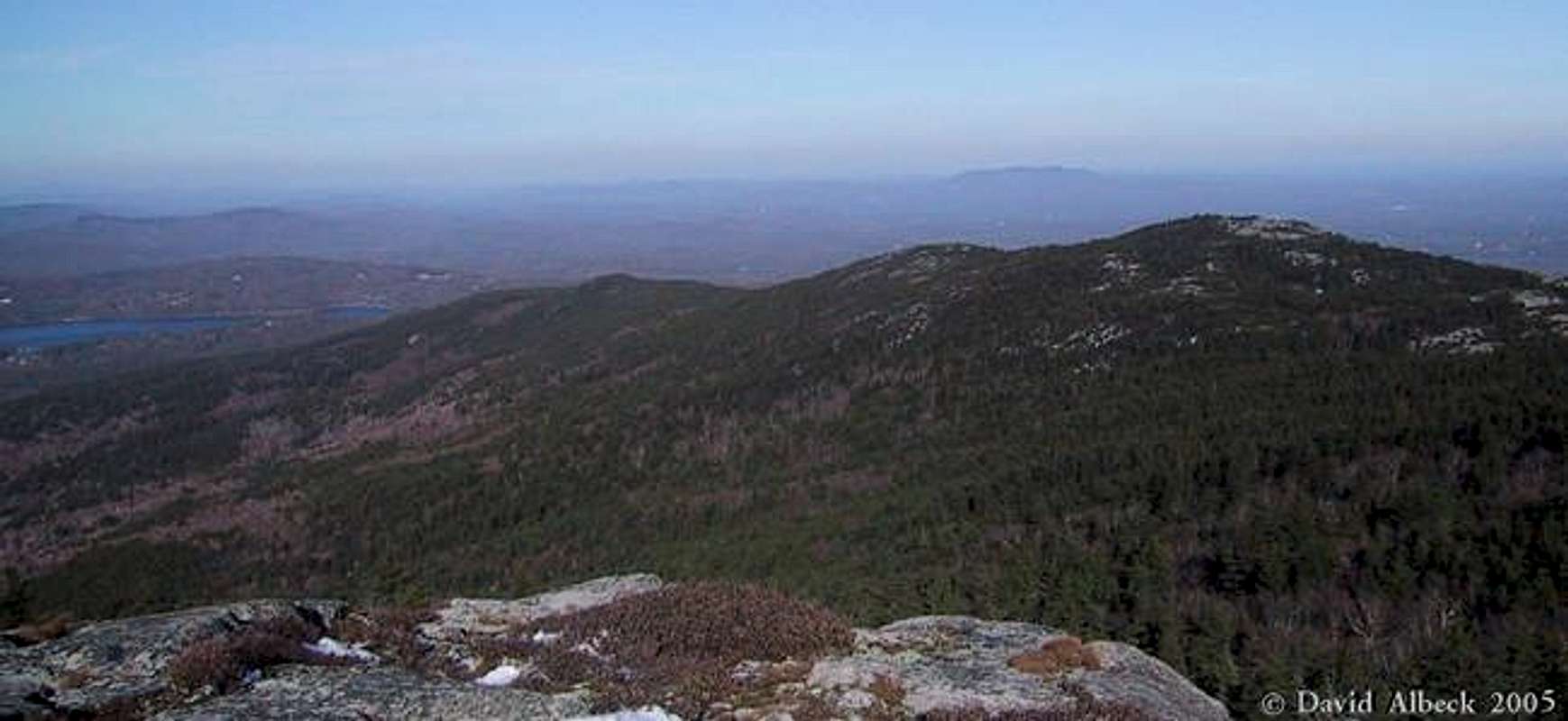
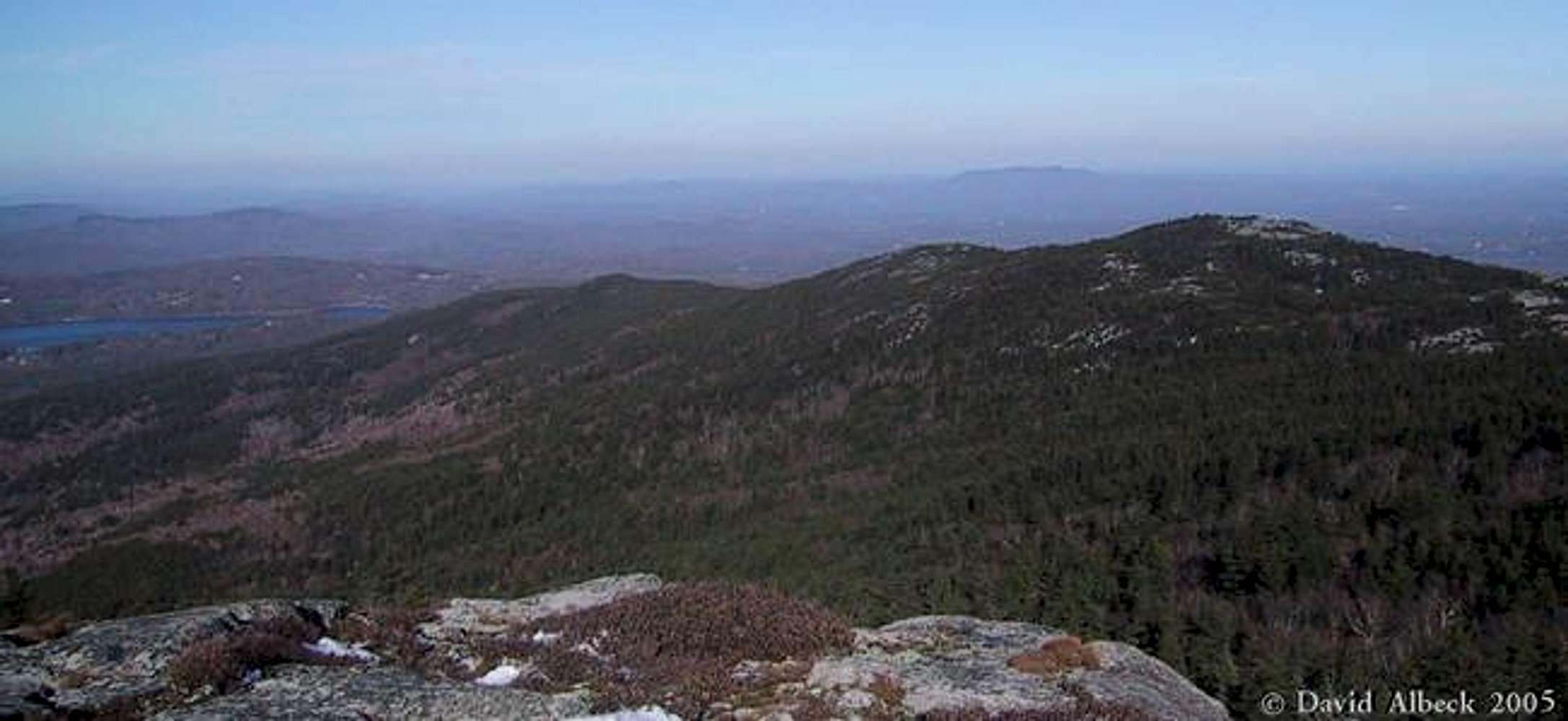
Re: thanksYou're welcome. Pumpelly is relatively deserted until it joins up with the link trails (no parking lot at the trailhead, and it's the longest hike), so you get a nice quiet walk in addition to the Monadnock views. The only time I've seen fewer people on a Monadnock trail was on the Marlboro trail in winter (had to snowshoe up the road to reach the trailhead).
Viewing: 1-1 of 1


Comments
Post a Comment