
 .
.Comments
No comments posted yet.
(This is Part III of a multi-part trip report. See Part II here.)
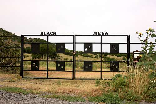
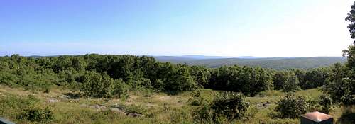
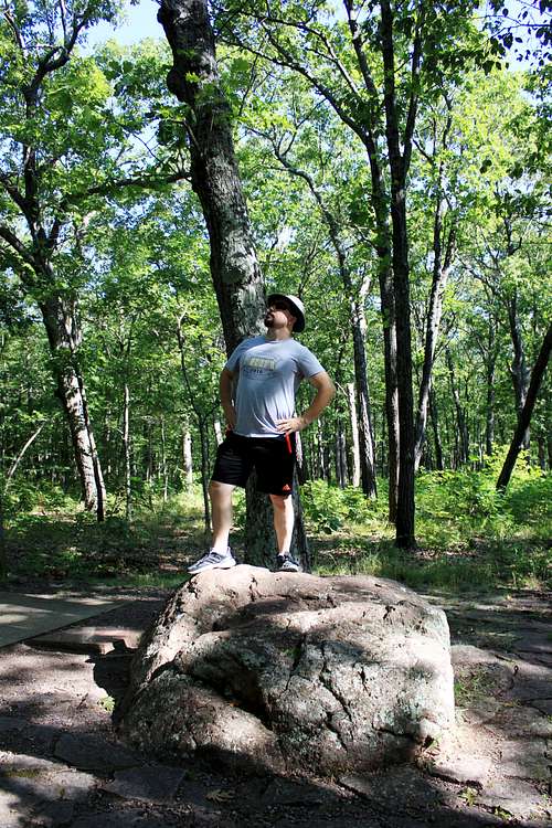
We woke before the (slightly later) Central Time Zone sunrise to drive the half-hour to the Black Mesa trailhead and began the level hike in the dark with headlamps. The "trail" is really a double-track for ATVs and is very easily to follow even in the dark (unlike Wheeler). There are benches every half-mile or so, and about 2/3 of the way into your hike you gain the 500' of the mesa to your left. It was around this point that the sun peeked above the horizon.
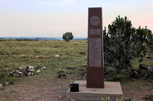
There really isn't much to this hike other than the almost entirely flat 4-mile approach. The highpoint obelisk is quite striking and has a nice "summit" register. On our hike back to the trailhead we found a horned toad - pretty cool! Viewing the trailhead area in daylight was also a nice surprise - very well kept!
We got back to the motel in Boise City with just enough time to take showers before check-out at 11. We then proceeded across the panhandle and southern Kansas for the rest of the day, getting into Springfield, MO pretty late. The Super 8 we stayed at was...not the best. But it was better than sleeping in the car again!
Back on the road bright and early the next morning, we got off I-44 at Rolla and took the beautiful Missouri back-roads to Taum Sauk Mountain. Arriving around 11am, we quickly took in the views at the overlook and got photos at the true summit rock. We considered a jaunt of a few miles to Mina Sauk Falls, but were hoping to get to our friend's house in Columbus that evening, so we canned the extra detour.
Heading east and north, we shuttled through St. Louis with a view of the arch, then took the long drive east on I-70. Not my favourite stretch of interstate by any means, but it did get us to Columbus by 7pm. We played a game of Wingspan with our friends before hitting the sack.
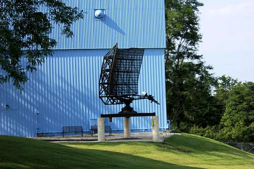
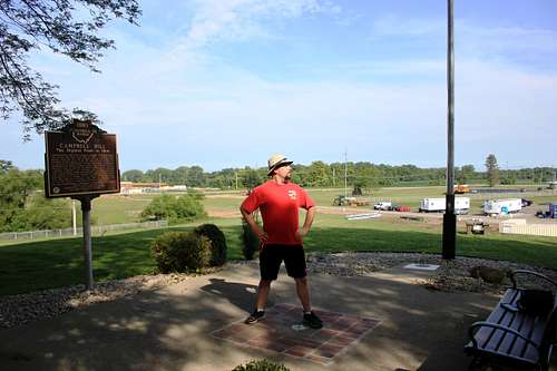
Although our overnight in Columbus was already on the "home" side of Campbell Hill, we strayed west enough to snag the highpoint before truly heading home. The highpoint is on the campus of a technical college and doesn't have a lot recommending it, but they do have a neat replica radar set up as a nod to the hill's past as a radar post.
From there we routed up to US-30 and took it most of the way back to Pittsburgh, then Turnpike to home.
The original plan of 3 major western highpoints being cut to 2 was probably the right choice, and it also had the result of getting us home 2 days early. I am very much looking forward to a future trip where we do get to tackle the northern rockies (but with much better fitness prep!).