

Viewing: 1-2 of 2

Dean - Oct 26, 2004 12:25 pm - Hasn't voted
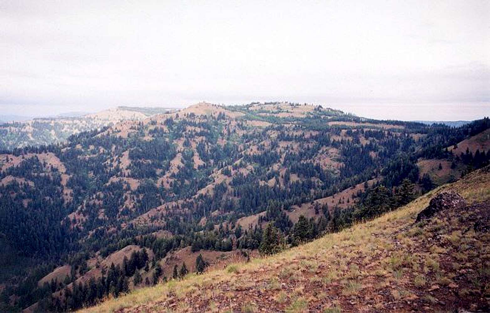
Mt. Misery?Whoever named this peak had never been up North Gardner or Mt. Grafton down in Nevada. Still, this is a non spectacular part of washington state with hardly any lakes or things that look like mountains. Ticks abound in the spring. The Ski Bluewood area can be seen to the west.

Klenke - Oct 26, 2004 1:09 pm - Hasn't voted
Re: Mt. Misery?I think the mountain might be named after the Misery Camp some few miles to the east (on FR-43). I passed by the remains of this camp. It was a Civilian Conservation Corp (CCC) camp back in the 30's. Apparently in that one year it was in operation it was the biggest such camp in the West.
Viewing: 1-2 of 2


Comments
Post a Comment