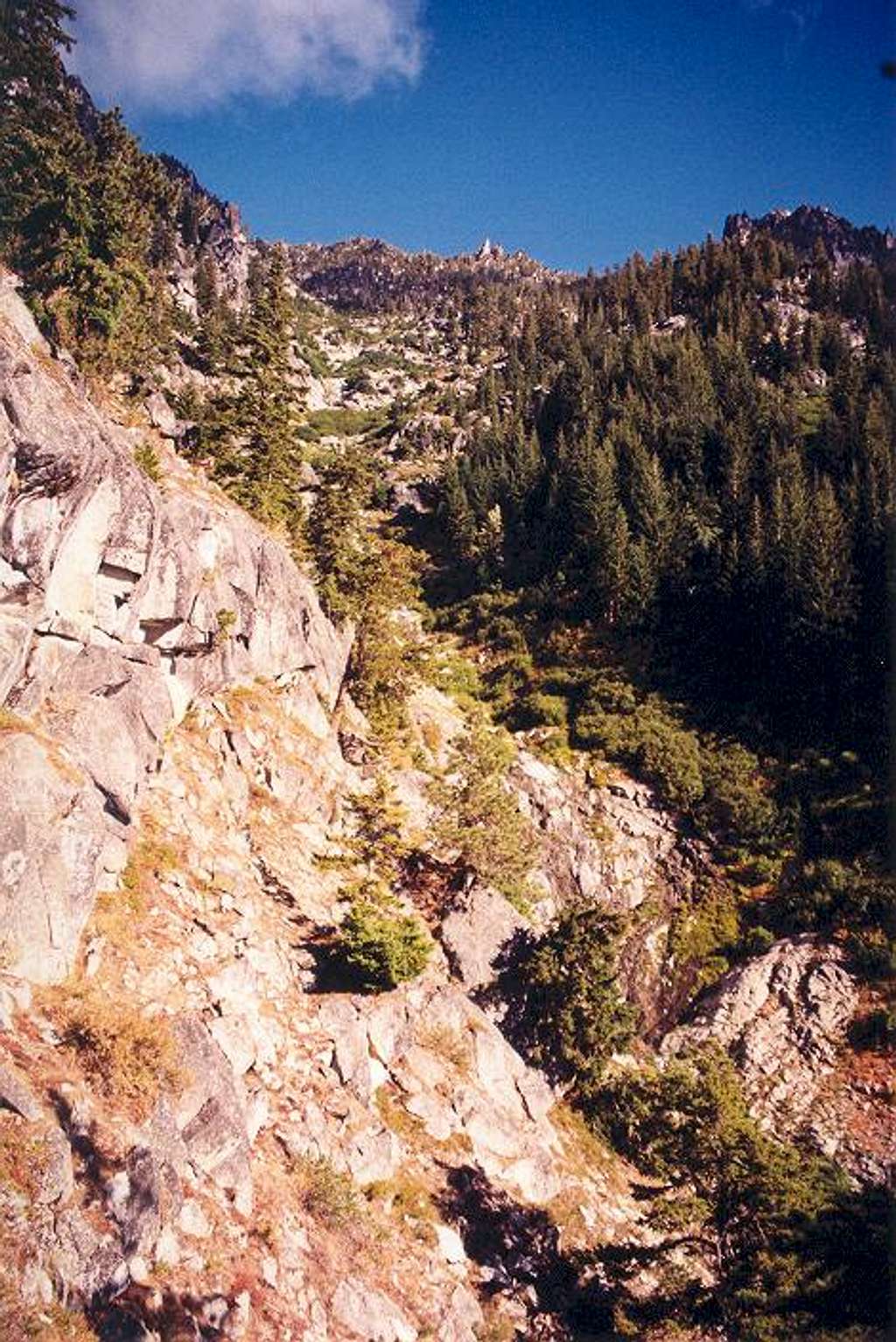
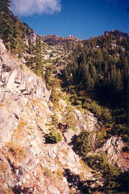
This is what the typical...
This is what the typical south slope drainages look like on McClellan Peak. This one leads up to the east side of the summit. This particular drainage was mostly open travel with only the odd, short bushwhack segment. I did not actually get into the drainage until at an elevation of 5,000 ft. Before that, I had ascended the steep timbered slope to the left. I would wind up cresting the skyline ridge between Tulip Towers (which are at center) and Rocket Peak (on the right). Photo taken Sept. 12, 2003.


