
-
 6866 Hits
-
 74.92% Score
-
 5 Votes
|
|
Route |
|---|---|
|
|
36.51347°N / 118.22652°W |
|
|
Hiking, Mountaineering, Scrambling |
|
|
Summer |
|
|
Most of a day |
|
|
Overview
This route is named for the Mt. Whitney Portal Store's Doug Thompson, who described it to me. Mr. Thompson would like to give equal credit to Dave Kirk, who accompanied him on his exploration of the canyon through which the route passes. In addition, he would like the route to honor his true friend Tracy.
The route is an interesting alternative to New Army Pass and Army Pass, the routes most commonly used by hikers seeking the summit of Mt. Langley. It involves some cross-country travel, but never exceeds Class 2. The advantages of this route include beautiful Sierra Nevada scenery (gnarly ancient trees, lush meadows, abundant wildflowers, etc.) and the availability of plentiful water. It makes for a fine descent route as well. It also avoids the long lines of hikers you might encounter on the switchbacks of New Army Pass and Army Pass.
Getting There
See the main page for driving directions to the Cottonwood Lakes/New Army Pass trail head.
Route Description
From the New Army Pass/Cottonwood Lakes trail head, follow signs as if you are headed for the Cottonwood Lakes. Eventually there is a fork in the trail where you choose between the Cottonwood Lakes and Muir Lake. Turn right, as if you are heading for Muir Lake. However, when you near the south shore of the lake, simply head cross-country to the northwest.
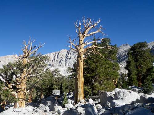 A pleasant alternative to the popular trails
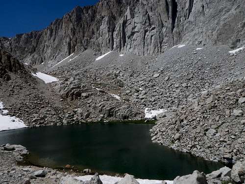
Hike past the numbered Cottonwood Lakes, staying to the right (east) of them, until you reach the unnamed last (northernmost) lake. The Fin is a prominent feature above and northeast of this small lake.
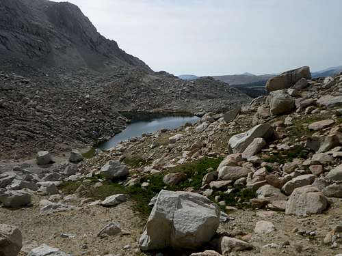
 Looking toward the north end of the lake, where the route up the canyon begins
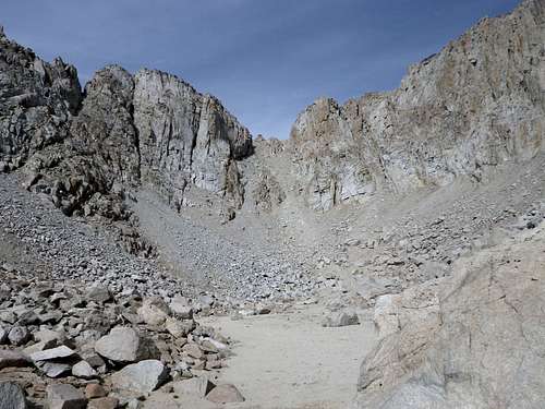
If you proceed to the north side of the lake, you’ll discover a canyon on your left. Head west up this canyon. There is abundant running water here, with lush meadows. The hiking is very pleasant most of the way. The distance from the lake to the end of the canyon is about 0.7 miles.
 Looking back toward the lake from the beginning of the canyon
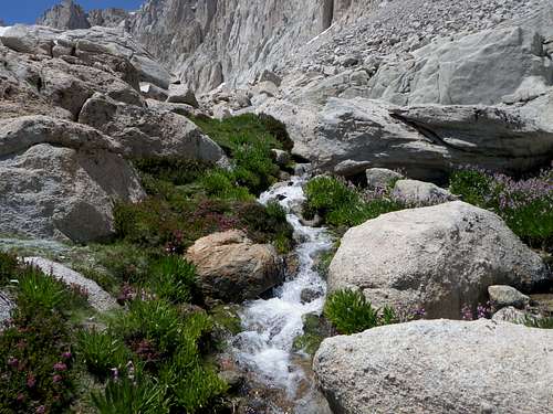 The Thompson Route rewards hikers with plentiful water
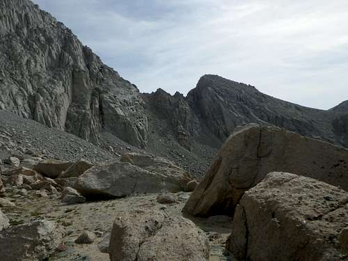 The Fin and twin chutes just to its northwest are easily visible from the route
The terrain does become steeper and looser as you approach the western end of the canyon. You might be tempted to scramble up the north side of Peak 3915, which forms the south wall of the canyon. Don’t. It is beyond the typical hiker's comfort level to gain the plateau by scrambling up the north side of Peak 3915 and then continuing west by way of the summit of said peak.
 Steepest part of the route - not as steep as it looks from here, though
Eventually, slog up the final steep portion at the western end of the canyon and emerge onto the vast sandy plateau south of Mt. Langley. Just turn right (north) and continue to your very obvious destination, now less than an hour away.
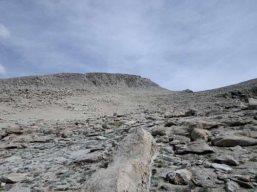 Mt. Langley looms to the north once the plateau is gained
Essential Gear
No special gear is required in a typical summer. However, in heavy snow years like 2017, steep snow might be encountered in the back of the canyon, thwarting those without appropriate snow gear.
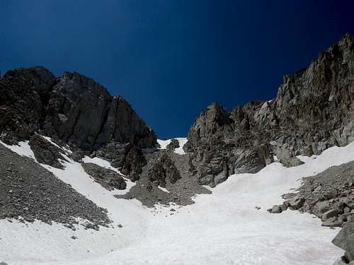 In a heavy snow year, steep snow can persist in the canyon in summer
External Links
See the main page for external links related to Mt. Langley.
Forum for information on the greater Mt. Whitney vicinity: http://www.mountwhitneyforum.com/