
|
|
Trailhead |
|---|---|
|
|
39.31310°N / 119.8975°W |
|
|
Washoe |
|
|
Spring, Summer, Fall, Winter |
|
|
8911 ft / 2716 m |
Overview
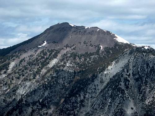 Mount Rose view from across the road on the trail to Slide Mountain
The Northern Sierras are crossed via a number of mountain passes. Donner Pass along I-80 is the most traveled and perhaps the most famous. Spooner Summit is another major pass that crosses highway 50 west of Carson City, before it winds around Lake Tahoe. Carson Pass, Luther Pass, Ebbetts Pass, and Sonora Pass are other major through routes through the Northern Sierras. However, perhaps one of the most scenic passes in this region is the Mount Rose Highway (431) which travels from Reno, Nevada over the Sierras and down the northern banks of Lake Tahoe in Incline Village, Nevada. The highpoint along this road is the Mount Rose Summit. Mount Rose Summit is not the actual summit of Mount Rose. It is the highest point along the Mount Rose Highway and a parking area with entry to a major trail network. Facilities include roughly 50 parking spaces, bathrooms, and plenty of maps and information pamphlets. The road is generally open throughout the year, closely only during major snowstorms. However, it is generally open during winter due to ski season. The main attraction is Mount Rose. At 10,776', it requires a roughly 5-mile, 2,000 foot hike from the trailhead, through some wonderful scenery, including a gorgeous waterfall.
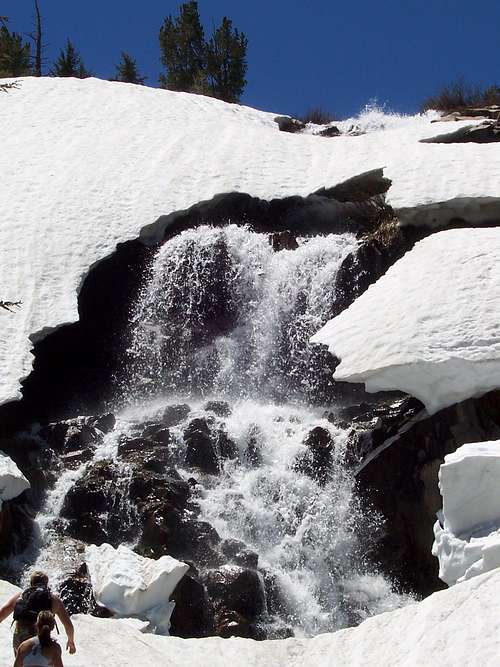 Waterfall - 2 miles up the trail
In addition, the trailhead offers access to the Tahoe Rim Trail (TRT) (see the external links section for more information). Maps of the TRT are available at the Mount Rose Summit parking area. A list of the major summits that can be accessed via an easy day hike from the trailhead are featured below.
Getting There
From Reno, Nevada take 395 South to its end, and merge to the right towards Mount Rose Highway (431) heading west. Once off of 395, it takes roughly 15-20 minutes up the winding mountain road to reach the trailhead. From Carson City, Nevada take 395 North to the junction with Highway 431 and head west. From Sacramento, California, take I-80 East past Truckee, and south on Route 267 towards Incline Village, Nevada. 431 can be accessed from town, by heading east towards Reno, Nevada.
Options
There are six noteworthy mountains that can be hiked via this trailhead. Details on these hikes can be found on their respective pages. Mount Rose 10,776'
 two and a half miles up the Mount Rose trail - heading west towards the Relay Peak Service Road
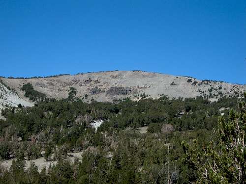
Church Peak 10,601'
 Church Peak from high up on the Mount Rose Trail
Mount Houghton 10,490'
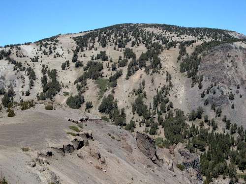 Mount Houghton from Tamarack's north ridge
Relay Peak 10,335'
 Relay Peak in June, from the Relay Peak Service Road, about two miles from the trailhead.
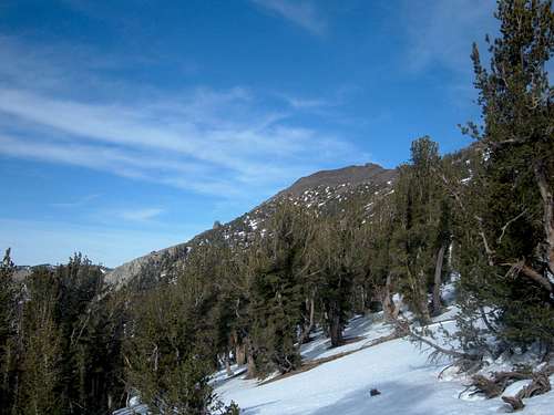
Tamarack Peak 9897'
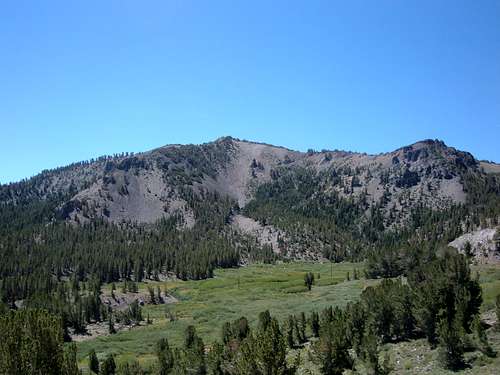 Tamarack Peak from the Mount Rose Trail - three miles from the trailhead
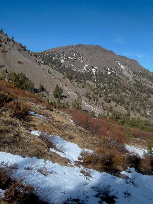
Slide Mountain 9698'
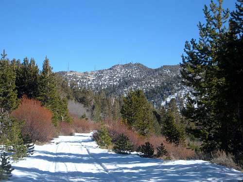 Slide Mountain in November, from the Relay Peak Service Road, about one mile from the trailhead.
External Links
Lake Tahoe Basin Management Unit Wilderness.net Wikipedia Tahoe Rim Trail Association