
Viewing: 1-1 of 1

nader - Nov 6, 2007 4:07 pm - Voted 10/10
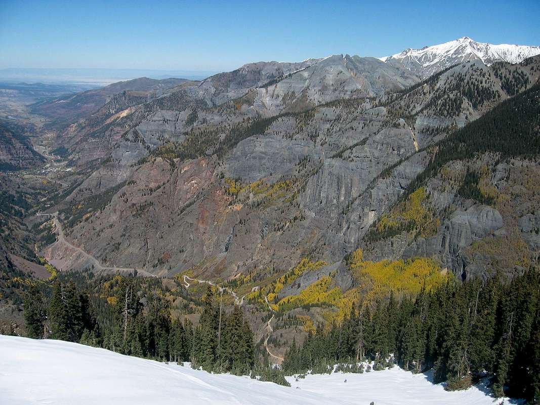
North SideGood Shot
Looks like that is the town of Ouray on the left side of the picture. The paved road is obviously Route 550. The dirt road must be part of the Alpine Loop Rd (following Uncompahgre River and not Red Mountain Creek).
Viewing: 1-1 of 1


Comments
Post a Comment