PrinceOfNorway
Offline
| Gender/Age | Male, 42 years old |
|---|---|
| Location | Orem, Utah, United States |
| Power | 26 |
| Vote Weight | 56.6% |
| Occupation | Despot |
| Website | http://princeofnorway |
A Little About Me
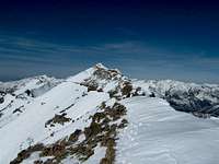
There were years that I basked in the shadows of the Wasatch mountains and never even looked at them. They were like the road, or the houses that I just passed by on my way to school or work. Finally I actually noticed them; these huge imposing structures. I love being in the mountains and that other-worldly feeling I get. I love treading where few rarely go and feeling the sun on my face as I play in the clouds on a summit ridge. There really is nothing quite like it.
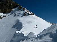
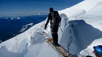
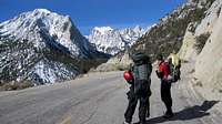
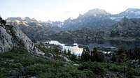
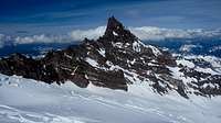
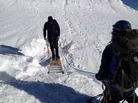
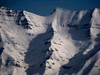
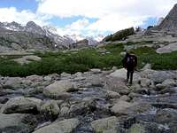
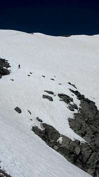
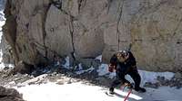
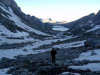
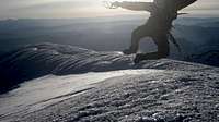
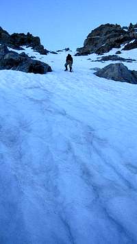
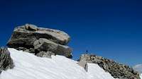
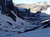
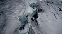
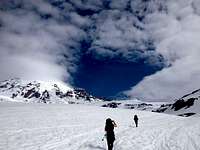
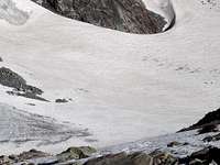
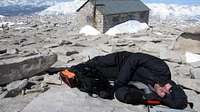
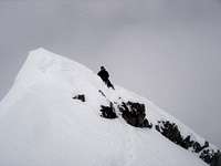
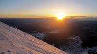
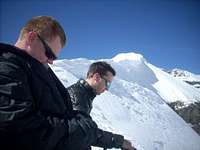
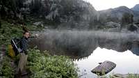
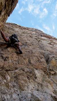
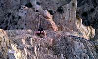
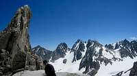
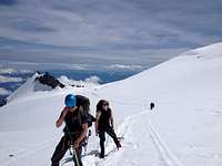
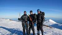
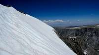
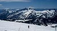
My Images


My Trip Reports (6)
- Battle on Mount Whitney's Mountaineer's Route Mount Whitney
- Battle on Mt Rainier's DC Route Disappointment Cleaver
- Battle with Gannett Peak Gannett Peak
- Leap Day on Y Mountain! Y Mountain
- Timpanogos, west face/ winter ascent. Mt. Timpanogos (UT)
- Trilogy Buttress - Lord of the Slings Rock Canyon
Climber's Logs I've Signed (114)
Mountains & Rocks (105)
- South Willow Peak Utah Western Desert Ranges
- Mine Camp Peak (UT) Utah County Highpoints
- Mill Canyon Peak Wasatch Range (South)
- Buckley Mountain Wasatch Range (South)
- Lion Head & Peak 8,753 Wasatch Range (South)
- Patsy Marley Wasatch Range (Central)
- Mt. Dromedary Wasatch Cottonwood Ridge
- Sunrise Peak Wasatch Cottonwood Ridge
- Willard Peak Utah County Highpoints
- Gilbert Peak High Uintas Wilderness
- South Kings Peak Kings-Emmons Ridge
- Iron Mountain (Park City) Wasatch Range (Central)
- Dry Mountain (UT) Wasatch Range (South)
- Dale Peak, UT. Wasatch Range (North)
- Sabie Mountain (UT) Utah Western Desert Ranges
- Grandeur Peak Wasatch Range (Central)
- West Mountain Utah 2,000 ft Prominence Peaks
- Little Baldy Wasatch Range (South)
- Kessler Peak Wasatch Cottonwood Ridge
- Maple Mountain Wasatch Range (South)
- Pioneer Peak Wasatch Cottonwood Ridge
- Scott Hill Wasatch Range (Central)
- Tri-County Peak Wasatch Range (Central)
- Lone Peak Wasatch Alpine Ridge
- Honeycomb Cliffs Wasatch Cottonwood Ridge
- Corral Mountain Wasatch Range (South)
- Mount Raymond Wasatch Range (Central)
- Gobblers Knob Wasatch Range (Central)
- Bridger Peak Utah County Highpoints
- Naomi Peak Utah County Highpoints
- Peak 10,420 Wasatch Range (Central)
- Murdock Mountain Western Uinta / Lakes Roadless Area
- East Mountain (UT) Utah County Highpoints
- "Mahogany North Peak" Wasatch Range (South)
- Peak 9491 Wasatch Range (North)
- Diamond Cinder Cone
- Francis Peak 9540 Wasatch Range (North)
- Thurston Peak Utah County Highpoints
- North Timpanogos Mt. Timpanogos (UT)
- Bomber Peak Mt. Timpanogos (UT)
- Mount Millicent Wasatch Cottonwood Ridge
- Delano Peak (UT) Utah County Highpoints
- East Provo Peak, UT. Wasatch Range (South)
- Santaquin Peak Wasatch Range (South)
- Pinyon Peak (UT) Utah Western Desert Ranges
- Park City Hill Wasatch Range (Central)
- "Chair Hill" Wasatch Range (South)
- Tintic Mountain Utah Western Desert Ranges
- Mount Majestic (Clayton Peak) Wasatch Cottonwood Ridge
- Bluebell Knoll/Boulder Mtn (UT) Utah County Highpoints
- Mount Ellen (UT) Utah County Highpoints
- Mount Wolverine & Mount Tuscarora Wasatch Cottonwood Ridge
- Bald Mountain Wasatch Range (Central)
- Borah Peak Idaho County Highpoints
- Sunset Peak Wasatch Cottonwood Ridge
- Fish Lake Hightop Utah County Highpoints
- Shingle Mill Peak Wasatch Range (South)
- Freedom Peak Wasatch Range (South)
- White Baldy Wasatch Alpine Ridge
- Mount Rainier Cascade Volcanoes
- Mount Olympus Wasatch Range (Central)
- Signal Peak Utah County Highpoints
- Boulter Peak (UT) Utah Western Desert Ranges
- Humphreys Peak U.S. State Highpoints
- Flat Top Mountain (UT) Ultra-prominence Peaks of the 48 States
- Mahogany Mountain (UT) Wasatch Range (South)
- Notch Peak Utah Western Desert Ranges
- Bald Mountain Western Uinta / Lakes Roadless Area
- Sugarloaf Peak Wasatch Alpine Ridge
- Mount Baldy (UT) Wasatch Alpine Ridge
- Hidden Peak (Utah) Little Cottonwood Canyon
- Mount Superior & Monte Cristo Wasatch Cottonwood Ridge
- Mount Dana Yosemite National Park
- Mount Tukuhnikivatz La Sal Mountains
- Mt. Peale Utah County Highpoints
- Kyhv Peak (formerly Squaw Mountain/Squaw Peak) Wasatch Range (South)
- Buffalo Mountain Wasatch Range (South)
- Broads Fork Twin Peaks Wasatch Cottonwood Ridge
- Bald Mountain (NV) Great Basin National Park
- Jeff Davis Peak Great Basin National Park
- Wheeler Peak Nevada County Highpoints
- Red Baldy Wasatch Alpine Ridge
- Fool Creek Peak Utah Western Desert Ranges
- Powerhouse Mountain (UT) Wasatch Range (South)
- Box Elder Peak Wasatch Range (South)
- Angels Landing Zion National Park
- Provo Peak Wasatch Range (South)
- Big Baldy (Timpanogos) Wasatch Range (South)
- Bald Mountain (Wasatch) Wasatch Range (South)
- Monument Peak Utah County Highpoints
- South Tent Mountain (UT) Utah County Highpoints
- Deseret Peak Utah County Highpoints
- North Peak Wasatch Range (South)
- American Fork Twin Peaks Utah County Highpoints
- Pfeifferhorn Wasatch Alpine Ridge
- Spanish Fork Peak Wasatch Range (South)
- Mount Nebo Utah County Highpoints
- Y Mountain Wasatch Range (South)
- Cascade Mountain Wasatch Range (South)
- Loafer Mountain (UT) Wasatch Range (South)
- Gannett Peak U.S. State Highpoints
- Kings Peak Kings-Emmons Ridge
- Mount Elbert Colorado 14ers
- Mount Whitney California County Highpoints
- Mt. Timpanogos (UT) Wasatch Range (South)
Routes (7)
- Disappointment Cleaver Mount Rainier
- Deer Creek trail Box Elder Peak
- Henry's Fork via Anderson Pass Kings Peak
- Mountaineer's Mount Whitney
- Timpooneke Trail Mt. Timpanogos (UT)
- Aspen Grove Trail Mt. Timpanogos (UT)
- SW Face via Dry Cr-Ginsu Ridge Variation Mt. Timpanogos (UT)
Canyons (2)
- The Subway Zion National Park
- Coyote Gulch, (Escalante) Grand Staircase-Escalante National Monument
My Lists
Content loading here...
Messages I Posted/ Editable Objects
Reviews I Posted/Reviews Posted to my Gear
Objects Others Have Attached to My Objects
Content loading here...
Photos Others Have Attached to My Objects
Content loading here...