Travis Atwood
Offline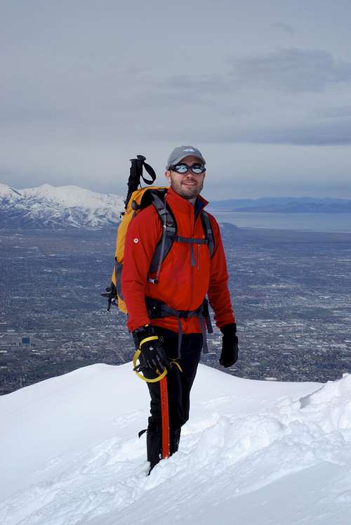
| Gender/Age | Male, 42 years old |
|---|---|
| Location | Logan, Utah, United States |
| Power | 34 |
| Vote Weight | 61.26% |
| Occupation | Graphic Designer / Student |
| Website | http://www.travisatwooddesign.com |
A Little About Me
See the world through your own eyes.
| Partner Details: | I'm always looking for people to go with. If interested, shoot me an email. |
|---|---|
| 2011 Trip Wish List: | |
| Long Term Goals: |
My Images
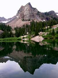

My Mountains & Rocks (1)
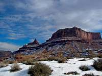
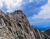
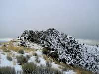
- Providence Peak Bear River Range
My Trip Reports (1)
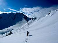
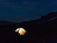
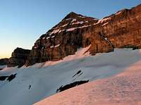
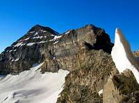
- Timpanogos by Moonlight Mt. Timpanogos (UT)
My Albums (1)
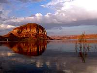
My Canyons (2)
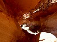
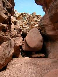
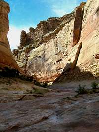
- Chute Canyon San Rafael Swell
- Crack Canyon San Rafael Swell
Climber's Logs I've Signed (50)
Areas & Ranges (1)
- Bryce Canyon National Park U.S. National Parks
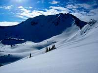
Mountains & Rocks (39)
- Pfeifferhorn Wasatch Alpine Ridge
- White Baldy Wasatch Alpine Ridge
- Mount Olympus Wasatch Range (Central)
- Box Elder Peak Wellsville Mountains
- Naomi Peak Utah County Highpoints
- Providence Peak Bear River Range
- Logan Peak (Mount Logan), UT Bear River Range
- Red Top Mountain Wasatch Range (Central)
- Obelisk (Hogum Divide) Wasatch Range (Central)
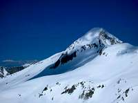
- Kings Peak Kings-Emmons Ridge
- West Gunsight (a.k.a. Dome) Peak High Uintas Wilderness
- Red Baldy Wasatch Alpine Ridge
- Grandeur Peak Wasatch Range (Central)
- Mt. Dromedary Wasatch Cottonwood Ridge
- Sunrise Peak Wasatch Cottonwood Ridge
- Sugarloaf Peak Wasatch Alpine Ridge
- American Fork Twin Peaks Utah County Highpoints
- Hidden Peak (Utah) Little Cottonwood Canyon
- Mount Baldy (UT) Wasatch Alpine Ridge
- Devil's Castle Wasatch Alpine Ridge
- Mount Majestic (Clayton Peak) Wasatch Cottonwood Ridge
- Preston Peak Wasatch Range (Central)
- Pioneer Peak Wasatch Cottonwood Ridge
- Sunset Peak Wasatch Cottonwood Ridge
- Mount Wolverine & Mount Tuscarora Wasatch Cottonwood Ridge
- Mount Millicent Wasatch Cottonwood Ridge
- Mount Superior & Monte Cristo Wasatch Cottonwood Ridge
- Reids Peak Western Uinta / Lakes Roadless Area
- Bald Mountain Western Uinta / Lakes Roadless Area
- Broads Fork Twin Peaks Wasatch Cottonwood Ridge
- North Timpanogos Mt. Timpanogos (UT)
- Ensign Peak Wasatch Range (North)
- Frary Peak (Antelope Island) Utah Western Desert Ranges
- Sundial Peak Wasatch Cottonwood Ridge
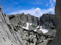
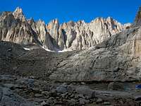
- Mount Muir California 14ers
- Mount Whitney California County Highpoints
- Mt. Timpanogos (UT) Wasatch Range (South)
- Lone Peak Wasatch Alpine Ridge
- Angels Landing Zion National Park
Routes (4)
- Tanners Gulch Mt. Dromedary
- Salt Lake Slips Big Cottonwood Canyon
- Brighton Traverse Mount Wolverine & Mount Tuscarora
- Bullion Divide American Fork Twin Peaks
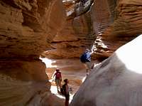
Canyons (6)
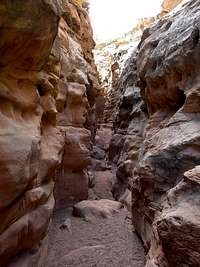
- Ding and Dang Canyons San Rafael Swell
- Little Wild Horse and Bell Canyons San Rafael Swell
- Grand Gulch Cedar Mesa, Utah
- Chute Canyon San Rafael Swell
- Crack Canyon San Rafael Swell
- Goblin Valley San Rafael Swell
My Lists
Content loading here...
Messages I Posted/ Editable Objects
Reviews I Posted/Reviews Posted to my Gear
Objects Others Have Attached to My Objects
Content loading here...
Photos Others Have Attached to My Objects
Content loading here...