view from Glenns Lake (Head)

view from Glenns Lake (Head)

The view from the backcountry campsite at head of Glenns Lake is dominated by the towering north face of Mount Merritt, at right. Some of the route is obscured from this vantage point, but you can still get a good idea for the approach from Mokowanis Lake. It begins out-of-frame to the right and ascends to a rounded, vegetated shoulder below and to the right of Merritt's summit (visible by enlarging the photo). From there, the route ascends directly up the loose west bowl towards the low point on the summit ridge (just above center). The remainder is on the opposite side of the ridge and is not visible. Please click here for a hand drawn route diagram by J. Gordon Edwards that helps better illustrate the route. August 26, 2011
distressbark
on Dec 14, 2016 4:15 pm
Image ID: 990009

Comments

Post a Comment
Viewing: 1-2 of 2
RoryKuykendall

RoryKuykendall - Dec 21, 2016 9:53 pm - Voted 10/10
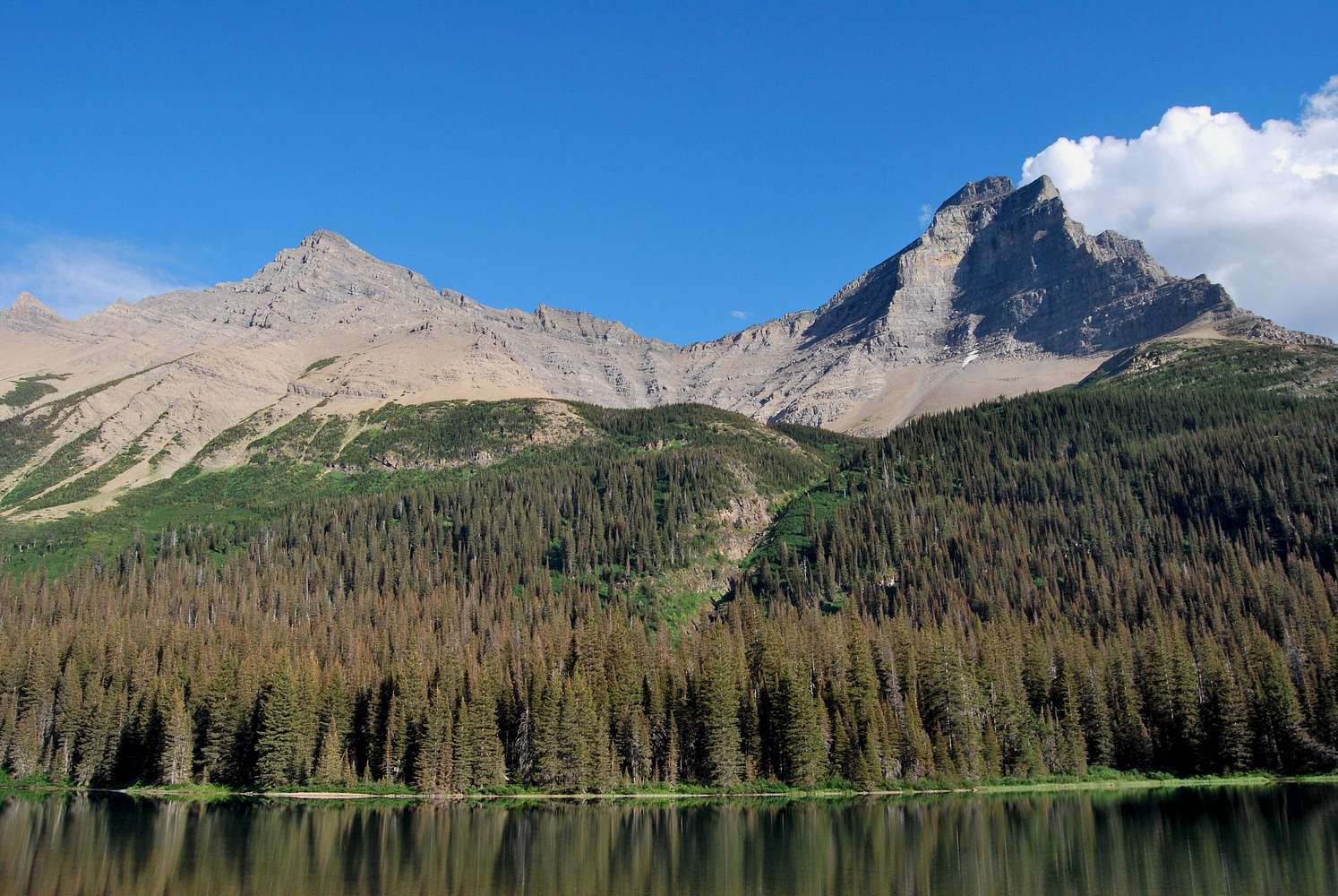
Route

So does the route traverse across the scree underneath those cliffs?

distressbark

distressbark - Dec 22, 2016 11:57 am - Hasn't voted

Re: Route

Basically, the route climbs up from out-of-frame to the right towards a rounded shoulder of rock (just below and to the right of Merritt's summit). It then traverses to the left (obstructed from view) across a large talus field towards the head of the cirque. From there, the route more or less heads straight up to the low point on the northeast ridge, which you can make out on the skyline.

I went ahead and added a link to the Edwards route diagram too, so hopefully that helps.

Viewing: 1-2 of 2