Welcome to SP!  -   
 
 MbPost.com -- It's SP for Mountain Biking!
Areas & Ranges·Mountains & Rocks·Routes·Images·Articles·Trip Reports·Gear·Other·People·Plans & Partners·What's New·Forum

The Diving Board, a... [ Sizes: Orig | Med | Small | Thumb ]
The Diving Board, a...
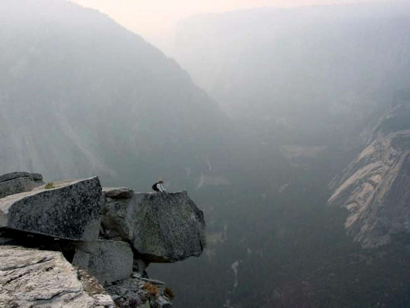
The Diving Board, a precariously perched rock extending out from Half Dome's West Shoulder (it's not on Half Dome's summit as many believe). This is the culmination of the west branch of The Slabs route. Yosemite Valley is below in the haze from a controlled burn. Oct 18, 2002


Comments

No comments posted yet.


Sign in to post!

Don't have an account? Register now.


Rate This Image
Current Score: 86.93

Log In To Vote
 Half Dome (Mountain/Rock)


« PREV

Viewing
#160 of 548
GALLERY

NEXT »

 Bob Burd's Image Gallery


« PREV

Viewing
#222 of 588
GALLERY

NEXT »


 The Slabs (Route)


Image Data

Submitted by Bob Burd
on Nov 10, 2002 3:49 pm

Image ID: 13852
Hits: 1674 

Lat/Lon: 37.74610°N / 119.5319°W


"The Approach is Everything"

© 2006 SummitPost.org. All Rights Reserved.