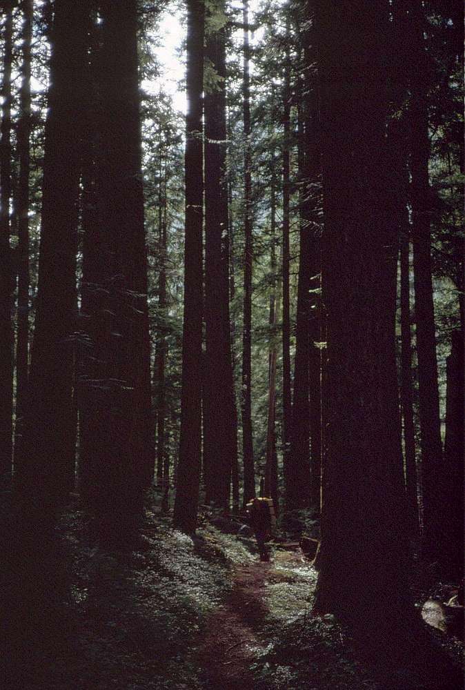
Welcome to SP!  -   
 
 MbPost.com -- It's SP for Mountain Biking!
Areas & Ranges·Mountains & Rocks·Routes·Images·Articles·Trip Reports·Gear·Other·People·Plans & Partners·What's New·Forum
Your object was successfully created.

[ Add another Image to Ptarmigan Traverse (Mountain/Rock) ]

Downey Creek trail [ Sizes: Orig | Large | Med | Small | Thumb ]
Downey Creek trail
By the end of the Ptarmigan Traverse you're ready for some easy, level trail. The Bachelor Creek trail ends at its junction with the Downey Creek trail - 6+ miles (10km), mostly level and maintained for hikers and horses. In 1991 winter storms had left many large trees blocking the trail, and the road below was washed out 7 miles below the trailhead. Check with Mount Baker National Forest for road & trail conditions.


Comments

No comments posted yet.


Sign in to post!

Don't have an account? Register now.


Rate This Image
Current Score: 87

Log In To Vote
 Ptarmigan Traverse (Mountain/Rock)


« PREV

Viewing
#81 of 133
GALLERY

NEXT »

 Eric Sandbo's Image Gallery


« PREV

Viewing
#197 of 372
GALLERY

NEXT »


 Stage 5 (Route)


Image Data

Submitted by Eric Sandbo
on Mar 5, 2006 6:48 am

Image ID: 178534
Hits: 682 

Lat/Lon: 48.29910°N / 121.1921°W

Image Type(s): Hiking


"That rug really tied the room together."   --The Dude   

© 2006 SummitPost.org. All Rights Reserved.