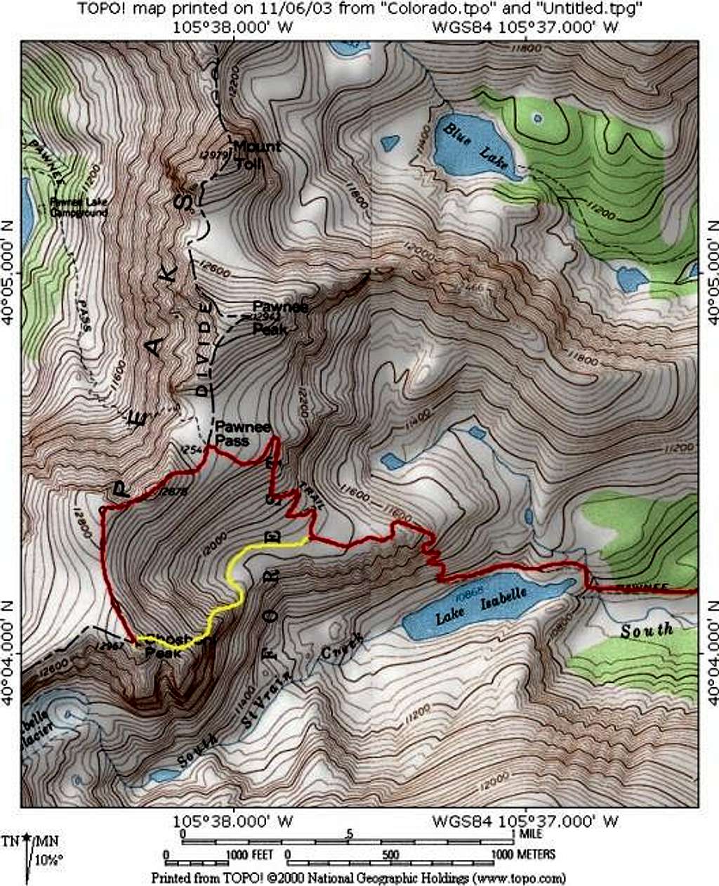
This topo shows the standard...
This topo shows the standard Pawnee Pass route in red and the east ridge route in yellow.
Pawnee Pass Route-10 miles and 2,850-ft -mostly class 1 with a short section of class 2 while traversing Point 12,878-ft.
East Ridge Route-9 miles and 2,600-ft-class 1 approach and easy class 3 climb of the east ridge.
Loop route- 9.5 miles and 2,800-ft.


