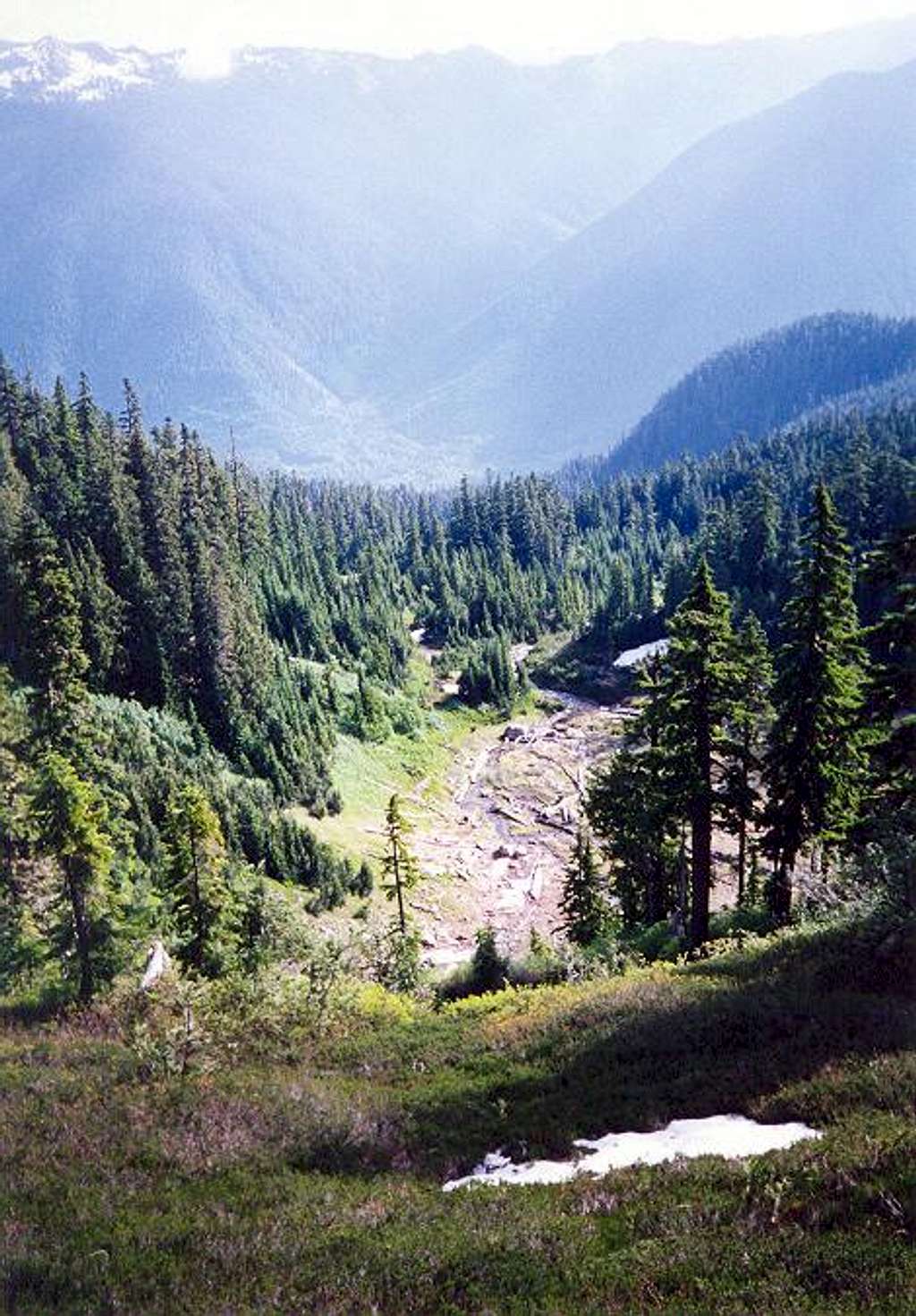
This is the basin at ~4,700...
This is the basin at ~4,700 ft at the end of the Sloan Peak Trail. Far below (3,000 feet lower) is the valley bottom where Lost Creek (extending away from the camera) merges with the North Fork Sauk River. July 14, 1995.


