Welcome to SP!  -   
 
 MbPost.com -- It's SP for Mountain Biking!
Areas & Ranges·Mountains & Rocks·Routes·Images·Articles·Trip Reports·Gear·Other·People·Plans & Partners·What's New·Forum

This is the upper portion of... [ Sizes: Orig | Small | Thumb ]
This is the upper portion of...
This is the upper portion of the East Gully below the notch between the main summit crest and the Southeast Spire. The ledge we rappelled to is visible. Taking this ledge left gets you to the East Gully, which we then easily downclimbed facing out to get to the south side of the drainage (the drainage to Ingalls Creek). We were on our way over to Colchuck Peak. The distance going back over Colchuck thence down to Colchuck Lake was about the same as going back the way we came. May 2, 2004.


Comments

[ Post a Comment ]
Viewing: 1-1 of 1

clarityGood example

Voted 10/10

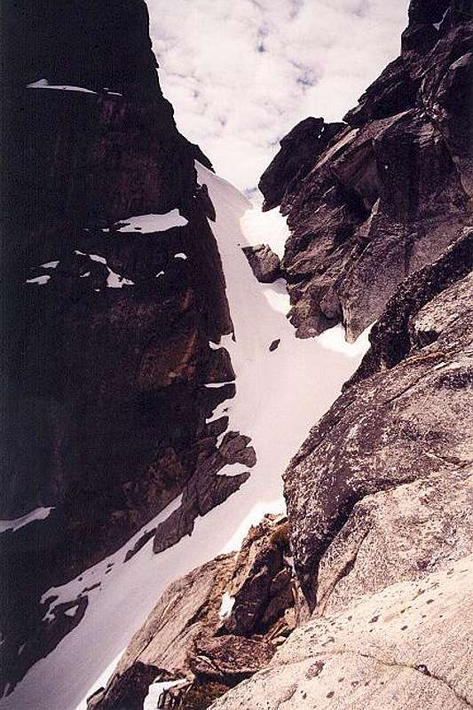
of what I wish more pictures presented, route info. Keep it up!
Posted May 6, 2004 2:14 am

Viewing: 1-1 of 1

Sign in to post!

Don't have an account? Register now.


Rate This Image
Current Score: 87.24

Log In To Vote
 Argonaut Peak (Mountain/Rock)


« PREV

Viewing
#27 of 69
GALLERY

NEXT »

 Klenke's Image Gallery


« PREV

Viewing
#582 of 4792
GALLERY

NEXT »


 Northeast Couloir (Route)


Image Data

Submitted by Klenke
on May 5, 2004 3:26 pm

Image ID: 52098
Hits: 802 

Lat/Lon: 47.47030°N / 120.8603°W


"Good teaching is one-fourth preparation and three-fourths theater."

© 2006 SummitPost.org. All Rights Reserved.