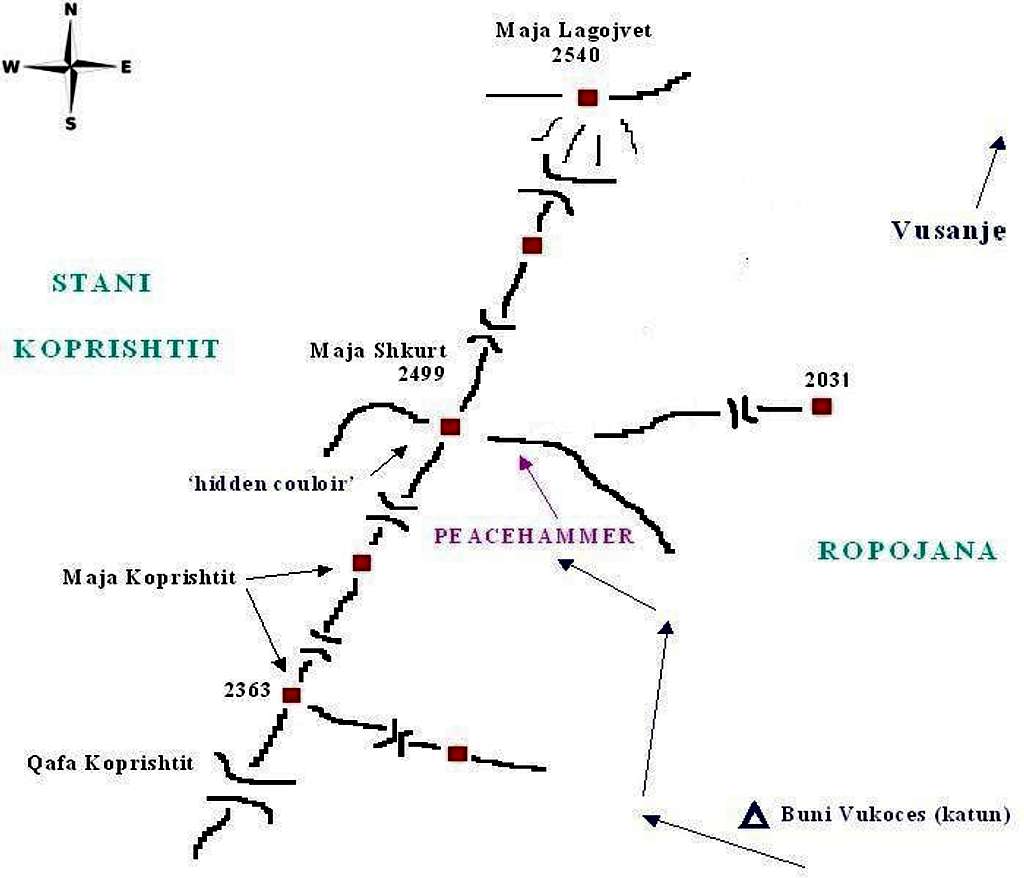
A rough hand-made map of the Maja Shkurt summit area. Distance proportions and some details are certainly not precise, it just gives a general overview. Dark blue arrows - approach, purple arrow - the new route Peacehammer. Buni Vukoces - summer shepherds' settlement (katun). Elevations (except Maja Lagojvet) are based on available maps. The summit of Maja Shkurt is probably in fact a little higher (2510-2520 m). The name Maja Koprishtit is not confirmed. Use this map just for orientation and not as a cartographic reference. Any corrections are welcome.
