Toggle navigation
Mountains
Routes
Images
Trip Reports
Forum
What's New
People
Areas & Ranges
Articles
Trailheads
Canyons
Huts & Campgrounds
Albums
Logistical Centers
Fact Sheets
Lists
Custom Objects
Gear
Plans & Partners
WELCOME TO SUMMITPOST
SIGN IN
REGISTER
Glacier National Park, MT
Additional Parents
Image
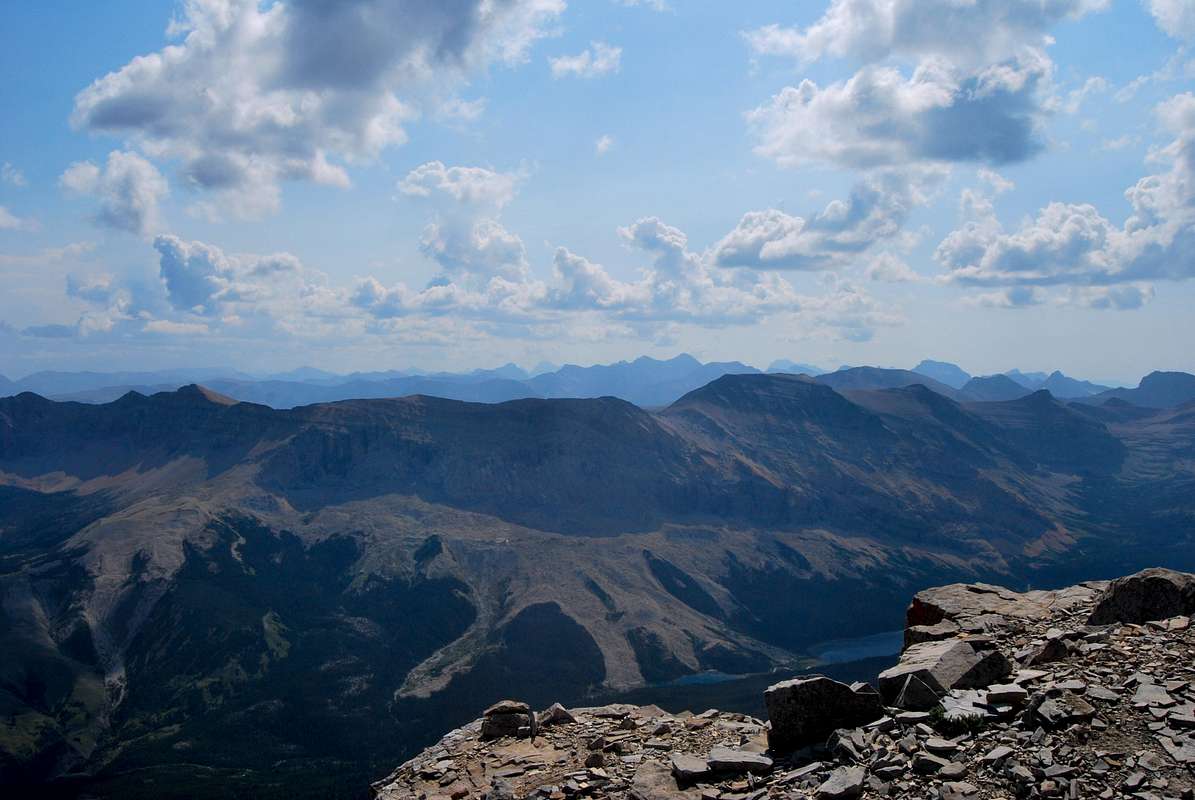
views to the south
View High-Resolution Image
views to the south
From the summit of Chief Mountain. Slide Lake, formed by a massive rock slide off Yellow Mountain in 1914, is visible in the center of the photo. September 1, 2009
« PREV
NEXT »
distressbark
on
Nov 4, 2011 9:27 am
Comments & voting
Other parents
Lat/Lon:
48.93234°N / 113.6088°W
Image ID:
757878
2263 Hits
73.06
% Score
3
Votes
Log in to vote
Comments
No comments posted yet.
to post!
Don't have an account?
Glacier National Park, MT
(Area/Range)
« PREV
Viewing
#889 of 2007
GALLERY
NEXT »
distressbark's Image Gallery
« PREV
Viewing
#296 of 598
GALLERY
NEXT »
Chief Mountain (MT)
(Mountain/Rock)
Loading....
Yellow Mountain
(Mountain/Rock)
Loading....
Lee Ridge Approach
(Route)
Loading....
Put The Load Right On Me (Glacier National Park 2009)
(Album)
Loading....
×
You need to login in order to vote!
User Name
Password
Remember me
Forgot your password?
Log me out when I close my browser.
Keep me logged in all the time.
sign in as a user
Don't have an account?
Register now for FREE
Rating available
Suggested routes for you
People who climb the same things as you
Comments Available
Create Albums
Register Here


