Waterton Lake

Waterton Lake

Looking south from Waterton Park Townsite at sunset, this is Waterton Lake. The international boundary between Canada and the U.S. is approximately half way down the lake, which is 10 miles long. Mount Cleveland (highest point in GNP and Waterton) is the large, triangle-shaped mountain (entirely in sunlight) at left center.
Photo by Vernon, August 9, 2005.
Saintgrizzly
on Mar 7, 2006 8:53 pm
Image ID: 179292

Comments

Post a Comment
Viewing: 1-1 of 1
Dow Williams

Dow Williams - Mar 7, 2006 10:32 pm - Voted 9/10
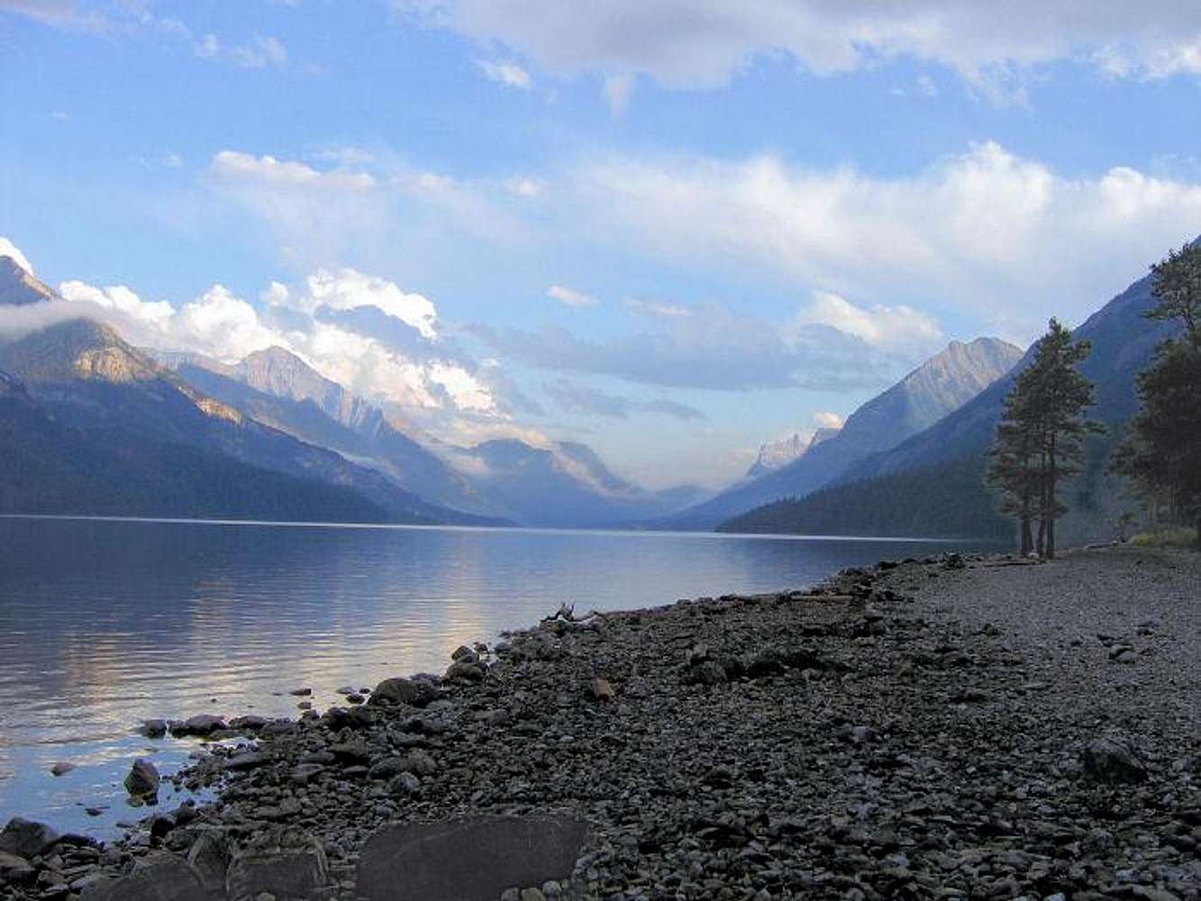
Camp Site...

Even though this is the town campsite, I don't mind camping at this location Saint, enjoying the sunsets (or thunderstorms) over Upper Waterton Lake. Nice Photo.

Viewing: 1-1 of 1