-
 6853 Hits
-
 80.49% Score
-
 12 Votes
|
|
Route |
|---|---|
|
|
36.76100°N / 118.331°W |
|
|
Scrambling |
|
|
Summer |
|
|
Half a day |
|
|
Class 4 |
|
|
Overview
Judging from summit logs here and on the peak, I think most people climbing Independence Peak use the north ridge or head up the west slopes more or less directly to the summit. From what I can glean about the north ridge, however, there is challenging route-finding, and, having descended the west slopes, I can attest to the fact that there is a great deal of loose scree that makes for a fast descent but which might be grueling to ascend.
This route, then, the west face and south ridge from Robinson Lake, is an alternative to the other two that does not have the route-finding challenges of the north ridge, has less tiring scree to ascend than the west slopes do while only being a little longer, and features some excellent ridgetop scrambling anywhere from Class 3-5 depending on the exact route.

Getting There
From Independence, drive west out of town, following signs for Onion Valley. It's about 13 miles to the road's end, where there is a large parking lot and a campground. The trail starting from the parking lot is not the one you want. Instead, you have to walk through the campground to get to the trail, which is signed.
Route Description
Note: Your map might show the trail crossing a stream and then heading east before taking a swing to the north. The east-leading section of trail was closed off in July 2012, and instead the trail ascended steeply straight north after the stream crossing. Should you miss this and be on the old trail, though, you will still get to your destination.
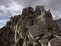
The trail climbs, relentlessly at times, for about a mile to a rise above Robinson Lake. Instead of dropping to the lake, leave the trail and head up the western slopes of Independence Peak. Loose talus is unavoidable, but there are also sections of solid rock that make the going easier. Eventually, with no harder than Class 3 scrambling, you should reach the south ridge about a quarter-mile from the summit.
Now the fun begins. If you stay on or very close to the crest, as I did, you will get to play on some exposed Class 4 and even "easy" Class 5 sections en route to the summit block. If, however, things get too exposed or difficult for your taste, you can drop a bit on the east side and eventually work your way back up on terrain that should not exceed Class 3.
 |
 |
 |
For the descent, I recommend heading dropping to the north side of the summit block and then going down the west face. There is some Class 3/4 going at first, but once you hit the scree, you're gonna fly.
In all, the route is a little less than two miles to the top, with about 2600' of elevation gain.
Essential Gear
It always makes sense to have your axe and crampons in the car when you're heading into the Sierra Nevada. However, you can clearly see the route from the parking area and can judge whether you actually need to pack them. Inexperienced climbers might want a rope and gear to rappel in some spots, but experienced climbers will probably not feel the need.
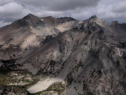
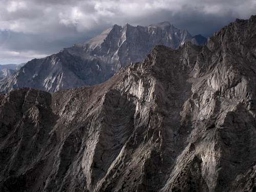
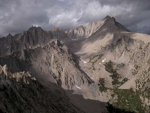
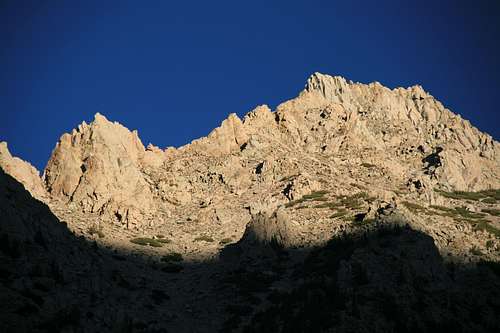
Views from the Route