
|
|
Route |
|---|---|
|
|
46.48040°N / 14.08410°E |
|
|
Hiking, Mountaineering |
|
|
Most of a day |
|
|
Walk-up |
|
|
Approach
The starting point is the mountain hut Dom na Pristavi (975m) where you can park because in Winter the macadam road is not ploughing. In the snowless season you can drive over this macadam road over the road some kilometers forward.Dom na Pristavi hut is approachable from Jesenice.
 ..
.. .
.Route Description
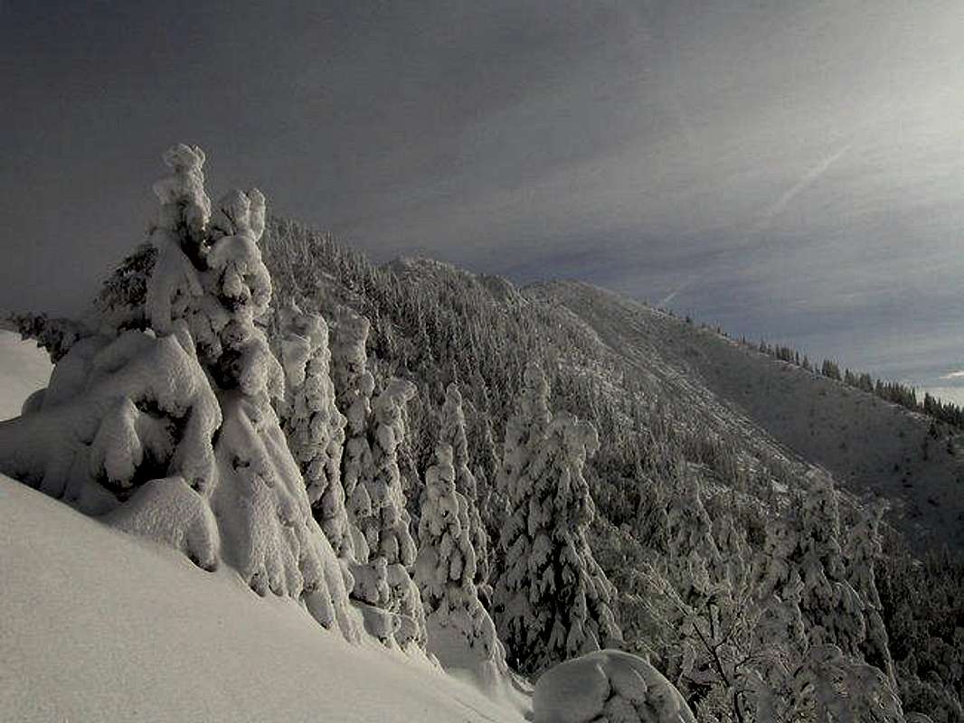
On the NW ridge of Struska in Winter season.
When we park the car somewhere on the macadam road we continue over the road and soon we come on the meadow Pusti rovt and then we follow the signposts on the pass Kochna (1469m). On the pass we turn to the SE direction and start walking on the nice ridge. Somewhere we walk in the forest or on the nice grassy slopes.
We come on the point where we have two posssibilities how to continue. We can decide that we continue on the marked path and we cross below the Korenscica (1764m) and we come on the meadow Belska planina below the summit. From here we reach the top of the Struska over the nice grassy slopes. The second possibility is that when the marked path cross below Koresncica we go towards up on the Korenscica and then over the upper plateau we reach the summit of Struska from the Korenscica.
For the descend we can choose the same route or the route (marked path) over the SE ridge on pass Medvedjak (1698m) and then back on Slovenian side to the hut Dom na Pristavi.
 ..
..