
-
 3391 Hits
-
 75.81% Score
-
 6 Votes
|
|
Route |
|---|---|
|
|
46.78841°N / 10.49177°E |
|
|
Hiking, Scrambling |
|
|
Summer, Fall |
|
|
Half a day |
|
|
Serious Scramble |
|
|
Overview
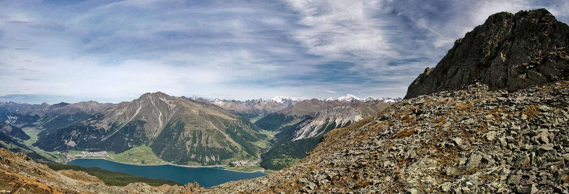
 Zehnerkopf as seen from the Schöneben ski runs Zehnerkopf as seen from the Schöneben ski runs |
The normal route to Zehnerkopf / Cima Dieci is by far the easier of the two routes though it is still far from easy. It is short - from the Schöneben / Bellpiano meadows you simply have to scramble for 300m - still those 300m are pretty hard to get up to. The slopes of Zehnerkopf are very brittle and the ascent follows a very steep scree filled or scree covered gully. Exposure is less of a problem than the lack of protection or the danger of rockfall.
On some maps and in some guidebooks the route is marked as a ferrata but apart from an odd hook here and there ther is no protection at all.
Getting There
  |
The main page describes the itinerary for the Schöneben ski runs, where the climb starts. You need to cross the runs towards the base of the mountain where both the normal route as well as the south face route trailhead can be found.
Route Description
 Zehnerkopf and Grubenkopf with Muttler in their midst
- Start altitude: 2087m
- Summit altitude: 2675m
- Prevailing exposure: E
- Type: Hike and UIAA I Scramble
- Protection: None
From the top station of the Schöneben lift follow the sign to Zehnerkopf. The route follows the maintenance road across the ski runs until it reaches the north face of the mountain. Here a steep scramble leads into a notch between Zehnerkopf and Grubenkopf (eastern neighbour). Right before you reach the saddle a red arrow points in the direction of Zehnerkopf and this is the starting point of the actual climb. It can easily be overlooked so watch out. Otherwise you'll head in the direction of the south ridge traverse.
The bottom part of the climb leads you across the blocky rocks at the base of the mountain. It winds through them, already steeply ascending the slope. After a while (20 min) y traverse leads you south to the base of the scree gully (or couloir) which heads right up to the ridge to the immediate south of the summit.
The climb of the gully is hazardous - as those kind of climbs usually are. A worn path crisscrosses the gully from left to right and back several times. The most serious places are these crossings. While at its sides the gully is quite solid, in its middle you'll have to cross steep scree slopes. Slip here and you'll go down the chute like a cannonball. Rockfall also is to consider if several parties are headed for the summit along this route.
From the top of the gully you have only a short ridge to traverse to get to the real summit. A short descent leads you to the summit cross in the north-east.