

Comments
No comments posted yet.
|
|
Album |
|---|---|
|
|
Hiking, Scenery, Panorama |
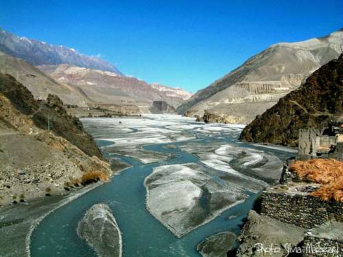
Annapurna Trail from Besisahar to Jomsom across Thorung Là m. 5416
These images relate the famous and very satisfactory Annapurna Trail from Besisahar 823 m in Marysandi Valley to Jomosom 2760 m in Kali Gandaki Valley, a fine trek leading across the Thorung Là, a pass at 5416 m., one of the highest point in the world where a well skilled hiker can rise without climbing neither scrambling. This trek-permit allows also the ascent of some peaks situated along the trail - as Pisang Peak and Chulu Peaks - without paying an additional fee.
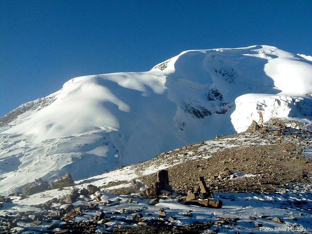
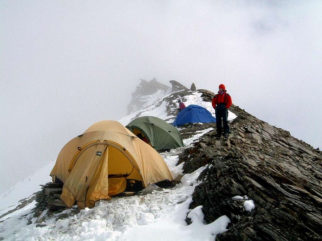
The cross trail requests a minimum of 10 days trail – you must forecast 13 days if you want to spend at least two or three resting days - without planning any climb to the summits. Notwithstanding a very severe train during the previous spring and summer, we were not able to climb Pisang Peak, a 6094 meters high steep mountain situated over the homonymous small village, because of the weather’s condition. The fortune didn’t help us, so our ascent to Pisang Peak stopped at about 5800 m., at the late mountain’s shoulder.
First day – From Besisahar 823 m to Ngadi 930 m
Second day - From Ngadi 823 m to Jagat 1341 m
Third day – From Jagat 1341 m to Dharapani 1943 m
Fourth day – From Dharapani 1943 m to Chame 2710 m
Fifth day – From Chame 2710 m to Pisang 3240 m
Sixth day – From Pisang 3240 m to Manang 3540 m
Seventh day – From Manang 3540 m to Yak Kharka 4020 m
Eight day – From Yak Kharka 4020 m to Thorong Phedi 4420 m
Ninth day – From Thorong Phedi 4420 m to Thorung Là 5416 m and to Muktinath 3800 m
Tenth day – From Muktinath 3800 m (Ranipauwa) to Jomsom 2760 m
 Jhong Khola valley seen from Kagbeni"Gompa" Jhong Khola valley seen from Kagbeni"Gompa" |
 Dhaulagiri seen from Kali Gandaki Dhaulagiri seen from Kali Gandaki |
 Donkeys caravan near Muktinath Donkeys caravan near Muktinath |
"Trekking in Nepal" - A Lonely Planet Guidebook