
Comments
No comments posted yet.
|
|
Trip Report |
|---|---|
|
|
34.28403°N / 114.20507°W |
|
|
Download GPX » View Route on Map |
|
|
Feb 13, 2024 |
|
|
Hiking, Mountaineering |
|
|
Winter |
Rank: Peak 1896 ft is California’s 9512th highest ranked peak
Prominence: 556 ft
Peak 1896 ft had come to my attention while I was exploring the Whipple Mountains of southeast California on Google Earth. I had not been able to find any climbing information about it. While the peak seemed to be on public lands, finding a starting point for the hike proved difficult. From the north it was blocked by Copper Basin Reservoir facilities and from the south by private property on Parker Dam Road. By carefully studying the map, I came up with a path that started at Copper Basin Dunes OHV Open Area on Parker Dam Road and went up to a saddle then down into a drainage to reach the base of the mountain. The couloir that I had planned to climb turned out to be very steep and filled with uninviting bushes making me give up on my goal of reaching the summit.
Hike Length: 7.15 miles
Total Ascent: 1378 ft
February 13, 2024
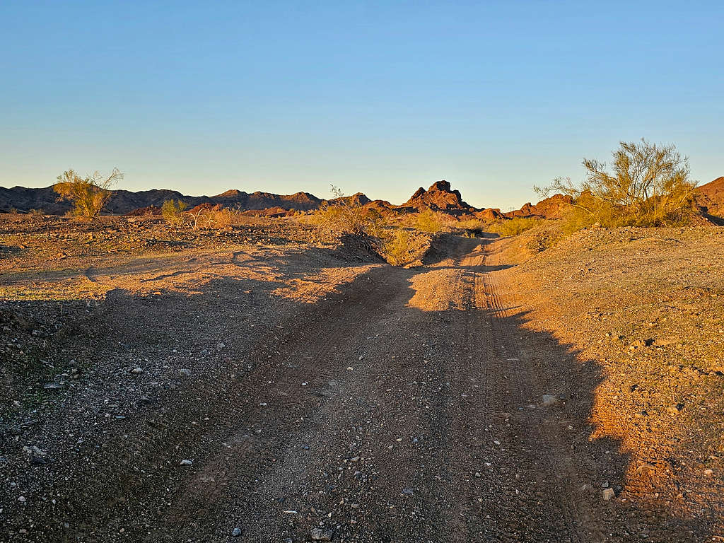
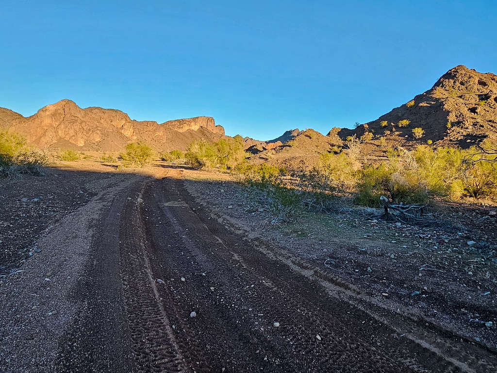
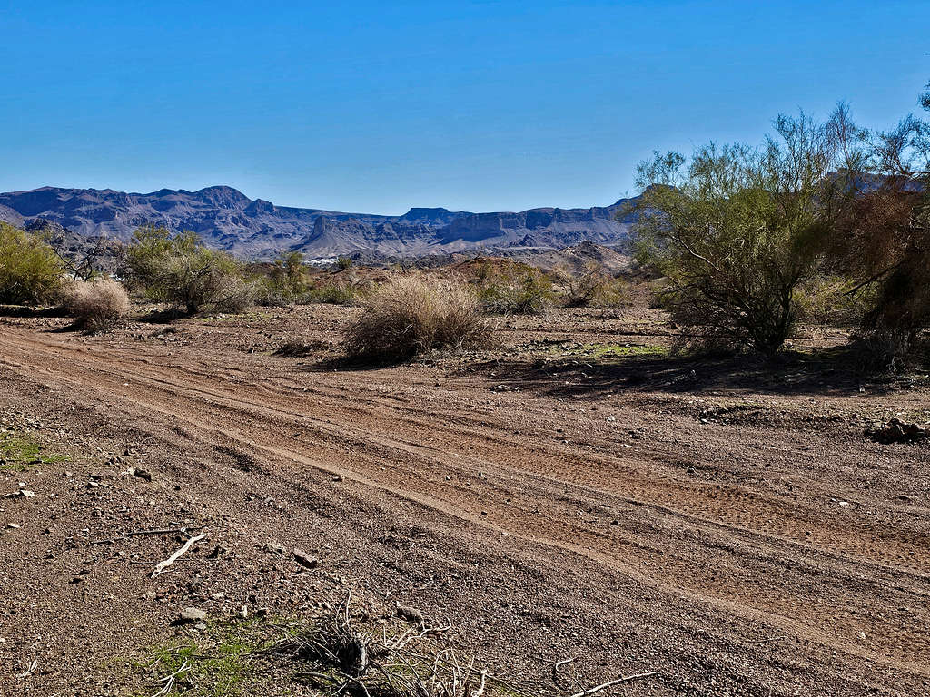
Left the vacation rental house in Big River, California around 6:00 AM (Sunrise 6:30) and drove on Parker Dam Road to Copper Basin Dunes OHV area, elevation 405 ft. Started my hike at 6:27 AM by following a dirt road west. I was worried about running into loud annoying off highway vehicles but saw no one at that hour.
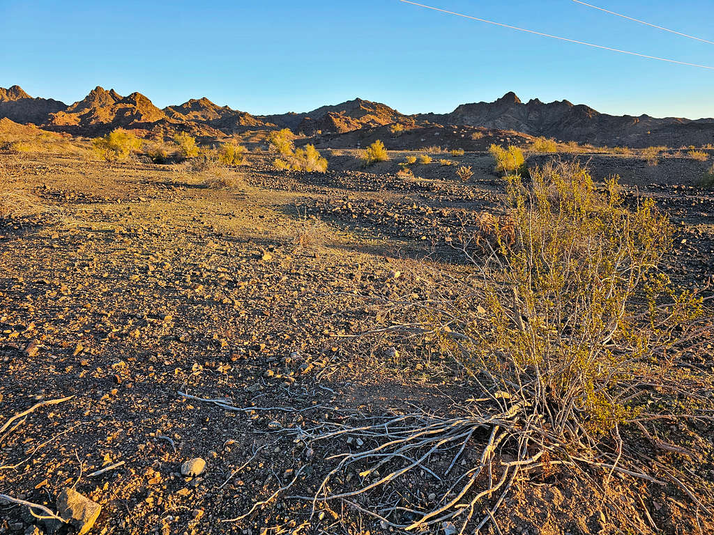
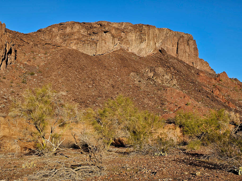
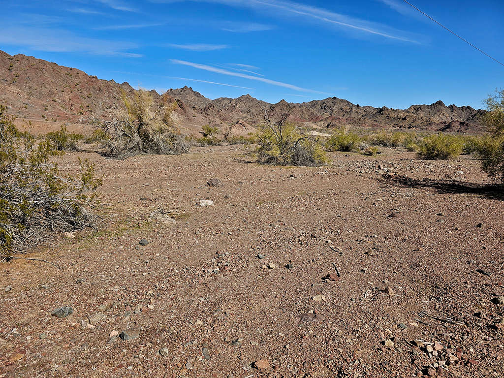
Looking at the mountains to the north of the road. The jagged double summit mountain on the left side of the picture is Peak 1896 ft but at that hour, I did not know that.
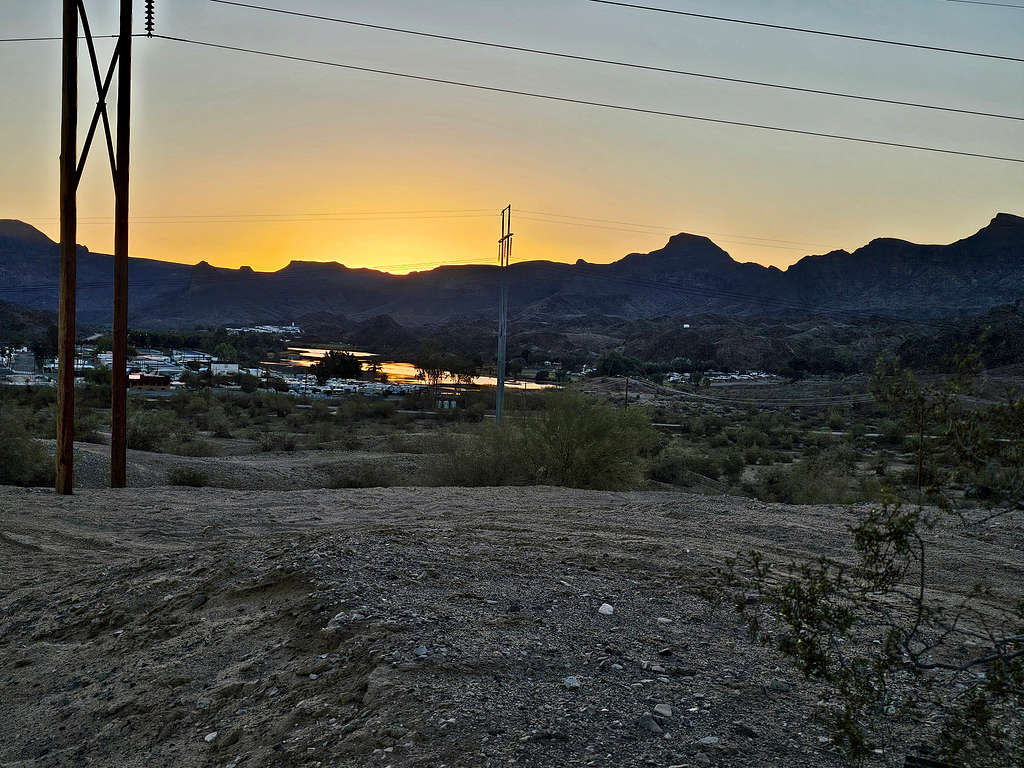
Looking east at Colorado River and the communities south of Parker Dam.
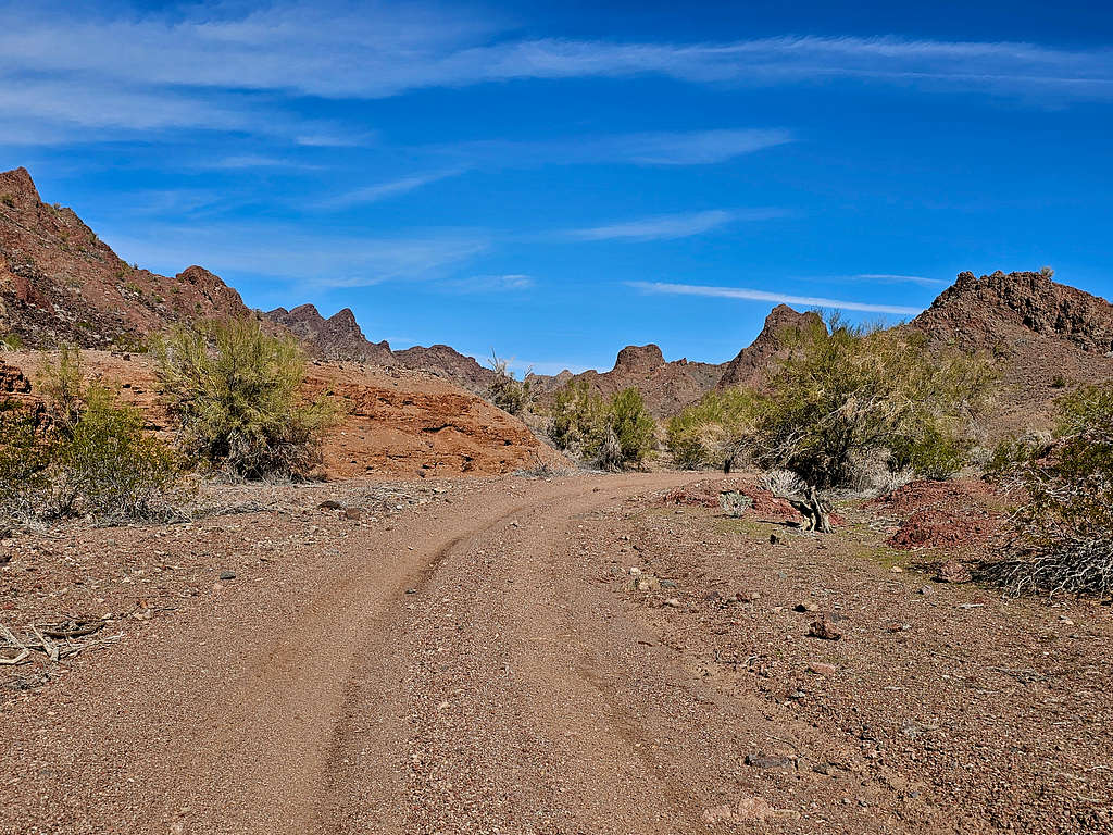
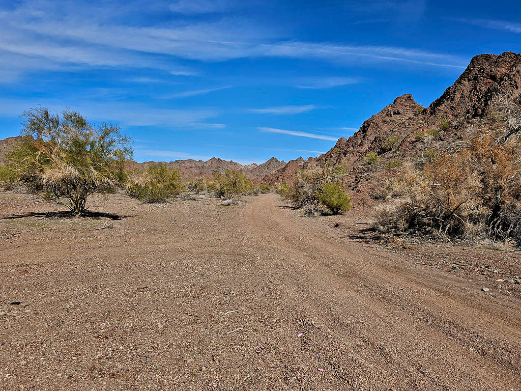
Continuing the road.
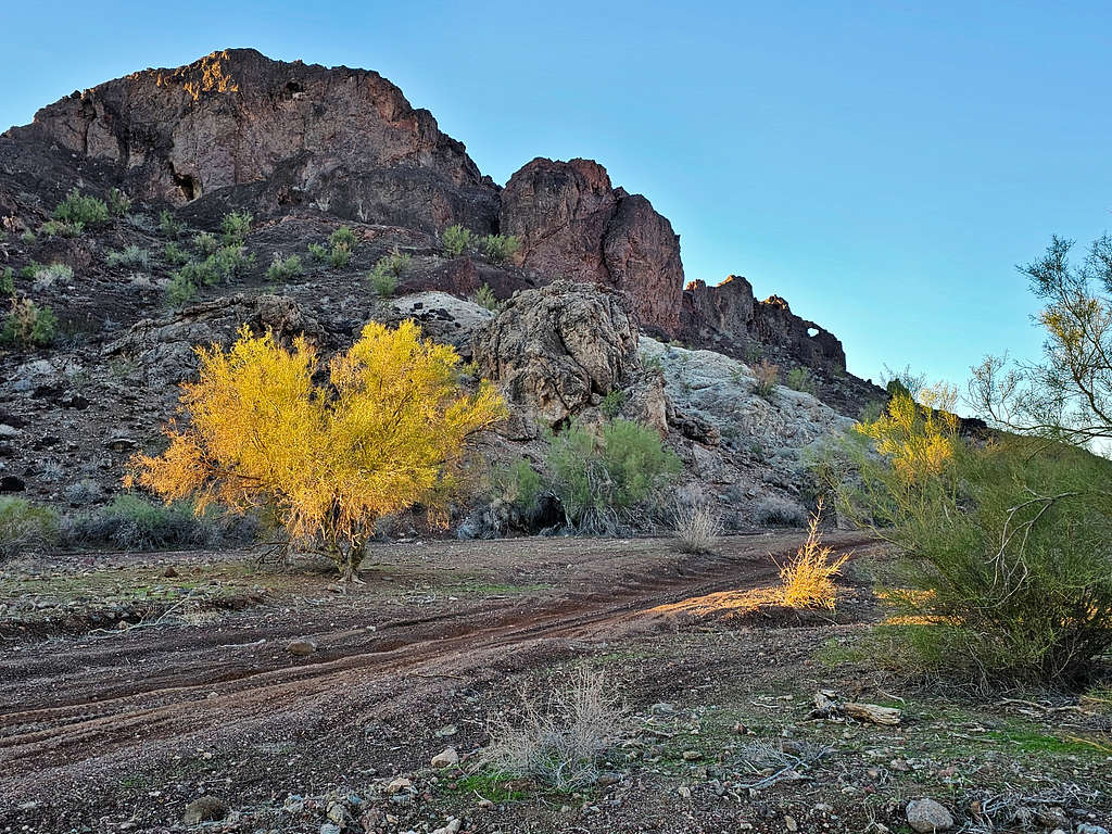
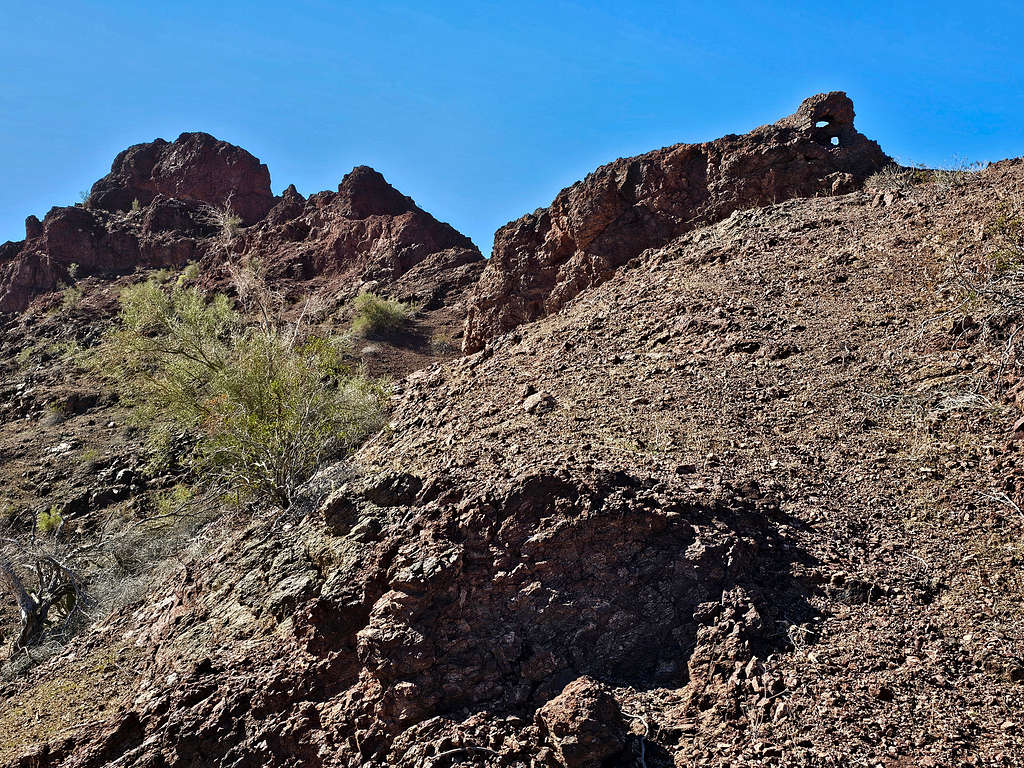
Unnamed Arch.
Near this column, the road made a broad turn to the north.
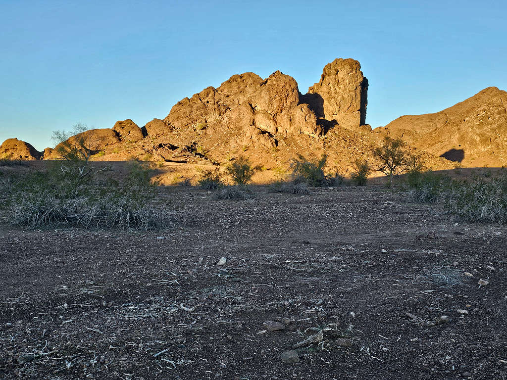
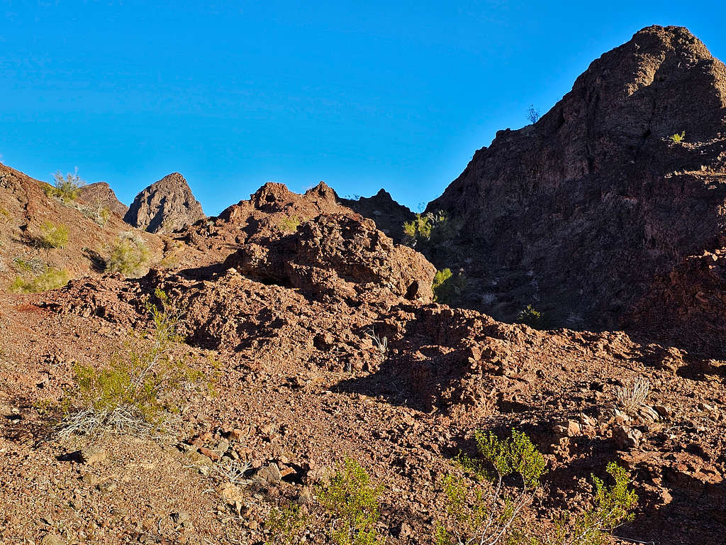
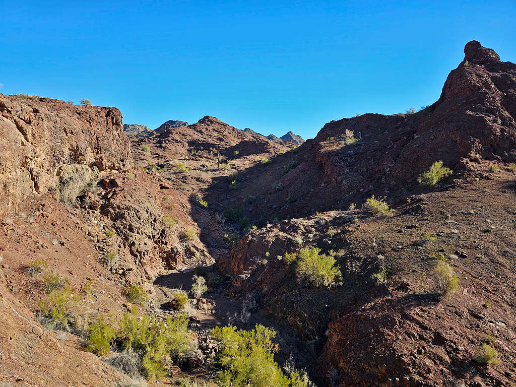
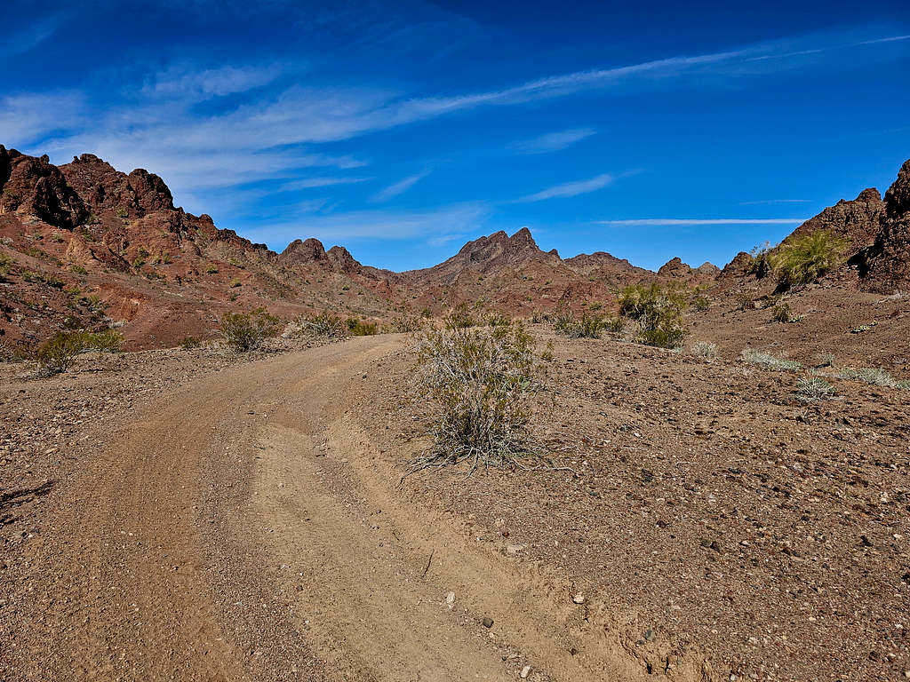
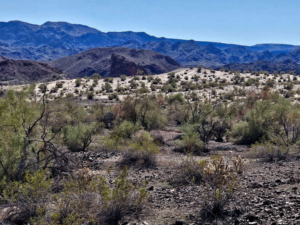
A canyon began to form.
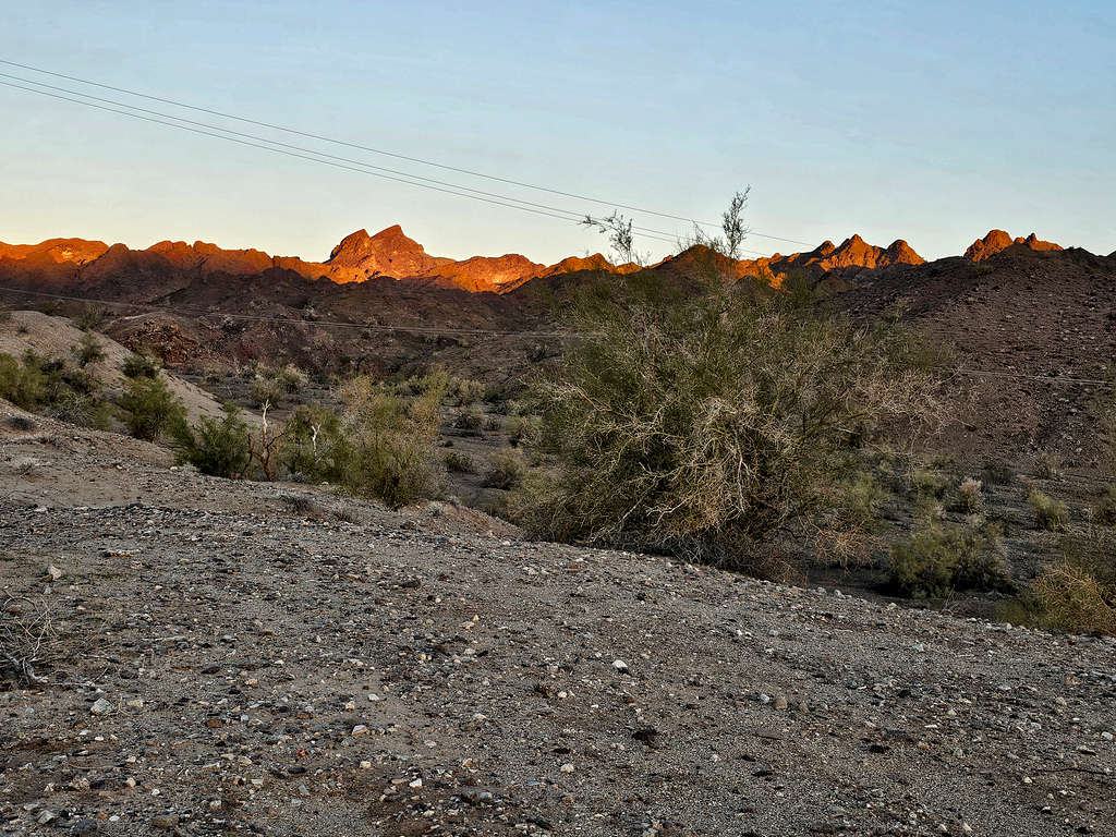
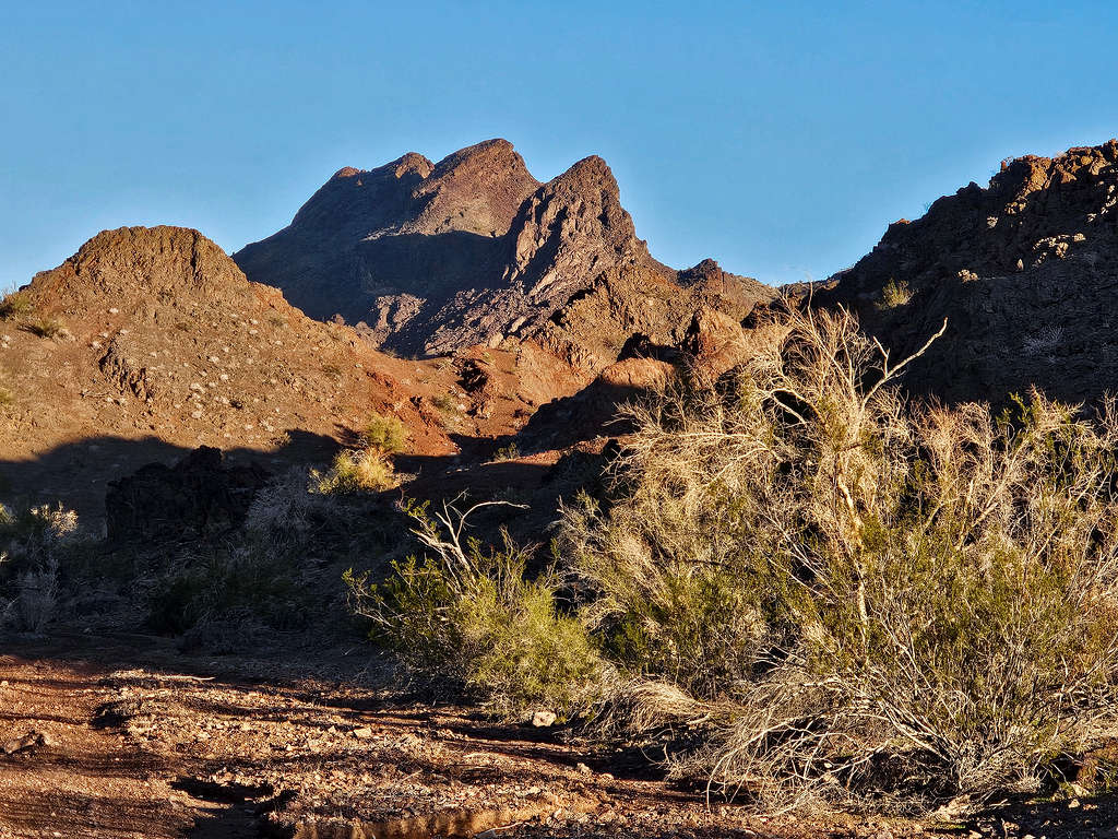
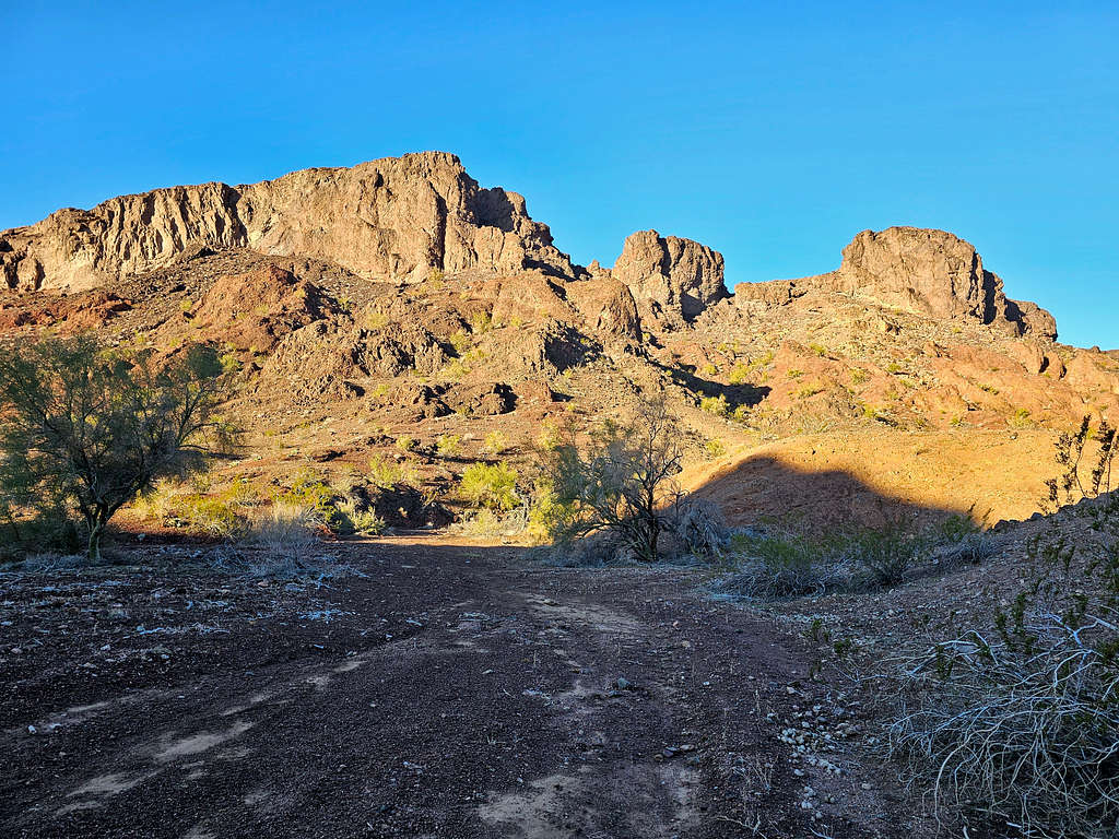
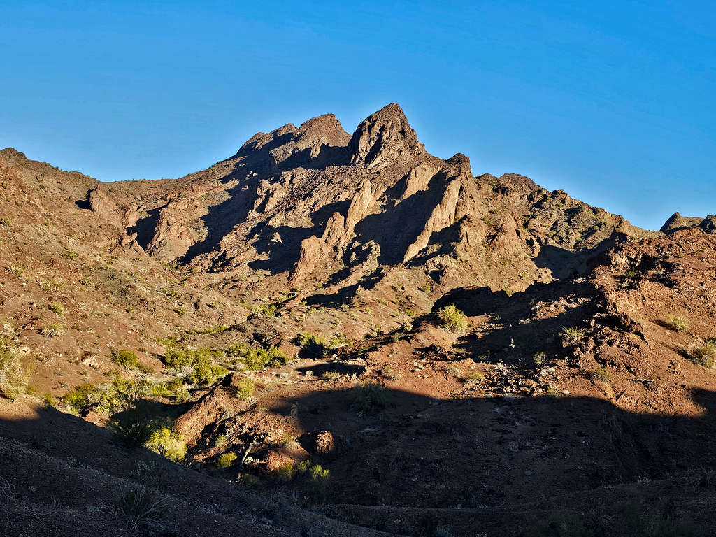
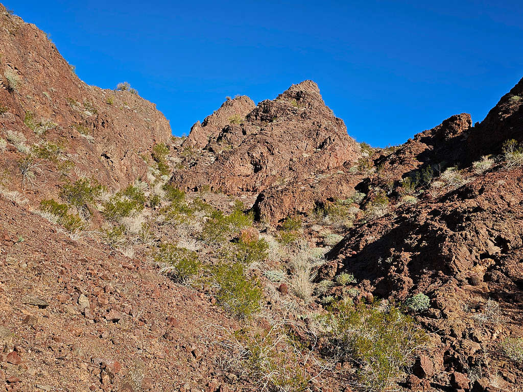
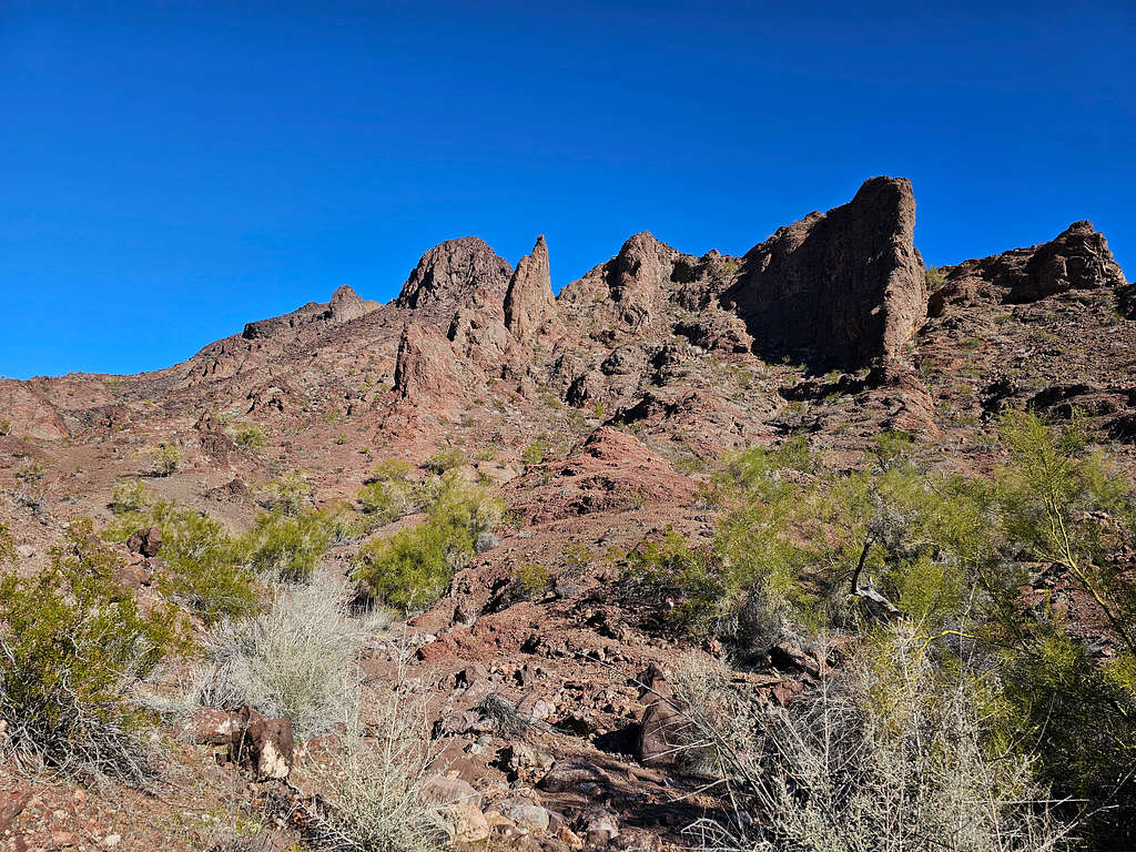
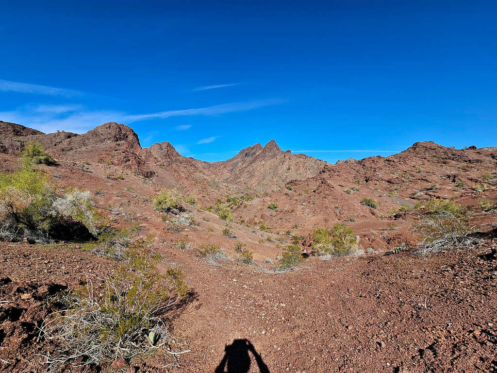
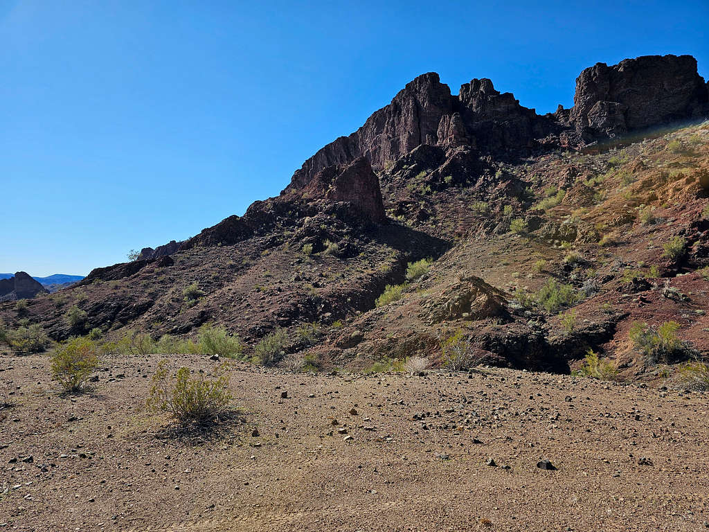
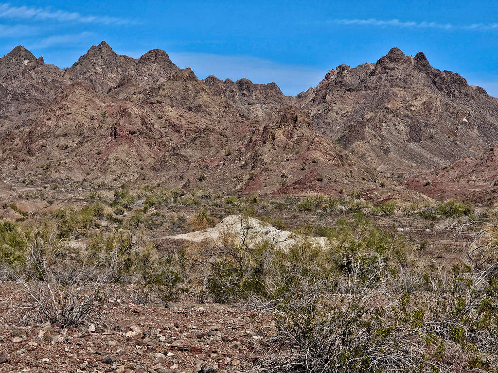
A 3 horned jagged peak came to view, and I realized that it was Peak 1896 ft. It looked very different than what I had seen on Google Earth which had shown it as a broad less jagged peak. Zoomed views.
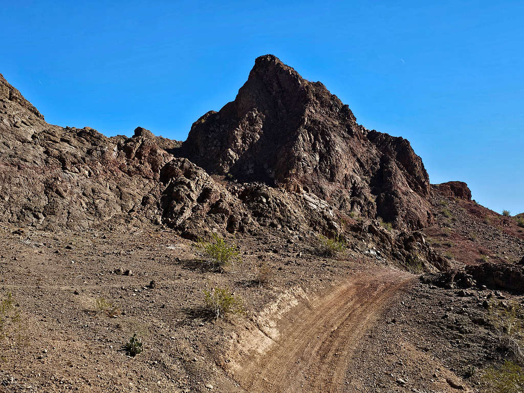
Big wall of Peak 1151 ft.
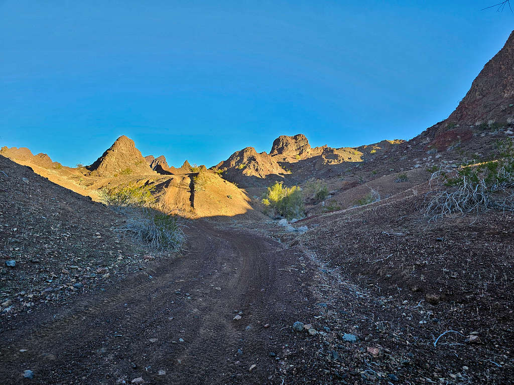
Up the canyon.
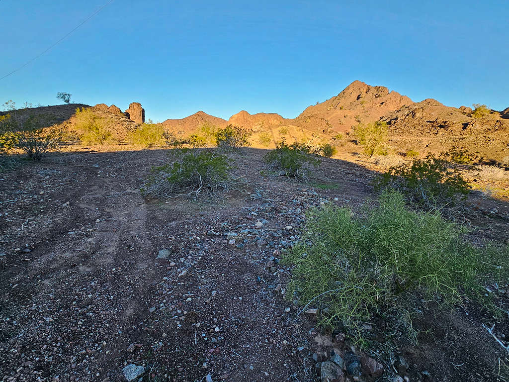
After 2.35 miles of hiking, I reached the end of the road. A beaten path went up to the 940 ft saddle where I had planned to go.
Reached the 940 ft saddle at 7:38 AM. Peak 1896 ft appeared to the northeast. It did not look promising.
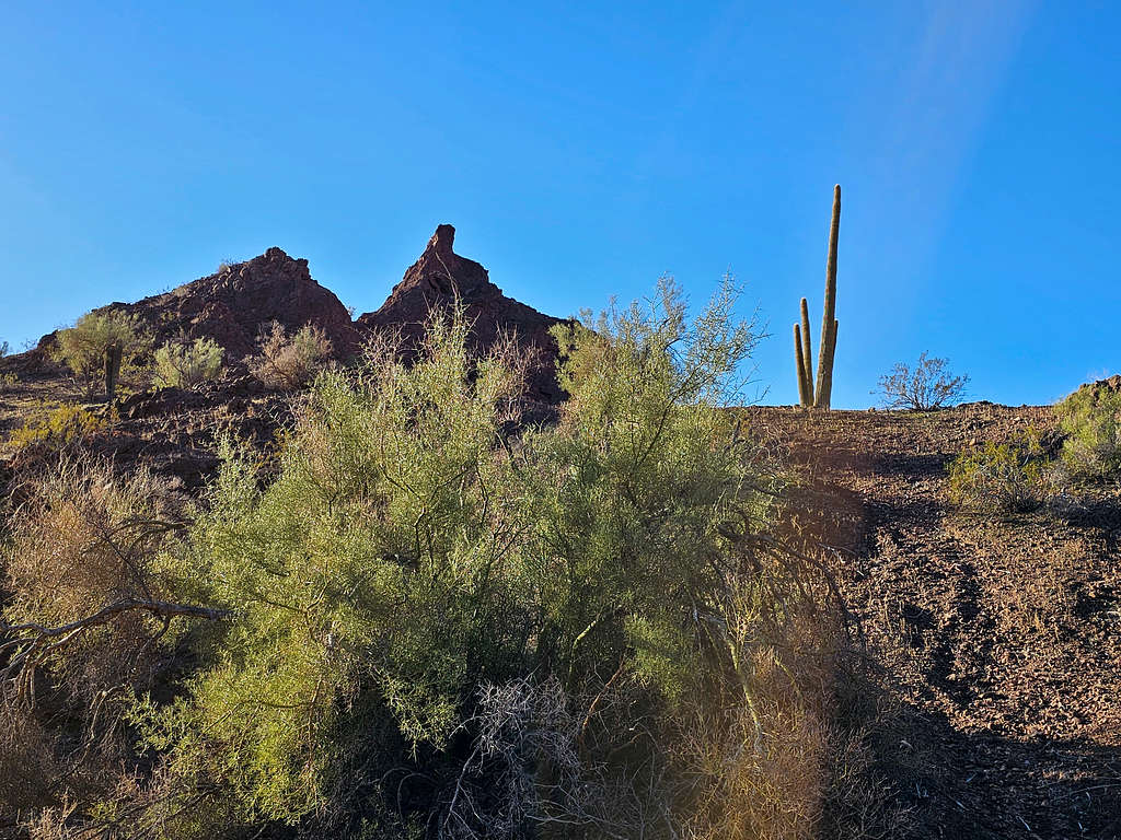
Went down 100 ft or so to reach the bottom of a drainage. A Saguaro Cactus came to view. Saguaros are apparently extremely rare in California.
Google Earth had shown that if I went north up the drainage toward the base of the peak, I would run into walls. As planned, turned south, and went down the drainage running into an impassable dry fall almost immediately. Fortunately, I was able to bypass it easily. Hiking in the canyon below the dry fall.
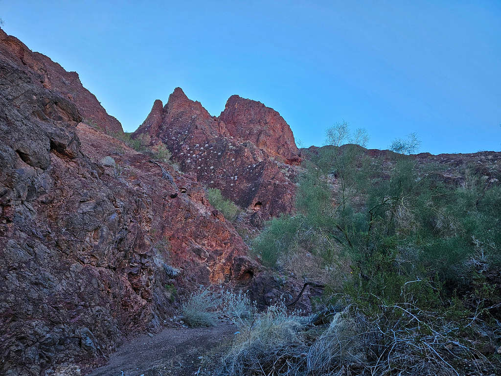
After a few twists and turns, I reached where the path that I had put in my GPS indicated that I needed to exit the canyon. Went up a steep slope on the north side of the canyon. The slope was made of very hard dirt with loose gravel all over it. A slip on the loose gravel could have led to broken bones. I was wondering why I was risking that, to reach an obscure little peak? The slope eased a little and the couloir that I had planned to climb came to view. It was filled with bushes. What I did not need was a snake or scorpion bite among those bushes, well it was winter, and I had not seen any creepy crawlies.
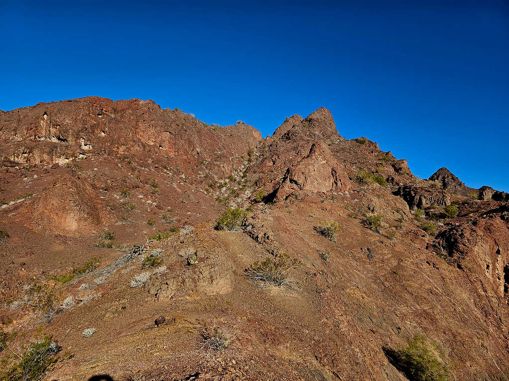
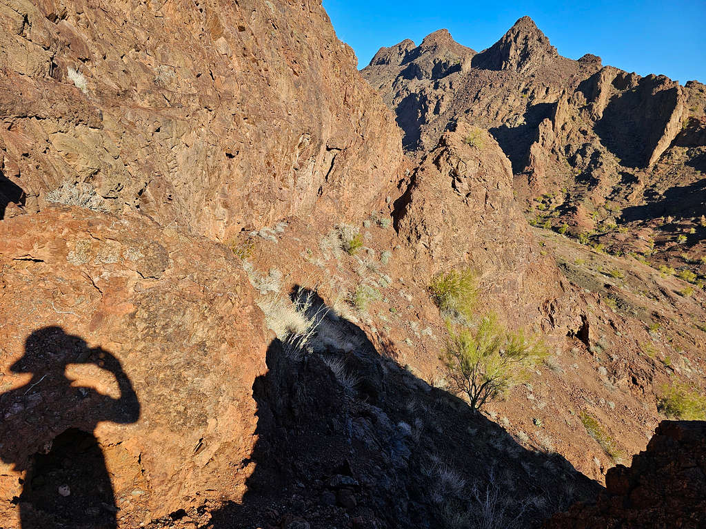
I had no desire to get myself involved with that couloir. It looked as if I veered right, I could reach a high point beyond which I could not see. Started going that way. The slope became very steep, and the loose gravel was very concerning. I knew going back down would be harder. Reached the high point and it turned out to be a dead end for me. The summit of Peak 1896 ft had come to view, and it looked hard. Decided to go back. It was 8:19 AM, 1100 ft elevation and 2.97 miles of hiking.
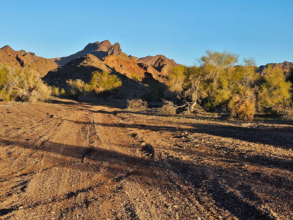
Turned back and began to go down very cautiously. I had views of the other side of Peak 1151 ft that I had seen earlier.
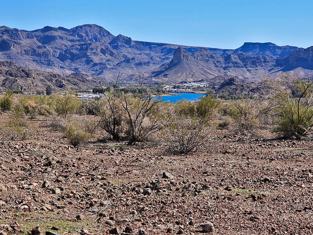
A glimpse of the Colorado River and the sand dunes by Parker Dam Road.
Looking into the canyon I had come from and the Saguaro Cactus.
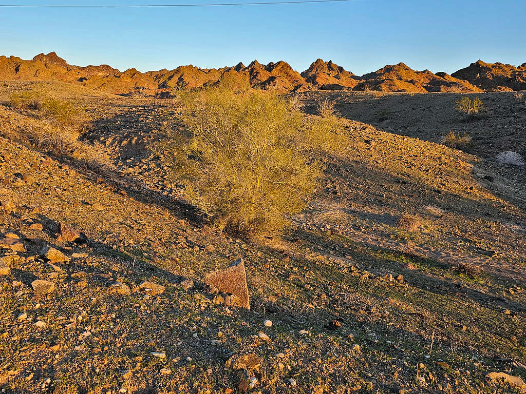
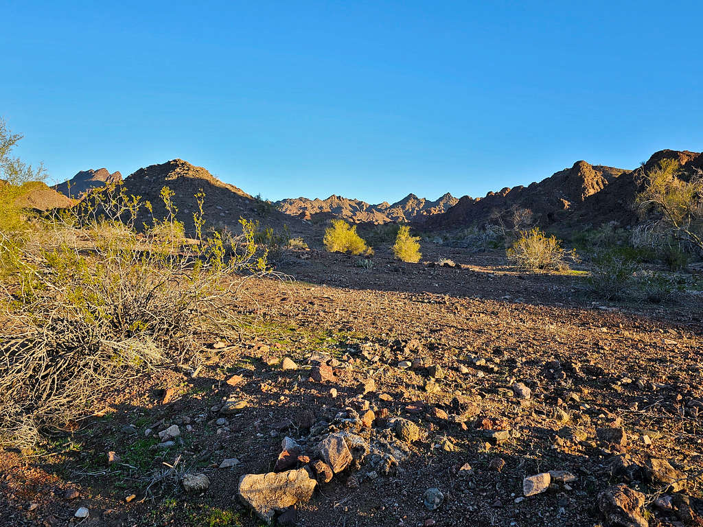
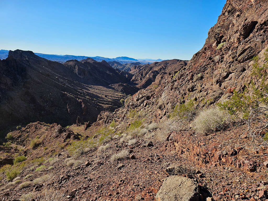
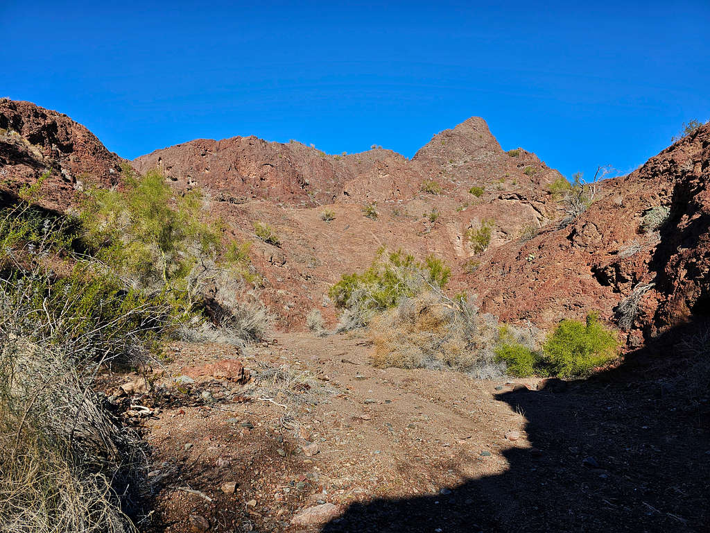
Once I was down the steep section and back into the canyon (790 ft), I felt better. Decided to walk aimlessly up the canyon. I no longer had the desire to reach the summit. The canyon opened giving me good desert views.
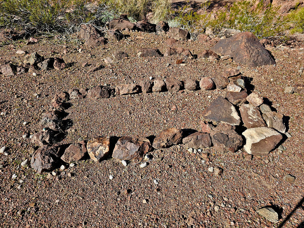
A grave? Who? From when?
The canyon became narrower and overgrown. Going was no longer fun. At 9:30 AM, 4.05 miles and 1044 ft, I sat somewhere and had lunch. Left at 9:50 and walked back down the canyon then up to the 940 ft saddle. A tiny arch was visible to the west.
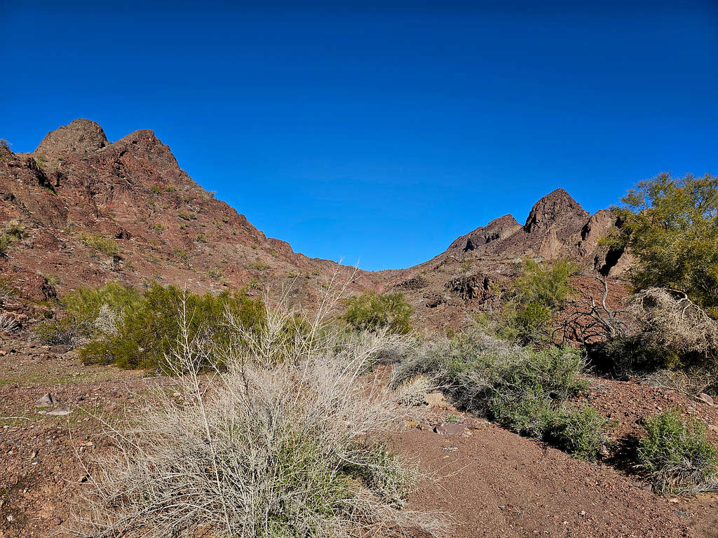
Another look at Peak 1896 ft from the saddle.
Went down to reach the road.
I heard a loud ATV approaching until it reached me. The old couple in it asked if I knew where the oasis and the palm trees were. I told them I was not aware of the existence of such a place. They left and fortunately I did not come across any other vehicles or even people.
Walking back to the starting place.
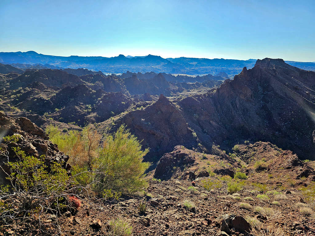
Jagged peaks to the north.
Colorado River.
Zoomed view of the sand dunes by Parker Dam Road.
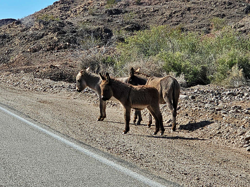
Reached my rental Jeep at 11:16 AM and 7.15 miles. Wild Burros on Parker Dam Road.