
|
|
Area/Range |
|---|---|
|
|
34.30540°N / 114.3316°W |
|
|
4131 ft / 1259 m |
|
|
Overview
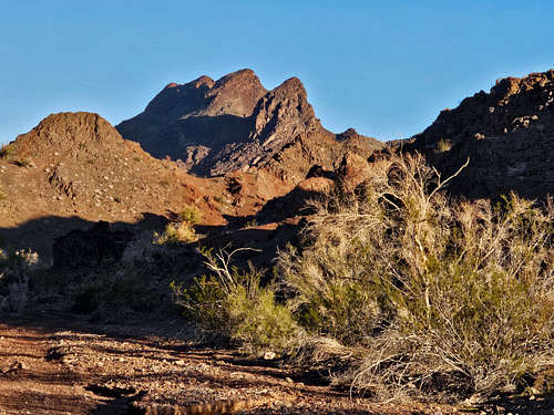
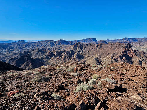
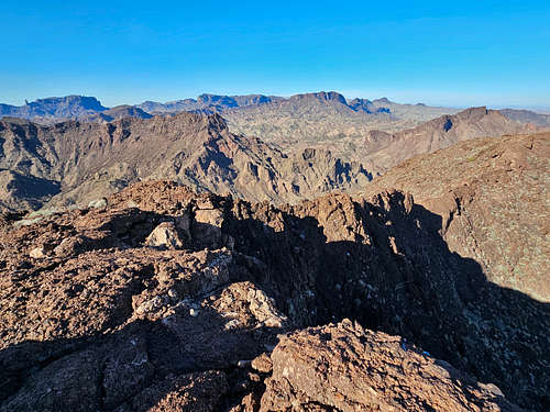
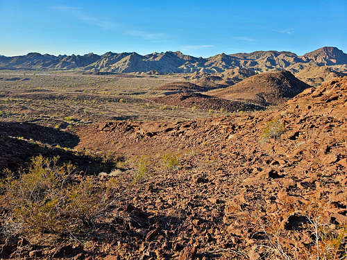
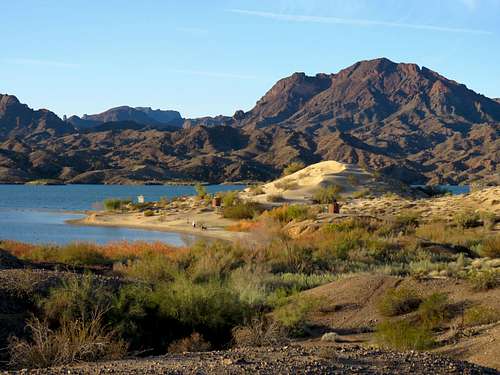
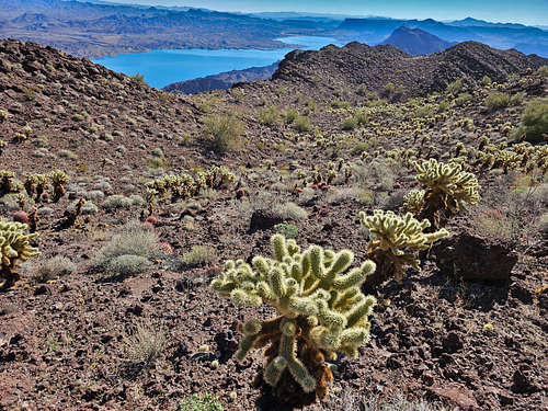
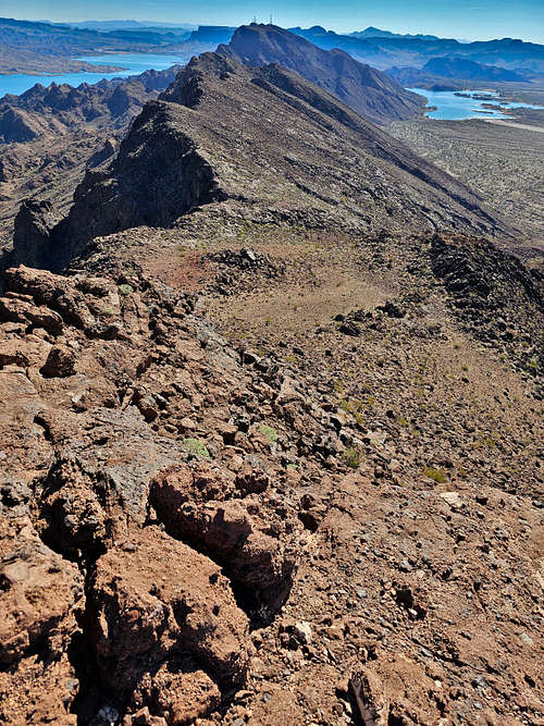
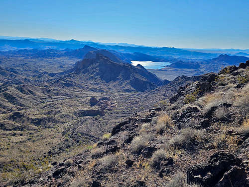
The Whipples are a small desert mountain range in southeastern California that rise to the west of the Colorado River and Lake Havasu. On its way south, the Colorado River runs into the Whipple Mountains and is forced to turn east bypassing the mountains before returning to its original course. The mountains cover an area roughly 21 miles east-west by 14 miles north-south and rise to a maximum height of 4131 ft.
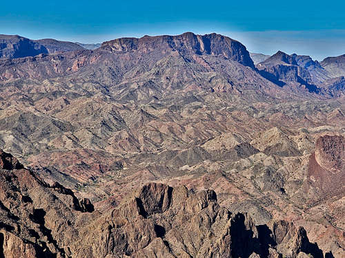
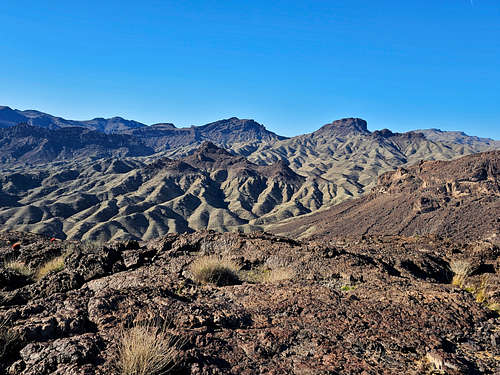
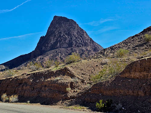
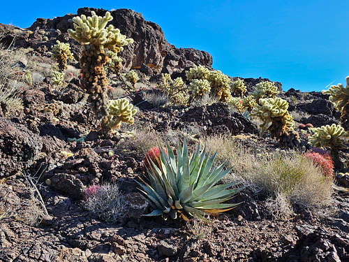
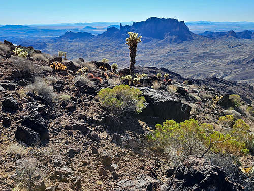
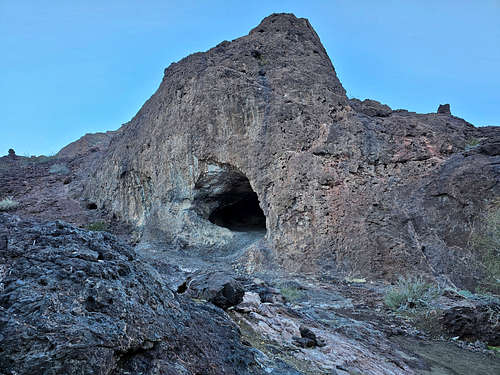
The eastern half of the Whipple Mountains are lower in elevation but give rise to jagged peaks that are dark red to black in color. In contrast, the western peaks are higher but drab desert brown. A large canyon that drains southwest to northeast, bisects the mountains.
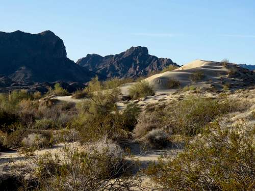
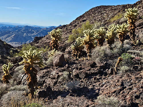
The mountains receive around 5.6 inches of rain per year. Summers are hot with an average high temperature of 104 degrees F and winters are mild with an average low temperature of 45 degrees F. Typical vegetation consists of creosote bushes, cholla and barrel cacti as well as Ironwood, palo verde and smoke trees.
77000 acres of the central and western parts of the mountains are preserved as Whipple Mountains Wilderness. As of this writing, there are no official trails in the mountains. Beaten paths might be found on the way to the more known peaks such as Cupcake Mountain or Muffin Peak.
The mountains were named after Lieutenant Amiel Weeks Whipple. In 1853 congress authorized a series of expeditions to the American west to find the best path for a transcontinental railway. One of the expeditions was led by Whipple who surveyed a possible path from Fort Smith Arkansas to Los Angeles (where I-40 runs today).
Access:
Areas around the Gene Wash and Copper Basin Reservoirs in the eastern parts of the mountains are fenced off and not accessible to the public.
The wilderness obviously has no roads.
Most people access the Whipple Mountains via a paved road that starts just south of Parker Dam and goes to Black Meadow Landing on Lake Havasu. A dirt branch of this road goes to Havasu Palms. A much rougher branch follows the powerlines deeper into the mountains.
Copper Basin Open OHV Area off of Parker Dam Road can also provide access to the southeastern corner of the mountains. Other longer rough roads can take you to the southern and western parts of the Whipple Mountains.
Random Pictures of the Mountains
|
|
|

|
|
|
|
|
|
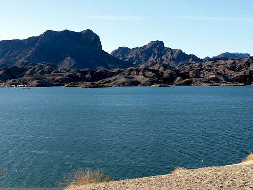
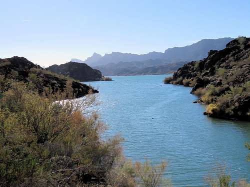
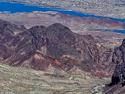
The Whipples from the east shores of Lake Havasu in Arizona
|
|
|
|
|
|
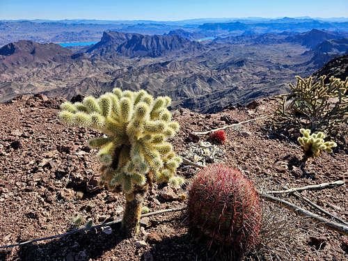
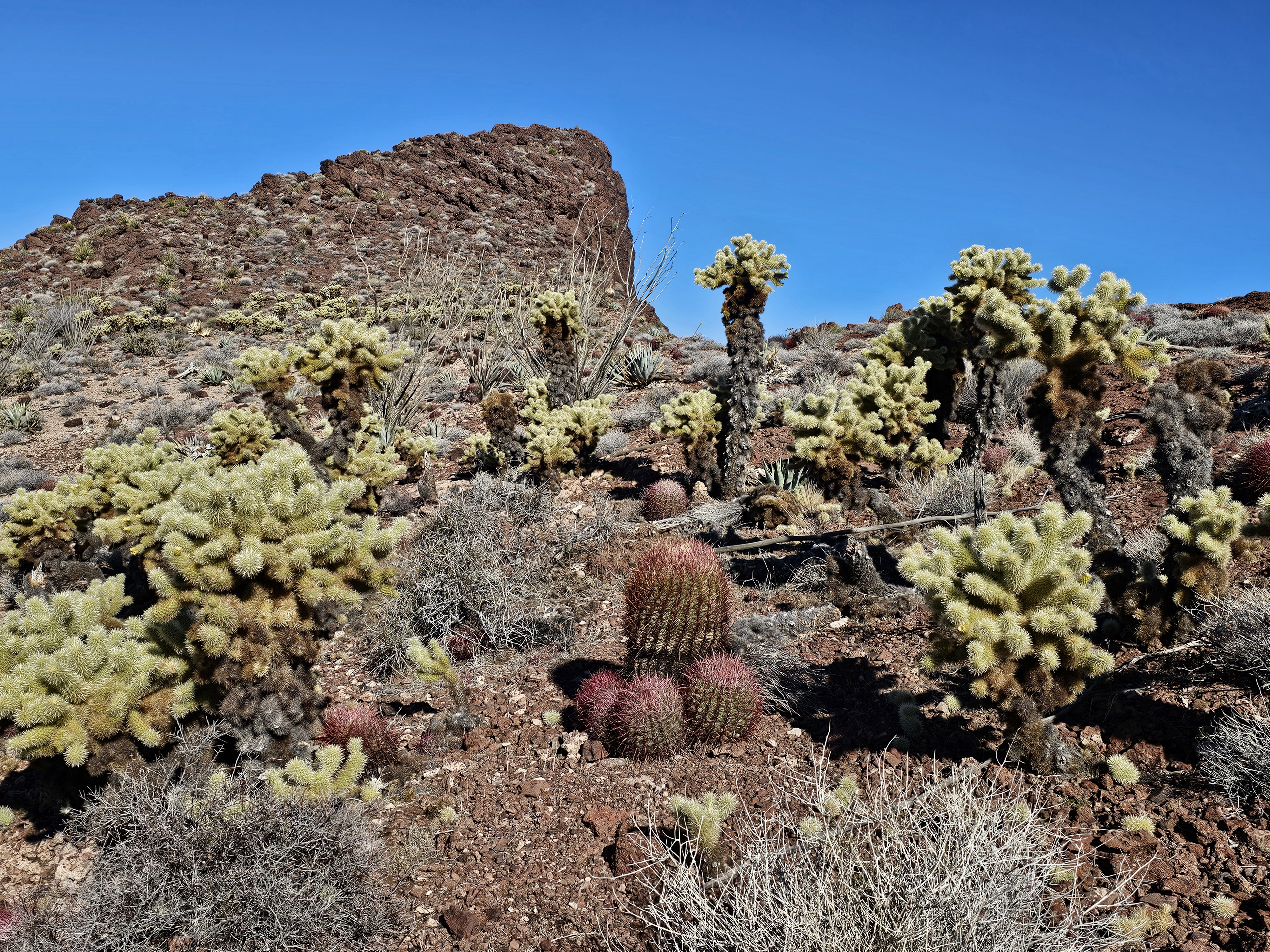
Cactus Forests
|
|
|
|
|
|
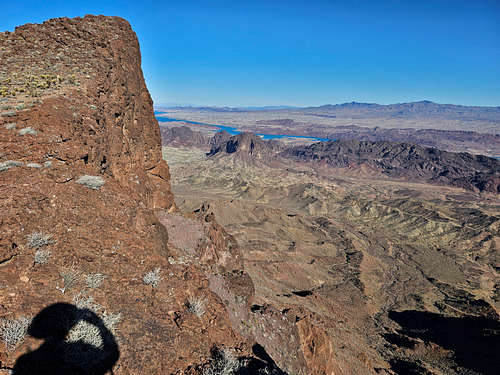
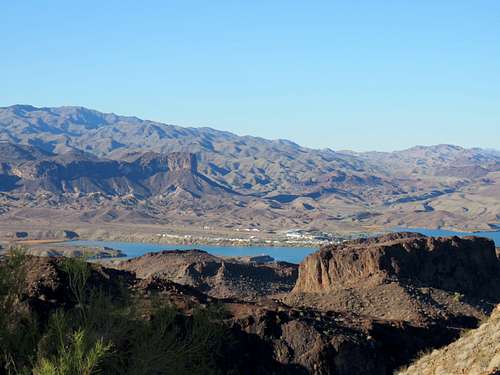
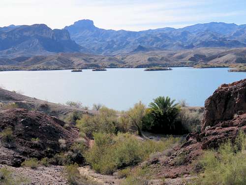
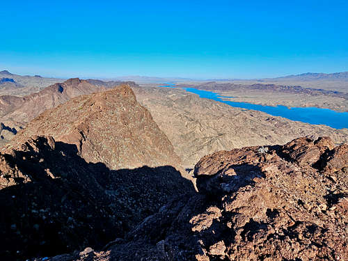
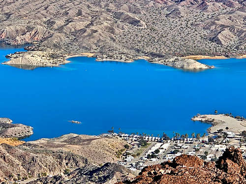
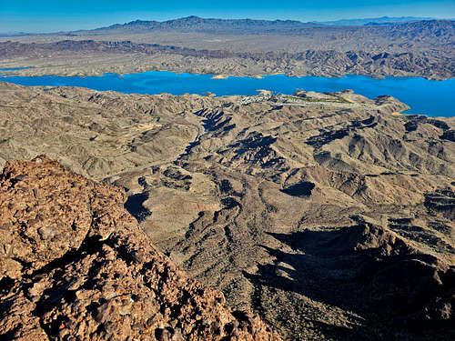
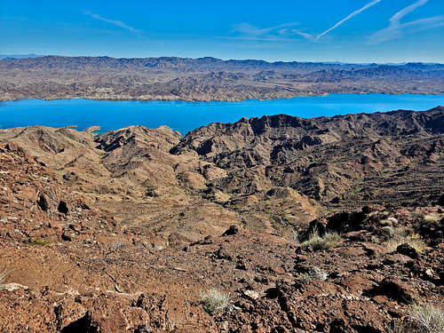
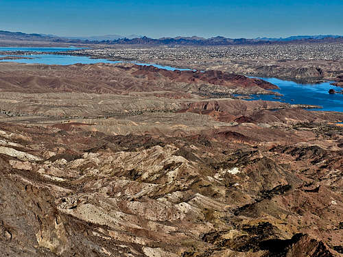
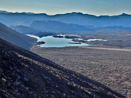
Lake Havasu from the Whipple Mountains
|
|
|
|
|
|
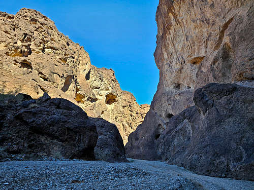
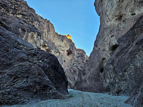
Dynamite Canyon
|
|
|
Gene Wash and Copper Basin Reservoirs
|
|
|
Red Tape
No fees or permits required. Copper Basin and Gene Wash Reservoir Areas are off limits to the public.