
|
|
Mountain/Rock |
|---|---|
|
|
40.11768°N / 120.31333°W |
|
|
Plumas |
|
|
Hiking |
|
|
Spring, Summer, Fall, Winter |
|
|
7180 ft / 2188 m |
|
|
Overview
Black Mountain rises west above Honey Lake in northeastern California within the Diamond Mountains. The summit area has radio towers and a fire lookout, making it fairly accessible. A good dirt road leads all the way to the fire lookout in about 7 ½ miles from the end of the pavement.
From the top of the road, the true summit is an easy ridge walk with some light bushwhacking about a quarter mile south. From the summit, you can do an easy ridge walk and reach Otis Canyon Peak 7,118’ and McKesick Peak 7,096’. Although if you want to summit all three walking at least 300’ up to Black Mountain, a good starting point is about 6 ¾ miles up the road at a lookout point over Honey Lake. That way you can get all three summits in about 10 easy miles.
Black Mountain sees a lot of traffic from RVs, ATVs, and trucks from people just wanting to be in the forest. There are no lakes in the area around the mountain. The views from the summit encompass forests to the west and Honey Lake and the deserts to the east.
The road is very good when dry. Muddy conditions are not recommended to drive up here. Black Mountain is best visited in spring or fall months.
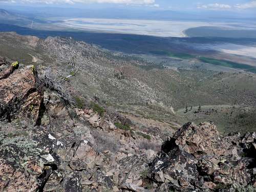
Honey Lake from the summit
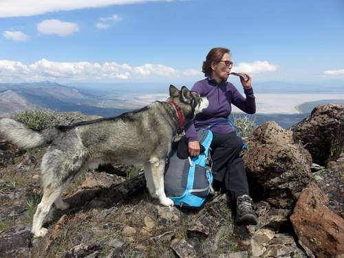
Taking a break at the summit
Getting There
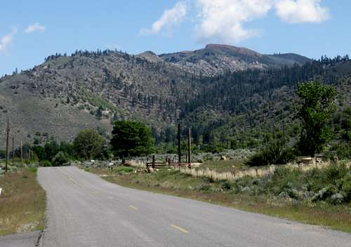
Black Mountain from the northwest
Black Mountain is accessed from the Milford Grade. This road is located west of the very small town of Milford, California. To get there, drive about 60 miles north from Reno, Nevada or about 25 miles south from Susanville, California.
The north entrance to the 336 Road is paved. The south entrance is not. But both lead to the same place where a paved road heads up towards the campground. This is the Milford Grade Road. It leads all the way to the summit area, including the lookout tower and the radio towers.
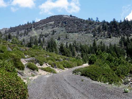
View up to the fire lookout
Once at the radio towers, there is a ridge that rises about 20’ above. You descend to a saddle below the radio tower and hike up about 70’ to the summit. The ridge is pretty flat, so it was hard to tell the exact summit. After searching around a bit, it appeared that the summit was some rocks at a lookout point on the east edge of the ridge. There were a few points presumably only a foot or two lower elsewhere. But they all seem to peak at the rocks.
While even 2WD vehicles can drive all the way to the summit area, I chose to hike from near Kaufman Campground near the start of the dirt road, and after several shortcuts, reached the summit in about 5 ½ miles, gaining about 2,300’. It would have been about 5 ¾ miles from the campground, gaining over 2,400’.
Red Tape
There is no red tape or restrictions for hiking in this area. The lands are within Plumas National Forest.
Camping
Visitors can stay near the summitor at Laufman Campground at the base of the mountain. The campground is free given that it is not a major campground.
External Links
Laufman Campground - Plumas National ForestBlack Mountain Fire Lookout - USFS