Blyukher Pass routefinding session, Arctic Ural
Or maybe it isn't the pass we think it is? So the map session goes on.
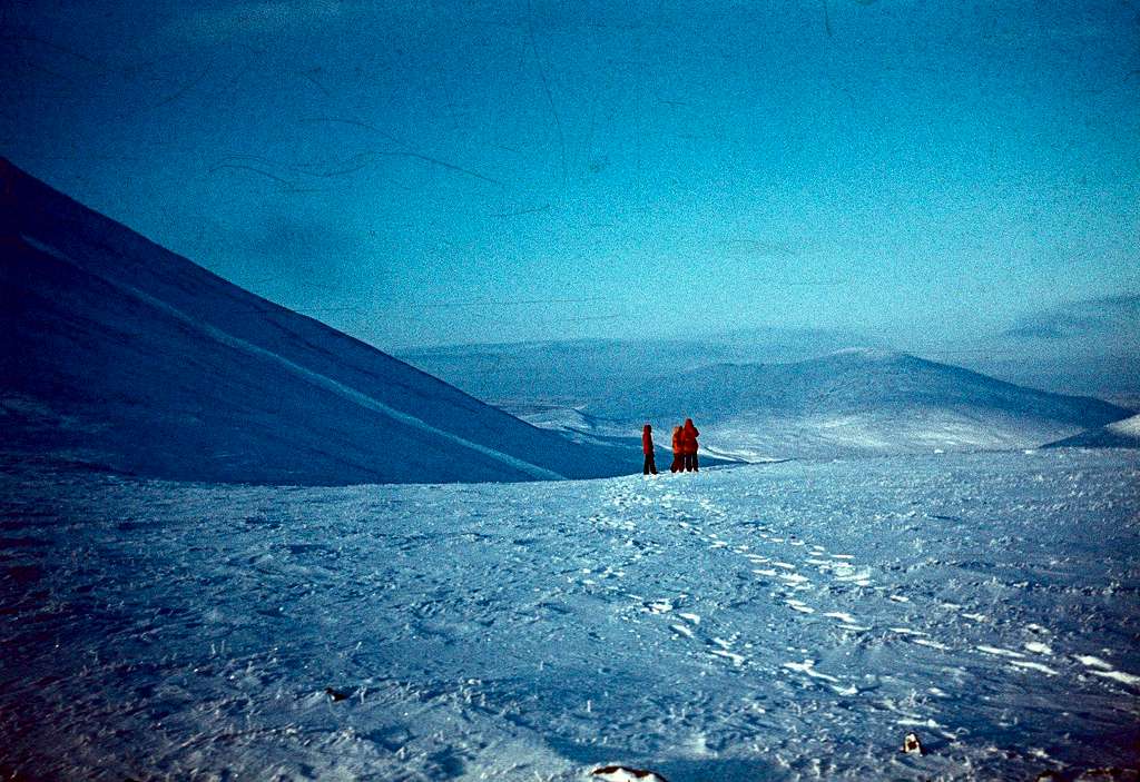
It used to be the real quandary of Arctic Ural approaches. A 30+ miler by magnetic compass over brushy, hilly tundra, in low visibility and in the absence of recognizeable landmarks. Once you finally hit the foothills, even when the visibility becomes nice again, it takes some effort to establish your real location.
Nowadays, with GPS, better maps, and satellite imagery, the skiers may be able to follow their routes even without seeing much around.
November 1984.


