
Comments
No comments posted yet.
|
|
Trip Report |
|---|---|
|
|
40.76260°N / 113.896°W |
|
|
Download GPX » View Route on Map |
|
|
Mar 4, 2021 |
|
|
Hiking |
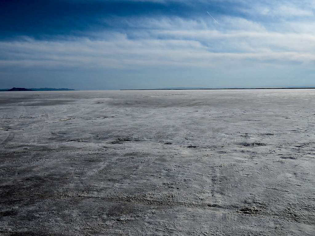
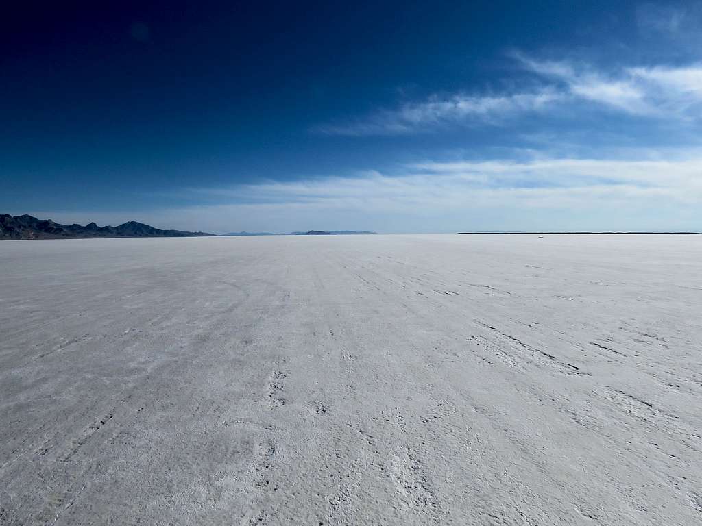
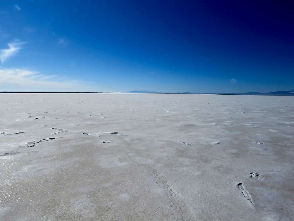
Bonneville Salt Flats is the largest of the salt pans that sit to the west of Utah’s Great Salt Lake. It is the dried lake bed of Lake Bonneville that covered most of western Utah 32 to 14 thousand years ago. With its totally flat surface, Bonneville Salt Flats is most famous for auto racing. Its beautiful nature in my opinion, makes it an attractive destination for hiking. One could hike for hours and perhaps days on the flat white surface while enjoying views of the surrounding desert mountains.
Hike Length: 8.20 miles
Elevation 4220 ft
Originally, I had planned to hike to the summit of West Mountain in Spanish Fork, Utah on this day but the forecast had changed to rain. Hiking the Bonneville Salt Flats was an idea that I came up with less than 24 hours before the hike. I am glad I did.
Left the hotel in Spanish Fork, Utah around 6:40 a.m. when it was raining. Drove north to Salt Lake City and then got on I-80 west. Rain stopped. The road skirted the southern shores of The Great Salt Lake and the northern tips of 3 mountains ranges before getting on a totally flat plain. I had a 160 mile drive but speed limit of 80 MPH on I-80 made it go faster than expected. Flat salt plains appeared all around the road and it slowly became sunny. Four mile before entering Nevada, I exited the highway, got gas and went on a short road that took me to the very end of it at Bonneville Salt Flats.
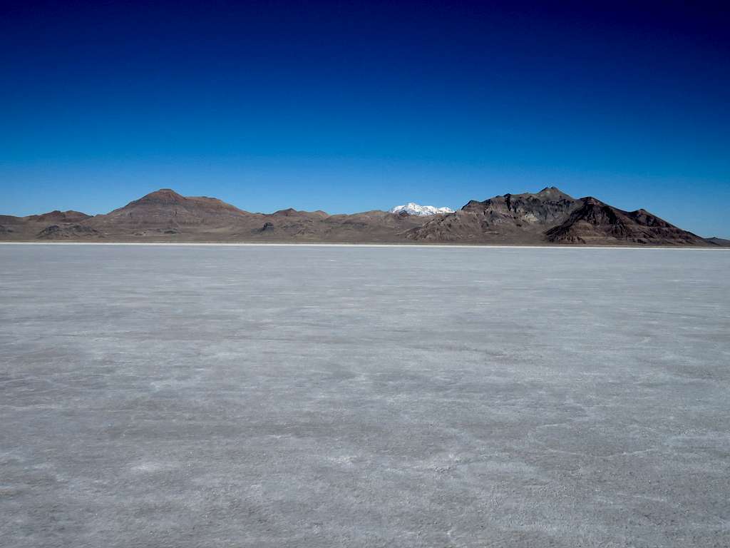
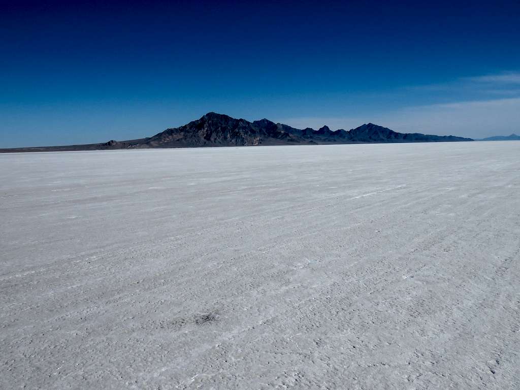
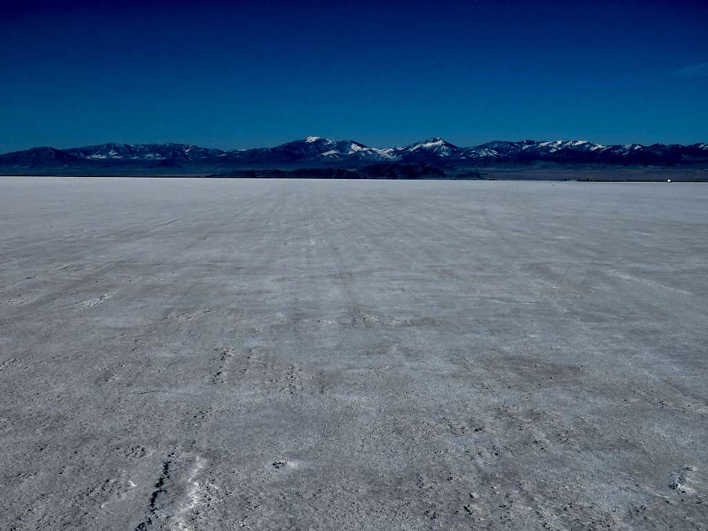
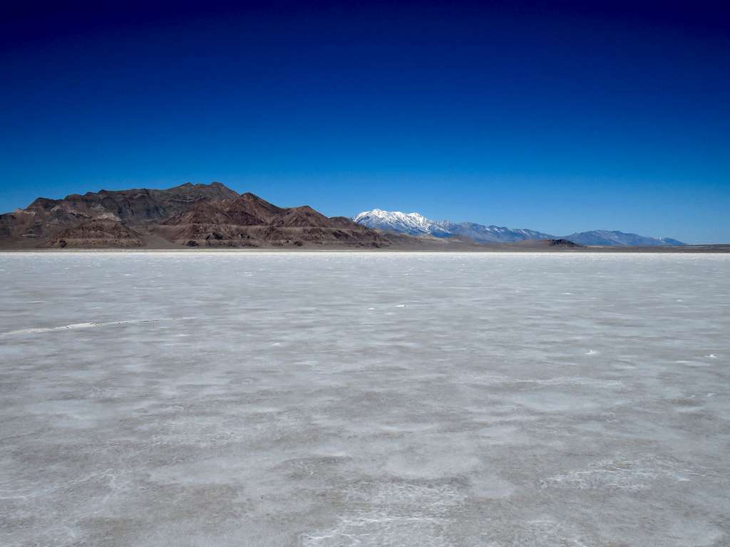
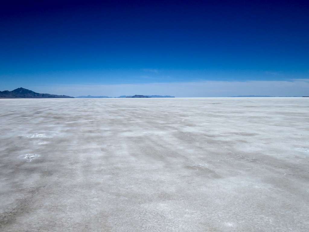
A van seemed to have camped on the salt flats but I did not see any people or cars until the end of my hike when I was back close to my starting place. Started my hike at 9:00 a.m. It was 34 degrees F. A flat salt pan sat in front of me. There was no trail and I could go in any direction. To the south, I-80 was only 1.5 miles away. Its noise continued all day even when I got much farther away. To the northwest, arid desert mountains were 4 miles away. The much taller and farther away snowy Pilot Peak rose above them.
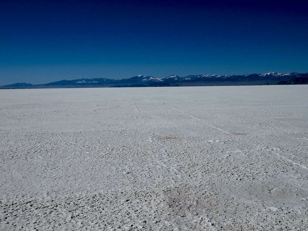
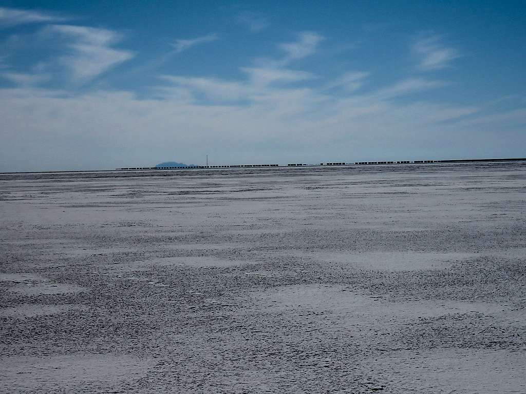
To the northeast, the salt flat seemed to stretch into the horizon. Floating Island appeared not too far away and at first glance sounded like a good destination but I had looked at maps the previous night and realized that the island was 17 miles away. Distances appeared shorter than they were. (Most of my pictures in this trip report are zoomed). Started to walk northeast toward Floating Island.
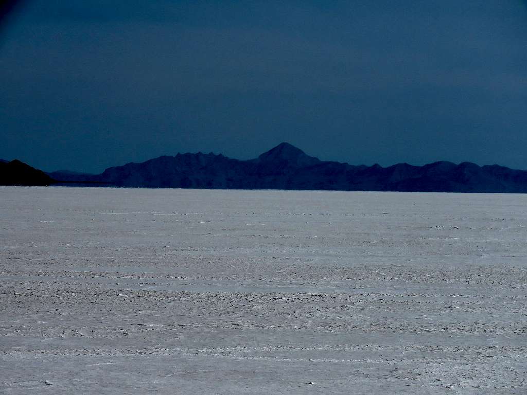
Jenkins and Cobb Peaks.
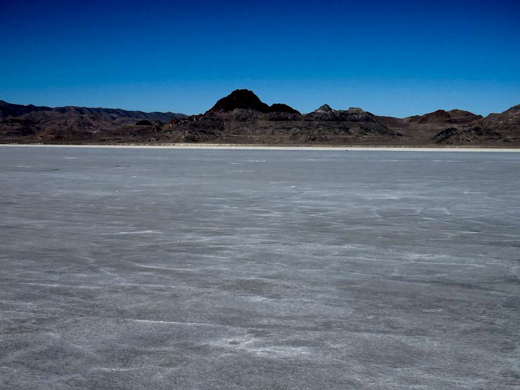
Volcano Peak.
I soon found myself in an area that had parallel lines on the salt flat reminding me of marks left by airplane landing gear on a runway. That area must have been the International Speedway. I was jokingly asking myself if a race car were to come toward me at 500 MPH, how much time would I have to get out of its way?!
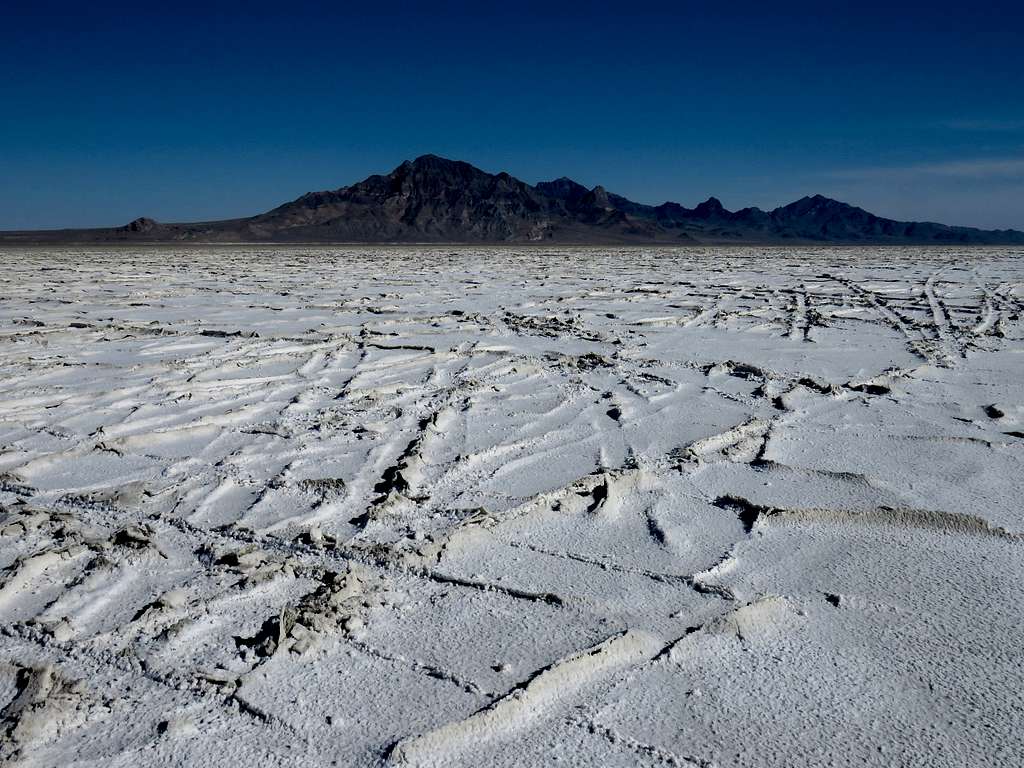
Looking southwest toward the Goshute Peak mountain range.
Looking east.
After a while, I decided not to go toward Floating Island anymore. I veered from a northeasterly to a more northerly direction going toward Jenkins Peak although my GPS showed that just getting out of the salt flat to reach the base of the mountain was 7 miles away. I soon reached a place where tire tracks left by cars when the salt flat must have been wet appeared all over the place. Had to be careful not to trip over the bumps. Got the feeling that I was walking on cracked ice and I might fall into icy cold water below.
Changed direction again going toward Floating Island getting back on smooth surface.
As I went further northeast, the snowy Pilot Peak which had gone out of view behind Tetzlaff Peak appeared again.
At 10:40 a.m., decided that I had gone enough. Sat in the middle of nowhere to have lunch. I had gone 4.23 miles. Another view of Goshute Peak range.
Zoomed view of Desert Peak 37 miles away.
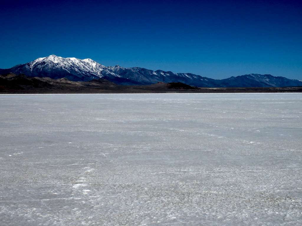
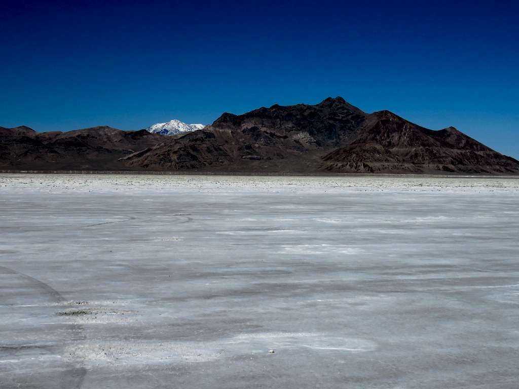
Pilot Peak.
Left at 11:10 a.m. walking back toward the starting place. Zoomed view of train 4.5 miles away.
Floating Island and Cobb Peak.
Pilot and Tetzlaff Peaks.
As I was nearing the starting point, I saw a regular car speeding back and forth on the salt flat. Reached my Jeep at 12:32 p.m. Temperature had risen to 55 degrees F. A few other people were there.