
-
 3694 Hits
-
 70.36% Score
-
 1 Votes
|
|
Mountain/Rock |
|---|---|
|
|
10.29012°S / 76.85754°W |
|
|
Hiking, Mountaineering |
|
|
Winter |
|
|
16240 ft / 4950 m |
|
|
Overview
Cerro Azulcocha is a marvelous viewpoint on the eastern side of Siula Grande, Nevado Yerupaja and many other giants of Cordillera HuayhuashGetting There
This mountain can be accessed easily during the 10 to 14 days trekking around Cordillera Huayhuash. A perfect map for this trekking trip is the excellent map 0/3c Alpenvereinskarte Cordillera Huayhuash of the Austrian Alpine Club (scale 1:50,000).Route
Cerro Azulcocha is about 500 meters air distance southwest of the 4830 meters high col Siula Punta (GPS coordinates: S10.28757 W76.85563), which is traversed on the Huayhuash trekking.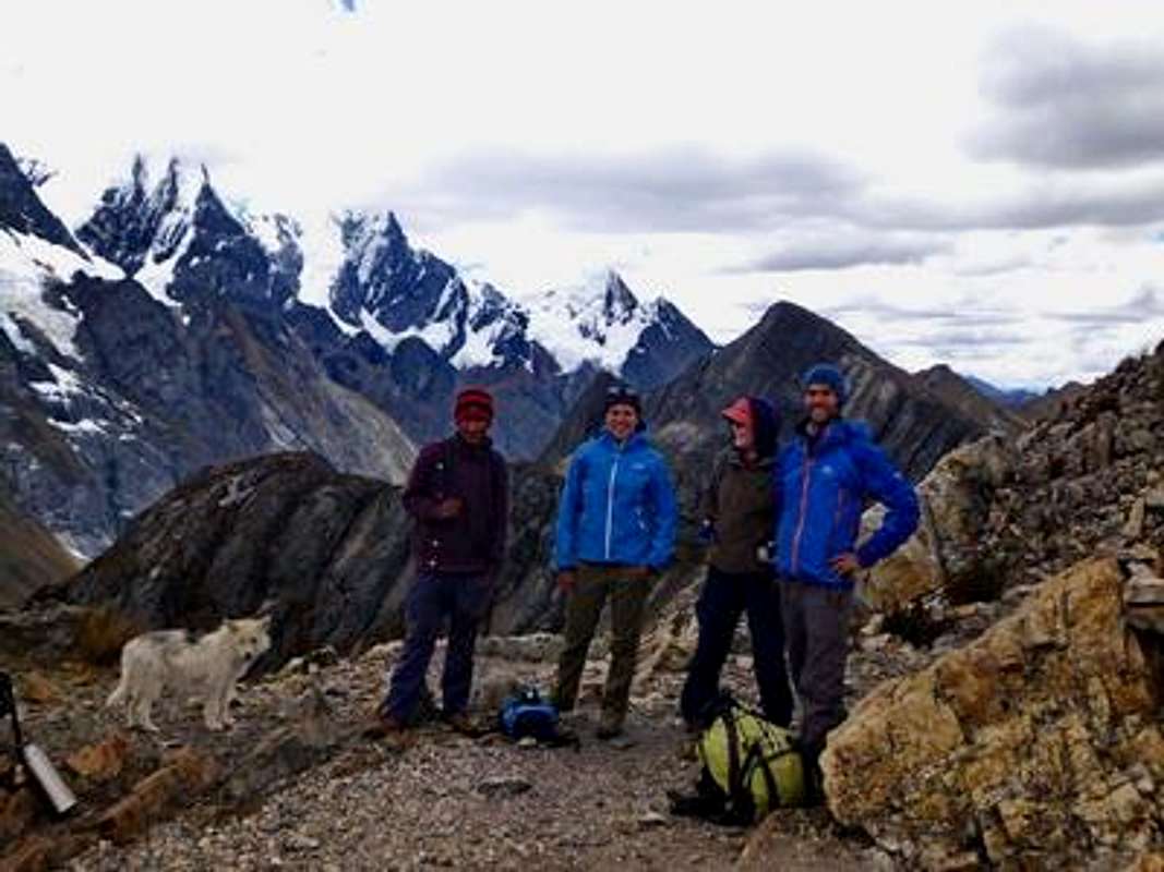
Resting on Siula Punta
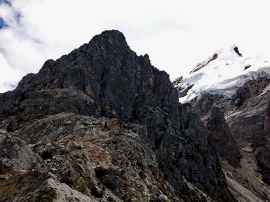
Cerro Azulcocha seen from Siula Punta
The views from the summit are stunning (despite some clouds in the higher mountains)

Summit of Cerro Azulcocha with view to Northeast
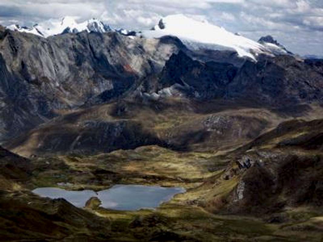
View to Southeast with Laguna Quesillococha and Cordillera Raura